Newbold Brow

Settlement in Lancashire

England

Newbold Brow

Rochdale Metro station and Mosque in Maclure Road
Rochdale Metro station and Mosque in Maclure Road Credit: Raymond Knapman

Newbold Brow is a small village located in the county of Lancashire, in the northwestern part of England. Situated amidst picturesque countryside, this charming village offers a tranquil and idyllic setting for its residents and visitors alike.

The village is characterized by its traditional English architecture, with rows of quaint cottages and stone-built houses lining its streets. The surrounding landscape is dominated by rolling green hills, providing stunning panoramic views that attract nature enthusiasts and hikers. The village is also home to a number of farms, which contribute to the rural ambiance.

Despite its small size, Newbold Brow has a strong sense of community. The locals are friendly and welcoming, and there are several community events and gatherings that take place throughout the year. The village pub, a focal point of the community, serves as a meeting place for residents and visitors, offering a range of traditional British dishes and locally brewed ales.

Newbold Brow is conveniently located near several larger towns and cities, such as Blackburn and Preston, which provide access to a wider range of amenities and services. The village is well-connected by road and public transportation, making it easily accessible for both residents and tourists.

Overall, Newbold Brow is a charming and peaceful village, offering a serene escape from the hustle and bustle of urban life. Its beautiful countryside, strong community spirit, and proximity to nearby towns make it an appealing place to live or visit for those seeking a slower pace of life and a closer connection to nature.

If you have any feedback on the listing, please let us know in the comments section below.
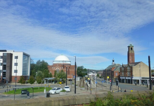
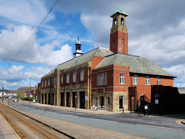
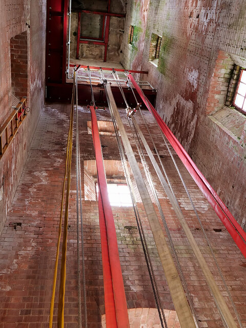
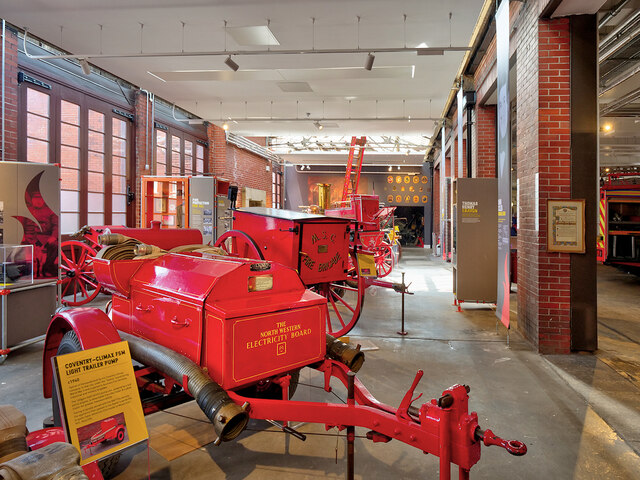
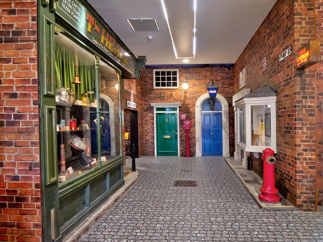
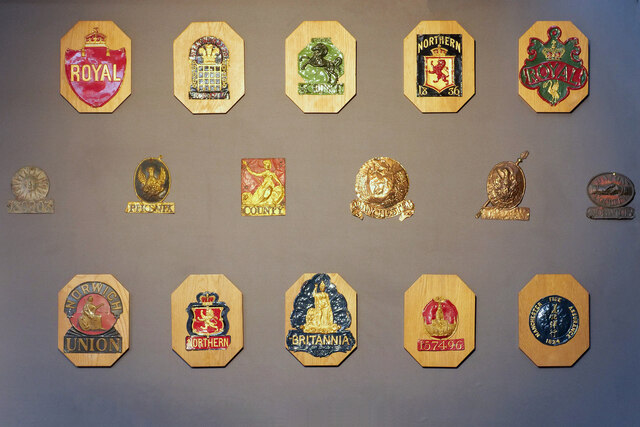
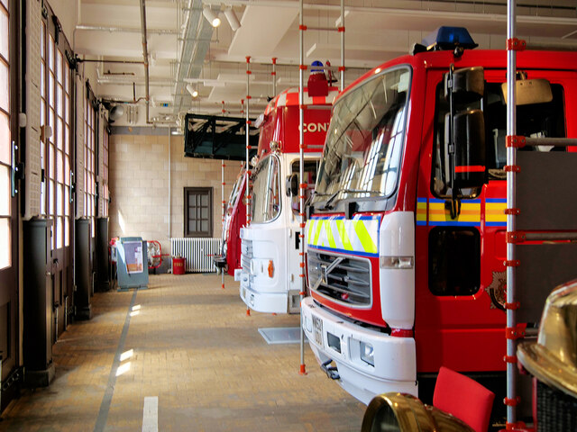
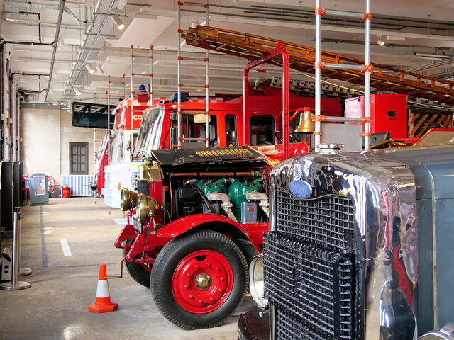
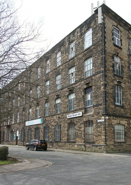
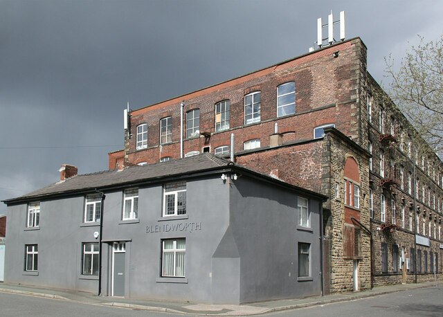
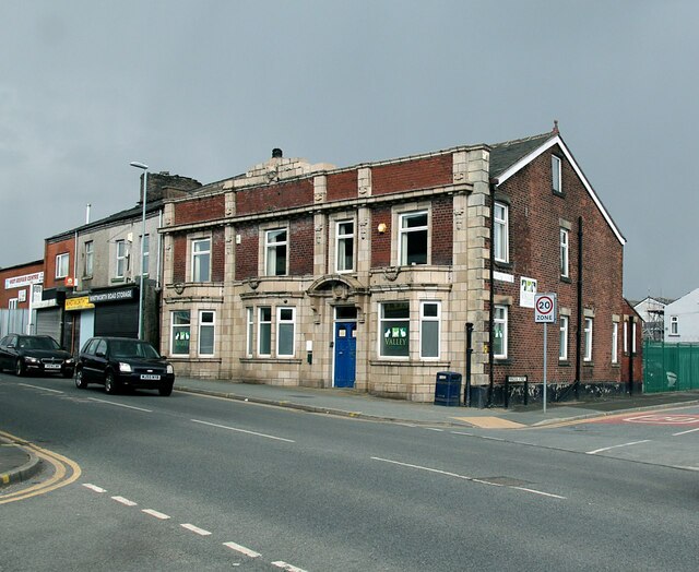
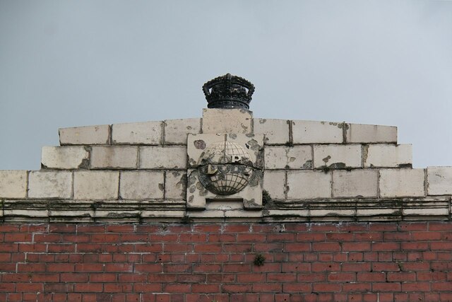
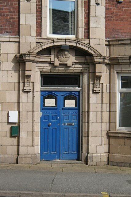
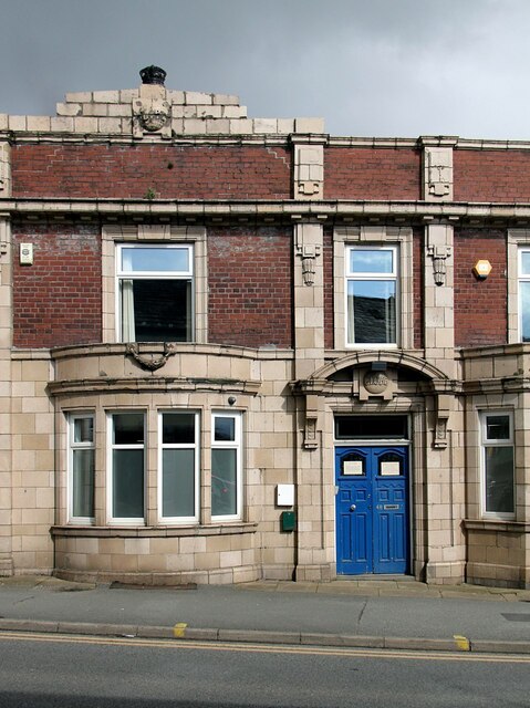
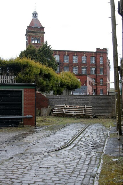
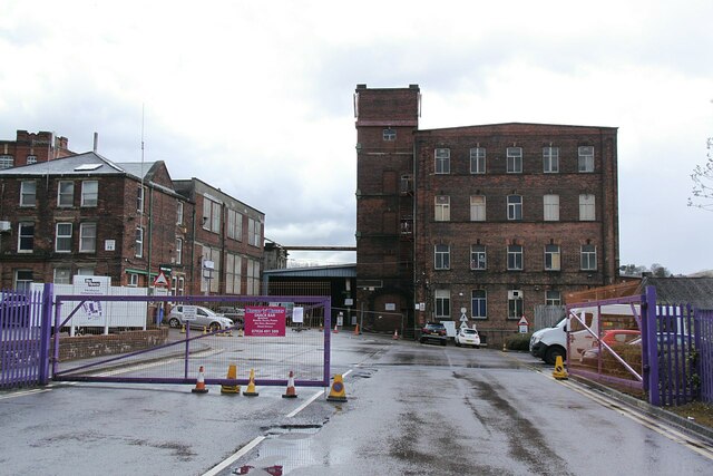
Newbold Brow Images

Images are sourced within 2km of 53.618667/-2.1361242 or Grid Reference SD9113. Thanks to Geograph Open Source API. All images are credited.

Rochdale Metro station and Mosque in Maclure Road
The Old Fire Station (Fireground Museum) The old Fire Brigade Station on Maclure Road dates from 1933 (<a href="https://www.geograph.org.uk/photo/3693544">SD8912 : Fire Brigade Station Detail</a>). It became redundant when new premises were built near Halifax Road. (<span class="nowrap"><a title="http://web.archive.org/web/20130716033038/http://www.manchesterfire.gov.uk/my_area/rochdale/rochdale_new_build.aspx" rel="nofollow ugc noopener" href="http://web.archive.org/web/20130716033038/http://www.manchesterfire.gov.uk/my_area/rochdale/rochdale_new_build.aspx">Archive Link</a><img style="margin-left:2px;" alt="External link" title="External link - shift click to open in new window" src="https://s1.geograph.org.uk/img/external.png" width="10" height="10"/></span>  Greater Manchester Fire and Rescue Services)

It is now the home of the Fireground museum <span class="nowrap"><a title="https://www.fireground.org.uk/" rel="nofollow ugc noopener" href="https://www.fireground.org.uk/">Link</a><img style="margin-left:2px;" alt="External link" title="External link - shift click to open in new window" src="https://s1.geograph.org.uk/img/external.png" width="10" height="10"/></span>
The Old Fire Station (Fireground Museum)
The old Fire Brigade Station on Maclure Road dates from 1933 (SD8912 : Fire Brigade Station Detail). It became redundant when new premises were built near Halifax Road. (Archive LinkExternal link Greater Manchester Fire and Rescue Services) It is now the home of the Fireground museum LinkExternal link
Rochdale Fire Station Hose Drying Tower The original tower at the fire station was built, not for practising but, for drying the hoses which would have rotted if put away wet.
Rochdale Fire Station Hose Drying Tower
The original tower at the fire station was built, not for practising but, for drying the hoses which would have rotted if put away wet.
Rochdale Fireground Museum The Fireground Museum is housed in the former fire station on Maclure Road in Rochdale. Twenty-five larger exhibits make up the museum’s appliance fleet, and this is supported by other items of firefighting equipment, uniforms, models, medals and insignia, paintings, curios and other objects. 

See the museum’s website (<span class="nowrap"><a title="https://www.fireground.org.uk/" rel="nofollow ugc noopener" href="https://www.fireground.org.uk/">Link</a><img style="margin-left:2px;" alt="External link" title="External link - shift click to open in new window" src="https://s1.geograph.org.uk/img/external.png" width="10" height="10"/></span> ) for more information.
Rochdale Fireground Museum
The Fireground Museum is housed in the former fire station on Maclure Road in Rochdale. Twenty-five larger exhibits make up the museum’s appliance fleet, and this is supported by other items of firefighting equipment, uniforms, models, medals and insignia, paintings, curios and other objects. See the museum’s website (LinkExternal link ) for more information.
Rochdale Fireground, Pump Street As well as the ‘appliance room’ with six full-size fire engines lined up, many of the museum’s objects are displayed in Pump Street, a recreated Victorian street complete with houses, shops, a police station and a fire station.
Rochdale Fireground, Pump Street
As well as the ‘appliance room’ with six full-size fire engines lined up, many of the museum’s objects are displayed in Pump Street, a recreated Victorian street complete with houses, shops, a police station and a fire station.
Fire Marks at Rochdale Fireground A small selection of insurance companies' fire marks <span class="nowrap"><a title="https://en.wikipedia.org/wiki/Fire_insurance_mark" rel="nofollow ugc noopener" href="https://en.wikipedia.org/wiki/Fire_insurance_mark">Link</a><img style="margin-left:2px;" alt="External link" title="External link - shift click to open in new window" src="https://s1.geograph.org.uk/img/external.png" width="10" height="10"/></span> displayed at the fireground museum inside the old Rochdale Fire Station.
Fire Marks at Rochdale Fireground
A small selection of insurance companies' fire marks LinkExternal link displayed at the fireground museum inside the old Rochdale Fire Station.
Cranberry Street, Rochdale Fireground As well as the Victorian Street (<a href="https://www.geograph.org.uk/photo/7143189">SD8912 : Rochdale Fireground, Pump Street</a>), the Fireground museum also contains this recreation of a war-time scene, "Cranberry Street" displaying objects relating to the Manchester Blitz <span class="nowrap"><a title="https://en.wikipedia.org/wiki/Manchester_Blitz" rel="nofollow ugc noopener" href="https://en.wikipedia.org/wiki/Manchester_Blitz">Link</a><img style="margin-left:2px;" alt="External link" title="External link - shift click to open in new window" src="https://s1.geograph.org.uk/img/external.png" width="10" height="10"/></span> of December 1940.
Cranberry Street, Rochdale Fireground
As well as the Victorian Street (SD8912 : Rochdale Fireground, Pump Street), the Fireground museum also contains this recreation of a war-time scene, "Cranberry Street" displaying objects relating to the Manchester Blitz LinkExternal link of December 1940.
Rochdale Fireground, The Appliance Room The Fireground Museum is housed in the former fire station on Maclure Road in Rochdale. Twenty-five larger exhibits make up the museum’s appliance fleet, and this is supported by other items of firefighting equipment, uniforms, models, medals and insignia, paintings, curios and other objects. 

See the museum’s website (<span class="nowrap"><a title="https://www.fireground.org.uk/" rel="nofollow ugc noopener" href="https://www.fireground.org.uk/">Link</a><img style="margin-left:2px;" alt="External link" title="External link - shift click to open in new window" src="https://s1.geograph.org.uk/img/external.png" width="10" height="10"/></span> ) for more information.
Rochdale Fireground, The Appliance Room
The Fireground Museum is housed in the former fire station on Maclure Road in Rochdale. Twenty-five larger exhibits make up the museum’s appliance fleet, and this is supported by other items of firefighting equipment, uniforms, models, medals and insignia, paintings, curios and other objects. See the museum’s website (LinkExternal link ) for more information.
The Appliance Room, Rochdale Fireground The Fireground Museum is housed in the former fire station on Maclure Road in Rochdale. Twenty-five larger exhibits make up the museum’s appliance fleet, and this is supported by other items of firefighting equipment, uniforms, models, medals and insignia, paintings, curios and other objects. 

See the museum’s website (<span class="nowrap"><a title="https://www.fireground.org.uk/" rel="nofollow ugc noopener" href="https://www.fireground.org.uk/">Link</a><img style="margin-left:2px;" alt="External link" title="External link - shift click to open in new window" src="https://s1.geograph.org.uk/img/external.png" width="10" height="10"/></span> ) for more information.
The Appliance Room, Rochdale Fireground
The Fireground Museum is housed in the former fire station on Maclure Road in Rochdale. Twenty-five larger exhibits make up the museum’s appliance fleet, and this is supported by other items of firefighting equipment, uniforms, models, medals and insignia, paintings, curios and other objects. See the museum’s website (LinkExternal link ) for more information.
Duke Street Mill, Rochdale Mid to late 19th century, with stone facades to Queen Street and Duke street, although the principal build material is brick.
Duke Street Mill, Rochdale
Mid to late 19th century, with stone facades to Queen Street and Duke street, although the principal build material is brick.
Duke Street Mill, Rochdale Mid to late 19th century, with stone facades to Queen Street and Duke street, although the principal build material is brick. The grey building is the former Mount Pleasant Inn. Between it and the main mill is the engine house for the mill, with a blocked tall round-headed window. This would probably have housed a beam engine.
Duke Street Mill, Rochdale
Mid to late 19th century, with stone facades to Queen Street and Duke street, although the principal build material is brick. The grey building is the former Mount Pleasant Inn. Between it and the main mill is the engine house for the mill, with a blocked tall round-headed window. This would probably have housed a beam engine.
The former Globe Inn, Whitworth Road, Rochdale One of the few local examples of early 20th century (?1920s) terracotta facading and decoration. Since 2014 in use as a veterinary surgery.
The former Globe Inn, Whitworth Road, Rochdale
One of the few local examples of early 20th century (?1920s) terracotta facading and decoration. Since 2014 in use as a veterinary surgery.
The former Globe Inn, Whitworth Road, Rochdale Terracotta pediment and inn name over the main entrance. See <a title="https://www.geograph.org.uk/photo/7147716" href="https://www.geograph.org.uk/photo/7147716">Link</a> for location.
The former Globe Inn, Whitworth Road, Rochdale
Terracotta pediment and inn name over the main entrance. See Link for location.
The former Globe Inn, Whitworth Road, Rochdale Terracotta 'Globe' sign and cast iron crown above the main front. The globe gives the impression of having been used for target practice! See <a title="https://www.geograph.org.uk/photo/7147716" href="https://www.geograph.org.uk/photo/7147716">Link</a> for location.
The former Globe Inn, Whitworth Road, Rochdale
Terracotta 'Globe' sign and cast iron crown above the main front. The globe gives the impression of having been used for target practice! See Link for location.
The former Globe Inn, Whitworth Road, Rochdale Former main entrance in terracotta. See <a title="https://www.geograph.org.uk/photo/7147716" href="https://www.geograph.org.uk/photo/7147716">Link</a> for location.
The former Globe Inn, Whitworth Road, Rochdale
Former main entrance in terracotta. See Link for location.
The former Globe Inn, Whitworth Road, Rochdale Part view of main front with terracotta detailing. See <a title="https://www.geograph.org.uk/photo/7147716" href="https://www.geograph.org.uk/photo/7147716">Link</a> for location.
The former Globe Inn, Whitworth Road, Rochdale
Part view of main front with terracotta detailing. See Link for location.
Fieldhouse Mills, Rochdale – 1 Former entrance off Fieldhouse Road. The rails are an unusual feature as they do not appear to any of the normal variety of rail profiles, and the curve is far too sharp even for a traditional 4-wheel wagon. Old OS maps do show a siding running through the site to this point. My best guess is that it was intended as a means of preventing wagons running away down the slope and out onto Fieldhouse Lane (behind the camera). At this time this was a normal road access into the mills and it would have been impossible to install a normal set of buffer stops as this would have blocked the roadway.
Fieldhouse Mills, Rochdale – 1
Former entrance off Fieldhouse Road. The rails are an unusual feature as they do not appear to any of the normal variety of rail profiles, and the curve is far too sharp even for a traditional 4-wheel wagon. Old OS maps do show a siding running through the site to this point. My best guess is that it was intended as a means of preventing wagons running away down the slope and out onto Fieldhouse Lane (behind the camera). At this time this was a normal road access into the mills and it would have been impossible to install a normal set of buffer stops as this would have blocked the roadway.
Fieldhouse Mills, Rochdale – 2 The modern entrance.

Fieldhouse Mills was a large carpet manufactory, now converted to a business park, with a mixture of retained and modern buildings.
Fieldhouse Mills, Rochdale – 2
The modern entrance. Fieldhouse Mills was a large carpet manufactory, now converted to a business park, with a mixture of retained and modern buildings.
Show me another place!

Newbold Brow is located at Grid Ref: SD9113 (Lat: 53.618667, Lng: -2.1361242)

Unitary Authority: Rochdale

Police Authority: Greater Manchester

What 3 Words

///planet.home.invent. Near Rochdale, Manchester

Related Wikis

Roch Valley Viaduct

Roch Valley Viaduct was a viaduct built in the 1860s in Rochdale, historically in Lancashire, now within Greater Manchester, that carried the Rochdale...

Stanney Brook

Stanney Brook is a watercourse in Greater Manchester, England. It originates in the Burnedge area of Shaw and Crompton, and flows through Milnrow into...

Hey Brook

Hey Brook is a watercourse in Rochdale, Greater Manchester and a tributary of the River Roch. It originates at the confluence of Buckley Brook and Syke...

Moss Brook

Moss Brook is a watercourse in Rochdale, Greater Manchester and a tributary of the River Roch. It originates in Newbold, and flows Northwards to join the...

Belfield, Greater Manchester

Belfield is an area within Rochdale, in Greater Manchester, England. It lies at the confluence of the River Beal and River Roch, 1.3 miles (2.1 km) east...
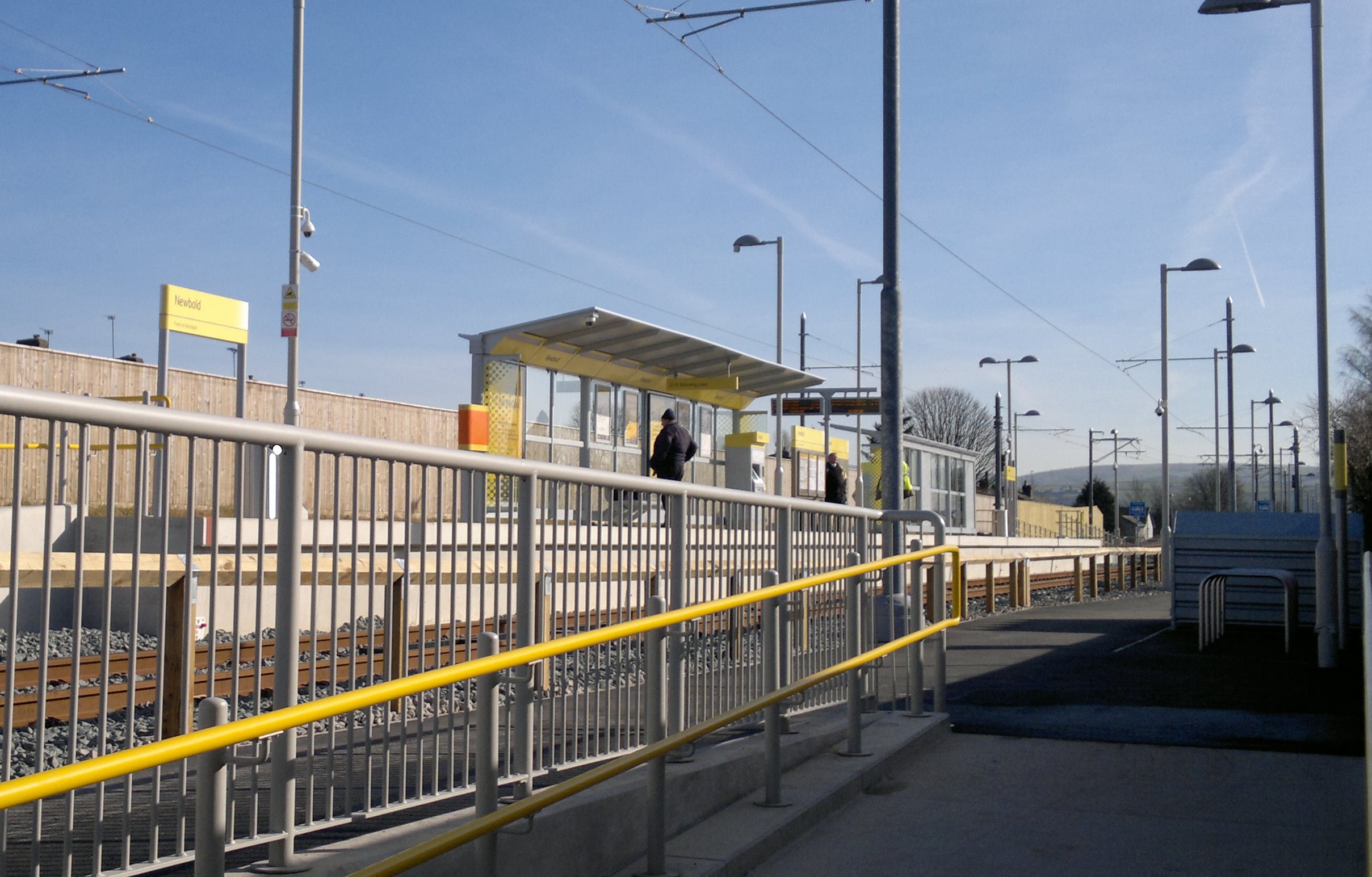
Newbold tram stop

Newbold is a tram stop on the Oldham and Rochdale Line (ORL) of Greater Manchester's Metrolink network. It is located in the Newbold area of Rochdale,...

Milnrow Road

Milnrow Road was a cricket ground in Rochdale, Lancashire. The first recorded match on the ground was in 1868, when the Gentlemen of Rochdale played Australian...

Athletic Grounds, Rochdale

The Athletic Grounds was a stadium in Rochdale, Greater Manchester, England. It was the home of Rochdale Hornets Rugby League Football Club for over 90...

Nearby Amenities

Located within 500m of 53.618667,-2.1361242
Bus Stop
Albert Royds Street/The Mayfield
Bus: yes
Naptan AtcoCode: 1800NE00561
Naptan Bearing: N
Naptan CommonName: Albert Royds Street/The Mayfield
Naptan Indicator: Mayfield Hotel
Naptan Landmark: CO-OP STORE
Naptan NaptanCode: mandwagj
Naptan PlusbusZoneRef: MNCRPIC
Naptan ShortCommonName: The Mayfield
Naptan Street: Albert Royds Street
Naptan Verified: no
Network: TfGM
Public Transport: platform
Source: naptan_import
Lat/Long: 53.6219777/-2.132533
Bus Stop
Milnrow Road/Rosefield Crescent
Bench: no
Bin: no
Bus: yes
Local Ref: A
Naptan AtcoCode: 1800NE04371
Naptan Bearing: NE
Naptan CommonName: Milnrow Road/Rosefield Crescent
Naptan Indicator: O/s House 185
Naptan Landmark: HOUSE 185
Naptan NaptanCode: mantgagm
Naptan Notes: INDICATOR AMENDED
Naptan PlusbusZoneRef: MNCRPIC
Naptan ShortCommonName: Rosefield Cres
Naptan Street: MILNROW ROAD
Naptan Verified: no
Network: TfGM
Public Transport: platform
Shelter: no
Source: naptan_import
Lat/Long: 53.6146909/-2.1379369
Bus Stop
Milnrow Road/Kingsway
Bench: no
Bus: yes
Naptan AtcoCode: 1800NE20881
Naptan Bearing: E
Naptan CommonName: Milnrow Road/Kingsway
Naptan Indicator: Nr Open Land
Naptan Landmark: NR OPEN LAND
Naptan NaptanCode: mangagdt
Naptan PlusbusZoneRef: MNCRPIC
Naptan ShortCommonName: Kingsway
Naptan Street: MILNROW ROAD
Naptan Verified: no
Network: TfGM
Public Transport: platform
Shelter: no
Source: naptan_import
Lat/Long: 53.6162277/-2.1301265
Bus Stop
Milnrow Road/Kingsway
Bench: no
Bus: yes
Naptan AtcoCode: 1800NE20891
Naptan Bearing: W
Naptan CommonName: Milnrow Road/Kingsway
Naptan Indicator: Op House 331
Naptan Landmark: CHURCH
Naptan NaptanCode: mangagdw
Naptan PlusbusZoneRef: MNCRPIC
Naptan ShortCommonName: Kingsway
Naptan Street: MILNROW ROAD
Naptan Verified: no
Network: TfGM
Public Transport: platform
Shelter: yes
Source: naptan_import
Lat/Long: 53.6160562/-2.130776
Bus Stop
Milnrow Road/Fox Inn
Bus: yes
Naptan AtcoCode: 1800NE20911
Naptan Bearing: W
Naptan CommonName: Milnrow Road/Fox Inn
Naptan Indicator: Newsagents
Naptan Landmark: SANDWICH BAR
Naptan NaptanCode: mangagja
Naptan PlusbusZoneRef: MNCRPIC
Naptan ShortCommonName: Fox Inn
Naptan Street: MILNROW ROAD
Naptan Verified: no
Network: TfGM
Public Transport: platform
Source: naptan_import
Lat/Long: 53.6156392/-2.1340097
Bus Stop
Milnrow Road/Fox Inn
Bus: yes
Naptan AtcoCode: 1800NE20921
Naptan Bearing: E
Naptan CommonName: Milnrow Road/Fox Inn
Naptan Indicator: Newbold Tyres
Naptan Landmark: NEWBOLD TYRES
Naptan NaptanCode: mangagjd
Naptan PlusbusZoneRef: MNCRPIC
Naptan ShortCommonName: Fox Inn
Naptan Street: MILNROW ROAD
Naptan Verified: no
Network: TfGM
Public Transport: platform
Source: naptan_import
Lat/Long: 53.6156023/-2.1347956
Bus Stop
Milnrow Road/Marshall Street
Bus: yes
Naptan AtcoCode: 1800NE20931
Naptan Bearing: W
Naptan CommonName: Milnrow Road/Marshall Street
Naptan Indicator: House 212
Naptan Landmark: HOUSE 212
Naptan NaptanCode: mangagjg
Naptan PlusbusZoneRef: MNCRPIC
Naptan ShortCommonName: Marshall Street
Naptan Street: MILNROW ROAD
Naptan Verified: no
Network: TfGM
Public Transport: platform
Source: naptan_import
Lat/Long: 53.615025/-2.1366531
Bus Stop
Belfield Road/Beswicke Royd Street
Bus: yes
Naptan AtcoCode: 1800NE23791
Naptan Bearing: W
Naptan CommonName: Belfield Road/Beswicke Royd Street
Naptan Indicator: Opp House 71
Naptan Landmark: HOUSE 40
Naptan NaptanCode: mangagwg
Naptan Notes: INDICATOR AMENDED
Naptan PlusbusZoneRef: MNCRPIC
Naptan ShortCommonName: Beswicke Royd St
Naptan Street: BELFIELD ROAD
Naptan Verified: no
Network: TfGM
Public Transport: platform
Source: naptan_import
Lat/Long: 53.6225382/-2.1376299
Bus Stop
Belfield Road/Beswicke Royd Street
Bus: yes
Naptan AtcoCode: 1800NE23801
Naptan Bearing: E
Naptan CommonName: Belfield Road/Beswicke Royd Street
Naptan Indicator: O/s House 67
Naptan Landmark: HOUSE 69
Naptan NaptanCode: mangagwj
Naptan PlusbusZoneRef: MNCRPIC
Naptan ShortCommonName: Beswicke Royd St
Naptan Street: BELFIELD ROAD
Naptan Verified: no
Network: TfGM
Public Transport: platform
Source: naptan_import
Lat/Long: 53.6226458/-2.1378721
Bus Stop
Reservoir Street/Belfield Road
Bus: yes
Naptan AtcoCode: 1800NE23821
Naptan Bearing: E
Naptan CommonName: Reservoir Street/Belfield Road
Naptan Indicator: O/s House 7
Naptan Landmark: HOUSE 9
Naptan NaptanCode: mangagwp
Naptan PlusbusZoneRef: MNCRPIC
Naptan ShortCommonName: Belfield Road
Naptan Street: Reservoir Street
Naptan Verified: no
Network: TfGM
Public Transport: platform
Source: naptan_import
Lat/Long: 53.6223254/-2.1351194
Bus Stop
Reservoir Street/Albert Royds Street
Bus: yes
Naptan AtcoCode: 1800NE23831
Naptan Bearing: W
Naptan CommonName: Reservoir Street/Albert Royds Street
Naptan Indicator: O/s House 46
Naptan Landmark: HOUSE 46
Naptan NaptanCode: mangagwt
Naptan PlusbusZoneRef: MNCRPIC
Naptan ShortCommonName: Albert Royds St
Naptan Street: Reservoir Street
Naptan Verified: no
Network: TfGM
Public Transport: platform
Source: naptan_import
Lat/Long: 53.6226952/-2.1339867
Bus Stop
Albert Royds Street/Reservoir Street
Bus: yes
Naptan AtcoCode: 1800NE23861
Naptan Bearing: S
Naptan CommonName: Albert Royds Street/Reservoir Street
Naptan Indicator: O/s House 253
Naptan Landmark: HOUSE 253
Naptan NaptanCode: mangajad
Naptan PlusbusZoneRef: MNCRPIC
Naptan ShortCommonName: Reservoir Street
Naptan Street: Albert Royds Street
Naptan Verified: no
Network: TfGM
Public Transport: platform
Source: naptan_import
Lat/Long: 53.6227231/-2.1331552
Bus Stop
Albert Royds Street/Bellshill Crescent
Bus: yes
Naptan AtcoCode: 1800NE25941
Naptan Bearing: S
Naptan CommonName: Albert Royds Street/Bellshill Crescent
Naptan Indicator: O/s House 285
Naptan Landmark: HOUSE 285
Naptan NaptanCode: mangatjg
Naptan PlusbusZoneRef: MNCRPIC
Naptan ShortCommonName: Bellshill Cres
Naptan Street: Albert Royds Street
Naptan Verified: no
Network: TfGM
Public Transport: platform
Source: naptan_import
Lat/Long: 53.6214305/-2.1315788
Bus Stop
Albert Royds Street/Firgrove Avenue
Bench: no
Bin: no
Bus: yes
Naptan AtcoCode: 1800NE25951
Naptan Bearing: S
Naptan CommonName: Albert Royds Street/Firgrove Avenue
Naptan Indicator: O/s House 337
Naptan Landmark: HOUSE 337
Naptan NaptanCode: mangatjm
Naptan PlusbusZoneRef: MNCRPIC
Naptan ShortCommonName: Firgrove Avenue
Naptan Street: Albert Royds Street
Naptan Verified: no
Network: TfGM
Public Transport: platform
Shelter: no
Source: naptan_import
Lat/Long: 53.6188628/-2.1287891
Bus Stop
Albert Royds Street/Firgrove Avenue
Bench: no
Bin: no
Bus: yes
Naptan AtcoCode: 1800NE25961
Naptan Bearing: N
Naptan CommonName: Albert Royds Street/Firgrove Avenue
Naptan Indicator: O/s House 340
Naptan Landmark: HOUSE 340
Naptan NaptanCode: mangatjp
Naptan PlusbusZoneRef: MNCRPIC
Naptan ShortCommonName: Firgrove Avenue
Naptan Street: Albert Royds Street
Naptan Verified: no
Network: TfGM
Public Transport: platform
Shelter: no
Source: naptan_import
Lat/Long: 53.6193385/-2.1293801
Bus Stop
Albert Royds Street/St Ann's Road
Bus: yes
Naptan AtcoCode: 1800NE25981
Naptan Bearing: N
Naptan CommonName: Albert Royds Street/St Ann's Road
Naptan Indicator: O/s House 376
Naptan Landmark: HOUSE 376
Naptan NaptanCode: mangatjw
Naptan PlusbusZoneRef: MNCRPIC
Naptan ShortCommonName: St Ann's Road
Naptan Street: Albert Royds Street
Naptan Verified: no
Network: TfGM
Public Transport: platform
Source: naptan_import
Lat/Long: 53.6177122/-2.1288612
Turning Circle
Lat/Long: 53.6184848/-2.1305692
Turning Circle
Lat/Long: 53.6150842/-2.1319821
Barrier: cycle_barrier
Lat/Long: 53.6183625/-2.1394281
Turning Circle
Lat/Long: 53.6192707/-2.1362176
Post Office
Source: OS_OpenData_StreetView
Lat/Long: 53.6206528/-2.1325723
Barrier: bollard
Motor Vehicle: no
Lat/Long: 53.619898/-2.1424386
Barrier: bollard
Motor Vehicle: no
Lat/Long: 53.6198077/-2.1422533
Addr Housenumber: 212
Source: Bing
Lat/Long: 53.6149274/-2.1365301
Newbold Brow
Is In: Rochdale, Greater Manchester, England, UK
Place: suburb
Source: OS-OpenData_StreetView
Lat/Long: 53.6206782/-2.1363886
Addr Housenumber: 340
Addr Street: Albert Royds Street
Source: Naptan
Lat/Long: 53.6192613/-2.129452
Go Local
Addr Housename: Belfield Hall
Addr Postcode: OL16 5AA
Addr Street: Albert Royds Street
Addr Unit: F
Brand: Go Local
Brand Wikidata: Q120634011
Shop: convenience
Source: survey
Source Addr: FHRS Open Data
Lat/Long: 53.6196145/-2.1299909
Addr Housenumber: 12
Addr Street: Reservoir Street
Source: Naptan
Lat/Long: 53.6220755/-2.1352264
Addr Housenumber: 46
Source: Naptan
Lat/Long: 53.6226006/-2.1338853
Addr Housenumber: 7
Addr Street: Reservoir Street
Source: Naptan
Lat/Long: 53.6223873/-2.1351781
Addr Housenumber: 337
Addr Street: Albert Royds Street
Source: Naptan
Lat/Long: 53.6188938/-2.1286019
Addr Housenumber: 376
Addr Street: Albert Royds Street
Source: Naptan
Lat/Long: 53.6176845/-2.1290471
Addr Housenumber: 285
Addr Street: Albert Royds Street
Source: Naptan
Lat/Long: 53.6215028/-2.1314713
Addr City: Rochdale
Addr Housenumber: 237
Addr Postcode: OL16 5AS
Addr Street: Milnrow Road
Old Amenity: pub
Old Name: Fox Inn
Source: Naptan
Lat/Long: 53.6154768/-2.1355619
Post Box
Source: survey
Lat/Long: 53.6152969/-2.1355368
Barrier: bollard
Motor Vehicle: no
Lat/Long: 53.6203727/-2.1428633
Barrier: bollard
Motor Vehicle: no
Lat/Long: 53.6203813/-2.1430157
Crossing
Crossing: traffic_signals
Crossing Ref: pelican
Kerb: lowered
Tactile Paving: yes
Lat/Long: 53.6157138/-2.1337372
Generator Method: photovoltaic
Generator Output Electricity: yes
Generator Source: solar
Generator Type: solar_photovoltaic_panel
Location: roof
Power: generator
Lat/Long: 53.6197372/-2.1315247
Generator Method: photovoltaic
Generator Output Electricity: yes
Generator Source: solar
Generator Type: solar_photovoltaic_panel
Location: roof
Power: generator
Lat/Long: 53.6208611/-2.1324053
Generator Method: photovoltaic
Generator Output Electricity: yes
Generator Source: solar
Generator Type: solar_photovoltaic_panel
Location: roof
Power: generator
Lat/Long: 53.6152267/-2.1333649
Generator Method: photovoltaic
Generator Output Electricity: yes
Generator Source: solar
Generator Type: solar_photovoltaic_panel
Location: roof
Power: generator
Lat/Long: 53.6152435/-2.1332388
Generator Method: photovoltaic
Generator Output Electricity: yes
Generator Source: solar
Generator Type: solar_photovoltaic_panel
Location: roof
Power: generator
Lat/Long: 53.6172197/-2.1377672
Generator Method: photovoltaic
Generator Output Electricity: yes
Generator Source: solar
Generator Type: solar_photovoltaic_panel
Location: roof
Power: generator
Lat/Long: 53.6177495/-2.1380515
Generator Method: photovoltaic
Generator Output Electricity: yes
Generator Source: solar
Generator Type: solar_photovoltaic_panel
Location: roof
Power: generator
Lat/Long: 53.6181695/-2.1381909
Generator Method: photovoltaic
Generator Output Electricity: yes
Generator Source: solar
Generator Type: solar_photovoltaic_panel
Location: roof
Power: generator
Lat/Long: 53.6185004/-2.1386362
Generator Method: photovoltaic
Generator Output Electricity: yes
Generator Source: solar
Generator Type: solar_photovoltaic_panel
Location: roof
Power: generator
Lat/Long: 53.6192418/-2.1371985
Generator Method: photovoltaic
Generator Output Electricity: yes
Generator Source: solar
Generator Type: solar_photovoltaic_panel
Location: roof
Power: generator
Lat/Long: 53.6193993/-2.1381722
Generator Method: photovoltaic
Generator Output Electricity: yes
Generator Source: solar
Generator Type: solar_photovoltaic_panel
Location: roof
Power: generator
Lat/Long: 53.6186181/-2.1388776
Traffic Signals
Traffic Signals: signal
Traffic Signals Direction: backward
Lat/Long: 53.6165754/-2.1367451
Traffic Signals
Traffic Signals: signal
Traffic Signals Direction: forward
Lat/Long: 53.6163986/-2.1365667
Bench
Lat/Long: 53.6187078/-2.131597
Bench
Lat/Long: 53.6180997/-2.1308977
Barrier: bollard
Lat/Long: 53.6172922/-2.1362982
Crossing
Crossing: marked
Lat/Long: 53.6220068/-2.1403978
Generator Method: photovoltaic
Generator Output Electricity: yes
Generator Source: solar
Generator Type: solar_photovoltaic_panel
Location: roof
Power: generator
Lat/Long: 53.6153479/-2.1339655
Generator Method: photovoltaic
Generator Output Electricity: yes
Generator Source: solar
Generator Type: solar_photovoltaic_panel
Location: roof
Power: generator
Lat/Long: 53.6153941/-2.1339991
Barrier: cycle_barrier
Bicycle: yes
Foot: yes
Lat/Long: 53.6207762/-2.1372668
Barrier: cycle_barrier
Bicycle: yes
Foot: yes
Lat/Long: 53.6207923/-2.1371006
Barrier: bollard
Motor Vehicle: no
Lat/Long: 53.6206764/-2.140782
Barrier: block
Bicycle: yes
Foot: yes
Material: stone
Motor Vehicle: no
Lat/Long: 53.6184447/-2.1338824
Barrier: cycle_barrier
Bicycle: yes
Foot: yes
Horse: no
Lat/Long: 53.6187428/-2.1338633
Newbold Tyres
Addr Housename: Belfield Garage
Addr Postcode: OL16 5AS
Addr Street: Milnrow Road
Opening Hours: Mo-Fr 08:30-17:00; Sa 08:30-13:00
Phone: +44 1706 353144
Service Vehicle Tyres: yes
Shop: car_repair
Website: https://www.newboldtyres.com
Lat/Long: 53.6157617/-2.1349307
Newbold
Is In: Rochdale, Greater Manchester, England, UK
Place: suburb
Source: OS-OpenData_StreetView
Lat/Long: 53.6154608/-2.1336912
The data included in this document is from www.openstreetmap.org. The data is made available under ODbL.

Have you been to Newbold Brow?

Leave your review of Newbold Brow below (or comments, questions and feedback).