Newbigging

Settlement in Midlothian

Scotland

Newbigging

Young trees on King's Seat
Young trees on King's Seat Credit: Richard Webb

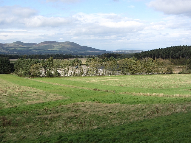
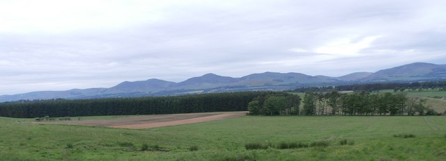
Newbigging is a small village located in the county of Midlothian, in the central region of Scotland. Situated about 9 miles southeast of the capital city of Edinburgh, it is nestled in a picturesque rural setting surrounded by beautiful countryside and rolling hills.

The village of Newbigging has a population of around 500 residents and is known for its tranquil and idyllic atmosphere. It boasts a close-knit community where neighbors often gather at the local pub or community center to socialize and participate in various activities and events.

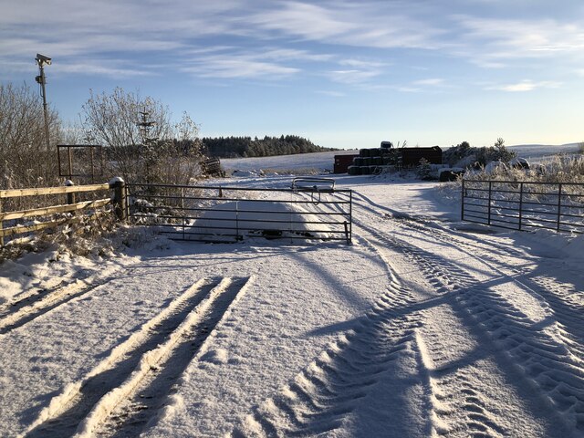
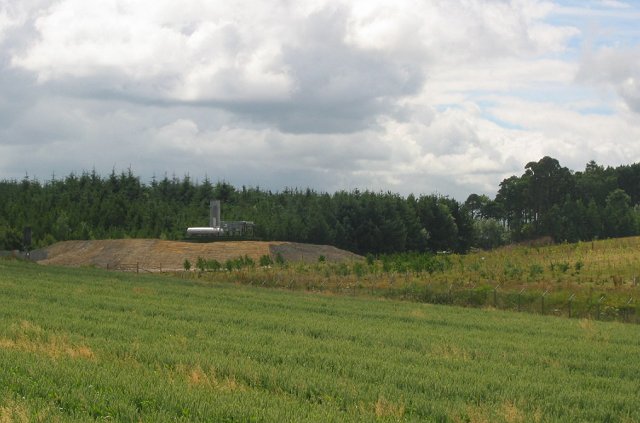
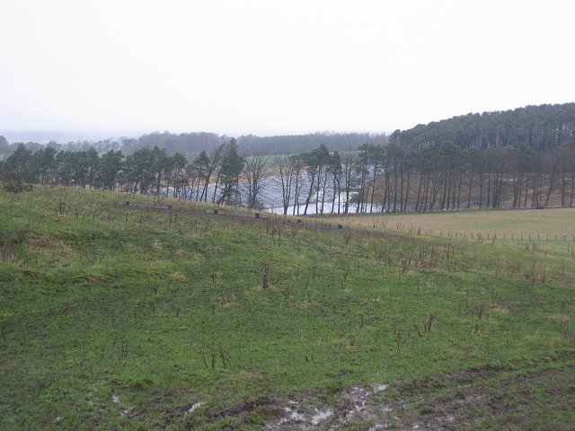
The village is primarily residential, with a mix of traditional stone cottages and more modern housing developments. Many of the houses have well-maintained gardens and are adorned with colorful flowers during the summer months. The area is also home to a number of farms and agricultural fields, contributing to the rural charm of the village.

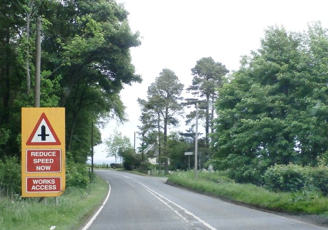
Although small, Newbigging offers a range of amenities and services to its residents. These include a primary school, a post office, a convenience store, and a village hall. The village is well-connected to nearby towns and cities through a network of roads, making it accessible for commuting or traveling.

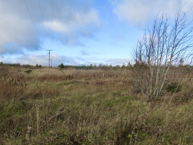
Nature lovers will appreciate the village's proximity to several outdoor attractions. There are numerous walking and cycling trails in the surrounding countryside, allowing residents to explore the natural beauty of the area. Additionally, the nearby Pentland Hills Regional Park offers opportunities for hiking, wildlife spotting, and enjoying panoramic views of the landscape.

In summary, Newbigging is a charming and peaceful village in Midlothian, Scotland. With its picturesque surroundings, strong community spirit, and convenient amenities, it provides residents with a delightful place to call home.

If you have any feedback on the listing, please let us know in the comments section below.
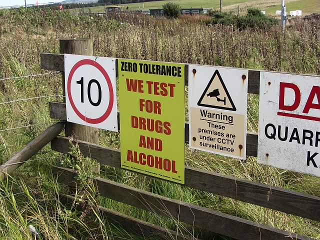
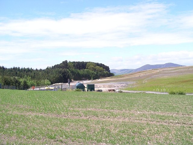
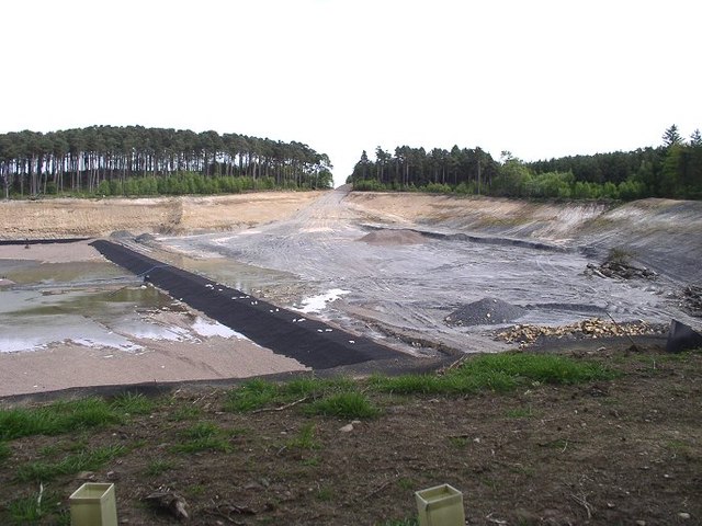
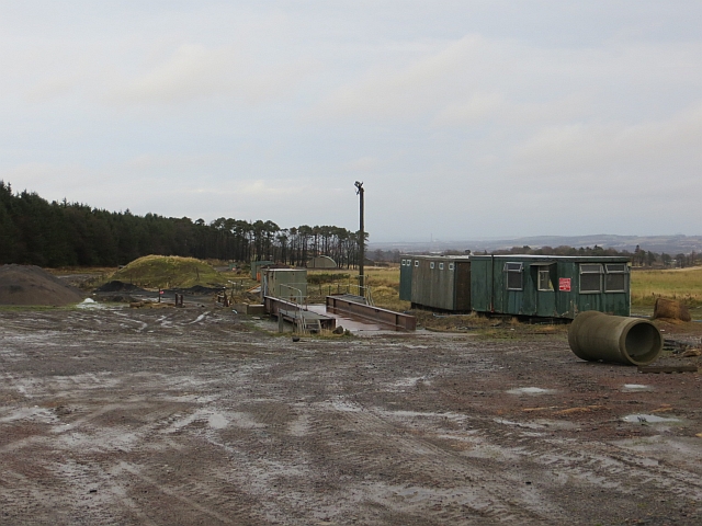
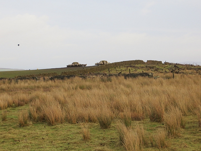
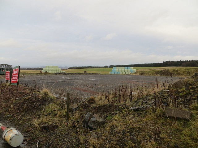
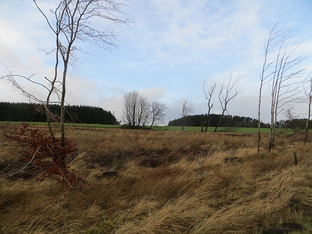
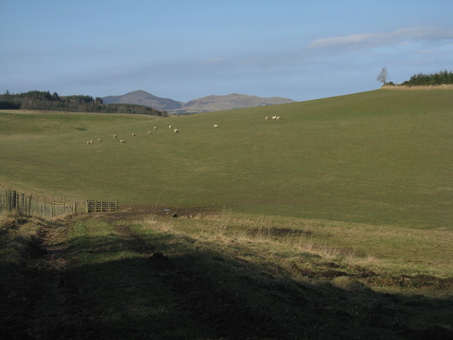
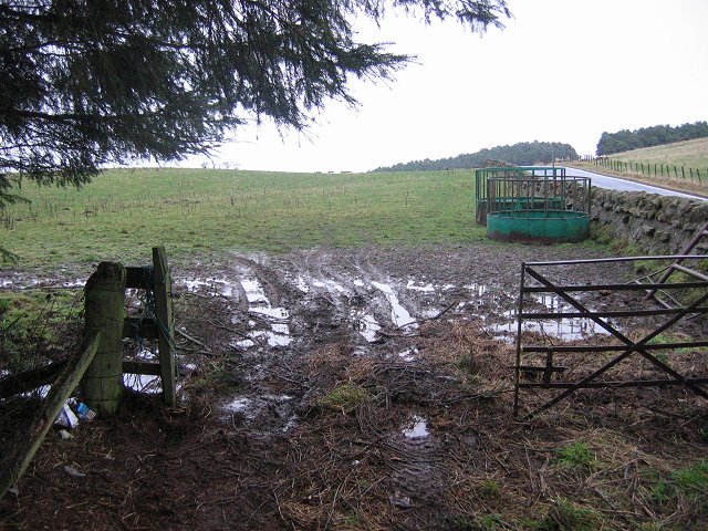
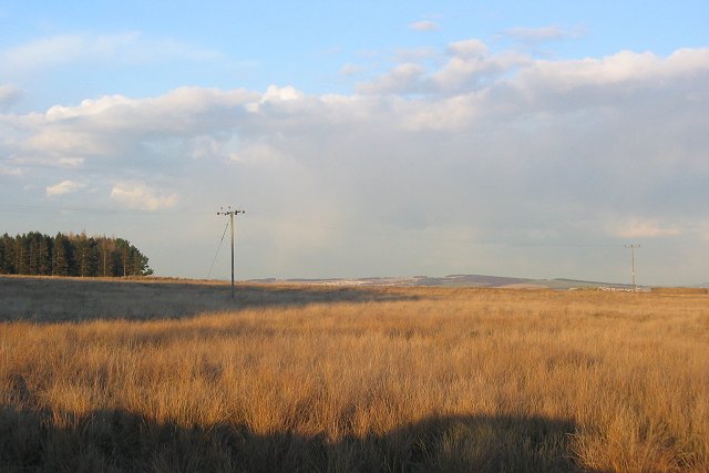
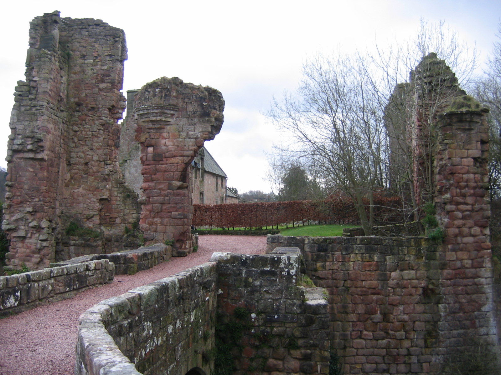
Newbigging Images

Images are sourced within 2km of 55.83145/-3.1557033 or Grid Reference NT2760. Thanks to Geograph Open Source API. All images are credited.

Young trees on King's Seat
Opencast mining site Some years after the coal mine closed, the area is used to store silage and machinery.
Opencast mining site
Some years after the coal mine closed, the area is used to store silage and machinery.
Landfill, Drummond Moor Beyond grass fields is a lined pit, now being filled with rubbish.
Landfill, Drummond Moor
Beyond grass fields is a lined pit, now being filled with rubbish.
Drummond Moor landfill entrance Entrance to a landfill site.
Drummond Moor landfill entrance
Entrance to a landfill site.
Entrance, Howgate open cast The coal mine here is being reclaimed.
Entrance, Howgate open cast
The coal mine here is being reclaimed.
Landfill gas power plant, Drummond Moor Drummond Moor operated as a landfill site for many years, at what had originally been a sand quarry. The foreground is mounded domestic rubbish which has been capped and planted. Pipes have also been inserted to capture the methane released by rotting organic material. This is used to fuel a generator in the middle of the picture. A high voltage power line was laid under the road and through Roslin Glen to carry the electricity away.
Landfill gas power plant, Drummond Moor
Drummond Moor operated as a landfill site for many years, at what had originally been a sand quarry. The foreground is mounded domestic rubbish which has been capped and planted. Pipes have also been inserted to capture the methane released by rotting organic material. This is used to fuel a generator in the middle of the picture. A high voltage power line was laid under the road and through Roslin Glen to carry the electricity away.
Landfill site preparation, Drummond Moor This is the last section of the Drummond Moor landfill site prepared to receive waste. The membrane is intended to prevent leakage of liquid leachate into the groundwater. This picture was taken in 2004; the site had closed by 2012.
Landfill site preparation, Drummond Moor
This is the last section of the Drummond Moor landfill site prepared to receive waste. The membrane is intended to prevent leakage of liquid leachate into the groundwater. This picture was taken in 2004; the site had closed by 2012.
Howgate open cast Largely restored, a few sheds remain.
Howgate open cast
Largely restored, a few sheds remain.
Cauldhall Moor Sheep on winter fodder at the site of a proposed open cast mine. A conifer plantation has been cut down.
Cauldhall Moor
Sheep on winter fodder at the site of a proposed open cast mine. A conifer plantation has been cut down.
Howgate open cast The hard standing of the now reclaimed surface mine is being used as a silage store.
Howgate open cast
The hard standing of the now reclaimed surface mine is being used as a silage store.
Felled woodland The conifer plantation on King's Seat was cut down in 2009.
Felled woodland
The conifer plantation on King's Seat was cut down in 2009.
Pasture on Edgelaw Moor Looking west towards the Pentland Hills, 10-11km away.
Pasture on Edgelaw Moor
Looking west towards the Pentland Hills, 10-11km away.
Woodland near Drummond Moor
The A6094 at New Bigging Hill
Reinstated opencast May have been used as a landfill, methane burning apparatus visible. The site is being returned to a mix of pasture and strips of woodland. Meanwhile the mining has moved east across the road.
Reinstated opencast
May have been used as a landfill, methane burning apparatus visible. The site is being returned to a mix of pasture and strips of woodland. Meanwhile the mining has moved east across the road.
Drummond Moor. Flooded excavations. There has been a lot of holediggery here over the years, there is an active opencast coal mine nearby. The OS has this marked as a clay pit.
-----
2011
The hole shown here is being filled with rubbish as a landfill site.
Drummond Moor.
Flooded excavations. There has been a lot of holediggery here over the years, there is an active opencast coal mine nearby. The OS has this marked as a clay pit. ----- 2011 The hole shown here is being filled with rubbish as a landfill site.
Wet gateway, Upper Firth. Deep in winter and the land is rather waterlogged. Just as well the cattle are inside, and not feeding  here. The road is the A6094 from Dalkeith to Leadburn.
Wet gateway, Upper Firth.
Deep in winter and the land is rather waterlogged. Just as well the cattle are inside, and not feeding here. The road is the A6094 from Dalkeith to Leadburn.
Cauldhall Moor Looking east across a big area of rough grazing. A passing snowshower out to sea in the distance.
Cauldhall Moor
Looking east across a big area of rough grazing. A passing snowshower out to sea in the distance.
Show me another place!

Newbigging is located at Grid Ref: NT2760 (Lat: 55.83145, Lng: -3.1557033)

Unitary Authority: Midlothian

Police Authority: The Lothians and Scottish Borders

What 3 Words

///sliders.author.nudge. Near Rosewell, Midlothian

Nearby Locations

Newbigging

Related Wikis

Rosslynlee Hospital

Rosslynlee Hospital was a mental health facility near Roslin, Midlothian in Scotland. The main hospital building is a Grade C listed building. Rosslynlee...

Rosslynlee Hospital Halt railway station

Rosslynlee Hospital Halt railway station that served Rosslynlee Hospital, Midlothian, Scotland from 1958 to 1962 on the Peebles Railway. == History... ==

Rosslynlee railway station

Rosslynlee railway station served the village of Roslin, Midlothian, Scotland from 1855 to 1962 on the Peebles Railway. == History == The station opened...

Rosslyn Castle railway station

Rosslyn Castle railway station served the village of Roslin, Midlothian, Scotland from 1872 to 1959 on the Penicuik Railway. == History == The station...

Oldwoodhouselee Castle

Old Woodhouselee Castle was a 16th-century tower house, about 1.5 miles (2.4 km) north east of Penicuik, Midlothian, Scotland, south of the river North...

Woodhouselee

Woodhouselee is an estate in Midlothian in the parish of Glencorse. It has been owned by gentry including William Tytler and Alexander Fraser Tytler....

Roslin Castle

Roslin Castle (sometimes spelt Rosslyn) is a partially ruined castle near the village of Roslin in Midlothian, Scotland. It is located around 9 mi (14...

Roslin Glen Country Park

Roslin Glen Country Park is a wooded glen in the North Esk Valley, near the village of Roslin in Scotland. It contains walks with several places of interest...

Nearby Amenities

Located within 500m of 55.83145,-3.1557033
Newbigging
Place: locality
Lat/Long: 55.831291/-3.155608
Power: pole
Lat/Long: 55.8314899/-3.1548307
Power: pole
Lat/Long: 55.8320317/-3.1539473
Power: pole
Lat/Long: 55.8325899/-3.1530284
Power: pole
Lat/Long: 55.8325151/-3.1522949
Power: pole
Lat/Long: 55.8322787/-3.1514927
Power: pole
Lat/Long: 55.8319498/-3.1504467
Power: pole
Lat/Long: 55.8315929/-3.149209
Power: pole
Lat/Long: 55.8313214/-3.1479567
The data included in this document is from www.openstreetmap.org. The data is made available under ODbL.

Have you been to Newbigging?

Leave your review of Newbigging below (or comments, questions and feedback).