New Zealand
Settlement in Derbyshire
England
New Zealand
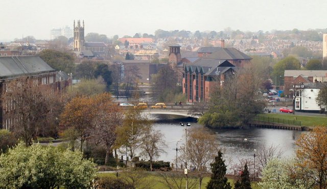
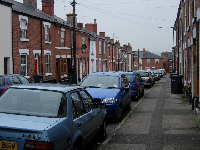
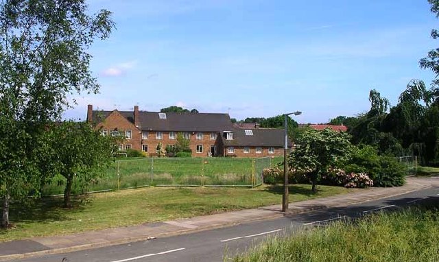
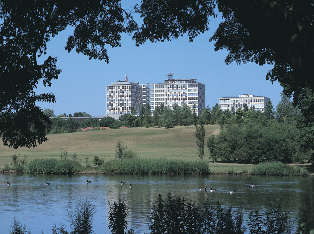
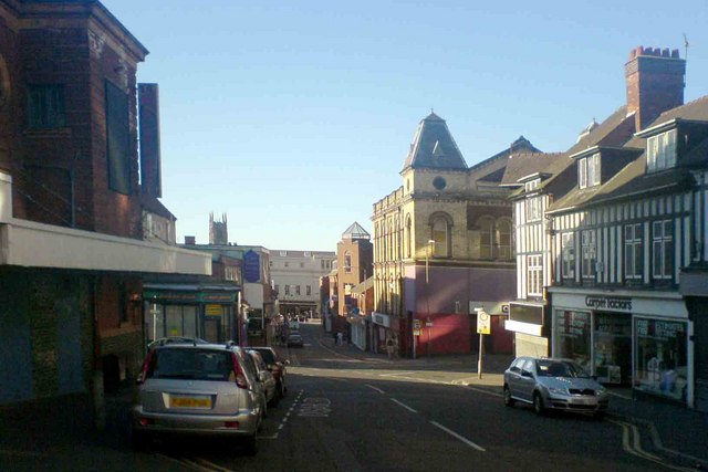
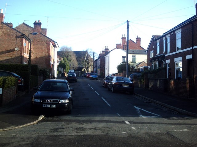
New Zealand, Derbyshire is a small village located in the East Midlands region of England. Situated in the Amber Valley district, it lies about 13 kilometers north of Derby, the county town of Derbyshire. With a population of around 1,400 people, New Zealand is a close-knit community known for its picturesque surroundings and tranquil atmosphere.
The village is named after the country of New Zealand due to the presence of coal mines in the area that were owned by a New Zealand company in the late 19th century. Today, the coal mines are no longer operational, and the village has transitioned into a residential area with a mix of traditional and modern housing.
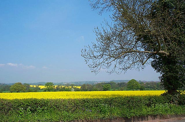
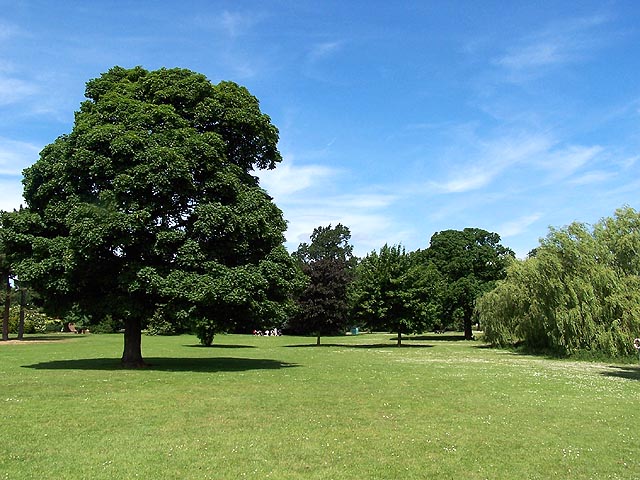
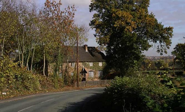
New Zealand is surrounded by rolling countryside and offers stunning views of the nearby Peak District National Park, a popular destination for outdoor enthusiasts. The area boasts numerous walking trails and opportunities for nature lovers to explore the diverse wildlife and landscapes.
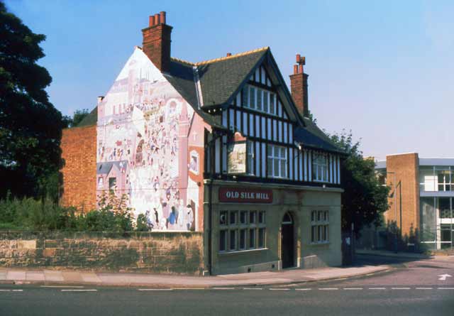
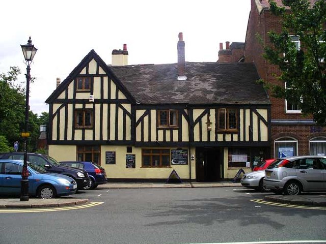
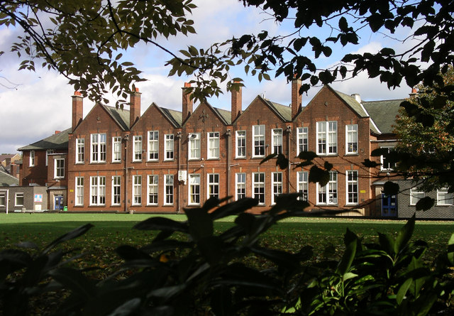
In terms of amenities, New Zealand is home to a primary school, a village hall, and a local pub, providing a sense of community for its residents. The village is also well-connected, with regular bus services to nearby towns and cities.
Overall, New Zealand, Derbyshire offers a peaceful retreat from the hustle and bustle of city life, with its idyllic location and countryside charm attracting those seeking a quiet and scenic place to call home.
If you have any feedback on the listing, please let us know in the comments section below.
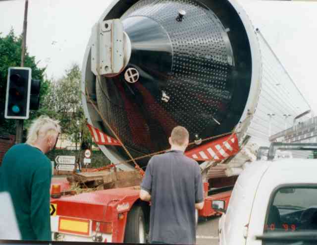
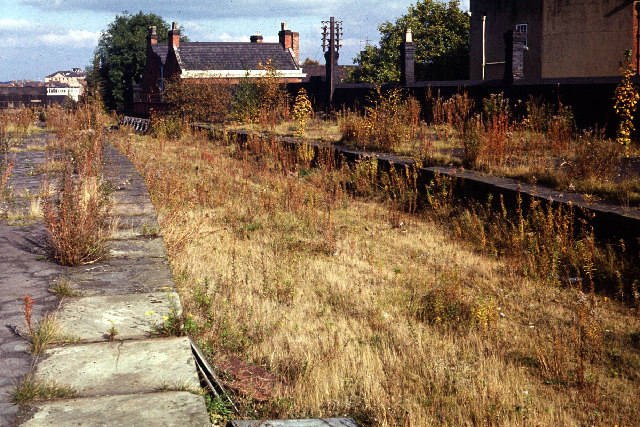
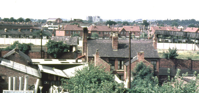
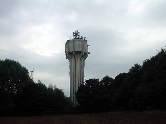
New Zealand Images
Images are sourced within 2km of 52.922937/-1.5045364 or Grid Reference SK3336. Thanks to Geograph Open Source API. All images are credited.
New Zealand is located at Grid Ref: SK3336 (Lat: 52.922937, Lng: -1.5045364)
Unitary Authority: Derby
Police Authority: Derbyshire
What 3 Words
///buddy.flames.snows. Near Derby, Derbyshire
Nearby Locations
Related Wikis
New Zealand, Derby
The New Zealand suburb/area of Derby is situated about 1 mile from Derby City Centre. The suburb is surrounded by the Mackworth Estate, Rowditch, Friargate...
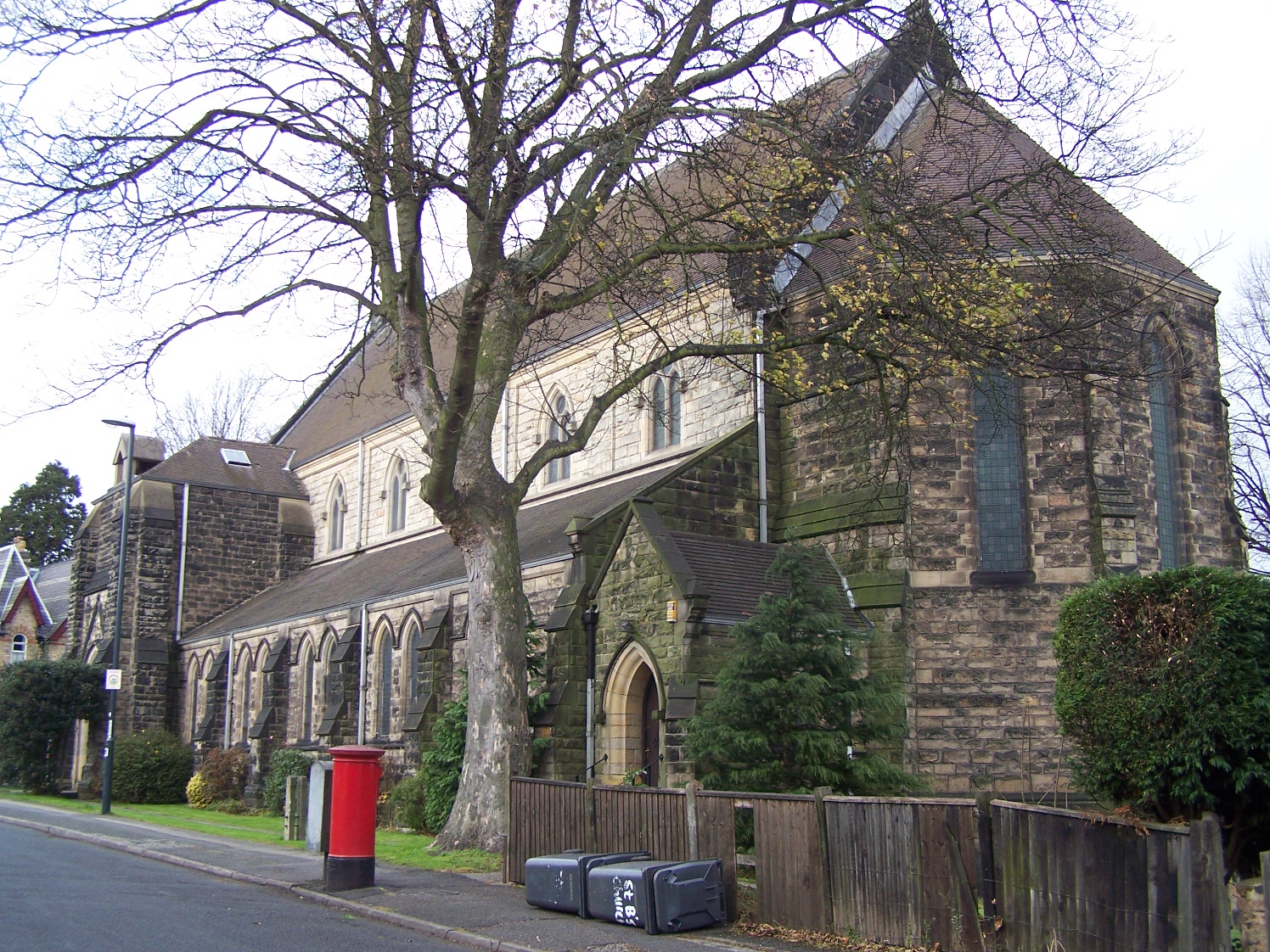
St Barnabas' Church, Derby
St Barnabas' Church, Derby is a Church of England parish church in Derby, Derbyshire. == History == A mission church was established on the site of the...
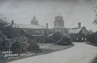
Kingsway Hospital
Kingsway Hospital was a mental health facility in Derby, England. == History == The hospital, which was designed by Benjamin Jacobs using a dual courtyard...

Markeaton
Markeaton is a suburban village and former civil parish within Derby in the ceremonial county of Derbyshire, England. It is in the Mackworth Ward of Derby...
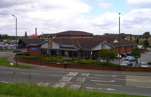
Nearby Amenities
Located within 500m of 52.922937,-1.5045364Have you been to New Zealand?
Leave your review of New Zealand below (or comments, questions and feedback).