New York
Settlement in Derbyshire South Derbyshire
England
New York
New York is a small village located in the county of Derbyshire, England. Situated in the Amber Valley district, this charming village is surrounded by picturesque landscapes and offers a serene countryside atmosphere. With a population of around 1,300 residents, New York is a tight-knit community that exudes a friendly and welcoming ambiance.
The village is known for its rich history, dating back to the 19th century when it was established as a coal mining community. Although the mining industry has declined over the years, traces of its past can still be seen in the form of old mine shafts and remnants of industrial architecture.
One of the prominent landmarks in New York is the New York Windmill, a traditional windmill that stands proudly on the outskirts of the village. This well-preserved structure serves as a reminder of the area's agricultural heritage.
New York offers a range of amenities for its residents and visitors, including a primary school, a community center, and several local shops and businesses. The village also boasts a vibrant social scene, with various events and activities organized throughout the year, such as fairs, festivals, and sports competitions.
Surrounded by the stunning Derbyshire countryside, New York is an excellent base for outdoor enthusiasts. The village provides easy access to nearby walking and cycling trails, offering breathtaking views of the rolling hills and picturesque landscapes.
Overall, New York, Derbyshire is a charming village that combines a rich history with stunning natural beauty, making it an ideal destination for those seeking a peaceful and idyllic countryside experience.
If you have any feedback on the listing, please let us know in the comments section below.
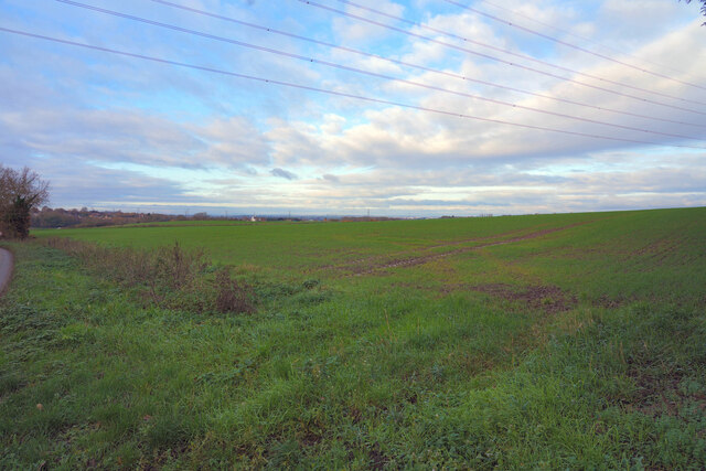
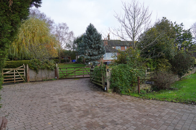
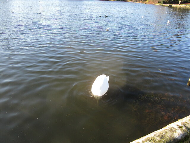
New York Images
Images are sourced within 2km of 52.822402/-1.432906 or Grid Reference SK3825. Thanks to Geograph Open Source API. All images are credited.


New York is located at Grid Ref: SK3825 (Lat: 52.822402, Lng: -1.432906)
Administrative County: Derbyshire
District: South Derbyshire
Police Authority: Derbyshire
What 3 Words
///disclose.valuables.rate. Near Melbourne, Derbyshire
Nearby Locations
Related Wikis
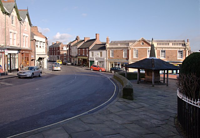
Melbourne, Derbyshire
Melbourne () is a market town and civil parish in South Derbyshire, England. It was home to Thomas Cook, and has a street named after him. It is 8 miles...

Melbourne Castle
Melbourne Castle was a medieval castle in Melbourne, Derbyshire. It was built on the site of an earlier royal manor house that had provided accommodation...
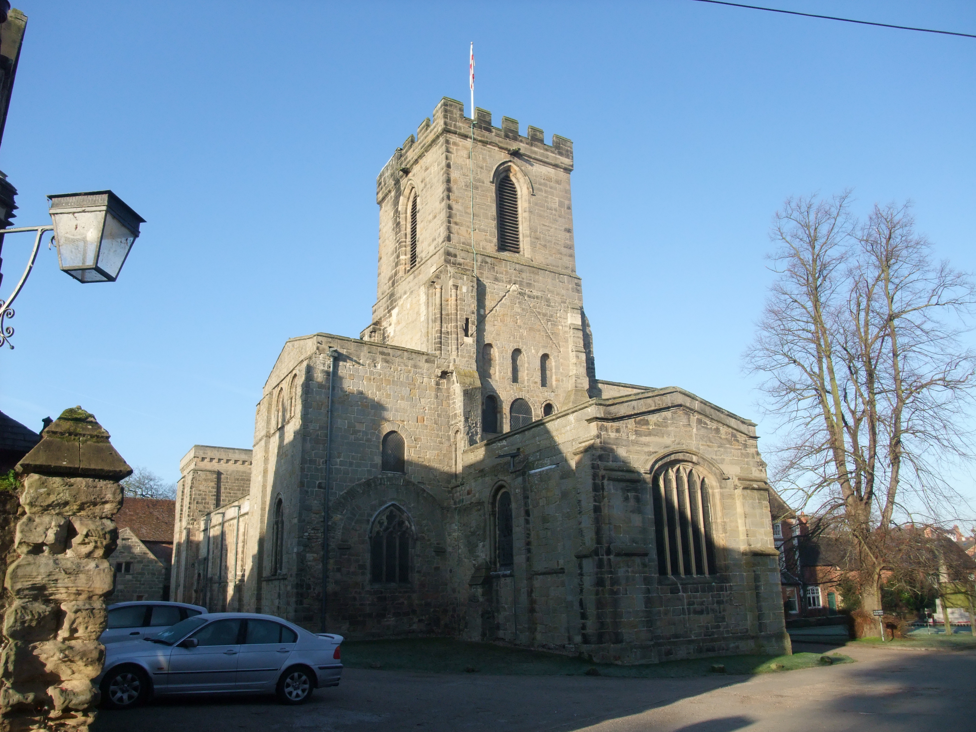
St Michael with St Mary's Church, Melbourne
St Michael and St Mary's Church, Melbourne is a Grade I listed parish church in the Church of England in Melbourne, Derbyshire. == History == The church...

Melbourne Hall
Melbourne Hall is a Georgian style country house in Melbourne, Derbyshire, previously owned by William Lamb, 2nd Viscount Melbourne, British Prime Minister...
Nearby Amenities
Located within 500m of 52.822402,-1.432906Have you been to New York?
Leave your review of New York below (or comments, questions and feedback).