Lilypool
Settlement in Derbyshire South Derbyshire
England
Lilypool
Lilypool is a small village located in the county of Derbyshire, England. Situated in the picturesque Peak District National Park, it is surrounded by rolling hills, lush greenery, and breathtaking landscapes. The village is known for its quaint charm and tranquil atmosphere, making it a popular destination for nature lovers and those seeking a peaceful retreat.
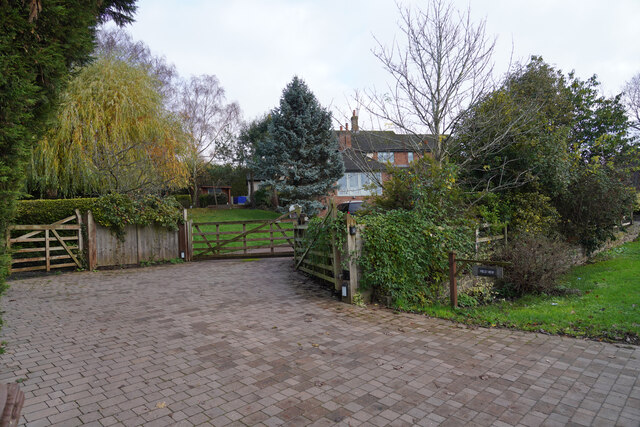
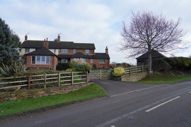
With a population of around 500 residents, Lilypool retains a close-knit community feel. The village is characterized by its traditional stone houses, many of which date back several centuries, giving it a historical and timeless ambiance. The village center features a small selection of amenities, including a local pub, a village shop, and a post office, catering to the needs of both residents and visitors.
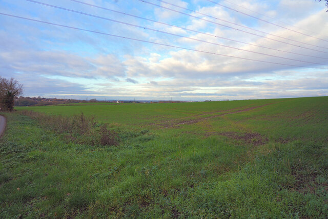
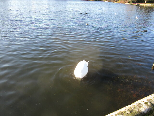
Lilypool is renowned for its outdoor recreational activities, attracting hikers, cyclists, and nature enthusiasts from far and wide. The surrounding countryside offers a myriad of walking trails and cycling routes, allowing visitors to explore the stunning landscapes and discover hidden gems along the way. The village is also home to a picturesque lake, known as Lilypool Lake, which serves as a focal point for both leisure activities and wildlife spotting.
In addition to its natural beauty, Lilypool is within close proximity to several notable attractions. Chatsworth House, one of England's most famous stately homes, is just a short drive away. The market town of Bakewell, renowned for its delicious Bakewell pudding, is also easily accessible from the village.
Overall, Lilypool is a captivating destination that offers a serene escape from the hustle and bustle of city life, providing visitors with an opportunity to immerse themselves in the beauty and tranquility of the British countryside.
If you have any feedback on the listing, please let us know in the comments section below.
Lilypool Images
Images are sourced within 2km of 52.825805/-1.4228144 or Grid Reference SK3825. Thanks to Geograph Open Source API. All images are credited.


Lilypool is located at Grid Ref: SK3825 (Lat: 52.825805, Lng: -1.4228144)
Administrative County: Derbyshire
District: South Derbyshire
Police Authority: Derbyshire
What 3 Words
///heaven.quick.oxidation. Near Melbourne, Derbyshire
Nearby Locations
Related Wikis

Melbourne Castle
Melbourne Castle was a medieval castle in Melbourne, Derbyshire. It was built on the site of an earlier royal manor house that had provided accommodation...
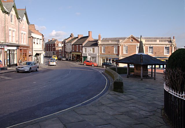
Melbourne, Derbyshire
Melbourne () is a market town and civil parish in South Derbyshire, England. It was home to Thomas Cook, and has a street named after him. It is 8 miles...
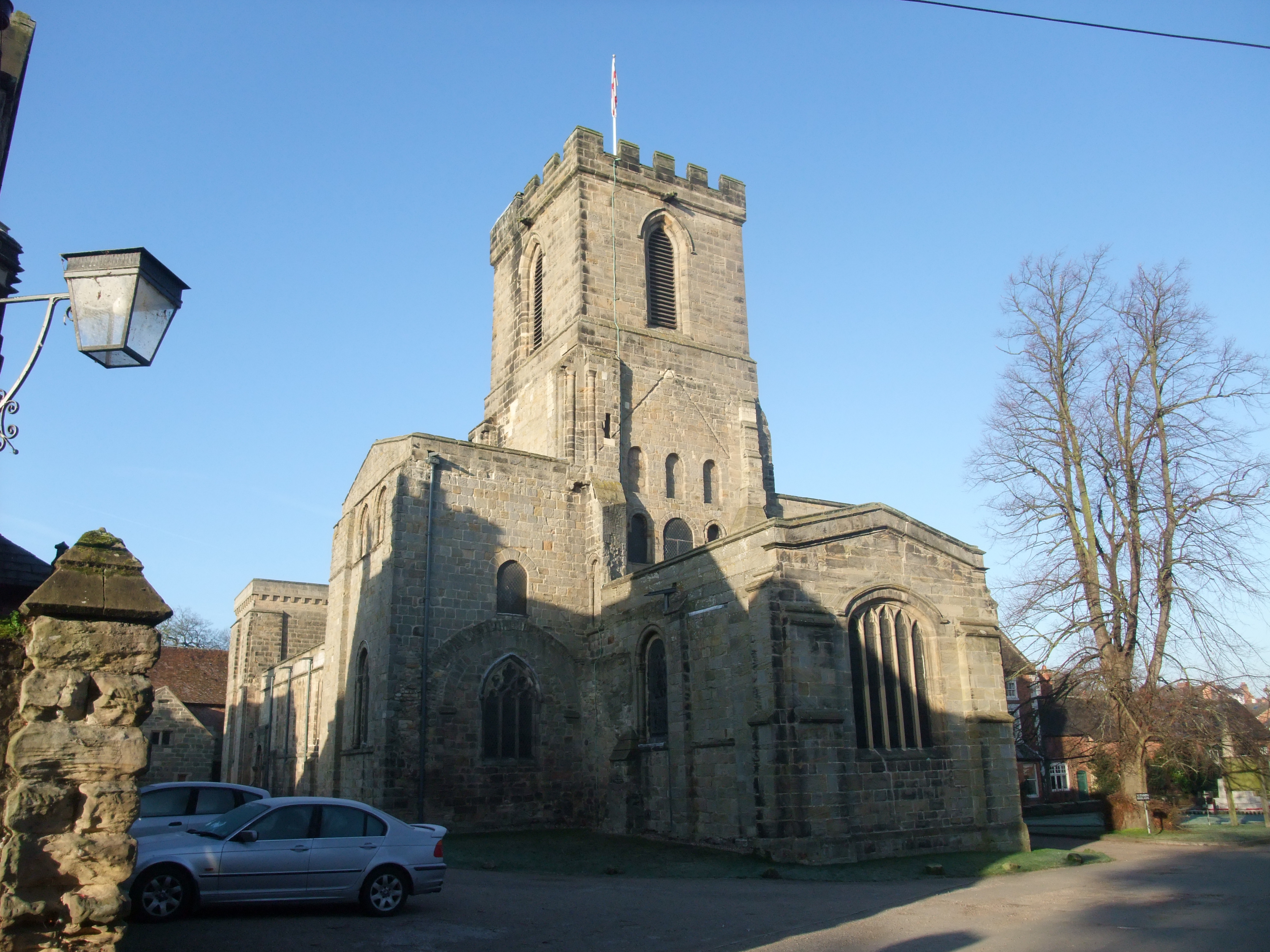
St Michael with St Mary's Church, Melbourne
St Michael and St Mary's Church, Melbourne is a Grade I listed parish church in the Church of England in Melbourne, Derbyshire. == History == The church...

Melbourne Hall
Melbourne Hall is a Georgian style country house in Melbourne, Derbyshire, previously owned by William Lamb, 2nd Viscount Melbourne, British Prime Minister...
Nearby Amenities
Located within 500m of 52.825805,-1.4228144Have you been to Lilypool?
Leave your review of Lilypool below (or comments, questions and feedback).