New Wood

Settlement in Staffordshire South Staffordshire

England

New Wood

Bonded Warehouse, Stourbridge This building is a restored bonded warehouse in Canal St, Stourbridge
Bonded Warehouse, Stourbridge Credit: Rob Newman

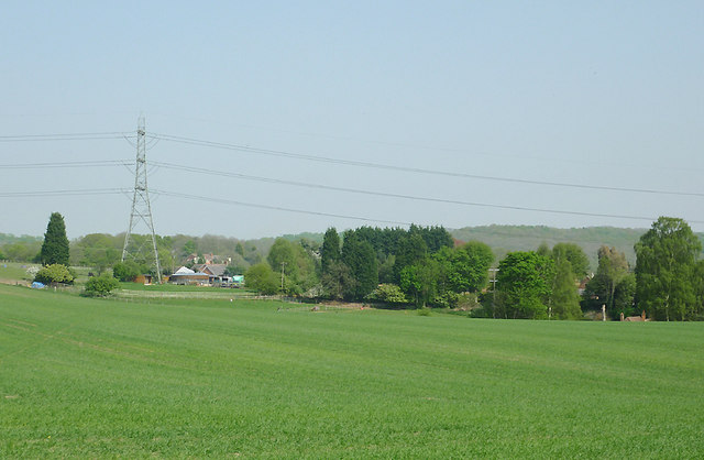
New Wood is a small village located in the county of Staffordshire, England. Nestled in the picturesque countryside, it is surrounded by lush green fields and rolling hills, offering a scenic and tranquil environment for its residents. Situated approximately 8 miles south of Stafford, the village benefits from its proximity to major transport links, while maintaining a peaceful and rural atmosphere.

The village of New Wood is characterized by its charming and traditional English architecture, with a mix of stone cottages and red-brick houses lining its streets. It boasts a close-knit community, where residents enjoy a strong sense of belonging and neighborly spirit. The local pub, The Oak Inn, is a popular gathering spot, providing a warm and welcoming atmosphere for both locals and visitors alike.

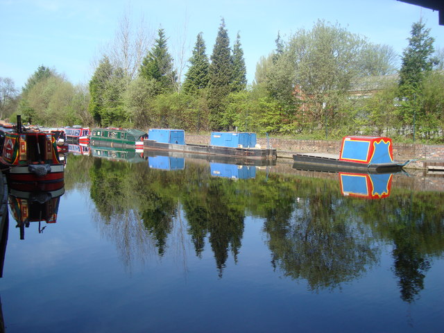
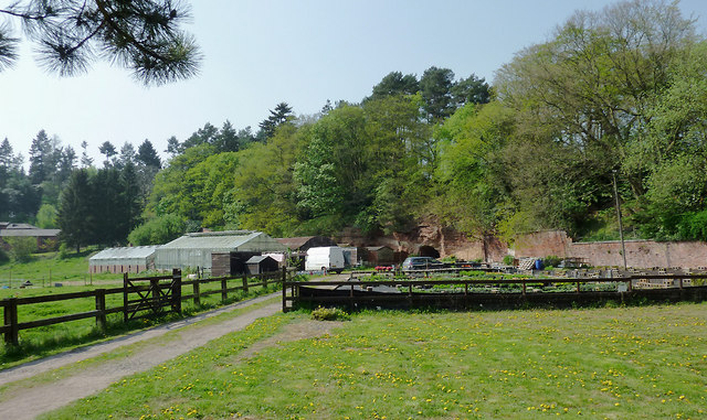
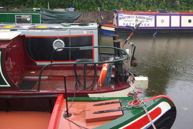
New Wood is surrounded by an abundance of natural beauty, making it an ideal location for outdoor enthusiasts. The nearby Cannock Chase, an Area of Outstanding Natural Beauty, offers extensive woodland trails for walking, cycling, and horse riding. Additionally, the village benefits from its close proximity to the River Penk, providing opportunities for fishing and boating activities.

Despite its small size, New Wood is well-served by amenities and facilities. The village has a primary school, ensuring that local children have access to quality education within their community. Additionally, there are a few local shops and services, including a post office and a convenience store, catering to the daily needs of residents.

In summary, New Wood is a charming village in Staffordshire, offering a peaceful and idyllic setting for its residents. With its natural beauty and strong sense of community, it is a desirable place to call home.

If you have any feedback on the listing, please let us know in the comments section below.
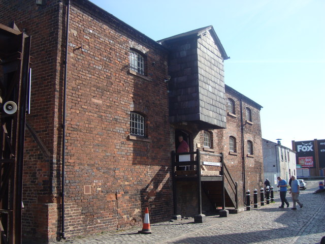
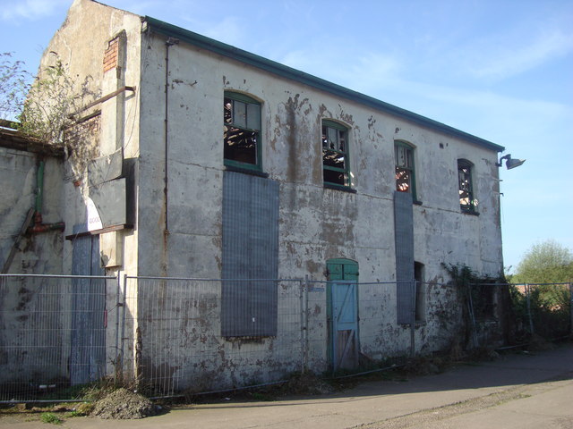
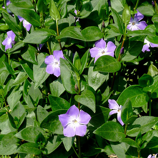
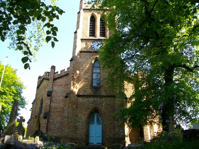
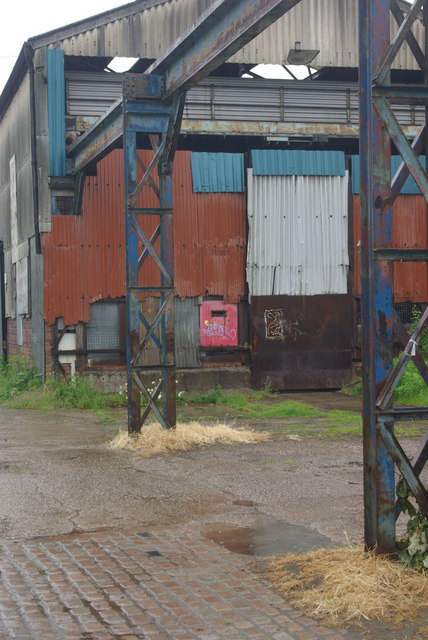
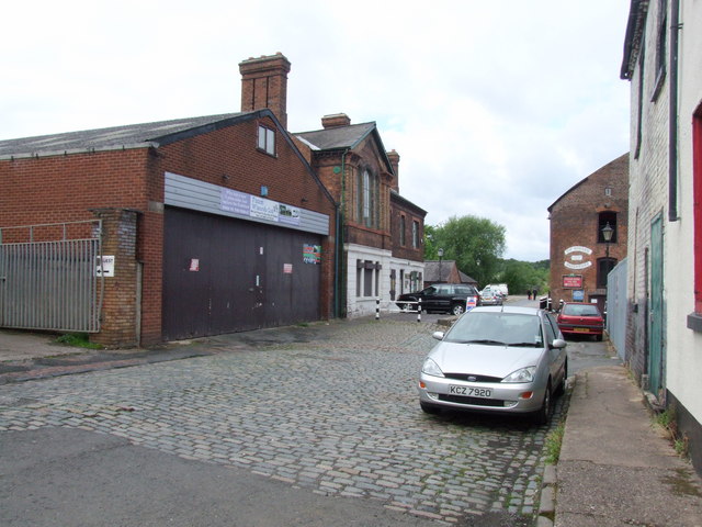
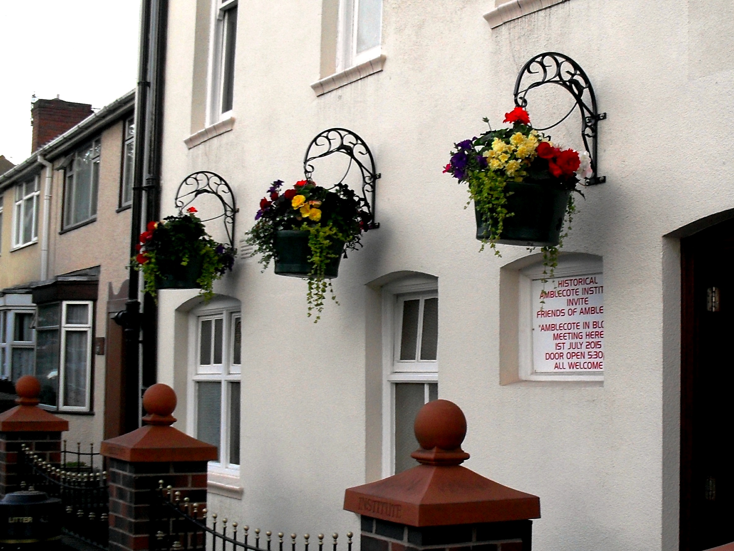
New Wood Images

Images are sourced within 2km of 52.464829/-2.1741413 or Grid Reference SO8885. Thanks to Geograph Open Source API. All images are credited.

Bonded Warehouse, Stourbridge This building is a restored bonded warehouse in Canal St, Stourbridge
Bonded Warehouse, Stourbridge
This building is a restored bonded warehouse in Canal St, Stourbridge
Derelict Building, Stourbridge This dilapilated building is to be found in Canal Street, Stourbridge
Derelict Building, Stourbridge
This dilapilated building is to be found in Canal Street, Stourbridge
Stourbridge Canal Basin Viewed from beside the bonded warehouse in Canal Street this is the terminal basin of the Stourbridge Canal
Stourbridge Canal Basin
Viewed from beside the bonded warehouse in Canal Street this is the terminal basin of the Stourbridge Canal
Cave at Prestwood near Stourton, Staffordshire This cave in the Triassic sandstone is on land belonging to Prestwood Cave Nursery. The nursery grows a limited range of hardy shrubs and other plants. Quality is high, and the prices are very reasonable. The hard winter of 2010-2011 killed many plants in nurseries all over the West Midlands, but enough remains here to continue trading.
Cave at Prestwood near Stourton, Staffordshire
This cave in the Triassic sandstone is on land belonging to Prestwood Cave Nursery. The nursery grows a limited range of hardy shrubs and other plants. Quality is high, and the prices are very reasonable. The hard winter of 2010-2011 killed many plants in nurseries all over the West Midlands, but enough remains here to continue trading.
Prestwood Cave Nursery near Stourton, Staffordshire The nursery grows a limited range of hardy shrubs and other plants. Quality is high, and the prices are very reasonable. The hard winter of 2010-2011 killed many plants in nurseries all over the West Midlands, but enough remains here to continue trading.
Prestwood Cave Nursery near Stourton, Staffordshire
The nursery grows a limited range of hardy shrubs and other plants. Quality is high, and the prices are very reasonable. The hard winter of 2010-2011 killed many plants in nurseries all over the West Midlands, but enough remains here to continue trading.
Bridleway near Stourton, Staffordshire The bridleway links Wolverhampton Road (A449) at Prestwood with Greensforge Lane and Gothersley Farm.
Bridleway near Stourton, Staffordshire
The bridleway links Wolverhampton Road (A449) at Prestwood with Greensforge Lane and Gothersley Farm.
Bridleway near Stourton, Staffordshire The bridleway links Wolverhampton Road (A449) at Prestwood with Greensforge Lane and Gothersley Farm.
Bridleway near Stourton, Staffordshire
The bridleway links Wolverhampton Road (A449) at Prestwood with Greensforge Lane and Gothersley Farm.
Bridleway near Stourton, Staffordshire The bridleway links Wolverhampton Road (A449) at Prestwood with Greensforge Lane and Gothersley Farm.
Bridleway near Stourton, Staffordshire
The bridleway links Wolverhampton Road (A449) at Prestwood with Greensforge Lane and Gothersley Farm.
Farmland near Prestwood, Staffordshire Seen from the bridleway near Prestwood Cave Nursery.
Farmland near Prestwood, Staffordshire
Seen from the bridleway near Prestwood Cave Nursery.
Arable Land near Prestwood, Staffordshire Looking across the fields from the bridleway between Prestwood and Greensforge Lane. The tall dark green conifers in the centre of the image are by the A449 near Yew Tree Farm.
Arable Land near Prestwood, Staffordshire
Looking across the fields from the bridleway between Prestwood and Greensforge Lane. The tall dark green conifers in the centre of the image are by the A449 near Yew Tree Farm.
Periwinkle flowers near Prestwood Cave, Staffordshire These attractive periwinkle (Vinca major) flowers were growing at the edge of the bridleway below a conifer hedge, so it is probably an escape from the garden. 

<a href="https://www.geograph.org.uk/photo/2379158">SO8686 : Periwinkle flowers near Prestwood Cave, Staffordshire</a>
Periwinkle flowers near Prestwood Cave, Staffordshire
These attractive periwinkle (Vinca major) flowers were growing at the edge of the bridleway below a conifer hedge, so it is probably an escape from the garden. SO8686 : Periwinkle flowers near Prestwood Cave, Staffordshire
Periwinkle flowers near Prestwood Cave, Staffordshire These pretty periwinkle (Vinca major) flowers were growing at the edge of the bridleway below a conifer hedge, so it is probably an escape from the garden. 

<a href="https://www.geograph.org.uk/photo/2379146">SO8686 : Periwinkle flowers near Prestwood Cave, Staffordshire</a>
Periwinkle flowers near Prestwood Cave, Staffordshire
These pretty periwinkle (Vinca major) flowers were growing at the edge of the bridleway below a conifer hedge, so it is probably an escape from the garden. SO8686 : Periwinkle flowers near Prestwood Cave, Staffordshire
Prestwood Cave Nursery near Stourton, Staffordshire The cave and the Triassic sandstone rock face are clearly visible.

The nursery grows a limited range of hardy shrubs and other plants. Quality is high, and the prices are very reasonable. The hard winter of 2010-2011 killed many plants in nurseries all over the West Midlands, but enough remain here to continue propagation and trading.
Prestwood Cave Nursery near Stourton, Staffordshire
The cave and the Triassic sandstone rock face are clearly visible. The nursery grows a limited range of hardy shrubs and other plants. Quality is high, and the prices are very reasonable. The hard winter of 2010-2011 killed many plants in nurseries all over the West Midlands, but enough remain here to continue propagation and trading.
Parish Church of the Holy Trinity Amblecote Opened for service in 1842
Parish Church of the Holy Trinity Amblecote
Opened for service in 1842
Narrowboats at Stourbridge Narrowboats moored, in the rain, close to the end of the Stourbridge Town Arm.
Narrowboats at Stourbridge
Narrowboats moored, in the rain, close to the end of the Stourbridge Town Arm.
Derelict industrial site - Canal Street, Stourbridge Right by the Stourbridge Town canal arm, stands this forlorn former steel rolling mill. There are plans to redevelop the site for housing.
Derelict industrial site - Canal Street, Stourbridge
Right by the Stourbridge Town canal arm, stands this forlorn former steel rolling mill. There are plans to redevelop the site for housing.
Canal Street, Stourbridge
Show me another place!

New Wood is located at Grid Ref: SO8885 (Lat: 52.464829, Lng: -2.1741413)

Administrative County: Staffordshire

District: South Staffordshire

Police Authority: Staffordshire

What 3 Words

///amps.knowledge.voucher. Near Stourbridge, West Midlands

Nearby Locations

New Wood New Wood

Related Wikis

Wollaston, West Midlands

Wollaston is a village on the outskirts of Stourbridge in the English West Midlands. It is located in the south of the Dudley Metropolitan Borough, one...

Ridgewood High School, Wollaston

Ridgewood High School is a coeducational secondary school, a part of the Stour Vale Academy Trust situated in Wollaston (near Stourbridge), in the West...

Amblecote

Amblecote is an affluent urban village in the Metropolitan Borough of Dudley in the West Midlands, England. It lies immediately north of the historic town...

Stourbridge Canal

The Stourbridge Canal is a canal in the West Midlands of England. It links the Staffordshire and Worcestershire Canal (at Stourton Junction, affording...

The Lace Guild

The Lace Guild is a registered charity, accredited museum and educational organisation based in the UK for lacemakers and those interested in lacemaking...

War Memorial Athletic Ground

The War Memorial Athletic Ground, often referred to as simply the War Memorial Ground, is a sports ground in the Amblecote region of Stourbridge, West...

Norton, Stourbridge

Norton is a suburb and council ward in the town of Stourbridge, West Midlands. It has a population of 11,943 in an area of 569 hectares. The population...

Red House Cone

The Red House Cone is a glass cone located in Wordsley in the West Midlands, adjacent to the Stourbridge Canal bridge on the A491 High Street. It is a...

Nearby Amenities

Located within 500m of 52.464829,-2.1741413
Bus Stop
Bridle Rd / Vicarage Rd
Bus: yes
Naptan AtcoCode: 43000826601
Naptan Bearing: S
Naptan BusStopType: MKD
Naptan CommonName: Vicarage Rd
Naptan Indicator: adj
Naptan NaptanCode: nwmjtjtj
Naptan PlusbusZoneRef: BHAMNWS
Naptan Status: ACT
Naptan StopType: BCT
Naptan Street: BRIDLE RD
Naptan Towards: Stourbridge
Naptan Verified: no
Public Transport: platform
Route Ref: 227;228;X96
Source: WMCA
Lat/Long: 52.4625714/-2.1701041
Bus Stop
Bridle Rd / Vicarage Rd
Bus: yes
Naptan AtcoCode: 43000826602
Naptan Bearing: N
Naptan BusStopType: MKD
Naptan CommonName: Vicarage Rd
Naptan Indicator: opp
Naptan NaptanCode: nwmjtjtm
Naptan PlusbusZoneRef: BHAMNWS
Naptan Status: ACT
Naptan StopType: BCT
Naptan Street: BRIDLE RD
Naptan Towards: Kinver
Naptan Verified: no
Public Transport: platform
Route Ref: 227;228
Source: WMCA
Lat/Long: 52.4627781/-2.1702079
Bus Stop
Vicarage Rd / Hyperion Rd
NaPTANAreaCode: 43000826701
Bus: yes
Naptan AtcoCode: 43000826701
Naptan Bearing: E
Naptan BusStopType: MKD
Naptan CommonName: Hyperion Rd
Naptan Indicator: adj
Naptan NaptanCode: nwmjtjtp
Naptan PlusbusZoneRef: BHAMNWS
Naptan Status: ACT
Naptan StopType: BCT
Naptan Street: VICARAGE RD
Naptan Towards: Stourbridge
Naptan Verified: no
Public Transport: platform
Route Ref: 227;228
Shelter: yes
Shelter Ref: 408213
Source: WMCA
Lat/Long: 52.4639504/-2.1739069
Bus Stop
Vicarage Rd / Hyperion Rd
Bus: yes
Naptan AtcoCode: 43000826702
Naptan Bearing: W
Naptan BusStopType: MKD
Naptan CommonName: Hyperion Rd
Naptan Indicator: opp
Naptan NaptanCode: nwmjtjtw
Naptan PlusbusZoneRef: BHAMNWS
Naptan Status: ACT
Naptan StopType: BCT
Naptan Street: VICARAGE RD
Naptan Towards: Kinver
Naptan Verified: no
Public Transport: platform
Route Ref: 227;228
Source: WMCA
Lat/Long: 52.4638607/-2.1737741
Bus Stop
Kingsway / Norfolk Rd
NaPTANAreaCode: 43000827501
Bus: yes
Naptan AtcoCode: 43000827501
Naptan Bearing: S
Naptan BusStopType: MKD
Naptan CommonName: Norfolk Rd
Naptan Indicator: adj
Naptan NaptanCode: nwmjtmad
Naptan PlusbusZoneRef: BHAMNWS
Naptan Status: ACT
Naptan StopType: BCT
Naptan Street: KINGSWAY
Naptan Towards: Stourbridge
Naptan Verified: no
Public Transport: platform
Route Ref: 251;X96
Shelter: yes
Shelter Ref: 406611
Source: WMCA
Lat/Long: 52.4676561/-2.168857
Kingsway / Norfolk Rd
Naptan AtcoCode: 43000827502
Naptan Bearing: N
Naptan BusStopType: CUS
Naptan CommonName: Norfolk Rd
Naptan Indicator: opp
Naptan Landmark: opp
Naptan NaptanCode: nwmtptjg
Naptan PlusbusZoneRef: BHAMNWS
Naptan Status: ACT
Naptan StopType: BCT
Naptan Street: KINGSWAY
Naptan Towards: Amblecote
Naptan Verified: no
Route Ref: 250
Source: WMCA
Lat/Long: 52.466231/-2.1694553
Kingsway / York Crescent
Naptan AtcoCode: 43000827602
Naptan Bearing: W
Naptan BusStopType: CUS
Naptan CommonName: York Crescent
Naptan Indicator: adj
Naptan Landmark: Primary School
Naptan NaptanCode: nwmtptjd
Naptan PlusbusZoneRef: BHAMNWS
Naptan Status: ACT
Naptan StopType: BCT
Naptan Street: KINGSWAY
Naptan Towards: Amblecote
Naptan Verified: no
Route Ref: 250
Source: WMCA
Lat/Long: 52.4656484/-2.1684968
Bus Stop
Prestwood Drive
Bus: yes
Naptan AtcoCode: 3800C630701
Naptan Bearing: E
Naptan BusStopType: CUS
Naptan CommonName: Rugby Club
Naptan Indicator: Opp
Naptan Landmark: Rugby Club
Naptan Street: Bridgnorth Road
Naptan Verified: no
Public Transport: platform
Source: naptan_import
Lat/Long: 52.4635562/-2.1806322
Bus Stop
Prestwood Drive
Bus: yes
Naptan AtcoCode: 3800C630702
Naptan Bearing: W
Naptan BusStopType: CUS
Naptan CommonName: Rugby Club
Naptan Indicator: Adj
Naptan Landmark: Rugby Club
Naptan Street: Bridgnorth Road
Naptan Verified: no
Public Transport: platform
Source: naptan_import
Lat/Long: 52.4633652/-2.1804693
Turning Circle
Source: bing
Lat/Long: 52.4641648/-2.1695119
Bus Stop
Kingsway / York Crescent
NaPTANAreaCode: 43000827601
Bus: yes
Naptan AtcoCode: 43000827601
Naptan Bearing: E
Naptan BusStopType: MKD
Naptan CommonName: York Crescent
Naptan Indicator: opp
Naptan NaptanCode: nwmjtmag
Naptan Status: ACT
Naptan StopType: BCT
Naptan Street: KINGSWAY
Naptan Towards: Stourbridge
Public Transport: platform
Route Ref: 251;X96
Shelter: yes
Shelter Ref: 406619
Source: WMCA
Lat/Long: 52.4656127/-2.1682714
Grit Bin
Material: plastic
Lat/Long: 52.4655307/-2.1707118
Barrier: cycle_barrier
Lat/Long: 52.4638152/-2.1698584
Generator Method: photovoltaic
Generator Output Electricity: yes
Generator Source: solar
Generator Type: solar_photovoltaic_panel
Location: roof
Power: generator
Lat/Long: 52.4629259/-2.1732894
Generator Method: photovoltaic
Generator Output Electricity: yes
Generator Source: solar
Generator Type: solar_photovoltaic_panel
Location: roof
Power: generator
Lat/Long: 52.4657505/-2.1720582
Bus Stop
Frairs Gorse
Bus: yes
Public Transport: platform
Source: https://bustimes.org/stops/3800C632001
Lat/Long: 52.4669737/-2.1718036
Bus Stop
no. 56
Bus: yes
Public Transport: platform
Source: https://bustimes.org/stops/3800C631801
Lat/Long: 52.4673245/-2.173303
The data included in this document is from www.openstreetmap.org. The data is made available under ODbL.

Have you been to New Wood?

Leave your review of New Wood below (or comments, questions and feedback).