New Westwood

Settlement in Nottinghamshire Ashfield

England

New Westwood

Old farm on Mansfield Road, Selston
Old farm on Mansfield Road, Selston Credit: Neil Theasby

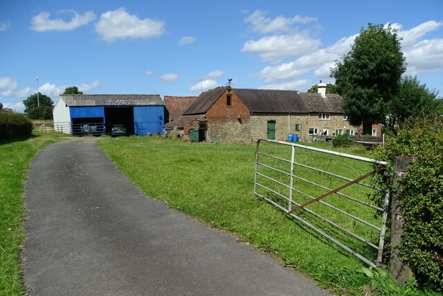
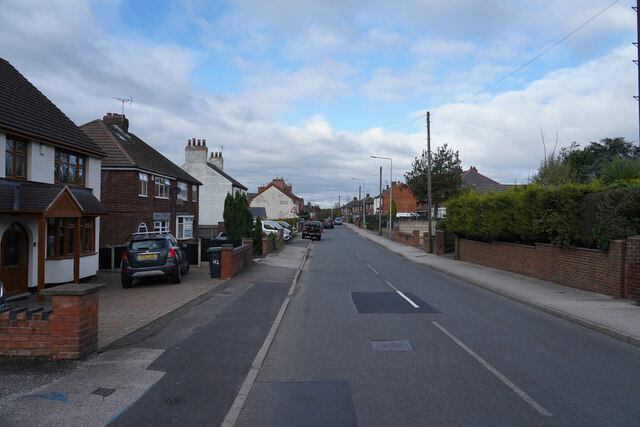
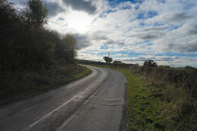
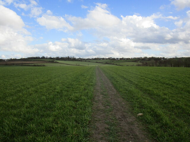
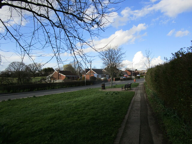
New Westwood is a village located in the county of Nottinghamshire, England. Situated approximately 4 miles south of Mansfield, it is a part of the Mansfield district. The village is nestled within a predominantly rural area, surrounded by picturesque countryside and farmland.

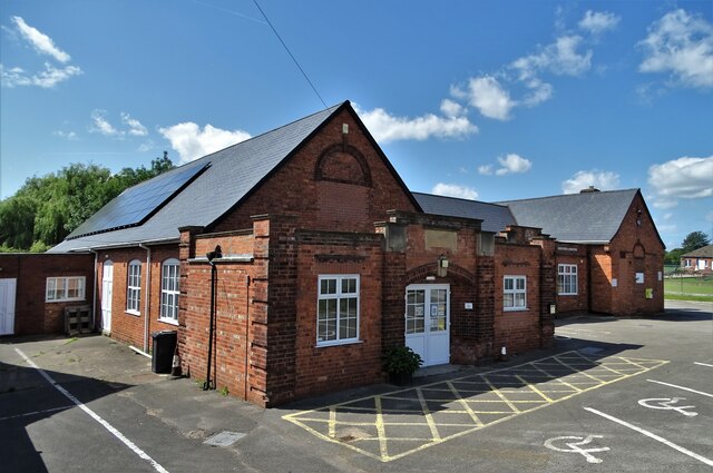
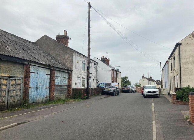
New Westwood is a small and close-knit community, with a population of around 1,500 residents. Despite its size, the village boasts several amenities and services to cater to the needs of its residents. These include a primary school, a village hall, a community center, a local pub, and a small selection of shops and businesses.

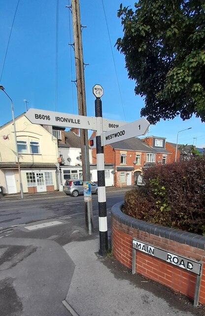
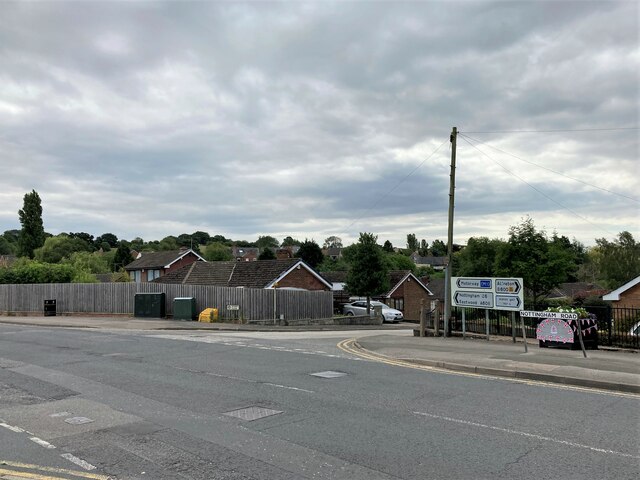
The village is well-connected to the region’s transportation network, with regular bus services providing links to nearby towns and cities. The A38 road runs just to the west of New Westwood, ensuring convenient road access to Mansfield and other major transport routes.

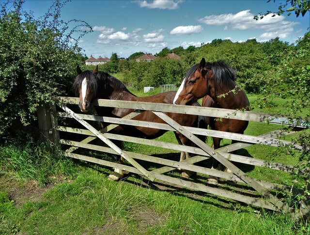
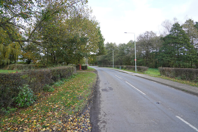
The surrounding countryside offers numerous opportunities for outdoor activities, such as hiking, cycling, and fishing. The area is also home to several nature reserves, providing habitats for a variety of wildlife.

New Westwood benefits from a strong sense of community spirit, with various events and activities organized throughout the year. These include fairs, festivals, and charity fundraisers, which bring residents together and contribute to the vibrant atmosphere of the village.

In summary, New Westwood is a charming village in Nottinghamshire, offering a peaceful and idyllic setting for its residents. With its range of amenities, beautiful countryside, and community spirit, it is a desirable place to live for those seeking a rural lifestyle.

If you have any feedback on the listing, please let us know in the comments section below.
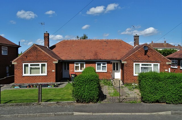
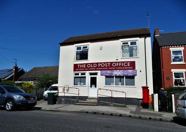
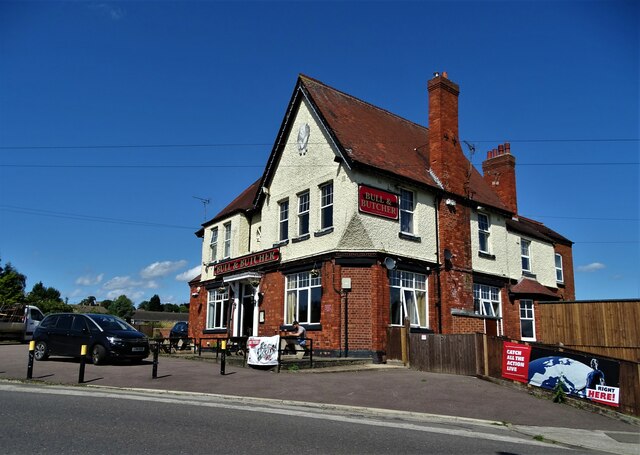
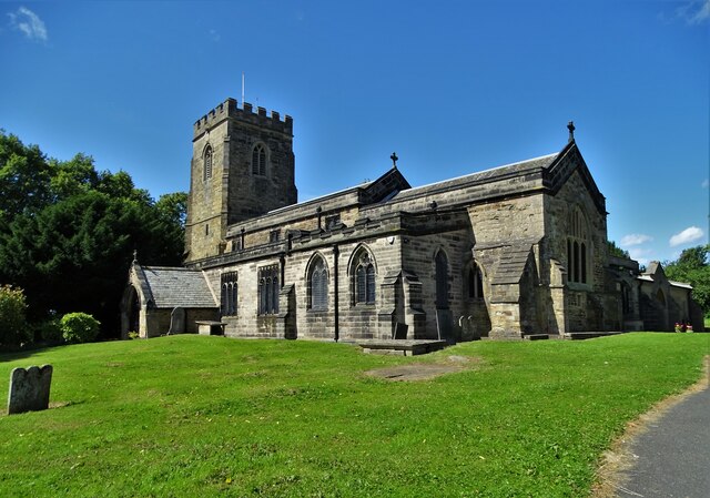
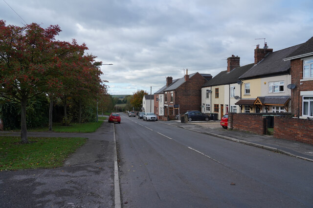
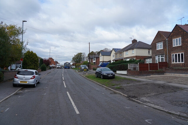
New Westwood Images

Images are sourced within 2km of 53.062029/-1.3191784 or Grid Reference SK4551. Thanks to Geograph Open Source API. All images are credited.

Old farm on Mansfield Road, Selston
House on Mansfield Road, Selston
Selston Parish Hall on Mansfield Road
Horses at a gate, Nottingham Road, Selston Common
Semi-detached bungalows, Selston On Nottingham Road.
Semi-detached bungalows, Selston
On Nottingham Road.
"The Old Post Office" on Alfreton Road, Selston Now a cafe and takeaway.
"The Old Post Office" on Alfreton Road, Selston
Now a cafe and takeaway.
"The Bull and Butcher", Alfreton Road, Selston
St Helen's Church, Selston Green "The stone structure which now comprises St Helen’s church was started in the middle of the 12th century, and it seems to have been built in its entirety over a fairly short period of time. Several items within the church date from this early period of its history, including the Norman font and two carved stone slabs. It would seem that Selston was fairly wealthy at this stage, as in 1171 the parish was sending two shillings a year as a Pentecostal offering to Southwell, a high amount compared to other parishes in the area."
(Copied from Southwell and Nottingham Church History Project)
St Helen's Church, Selston Green
"The stone structure which now comprises St Helen’s church was started in the middle of the 12th century, and it seems to have been built in its entirety over a fairly short period of time. Several items within the church date from this early period of its history, including the Norman font and two carved stone slabs. It would seem that Selston was fairly wealthy at this stage, as in 1171 the parish was sending two shillings a year as a Pentecostal offering to Southwell, a high amount compared to other parishes in the area." (Copied from Southwell and Nottingham Church History Project)
Broad Lane Brinsley This is near the edge of Brinsley travelling towards Jacksdale.
Broad Lane Brinsley
This is near the edge of Brinsley travelling towards Jacksdale.
Main Street This is the edge of West Brinsley.
Main Street
This is the edge of West Brinsley.
Main Road Jacksdale Jacksdale is another village in this former mining area.
Main Road Jacksdale
Jacksdale is another village in this former mining area.
Near Westwood Farm There are fields to both sides of the road at this point, with Westwood Farm on the left side of the road.
Near Westwood Farm
There are fields to both sides of the road at this point, with Westwood Farm on the left side of the road.
Withallow Lane This lane is a minor road that runs back to Brinsley.
Withallow Lane
This lane is a minor road that runs back to Brinsley.
Direction Sign – Signpost on the B6016 in Jacksdale Located in Jacksdale on the east side of the T junction of the B6016 Pye Hill Road / Selston Road and Main Road, Selston parish. 3 arms and octagon finial. See also <a title="https://www.geograph.org.uk/photo/4265904" href="https://www.geograph.org.uk/photo/4265904">Link</a>.

Milestone Society National ID: NT_SK4451
Direction Sign – Signpost on the B6016 in Jacksdale
Located in Jacksdale on the east side of the T junction of the B6016 Pye Hill Road / Selston Road and Main Road, Selston parish. 3 arms and octagon finial. See also Link. Milestone Society National ID: NT_SK4451
Road Junction in Selston Sperry Close can be seen here joining the larger and busier Nottingham Road.
Road Junction in Selston
Sperry Close can be seen here joining the larger and busier Nottingham Road.
Footpath to Selston
Footpath to Selston
Mansfield Road, Selston
Palmerston Street in Underwood
Show me another place!

New Westwood is located at Grid Ref: SK4551 (Lat: 53.062029, Lng: -1.3191784)

Administrative County: Nottinghamshire

District: Ashfield

Police Authority: Nottinghamshire

What 3 Words

///hubcaps.punters.something. Near Pinxton, Derbyshire

Nearby Locations

New Westwood Westwood

Related Wikis

St Mary's Church, Westwood

St. Mary's Church, Westwood is a parish church in the Church of England in Jacksdale, Nottinghamshire. == History == The church was built in 1898 to the...

Jacksdale

Jacksdale is a village in the Ashfield local-government district of Nottinghamshire, England, once a mining community. The population of Jacksdale ward...

Codnor Park and Selston railway station

Codnor Park and Selston railway station was a former railway station to serve the villages of Codnor Park and Selston on the border between Derbyshire...

Pye Hill

Pye Hill is a hamlet in the Erewash Valley, Nottinghamshire, England. The B600 road runs east–west through it. It was once served by the Pye Hill and Somercotes...

Nearby Amenities

Located within 500m of 53.062029,-1.3191784
Westwood
Is In: Nottinghamshire, United Kingdom
Place: village
Lat/Long: 53.0589989/-1.3211449
Bus Stop
New Westwood
Bus: yes
Naptan AtcoCode: 3300AS0075
Naptan Bearing: E
Naptan CommonName: New Westwood
Naptan Crossing: New Westwood
Naptan Indicator: adj
Naptan NaptanCode: ntsdwgjp
Naptan Notes: none
Naptan Street: Main Road
Naptan Verified: no
Public Transport: platform
Source: naptan_import
Lat/Long: 53.059029/-1.319859
Bus Stop
New Westwood
Bus: yes
Naptan AtcoCode: 3300AS0076
Naptan Bearing: W
Naptan CommonName: New Westwood
Naptan Crossing: New Westwood
Naptan Indicator: opp
Naptan NaptanCode: ntsdwgjt
Naptan Notes: none
Naptan Street: Main Road
Naptan Verified: no
Public Transport: platform
Source: naptan_import
Lat/Long: 53.0589582/-1.320069
Barrier: stile
Steps: 2
Stile: stepover
Lat/Long: 53.059022/-1.3194642
Ele: 79
Lat/Long: 53.0593732/-1.3246296
Post Box
Ele: 86.1632080
Post Box Type: lamp
Royal Cypher: EIIR
Royal Cypher Wikidata: Q33102113
Lat/Long: 53.0621569/-1.3190847
Ele: 88.0858154
Removed Amenity: telephone
Lat/Long: 53.0625889/-1.319192
Turning Circle
Lat/Long: 53.0620791/-1.3181639
Ele: 82
Lat/Long: 53.061167/-1.3200581
Ele: 85.2019043
Lat/Long: 53.0610266/-1.3234452
Ele: 86.6439209
Lat/Long: 53.0608156/-1.3239759
Bench
Lat/Long: 53.0608545/-1.3240307
Ele: 80
Lat/Long: 53.0592684/-1.3250509
Post Box
Ele: 86.6439209
Lat/Long: 53.0603477/-1.3253278
Ele: 74
Lat/Long: 53.0601789/-1.3138392
Ele: 74
Lat/Long: 53.0601622/-1.313835
Ele: 74.0000000
Lat/Long: 53.060137/-1.3138258
Ele: 76
Lat/Long: 53.0600177/-1.3136073
Ele: 74.0000000
Lat/Long: 53.0600827/-1.3137669
Ele: 78
Lat/Long: 53.061851/-1.3126212
Ele: 78
Lat/Long: 53.0618132/-1.3126325
Ele: 77
Lat/Long: 53.0619335/-1.3126031
Ele: 74
Lat/Long: 53.0601967/-1.3138388
Ele: 76
Lat/Long: 53.0602656/-1.3138308
Ele: 77
Lat/Long: 53.0609427/-1.3136957
Ele: 73
Lat/Long: 53.0600008/-1.3135735
Barrier: stile
Ele: 75
Steps: 2
Stile: stepover
Lat/Long: 53.0600545/-1.3136993
Direction: WSW
Generator Method: photovoltaic
Generator Output Electricity: yes
Generator Solar Modules: 12
Generator Source: solar
Generator Type: solar_photovoltaic_panel
Location: roof
Power: generator
Lat/Long: 53.0597531/-1.3250976
Direction: SSE
Generator Method: photovoltaic
Generator Output Electricity: yes
Generator Solar Modules: 15
Generator Source: solar
Generator Type: solar_photovoltaic_panel
Location: roof
Power: generator
Lat/Long: 53.0599839/-1.3256729
Direction: SSE
Generator Method: photovoltaic
Generator Output Electricity: yes
Generator Solar Modules: 10
Generator Source: solar
Generator Type: solar_photovoltaic_panel
Location: roof
Power: generator
Lat/Long: 53.0603485/-1.3255521
Direction: WSW
Generator Method: photovoltaic
Generator Output Electricity: yes
Generator Solar Modules: 14
Generator Source: solar
Generator Type: solar_photovoltaic_panel
Location: roof
Power: generator
Lat/Long: 53.0594025/-1.3247391
Direction: SSE
Generator Method: photovoltaic
Generator Output Electricity: yes
Generator Solar Modules: 24
Generator Source: solar
Generator Type: solar_photovoltaic_panel
Location: roof
Power: generator
Lat/Long: 53.0592616/-1.3241805
Direction: SSE
Generator Method: photovoltaic
Generator Output Electricity: yes
Generator Solar Modules: 6
Generator Source: solar
Generator Type: solar_photovoltaic_panel
Location: roof
Power: generator
Lat/Long: 53.0593672/-1.3247069
Generator Method: photovoltaic
Generator Output Electricity: yes
Generator Source: solar
Generator Type: solar_photovoltaic_panel
Location: roof
Power: generator
Lat/Long: 53.0629045/-1.3198382
The data included in this document is from www.openstreetmap.org. The data is made available under ODbL.

Have you been to New Westwood?

Leave your review of New Westwood below (or comments, questions and feedback).