Belfield
Settlement in Lancashire
England
Belfield
Belfield is a small residential area located in the borough of Rochdale, Lancashire, England. Situated just south of the town center of Rochdale, Belfield is a predominantly working-class community with a population of around 5,000 residents.
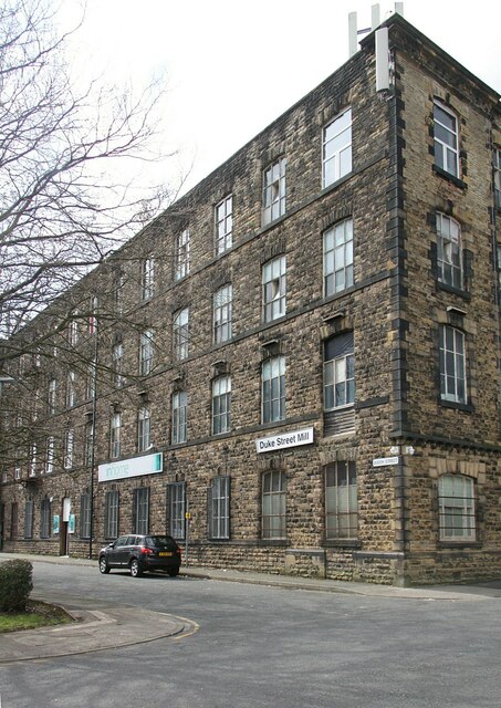
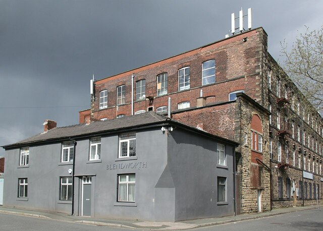
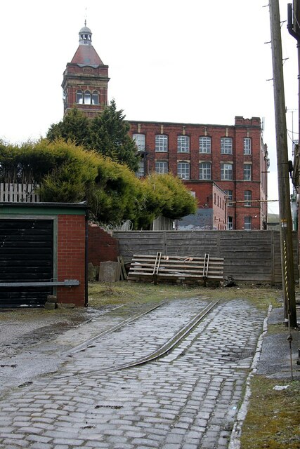
The area is characterized by its terraced housing, which was primarily built during the late 19th and early 20th centuries to accommodate workers from the nearby textile mills. Belfield is known for its close-knit community atmosphere, with many long-standing families residing in the area for generations.
Belfield benefits from its proximity to Rochdale town center, where residents can access a wide range of amenities and services, including shops, restaurants, schools, and healthcare facilities. The area is also well-served by public transportation, with regular bus services connecting Belfield to other parts of Rochdale and neighboring towns.
Despite its urban location, Belfield benefits from its proximity to nature, with Hollingworth Lake Country Park located just a short distance away. The park offers residents the opportunity to enjoy outdoor activities such as walking, cycling, and sailing.
Belfield, like many post-industrial towns in the region, has faced economic challenges in recent years, with the decline of the textile industry impacting local employment opportunities. However, efforts are being made to rejuvenate the area, with plans for regeneration projects and improvements to local infrastructure.
Overall, Belfield is a tight-knit residential community with a rich history, offering its residents a mix of urban conveniences and access to natural surroundings.
If you have any feedback on the listing, please let us know in the comments section below.
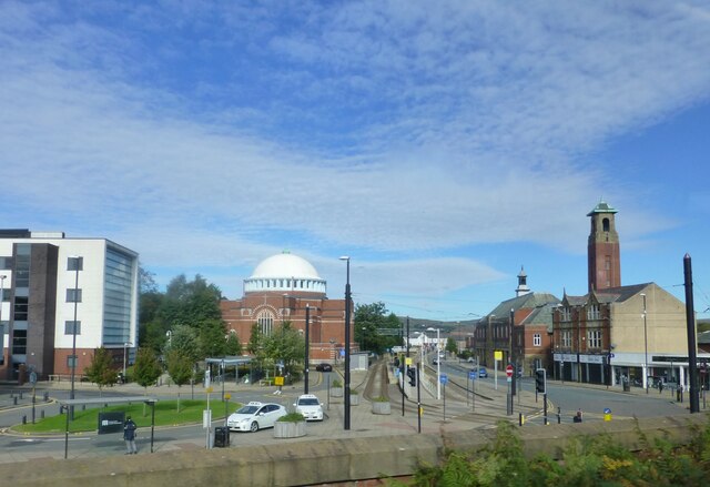
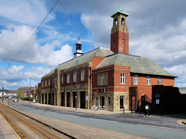
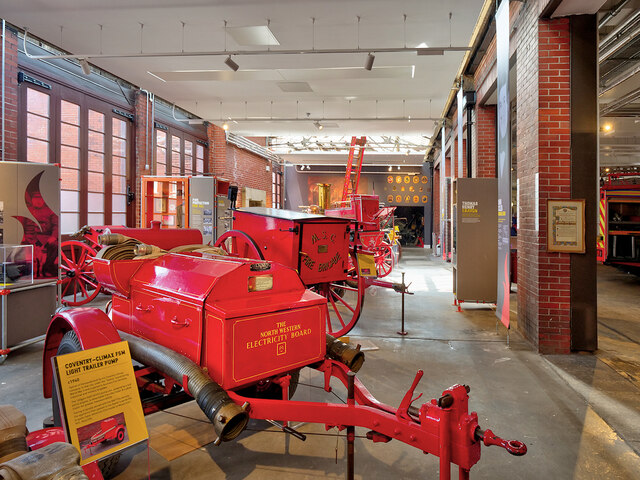
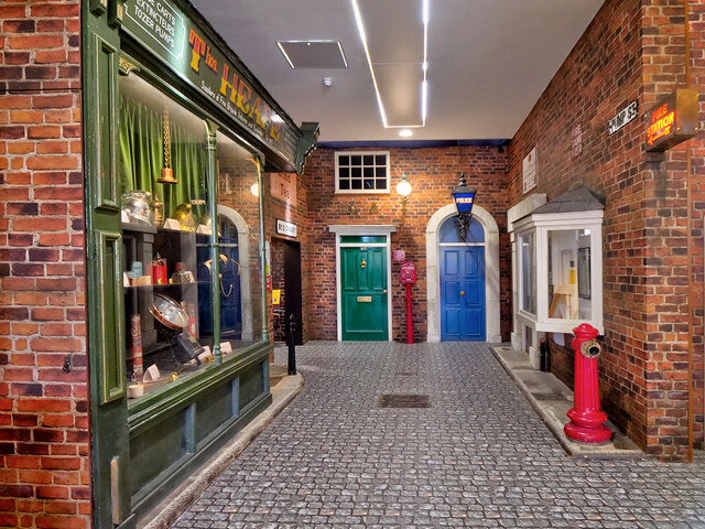
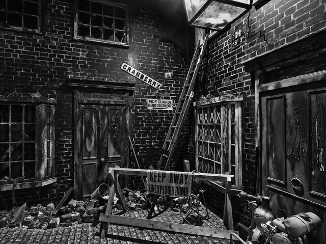
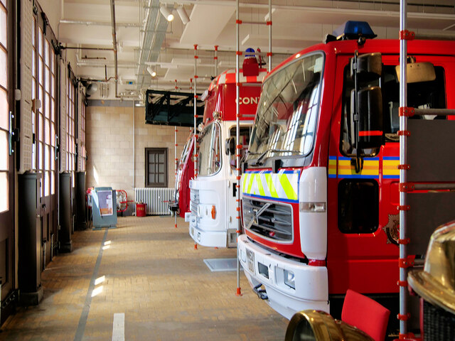
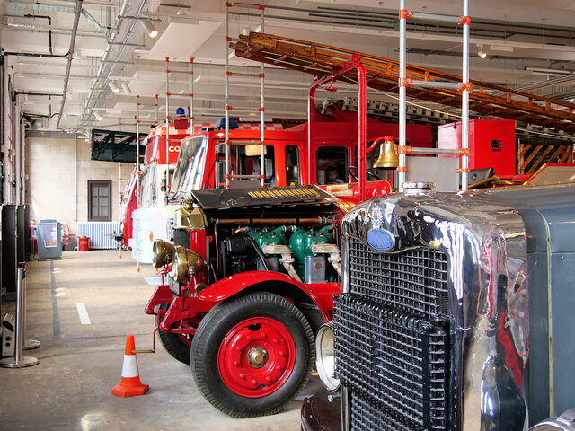
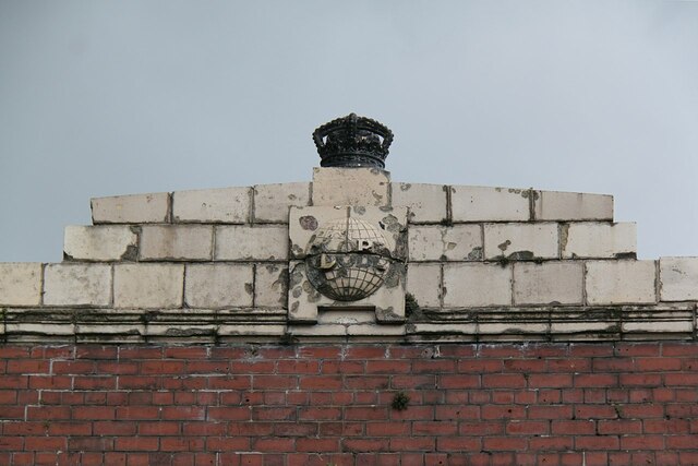
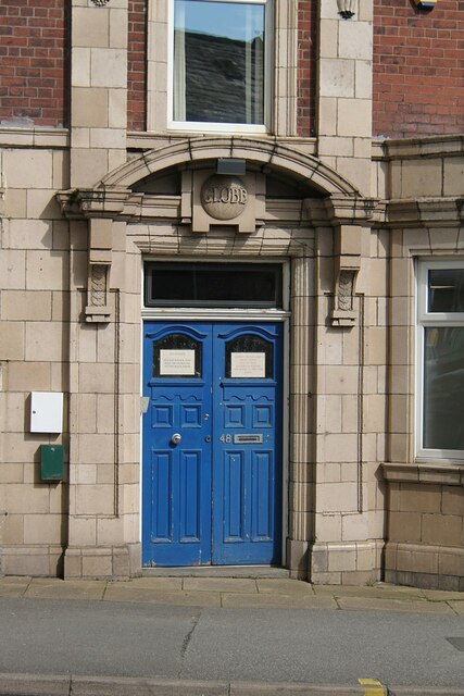
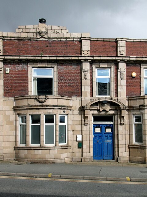
Belfield Images
Images are sourced within 2km of 53.620216/-2.129228 or Grid Reference SD9113. Thanks to Geograph Open Source API. All images are credited.

Belfield is located at Grid Ref: SD9113 (Lat: 53.620216, Lng: -2.129228)
Unitary Authority: Rochdale
Police Authority: Greater Manchester
What 3 Words
///added.steps.pint. Near Milnrow, Manchester
Nearby Locations
Related Wikis

Belfield, Greater Manchester
Belfield is an area within Rochdale, in Greater Manchester, England. It lies at the confluence of the River Beal and River Roch, 1.3 miles (2.1 km) east...

Stanney Brook
Stanney Brook is a watercourse in Greater Manchester, England. It originates in the Burnedge area of Shaw and Crompton, and flows through Milnrow into...

Roch Valley Viaduct
Roch Valley Viaduct was a viaduct built in the 1860s in Rochdale, historically in Lancashire, now within Greater Manchester, that carried the Rochdale...
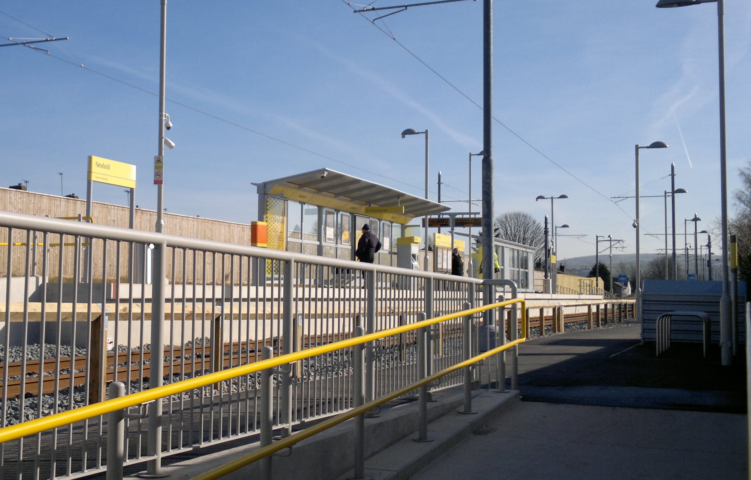
Newbold tram stop
Newbold is a tram stop on the Oldham and Rochdale Line (ORL) of Greater Manchester's Metrolink network. It is located in the Newbold area of Rochdale,...
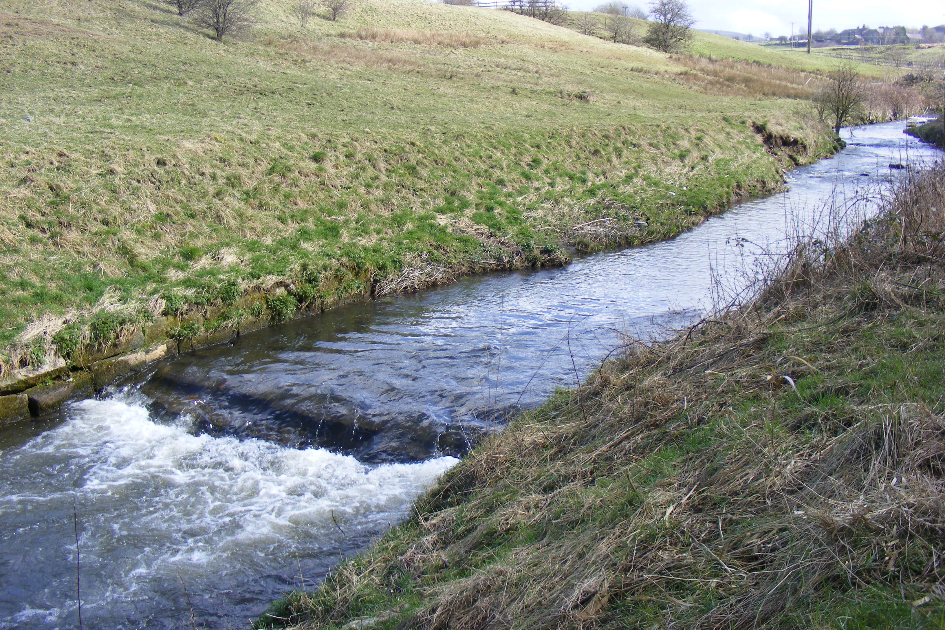
River Beal
The Beal is a small river in Greater Manchester, England, and is a tributary of the River Roch. It rises in the Beal Valley in green space between Sholver...
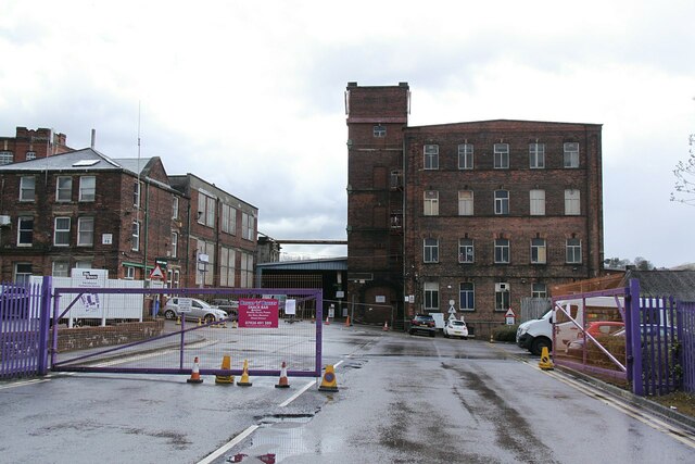
Arkwright Mill, Rochdale
Arkwright Mill, Rochdale is a cotton spinning mill in Rochdale, Greater Manchester. It was built in 1885 by the Arkwright Cotton Spinning Co. It was taken...

Hey Brook
Hey Brook is a watercourse in Rochdale, Greater Manchester and a tributary of the River Roch. It originates at the confluence of Buckley Brook and Syke...
Athletic Grounds, Rochdale
The Athletic Grounds was a stadium in Rochdale, Greater Manchester, England. It was the home of Rochdale Hornets Rugby League Football Club for over 90...
Related Videos

Brown Wardle Hill Hike
24th Aug 2023 | Hike from popular camping spot in Syke to Brown Wardle Hill in Rochdale, North West, England.

Hollingworth Lake Walking Tour
A walk around Hollingworth Lake, a 130-acre reservoir at Smithy Bridge in Littleborough, Greater Manchester, England. Video by ...

Hollingworth Lake / New Hey Hike Highlights
26th June 2023 | Exploring nature and walking trails in North West of England.

Nearby Amenities
Located within 500m of 53.620216,-2.129228Have you been to Belfield?
Leave your review of Belfield below (or comments, questions and feedback).