Newbold
Settlement in Lancashire
England
Newbold

Newbold is a small village located in the county of Lancashire, England. Situated in the picturesque Ribble Valley, it is nestled amidst rolling hills and lush green landscapes. The village is approximately 5 miles north of the bustling town of Clitheroe and is easily accessible via the A59 road.
Newbold has a rich history that dates back to medieval times, and its charming architecture reflects this heritage. The village is dotted with quaint stone cottages and traditional buildings, which add to its timeless appeal. St. John the Evangelist Church, a Grade II listed building, stands proudly as a prominent landmark in the village.
While Newbold may be small in size, it boasts a close-knit community that fosters a warm and friendly atmosphere. The village has a primary school, providing education for local children, and a village hall that serves as a hub for social gatherings and community events.
Nature lovers are drawn to Newbold due to its proximity to the enchanting Forest of Bowland Area of Outstanding Natural Beauty. The area offers ample opportunities for outdoor activities such as hiking, cycling, and birdwatching. Additionally, the nearby River Ribble provides a tranquil setting for fishing and leisurely walks along its banks.
Overall, Newbold is a hidden gem in the heart of Lancashire, offering a peaceful and idyllic retreat for residents and visitors alike. Its rich history, natural beauty, and strong sense of community make it a truly special place to experience the charm of rural England.
If you have any feedback on the listing, please let us know in the comments section below.
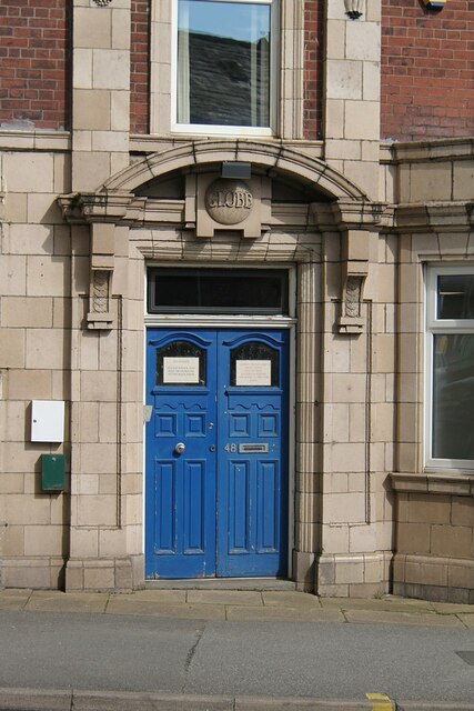
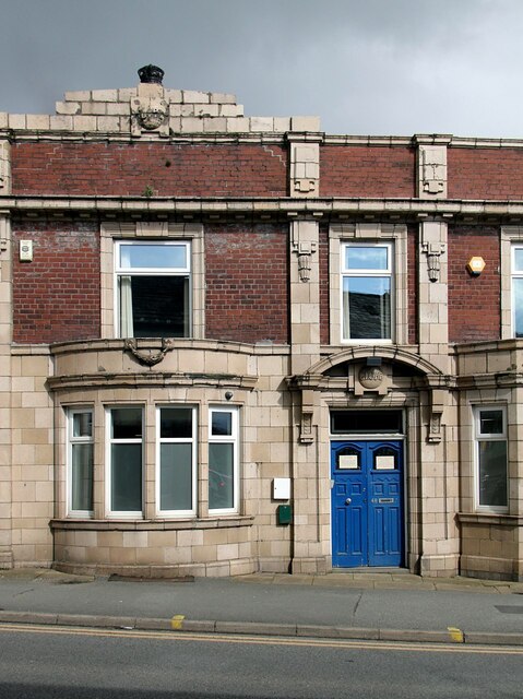
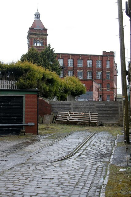
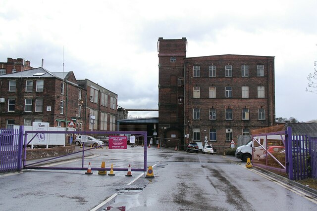
Newbold Images
Images are sourced within 2km of 53.616165/-2.134506 or Grid Reference SD9113. Thanks to Geograph Open Source API. All images are credited.


Newbold is located at Grid Ref: SD9113 (Lat: 53.616165, Lng: -2.134506)
Unitary Authority: Rochdale
Police Authority: Greater Manchester
What 3 Words
///bill.suffice.secure. Near Rochdale, Manchester
Nearby Locations
Related Wikis
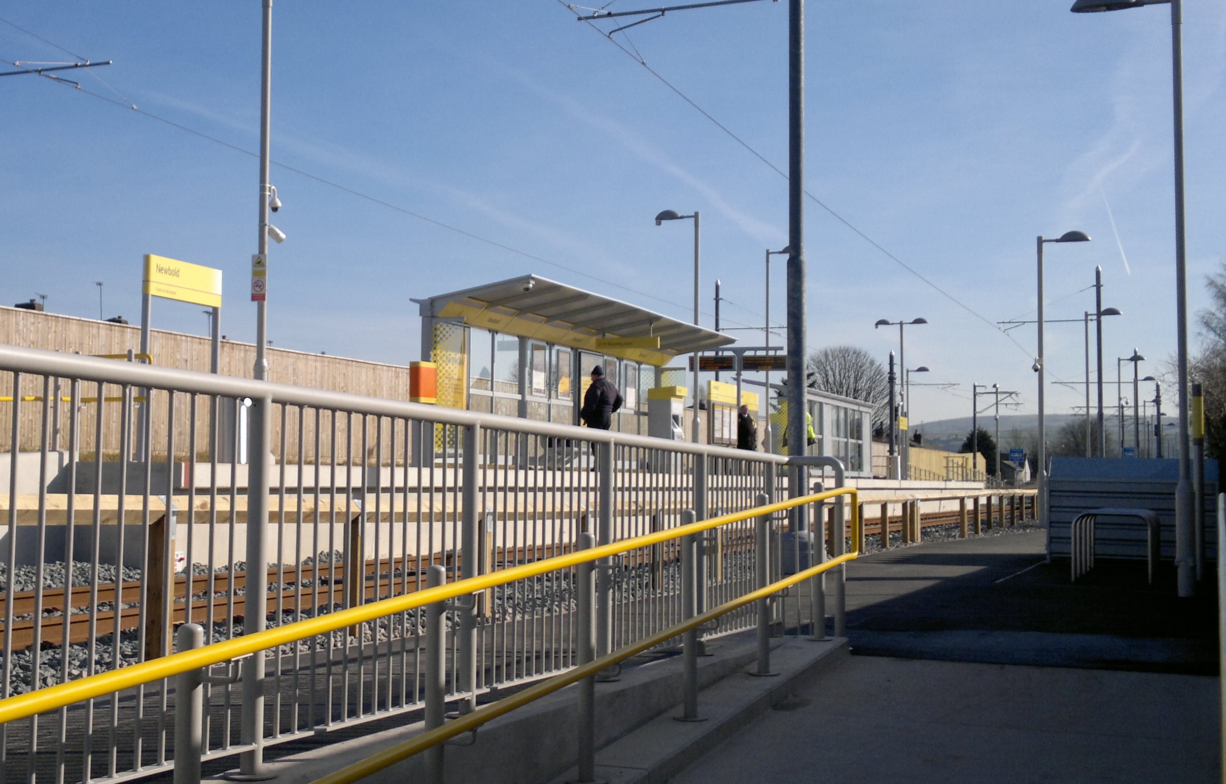
Newbold tram stop
Newbold is a tram stop on the Oldham and Rochdale Line (ORL) of Greater Manchester's Metrolink network. It is located in the Newbold area of Rochdale,...

Athletic Grounds, Rochdale
The Athletic Grounds was a stadium in Rochdale, Greater Manchester, England. It was the home of Rochdale Hornets Rugby League Football Club for over 90...

Belfield, Greater Manchester
Belfield is an area within Rochdale, in Greater Manchester, England. It lies at the confluence of the River Beal and River Roch, 1.3 miles (2.1 km) east...
Milnrow Road
Milnrow Road was a cricket ground in Rochdale, Lancashire. The first recorded match on the ground was in 1868, when the Gentlemen of Rochdale played Australian...
Roch Valley Viaduct
Roch Valley Viaduct was a viaduct built in the 1860s in Rochdale, historically in Lancashire, now within Greater Manchester, that carried the Rochdale...
Moss Brook
Moss Brook is a watercourse in Rochdale, Greater Manchester and a tributary of the River Roch. It originates in Newbold, and flows Northwards to join the...

Stanney Brook
Stanney Brook is a watercourse in Greater Manchester, England. It originates in the Burnedge area of Shaw and Crompton, and flows through Milnrow into...

Hey Brook
Hey Brook is a watercourse in Rochdale, Greater Manchester and a tributary of the River Roch. It originates at the confluence of Buckley Brook and Syke...
Nearby Amenities
Located within 500m of 53.616165,-2.134506Have you been to Newbold?
Leave your review of Newbold below (or comments, questions and feedback).