Mayfield
Settlement in Lancashire
England
Mayfield
Mayfield is a small village situated in Lancashire, England. It is located in the borough of Rossendale, about 5 miles northeast of the town of Rawtenstall. With a population of around 1,500, Mayfield is a close-knit community that retains its rural charm.
The village is surrounded by picturesque countryside, with rolling hills and lush green fields offering beautiful views. Mayfield is known for its peaceful and tranquil atmosphere, making it a popular destination for those seeking a quiet retreat from urban life.
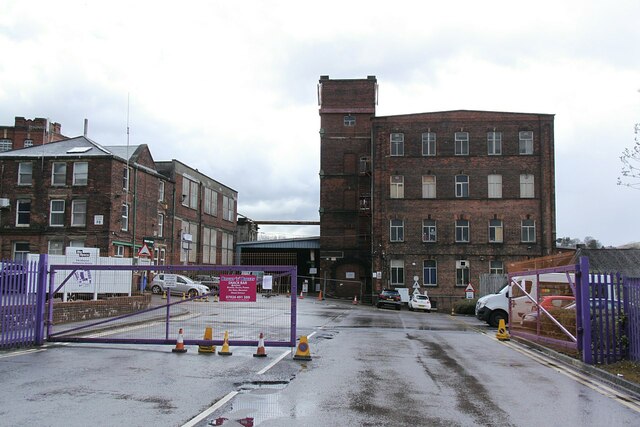
Although Mayfield is primarily a residential area, there are a few amenities available to its residents. The village has a local pub, The Mayfield Inn, which serves as a gathering place for locals and visitors alike. Additionally, there is a small convenience store that provides essential groceries and supplies.
Mayfield is well-connected to neighboring towns and cities. The A682 road passes through the village, providing easy access to Rawtenstall and other nearby areas. Public transportation is available, with regular bus services connecting Mayfield to the wider region.
For outdoor enthusiasts, Mayfield offers plenty of opportunities for recreational activities. The surrounding countryside provides ample space for walking, cycling, and exploring. The nearby Pennine Bridleway and Rossendale Way are popular routes for hikers and nature lovers.
Overall, Mayfield is a charming village that offers a peaceful and idyllic setting. With its beautiful natural surroundings and close-knit community, it is a place where residents can enjoy a relaxed and fulfilling lifestyle.
If you have any feedback on the listing, please let us know in the comments section below.
Mayfield Images
Images are sourced within 2km of 53.622111/-2.135591 or Grid Reference SD9113. Thanks to Geograph Open Source API. All images are credited.

Mayfield is located at Grid Ref: SD9113 (Lat: 53.622111, Lng: -2.135591)
Unitary Authority: Rochdale
Police Authority: Greater Manchester
What 3 Words
///lung.civic.supporter. Near Rochdale, Manchester
Nearby Locations
Related Wikis

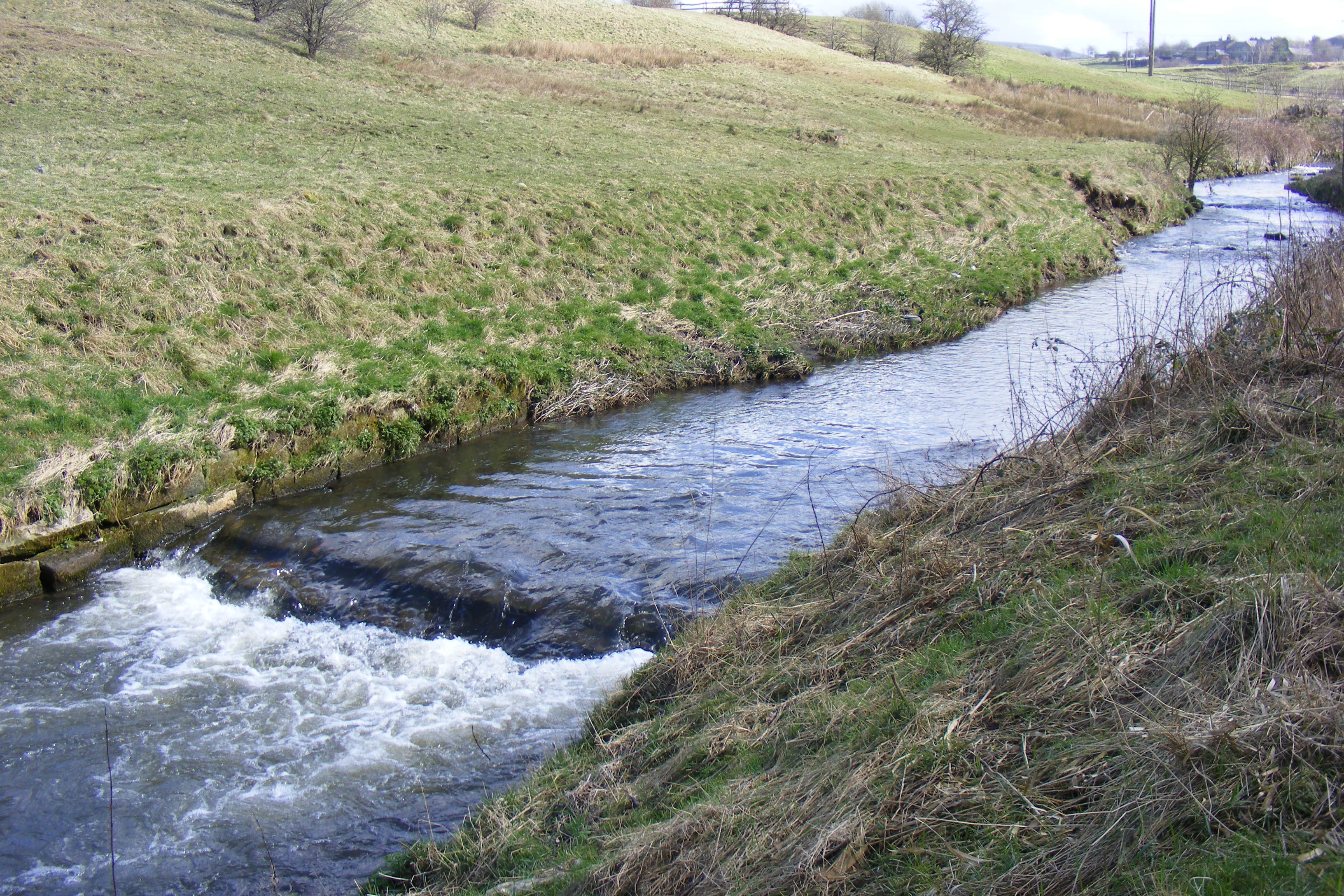
Stanney Brook
Stanney Brook is a watercourse in Greater Manchester, England. It originates in the Burnedge area of Shaw and Crompton, and flows through Milnrow into...

Roch Valley Viaduct
Roch Valley Viaduct was a viaduct built in the 1860s in Rochdale, historically in Lancashire, now within Greater Manchester, that carried the Rochdale...
Arkwright Mill, Rochdale
Arkwright Mill, Rochdale is a cotton spinning mill in Rochdale, Greater Manchester. It was built in 1885 by the Arkwright Cotton Spinning Co. It was taken...

Hey Brook
Hey Brook is a watercourse in Rochdale, Greater Manchester and a tributary of the River Roch. It originates at the confluence of Buckley Brook and Syke...

Belfield, Greater Manchester
Belfield is an area within Rochdale, in Greater Manchester, England. It lies at the confluence of the River Beal and River Roch, 1.3 miles (2.1 km) east...
River Beal
The Beal is a small river in Greater Manchester, England, and is a tributary of the River Roch. It rises in the Beal Valley in green space between Sholver...
Moss Brook
Moss Brook is a watercourse in Rochdale, Greater Manchester and a tributary of the River Roch. It originates in Newbold, and flows Northwards to join the...
Ash Brook
Ash Brook is a watercourse in Greater Manchester and a tributary of the River Roch. == Tributaries == Wardle Brook
Nearby Amenities
Located within 500m of 53.622111,-2.135591Have you been to Mayfield?
Leave your review of Mayfield below (or comments, questions and feedback).