Liddel

Settlement in Orkney

Scotland

Liddel

Brough Ness Southern tip of South Ronaldsay overlooking the Pentland Firth.
Brough Ness Credit: Eirian Evans

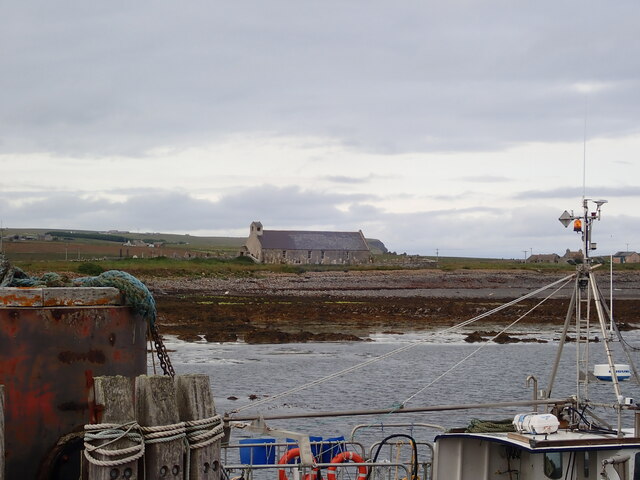
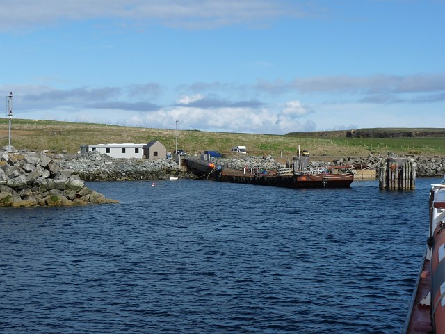
Liddel is a small village located on the island of Orkney, which is situated off the northeastern coast of Scotland. With a population of about 200 people, Liddel is known for its tranquil and picturesque surroundings. The village is nestled between rolling green hills and boasts breathtaking views of the surrounding countryside.

Liddel is primarily an agricultural community, with farming being the main occupation of its residents. The fertile soil and mild climate make it ideal for cultivating crops and rearing livestock. Visitors to Liddel can see vast fields of barley, oats, and potatoes, as well as sheep and cattle grazing on the meadows.

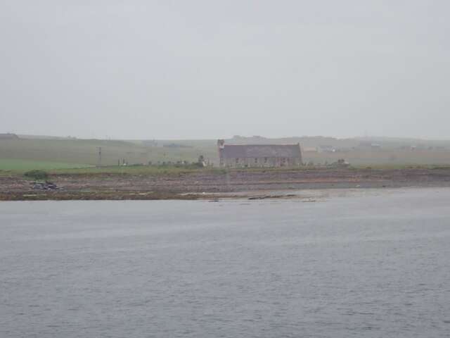
The village itself is charming and retains a traditional Scottish character. It features a scattering of stone houses, some dating back several centuries, alongside more modern buildings. Liddel is also home to a small, quaint church that adds to the village's charm.

Despite its small size, Liddel offers a range of amenities for both locals and visitors. There is a cozy pub where one can enjoy a pint of local ale and savor traditional Scottish cuisine. Additionally, a few small shops provide necessities and local products.

The surrounding area offers plenty of opportunities for outdoor activities. Hiking enthusiasts can explore the nearby hills and enjoy panoramic views of the Orkney landscape. Liddel is also close to several stunning beaches, which are perfect for long walks or picnics.

Overall, Liddel is a peaceful and idyllic village, offering visitors a glimpse into the beauty and tranquility of rural Orkney life.

If you have any feedback on the listing, please let us know in the comments section below.
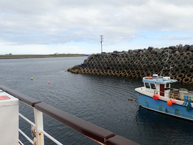
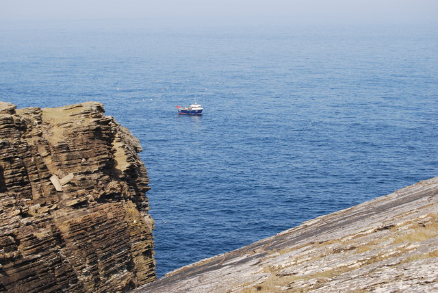
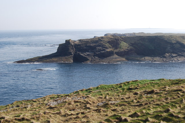
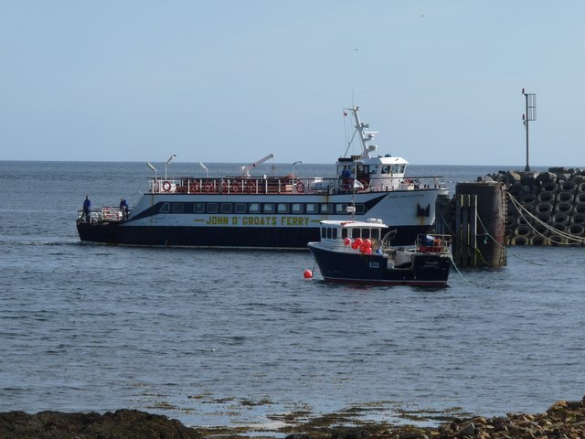
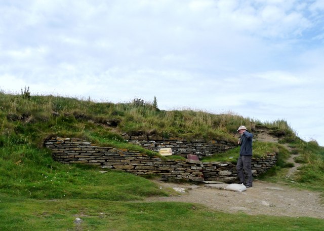
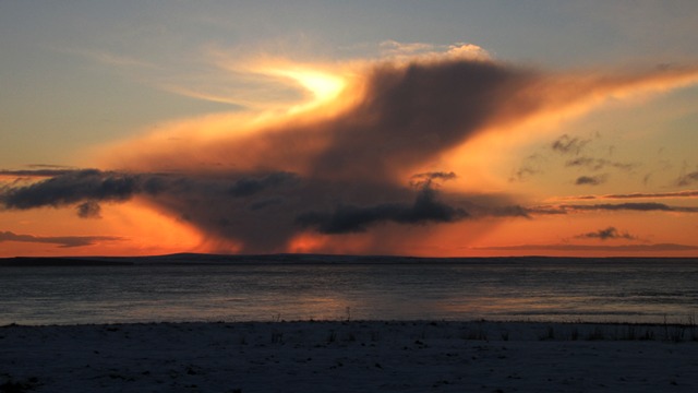
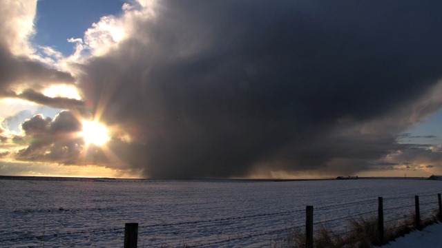
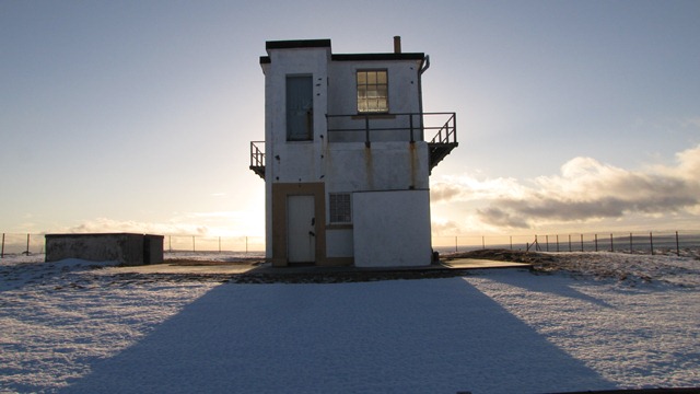
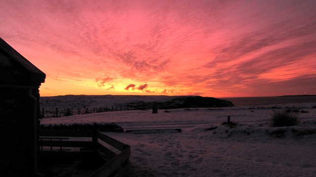
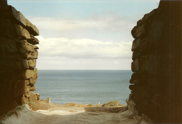
Liddel Images

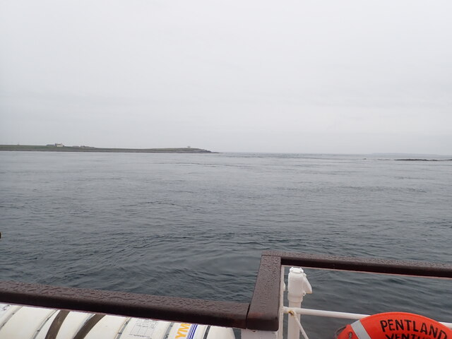
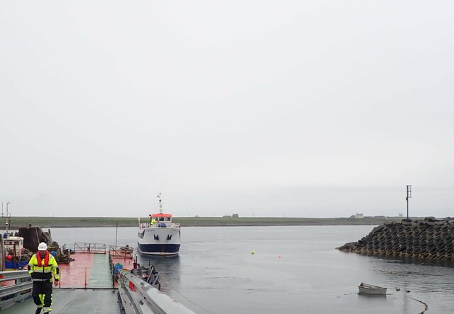
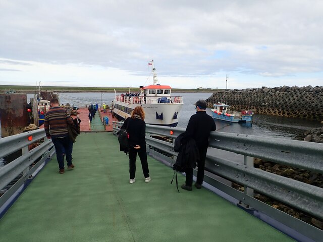
Images are sourced within 2km of 58.739619/-2.9407916 or Grid Reference ND4583. Thanks to Geograph Open Source API. All images are credited.

Brough Ness Southern tip of South Ronaldsay overlooking the Pentland Firth.
Brough Ness
Southern tip of South Ronaldsay overlooking the Pentland Firth.
St Mary's Church, Burwick Old St Mary’s is in the very south of the south parish at Burwick. It is on the site where the first Christian missionaries reputedly arrived in Orkney. The church is thought to have last been used for regular worship around 1959, then used for occasional services until around 1995. It is on the Churches at Risk register, especially since it was struck by lightning in 2013.
St Mary's Church, Burwick
Old St Mary’s is in the very south of the south parish at Burwick. It is on the site where the first Christian missionaries reputedly arrived in Orkney. The church is thought to have last been used for regular worship around 1959, then used for occasional services until around 1995. It is on the Churches at Risk register, especially since it was struck by lightning in 2013.
Pentland Venture ferry at Burwick
Waiting for the ferry at Burwick Pier
St Mary's Church, Burwick A better view of the church than when we arrived earlier in the day <a href="https://www.geograph.org.uk/photo/7443070">ND4384 : St Mary's Church, Burwick</a>. Old St Mary’s is in the very south of the south parish at Burwick. It is on the site where the first Christian missionaries reputedly arrived in Orkney. The church is thought to have last been used for regular worship around 1959, then used for occasional services until around 1995. It is on the Churches at Risk register, especially since it was struck by lightning in 2013.
St Mary's Church, Burwick
A better view of the church than when we arrived earlier in the day ND4384 : St Mary's Church, Burwick. Old St Mary’s is in the very south of the south parish at Burwick. It is on the site where the first Christian missionaries reputedly arrived in Orkney. The church is thought to have last been used for regular worship around 1959, then used for occasional services until around 1995. It is on the Churches at Risk register, especially since it was struck by lightning in 2013.
Breakwater at Burwick Ferry Port
Fishing boat, by the Tomb of the Eagles
View of Hamm geo, from the path away from the Tomb of the Eagles
John o' Groats ferry arrives at Burwick Summer sailings across the Pentland Firth
John o' Groats ferry arrives at Burwick
Summer sailings across the Pentland Firth
Tomb of the Eagles, South Ronaldsay
Sunset
Sunset
Cloudy
Cloudy
Coastguard lookout Brough Ness
Sky on fire
Sky on fire
Bronze Age House at Liddel Farm
Looking out to sea from the Tomb of the Eagles, South Ronaldsay
Approaching the harbour at Burwick, Orkney Islands Taken from the John O'Groats ferry.
Approaching the harbour at Burwick, Orkney Islands
Taken from the John O'Groats ferry.
Cold day
Cold day
Show me another place!

Liddel is located at Grid Ref: ND4583 (Lat: 58.739619, Lng: -2.9407916)

Unitary Authority: Orkney Islands

Police Authority: Highlands and Islands

What 3 Words

///feuds.truly.states. Near St Margaret's Hope, Orkney Islands

Related Wikis

Tomb of the Eagles

The Tomb of the Eagles, or Isbister Chambered Cairn, is a Neolithic chambered tomb located on a cliff edge at Isbister on South Ronaldsay in Orkney, Scotland...
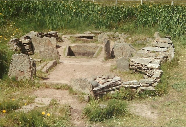
Liddle Burnt Mound

Liddle Burnt Mound is a Bronze Age site on the island of South Ronaldsay, Orkney. The site consists of the remains of a building and a mound that surrounds...

Burwick, Orkney

Burwick () is a small harbour on the island of South Ronaldsay in the Orkney Islands, Scotland. It is the closest Orkney harbour to the Scottish mainland...

HMS Opal (1915)

HMS Opal was an Admiralty M-class destroyer of the Royal Navy. She served in the First World War following her construction at Sunderland in 1915. Attached...

South Ronaldsay

South Ronaldsay (, also , Scots: Sooth Ronalshee) is one of the Orkney Islands off the north coast of Scotland. It is linked to the Orkney Mainland by...

Muckle Skerry

Muckle Skerry is the largest of the Pentland Skerries that lie off the north coast of Scotland. It is home to the Pentland Skerries Lighthouse. Muckle...

SM U-18

SM U-18 was one of 329 submarines serving in the Imperial German Navy in World War I. U-18 engaged in the commerce warfare in the First Battle of the Atlantic...

Pentland Skerries

The Pentland Skerries (Old Norse: Pettlandssker) are a group of four uninhabited islands lying in the Pentland Firth, northeast of Duncansby Head and south...

Nearby Amenities

Located within 500m of 58.739619,-2.9407916
Liddle
Not Name: Liddel
Note Name: OS has Liddel, but locals apparently use Liddle
Place: hamlet
Source Name: http://www.tomboftheeagles.co.uk/
Lat/Long: 58.7375398/-2.9359743
Passing Place
Lat/Long: 58.739034/-2.9350197
Passing Place
Lat/Long: 58.7392461/-2.9328439
Power: pole
Lat/Long: 58.743872/-2.9434267
Power: pole
Lat/Long: 58.7358069/-2.9379085
Power: pole
Lat/Long: 58.7363896/-2.9381044
Power: pole
Lat/Long: 58.7369501/-2.9383054
Power: pole
Lat/Long: 58.7375549/-2.9385139
Power: pole
Lat/Long: 58.7379225/-2.9391343
Power: pole
Lat/Long: 58.7383944/-2.9399079
Power: pole
Lat/Long: 58.739209/-2.9412366
Power: pole
Lat/Long: 58.740141/-2.9420153
Power: pole
Lat/Long: 58.7407431/-2.9422363
Power: pole
Lat/Long: 58.7414157/-2.9424749
Power: pole
Lat/Long: 58.7420647/-2.9427085
Power: pole
Lat/Long: 58.7427099/-2.9429371
Power: pole
Lat/Long: 58.7433433/-2.9431682
Power: pole
Lat/Long: 58.7376879/-2.9372027
Power: pole
Lat/Long: 58.7378065/-2.9359745
Power: pole
Lat/Long: 58.7379212/-2.9348165
Power: pole
Lat/Long: 58.7380359/-2.9335531
The data included in this document is from www.openstreetmap.org. The data is made available under ODbL.

Have you been to Liddel?

Leave your review of Liddel below (or comments, questions and feedback).