Liddel Ayre

Bay in Orkney

Scotland

Liddel Ayre

Brough Ness Southern tip of South Ronaldsay overlooking the Pentland Firth.
Brough Ness Credit: Eirian Evans

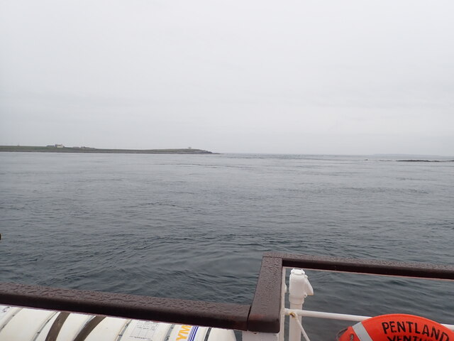
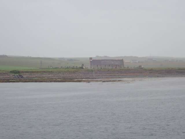
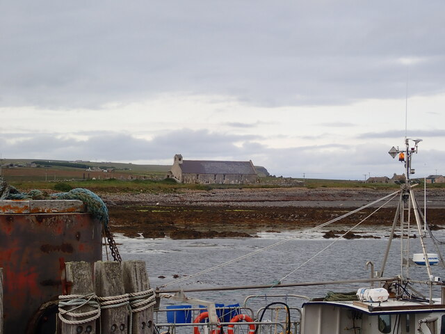
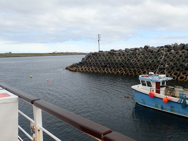
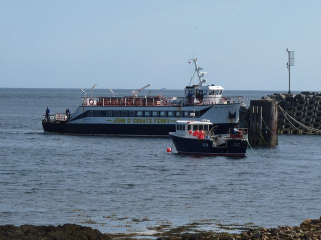
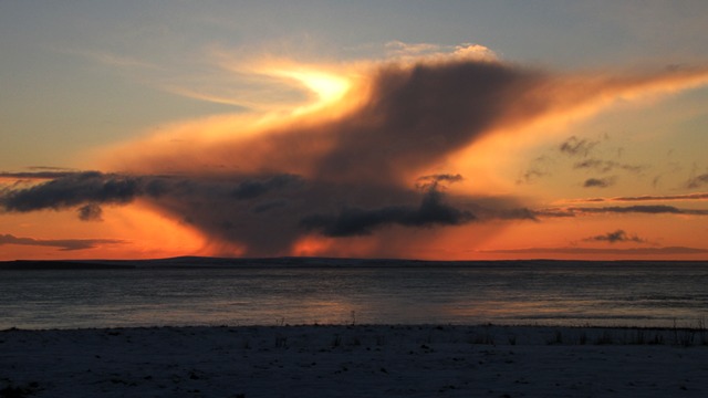
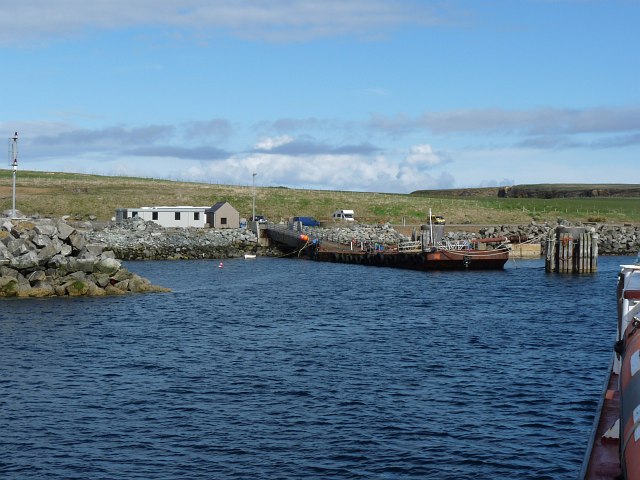
Liddel Ayre is a stunning bay located on the west coast of the Orkney mainland in Scotland. With its picturesque landscape and tranquil surroundings, it is a popular destination for locals and tourists alike.

The bay is characterized by its pristine sandy beach, which stretches for approximately 2 miles, offering ample opportunities for leisurely walks or sunbathing. The crystal-clear turquoise waters of the bay are perfect for swimming, and visitors can also indulge in various water activities such as kayaking or paddleboarding.

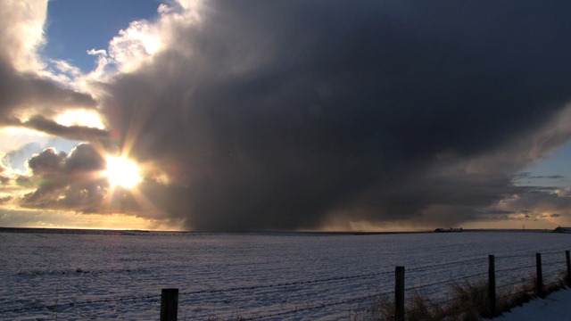
Liddel Ayre is known for its rich biodiversity and serves as a vital habitat for numerous bird species, including the Arctic tern, oystercatcher, and curlew. Birdwatchers flock to the area to witness the captivating sight of these birds in their natural habitat. Additionally, seals and occasionally dolphins can be spotted in the bay, providing an extra dose of excitement for nature enthusiasts.

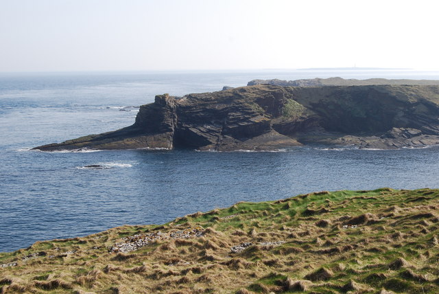
The bay is surrounded by rolling hills and stunning cliffs, offering breathtaking views of the surrounding landscape. It is a popular spot for hikers and photographers, who are rewarded with magnificent vistas of the Orkney coastline and the nearby islands.

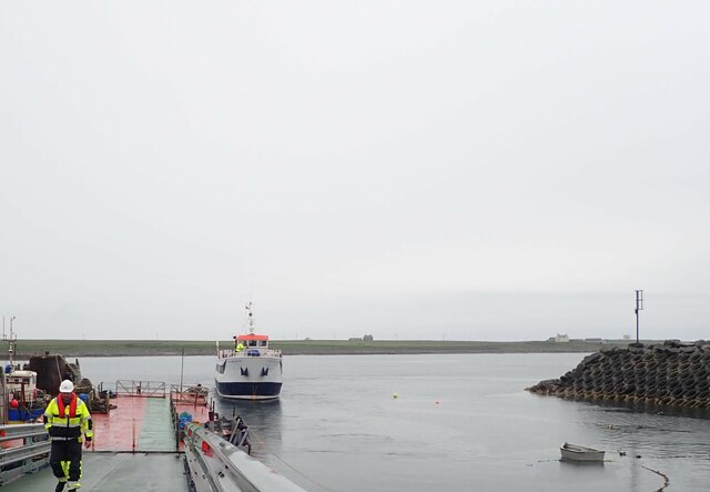
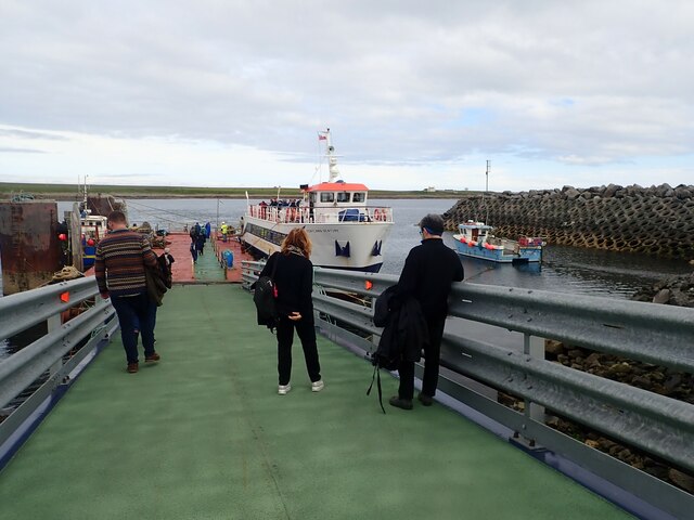
Liddel Ayre is easily accessible by road, with ample parking available nearby. The bay is also equipped with basic facilities such as public toilets and picnic areas, making it an ideal destination for a day trip or a family outing.

Overall, Liddel Ayre is a hidden gem in Orkney, offering a peaceful and idyllic setting for nature lovers, beach enthusiasts, and those seeking a break from the hustle and bustle of everyday life.

If you have any feedback on the listing, please let us know in the comments section below.

Liddel Ayre Images

Images are sourced within 2km of 58.732286/-2.9426836 or Grid Reference ND4583. Thanks to Geograph Open Source API. All images are credited.

Brough Ness Southern tip of South Ronaldsay overlooking the Pentland Firth.
Brough Ness
Southern tip of South Ronaldsay overlooking the Pentland Firth.
St Mary's Church, Burwick Old St Mary’s is in the very south of the south parish at Burwick. It is on the site where the first Christian missionaries reputedly arrived in Orkney. The church is thought to have last been used for regular worship around 1959, then used for occasional services until around 1995. It is on the Churches at Risk register, especially since it was struck by lightning in 2013.
St Mary's Church, Burwick
Old St Mary’s is in the very south of the south parish at Burwick. It is on the site where the first Christian missionaries reputedly arrived in Orkney. The church is thought to have last been used for regular worship around 1959, then used for occasional services until around 1995. It is on the Churches at Risk register, especially since it was struck by lightning in 2013.
Pentland Venture ferry at Burwick
Waiting for the ferry at Burwick Pier
St Mary's Church, Burwick A better view of the church than when we arrived earlier in the day <a href="https://www.geograph.org.uk/photo/7443070">ND4384 : St Mary's Church, Burwick</a>. Old St Mary’s is in the very south of the south parish at Burwick. It is on the site where the first Christian missionaries reputedly arrived in Orkney. The church is thought to have last been used for regular worship around 1959, then used for occasional services until around 1995. It is on the Churches at Risk register, especially since it was struck by lightning in 2013.
St Mary's Church, Burwick
A better view of the church than when we arrived earlier in the day ND4384 : St Mary's Church, Burwick. Old St Mary’s is in the very south of the south parish at Burwick. It is on the site where the first Christian missionaries reputedly arrived in Orkney. The church is thought to have last been used for regular worship around 1959, then used for occasional services until around 1995. It is on the Churches at Risk register, especially since it was struck by lightning in 2013.
Breakwater at Burwick Ferry Port
View of Hamm geo, from the path away from the Tomb of the Eagles
John o' Groats ferry arrives at Burwick Summer sailings across the Pentland Firth
John o' Groats ferry arrives at Burwick
Summer sailings across the Pentland Firth
Sunset
Sunset
Cloudy
Cloudy
Coastguard lookout Brough Ness
Sky on fire
Sky on fire
Bronze Age House at Liddel Farm
Approaching the harbour at Burwick, Orkney Islands Taken from the John O'Groats ferry.
Approaching the harbour at Burwick, Orkney Islands
Taken from the John O'Groats ferry.
Cold day
Cold day
Old Ambulance An old World War Two German ambulance subsequently used as a caravan and abandoned near the Bronze Age burnt mound
Old Ambulance
An old World War Two German ambulance subsequently used as a caravan and abandoned near the Bronze Age burnt mound
Bronze Age House The remains of a bronze age house
Bronze Age House
The remains of a bronze age house
Cliffs at Ham Geo The cliffs at Ham Geo
Cliffs at Ham Geo
The cliffs at Ham Geo
Show me another place!

Liddel Ayre is located at Grid Ref: ND4583 (Lat: 58.732286, Lng: -2.9426836)

Unitary Authority: Orkney Islands

Police Authority: Highlands and Islands

What 3 Words

///sharpened.voucher.command. Near St Margaret's Hope, Orkney Islands

Related Wikis

Burwick, Orkney

Burwick () is a small harbour on the island of South Ronaldsay in the Orkney Islands, Scotland. It is the closest Orkney harbour to the Scottish mainland...

Tomb of the Eagles

The Tomb of the Eagles, or Isbister Chambered Cairn, is a Neolithic chambered tomb located on a cliff edge at Isbister on South Ronaldsay in Orkney, Scotland...
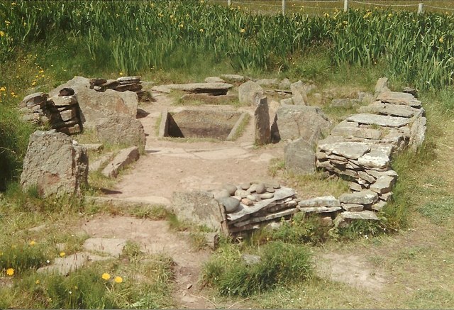
Liddle Burnt Mound

Liddle Burnt Mound is a Bronze Age site on the island of South Ronaldsay, Orkney. The site consists of the remains of a building and a mound that surrounds...

HMS Opal (1915)

HMS Opal was an Admiralty M-class destroyer of the Royal Navy. She served in the First World War following her construction at Sunderland in 1915. Attached...

Nearby Amenities

Located within 500m of 58.732286,-2.9426836
Parking
Wheelchair: yes
Lat/Long: 58.7347475/-2.937649
Cafe
Skerries Bistro
Toilets: yes
Toilets Wheelchair: yes
Wheelchair: yes
Lat/Long: 58.7346103/-2.9377323
Banks Head
Place: locality
Lat/Long: 58.7327109/-2.9341065
Tomb of the Otters
Historic: archaeological_site
Toilets Wheelchair: yes
Wheelchair: yes
Lat/Long: 58.7348076/-2.9379061
Power: pole
Lat/Long: 58.7347314/-2.938446
Power: pole
Lat/Long: 58.7351577/-2.9376724
Power: pole
Lat/Long: 58.7358069/-2.9379085
The data included in this document is from www.openstreetmap.org. The data is made available under ODbL.

Have you been to Liddel Ayre?

Leave your review of Liddel Ayre below (or comments, questions and feedback).