Castni Geo
Coastal Feature, Headland, Point in Orkney
Scotland
Castni Geo
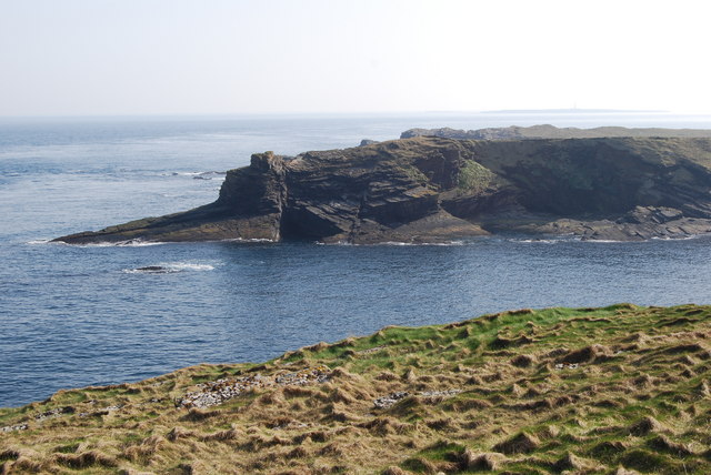
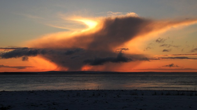
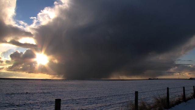
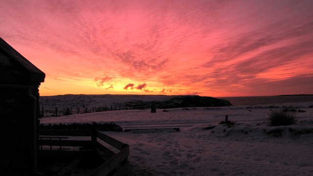
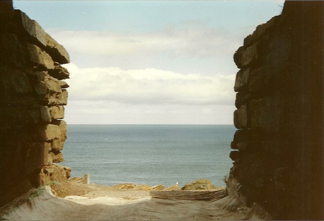
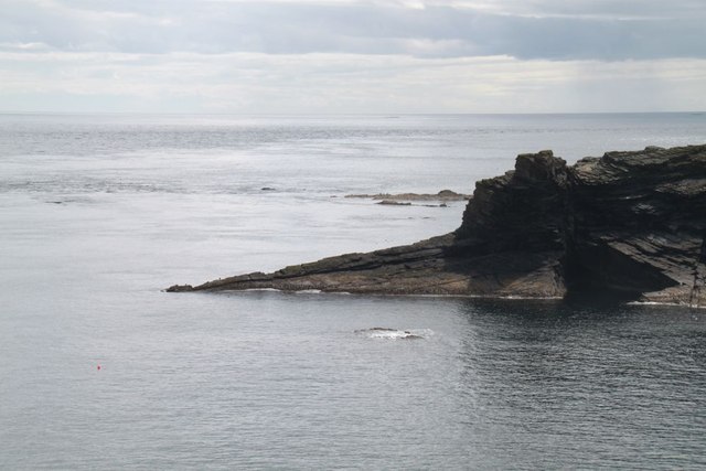
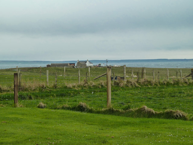
Castni Geo is a prominent coastal feature located in Orkney, an archipelago in Scotland. It is specifically situated on the western coast of the mainland, near the village of Birsay. Castni Geo is a headland that juts out into the North Atlantic Ocean, forming a distinctive and visually striking point along the coastline.
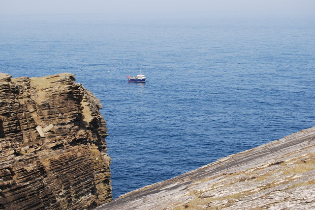
This coastal feature is characterized by its rugged cliffs, which rise steeply from the sea to a height of approximately 50 meters. The cliffs are composed of sedimentary rocks, displaying layers of sandstone and shale, which have been shaped by years of erosion from the relentless ocean waves. The dramatic vertical drop of the cliffs creates a sense of awe-inspiring grandeur as they overlook the vast expanse of the ocean.
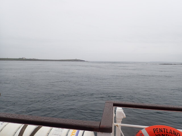
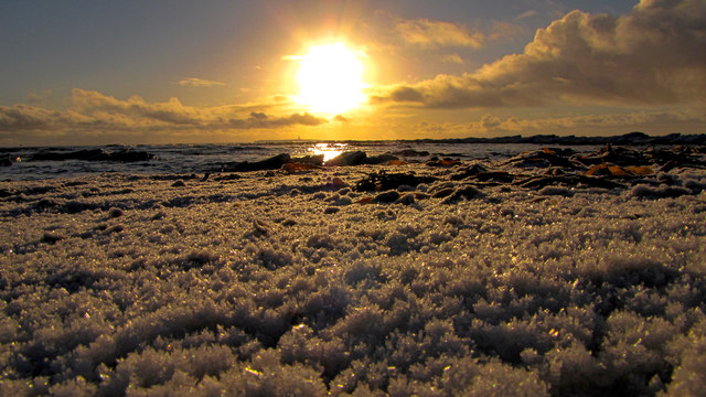
Castni Geo offers breathtaking panoramic views of the surrounding landscape. From this vantage point, visitors can witness the wild beauty of the Atlantic Ocean, with its crashing waves and occasional sea spray. On clear days, the views extend far out to sea, allowing for sightings of seabirds, such as gannets and fulmars, swooping and gliding above the water.
Due to its exposed location, Castni Geo can be subject to strong winds and rough seas, making it a popular spot for nature enthusiasts and photographers seeking to capture the raw power of the ocean. The headland is accessible via a coastal path, which allows visitors to explore the area safely while enjoying the stunning natural beauty that Castni Geo has to offer.
If you have any feedback on the listing, please let us know in the comments section below.
Castni Geo Images
Images are sourced within 2km of 58.733837/-2.9380791 or Grid Reference ND4583. Thanks to Geograph Open Source API. All images are credited.


Castni Geo is located at Grid Ref: ND4583 (Lat: 58.733837, Lng: -2.9380791)
Unitary Authority: Orkney Islands
Police Authority: Highlands and Islands
What 3 Words
///loaf.covertly.flips. Near St Margaret's Hope, Orkney Islands
Nearby Locations
Related Wikis

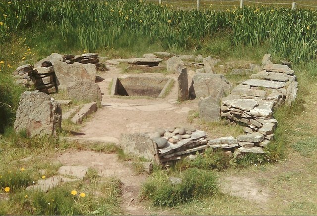
Tomb of the Eagles
The Tomb of the Eagles, or Isbister Chambered Cairn, is a Neolithic chambered tomb located on a cliff edge at Isbister on South Ronaldsay in Orkney, Scotland...

Liddle Burnt Mound
Liddle Burnt Mound is a Bronze Age site on the island of South Ronaldsay, Orkney. The site consists of the remains of a building and a mound that surrounds...

Burwick, Orkney
Burwick () is a small harbour on the island of South Ronaldsay in the Orkney Islands, Scotland. It is the closest Orkney harbour to the Scottish mainland...

HMS Opal (1915)
HMS Opal was an Admiralty M-class destroyer of the Royal Navy. She served in the First World War following her construction at Sunderland in 1915. Attached...

Muckle Skerry
Muckle Skerry is the largest of the Pentland Skerries that lie off the north coast of Scotland. It is home to the Pentland Skerries Lighthouse. Muckle...

South Ronaldsay
South Ronaldsay (, also , Scots: Sooth Ronalshee) is one of the Orkney Islands off the north coast of Scotland. It is linked to the Orkney Mainland by...

SM U-18
SM U-18 was one of 329 submarines serving in the Imperial German Navy in World War I. U-18 engaged in the commerce warfare in the First Battle of the Atlantic...

Pentland Skerries
The Pentland Skerries (Old Norse: Pettlandssker) are a group of four uninhabited islands lying in the Pentland Firth, northeast of Duncansby Head and south...
Nearby Amenities
Located within 500m of 58.733837,-2.9380791Have you been to Castni Geo?
Leave your review of Castni Geo below (or comments, questions and feedback).