Banks Geo
Coastal Feature, Headland, Point in Orkney
Scotland
Banks Geo
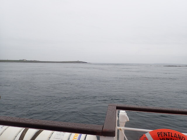
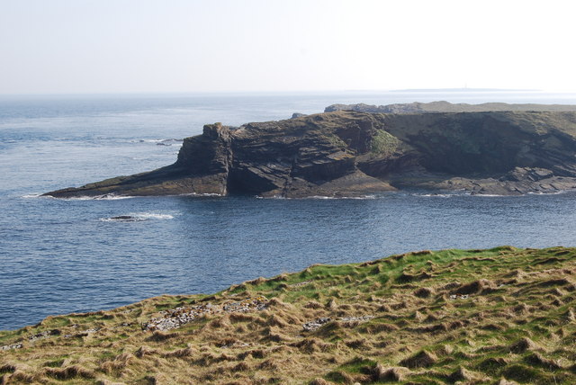
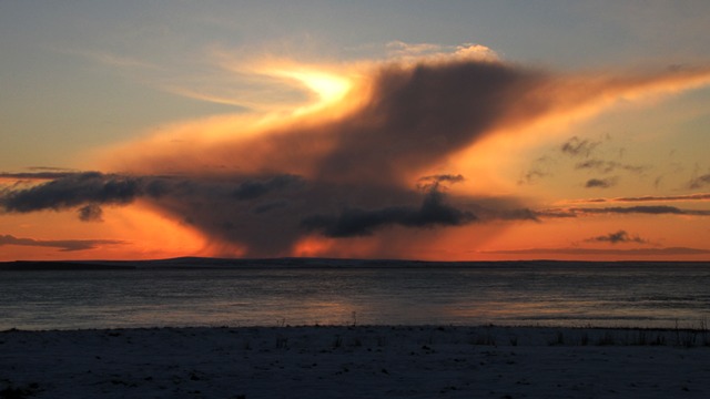
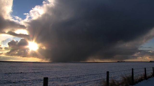
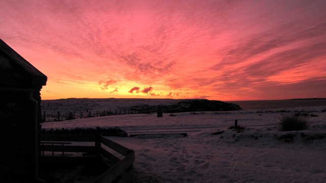
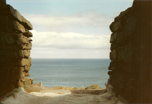
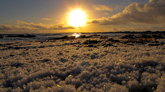
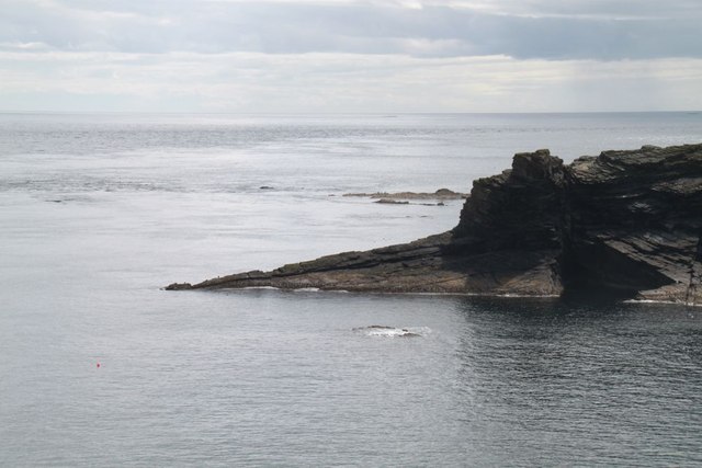
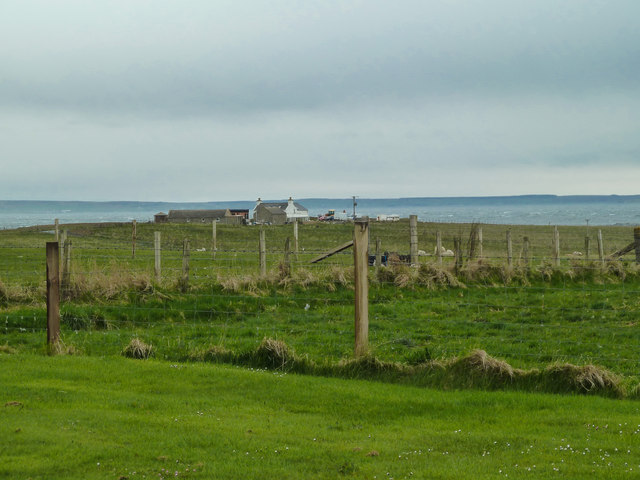
Banks Geo is a prominent coastal feature located on the island of Orkney, which is situated off the northeastern coast of Scotland. It is classified as a headland or a point, protruding out into the North Sea. Banks Geo is known for its rugged and dramatic cliffs that rise steeply from the sea, providing breathtaking panoramic views of the surrounding landscape.
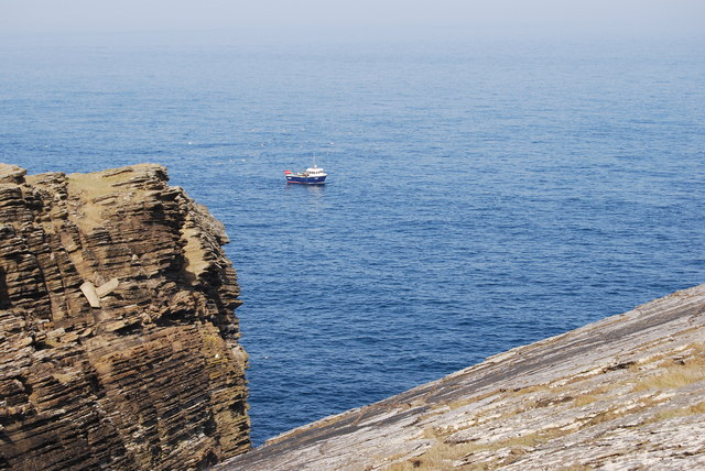
The headland is composed of layered sandstone and is characterized by its distinctive red and orange hues, making it a visually striking feature. These rock formations have been shaped by the relentless forces of wind and water over millions of years, resulting in the creation of caves, arches, and stacks along the coastline of Banks Geo.
The area is also home to a diverse range of marine and bird life, attracting nature enthusiasts and birdwatchers from around the world. Seabirds such as puffins, guillemots, and razorbills can be spotted nesting on the cliffs, while seals and dolphins are often seen swimming in the surrounding waters.
Banks Geo is a popular destination for outdoor activities such as hiking, photography, and wildlife observation. It offers several walking trails that allow visitors to explore the headland and its unique geological features up close. Additionally, the location provides opportunities for fishing and diving, adding to its appeal for adventure seekers.
Overall, Banks Geo in Orkney is a captivating coastal feature that showcases the raw beauty of nature, offering visitors a chance to immerse themselves in its striking landscapes and abundant wildlife.
If you have any feedback on the listing, please let us know in the comments section below.
Banks Geo Images
Images are sourced within 2km of 58.734133/-2.9369297 or Grid Reference ND4583. Thanks to Geograph Open Source API. All images are credited.


Banks Geo is located at Grid Ref: ND4583 (Lat: 58.734133, Lng: -2.9369297)
Unitary Authority: Orkney Islands
Police Authority: Highlands and Islands
What 3 Words
///trapdoor.responded.unwound. Near St Margaret's Hope, Orkney Islands
Nearby Locations
Related Wikis

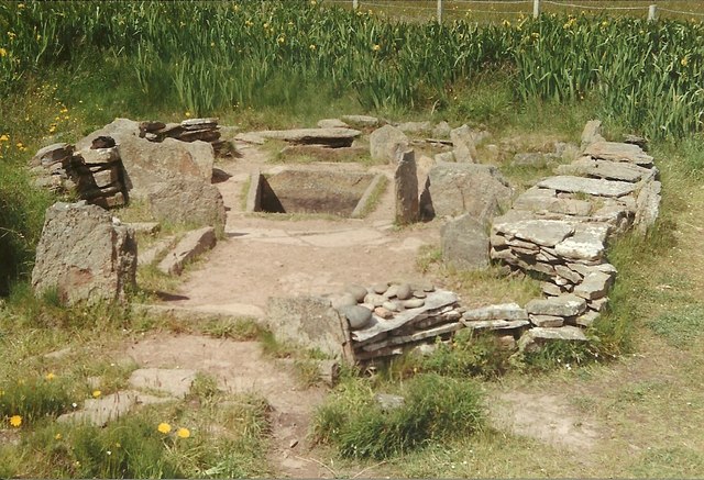
Tomb of the Eagles
The Tomb of the Eagles, or Isbister Chambered Cairn, is a Neolithic chambered tomb located on a cliff edge at Isbister on South Ronaldsay in Orkney, Scotland...

Liddle Burnt Mound
Liddle Burnt Mound is a Bronze Age site on the island of South Ronaldsay, Orkney. The site consists of the remains of a building and a mound that surrounds...

Burwick, Orkney
Burwick () is a small harbour on the island of South Ronaldsay in the Orkney Islands, Scotland. It is the closest Orkney harbour to the Scottish mainland...

HMS Opal (1915)
HMS Opal was an Admiralty M-class destroyer of the Royal Navy. She served in the First World War following her construction at Sunderland in 1915. Attached...
Nearby Amenities
Located within 500m of 58.734133,-2.9369297Have you been to Banks Geo?
Leave your review of Banks Geo below (or comments, questions and feedback).