Liddel Loch
Lake, Pool, Pond, Freshwater Marsh in Orkney
Scotland
Liddel Loch

Liddel Loch, located in Orkney, Scotland, is a picturesque freshwater loch renowned for its scenic beauty and diverse ecosystem. Spread over an area of approximately 15 acres, the loch is surrounded by gently rolling hills and verdant vegetation, making it a haven for nature enthusiasts and birdwatchers.
The tranquil waters of Liddel Loch are home to a rich variety of aquatic life, including several species of fish such as brown trout and perch. These fish thrive in the loch's clear waters, which are fed by natural springs and rainwater runoff. Additionally, the presence of submerged vegetation provides a favorable habitat for insects, amphibians, and invertebrates, contributing to the overall biodiversity of the loch.
The surrounding marshland acts as a natural filter, purifying the water and creating an ideal habitat for numerous bird species. Liddel Loch is particularly renowned for its birdlife, with regular sightings of wading birds like curlews, redshanks, and lapwings. During the breeding season, the loch becomes a nesting site for various waterfowl, including mallards, tufted ducks, and teal.
Visitors to Liddel Loch can explore the area through well-maintained footpaths that meander around the loch and offer stunning views of the surrounding landscape. The loch also provides opportunities for recreational activities like fishing and boating, with several designated spots around its perimeter.
Overall, Liddel Loch is a tranquil freshwater body that not only enhances the natural beauty of Orkney but also supports a diverse array of wildlife, making it a cherished destination for both locals and tourists alike.
If you have any feedback on the listing, please let us know in the comments section below.
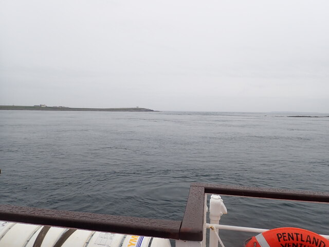
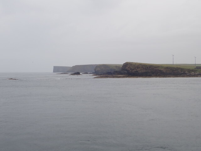
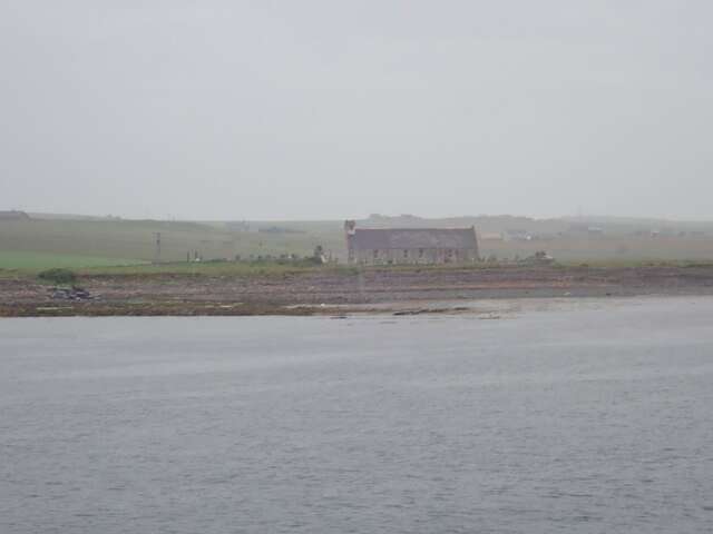
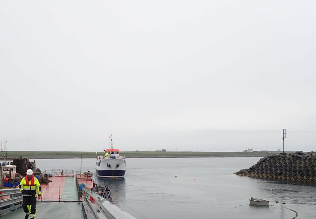
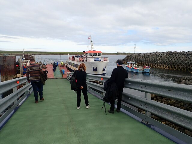
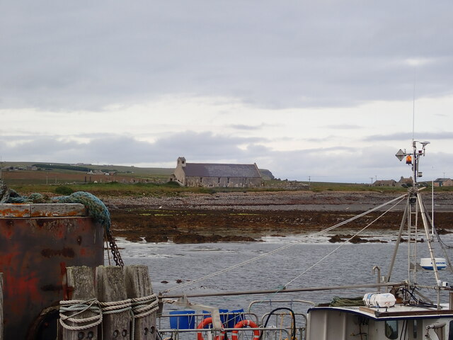
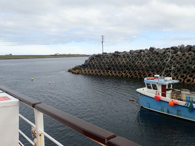
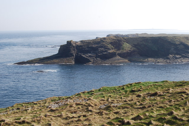
Liddel Loch Images
Images are sourced within 2km of 58.735177/-2.9452665 or Grid Reference ND4583. Thanks to Geograph Open Source API. All images are credited.


Liddel Loch is located at Grid Ref: ND4583 (Lat: 58.735177, Lng: -2.9452665)
Unitary Authority: Orkney Islands
Police Authority: Highlands and Islands
What 3 Words
///scrum.melons.scaffold. Near St Margaret's Hope, Orkney Islands
Nearby Locations
Related Wikis

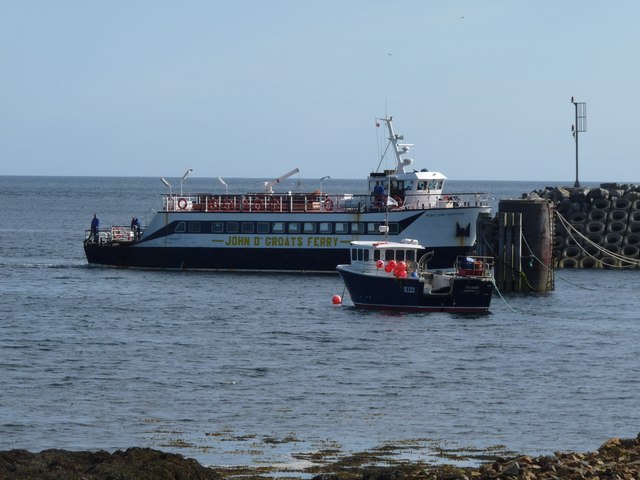
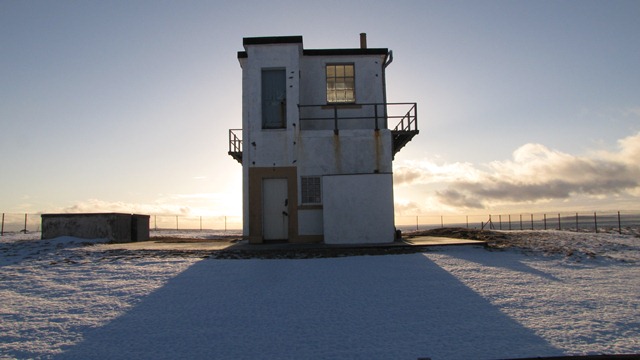
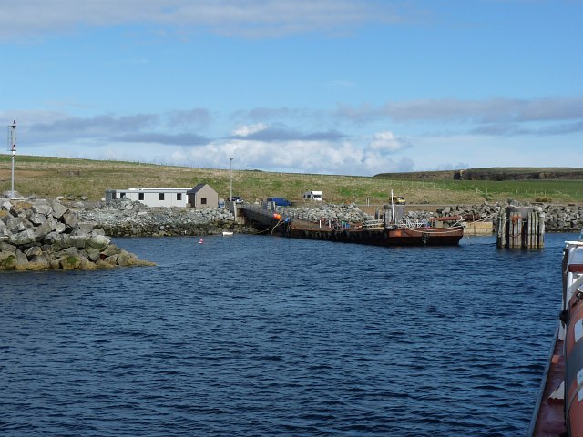
Burwick, Orkney
Burwick () is a small harbour on the island of South Ronaldsay in the Orkney Islands, Scotland. It is the closest Orkney harbour to the Scottish mainland...

Tomb of the Eagles
The Tomb of the Eagles, or Isbister Chambered Cairn, is a Neolithic chambered tomb located on a cliff edge at Isbister on South Ronaldsay in Orkney, Scotland...

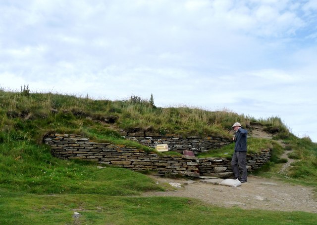
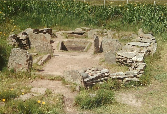
Liddle Burnt Mound
Liddle Burnt Mound is a Bronze Age site on the island of South Ronaldsay, Orkney. The site consists of the remains of a building and a mound that surrounds...

HMS Opal (1915)
HMS Opal was an Admiralty M-class destroyer of the Royal Navy. She served in the First World War following her construction at Sunderland in 1915. Attached...
Nearby Amenities
Located within 500m of 58.735177,-2.9452665Have you been to Liddel Loch?
Leave your review of Liddel Loch below (or comments, questions and feedback).