Shielswood Loch

Lake, Pool, Pond, Freshwater Marsh in Roxburghshire

Scotland

Shielswood Loch

Mowing stripes on Cringie Law Pasture improvement off the Hill Road.
Mowing stripes on Cringie Law Credit: Richard Webb

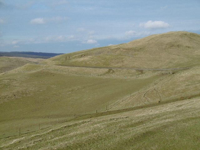
Shielswood Loch, located in Roxburghshire, Scotland, is a picturesque freshwater loch that encompasses an area of approximately 10 hectares. Nestled amidst the scenic Scottish Borders countryside, this tranquil waterbody is renowned for its natural beauty and diverse ecosystem.

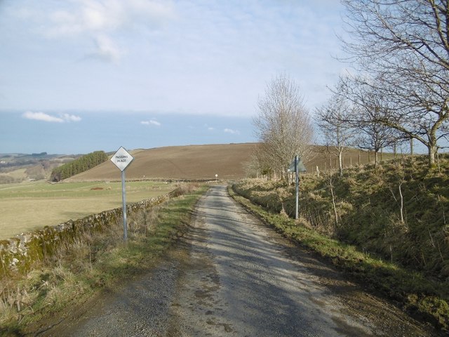
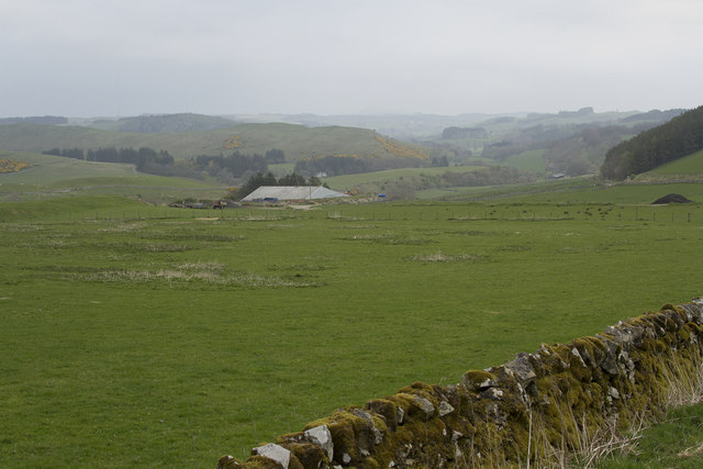
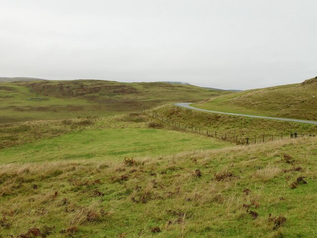
The loch, also known as a lake, is surrounded by rolling hills and verdant vegetation, providing a serene and idyllic setting for both locals and visitors alike. Its crystal-clear waters are fed by several small streams, ensuring a constant flow of fresh water.

Shielswood Loch is home to a rich array of flora and fauna. The surrounding marshes provide a haven for various species of waterfowl, including ducks, geese, and swans. Birdwatching enthusiasts will delight in observing the graceful flight and nesting habits of these avian residents.

The loch also supports a diverse range of aquatic life, including numerous fish species and amphibians. Anglers are drawn to Shielswood Loch for its excellent fishing opportunities, with trout being the most commonly sought-after catch.

Visitors to Shielswood Loch can partake in a variety of recreational activities. Fishing enthusiasts can cast their lines from the shore or hire a boat and explore the deeper areas of the loch. Nature enthusiasts can take leisurely walks along the loch's perimeter, marveling at the stunning vistas and observing the local wildlife.

Overall, Shielswood Loch is a captivating freshwater loch that offers a peaceful retreat from the hustle and bustle of everyday life. Its natural beauty, diverse ecosystem, and recreational opportunities make it a popular destination for those seeking solace in the tranquility of nature.

If you have any feedback on the listing, please let us know in the comments section below.

Shielswood Loch Images

Images are sourced within 2km of 55.462603/-2.8657754 or Grid Reference NT4519. Thanks to Geograph Open Source API. All images are credited.

Mowing stripes on Cringie Law Pasture improvement off the Hill Road.
Mowing stripes on Cringie Law
Pasture improvement off the Hill Road.
Roadside tump Pile of earth with windswept webs in anticyclonic conditions.  At first I thought it was steaming fresh manure.
Roadside tump
Pile of earth with windswept webs in anticyclonic conditions. At first I thought it was steaming fresh manure.
A strip wood View past a shelterbelt to the new wind farm on Belmanshaws, between here and Ettrick Bridge,
A strip wood
View past a shelterbelt to the new wind farm on Belmanshaws, between here and Ettrick Bridge,
Ashkirk to Roberton road Just before sunset with not a lot of shorter wavelengths in the light.  Last day of anticyclonic weather before the gloom set in and normal November service resumed.
Ashkirk to Roberton road
Just before sunset with not a lot of shorter wavelengths in the light. Last day of anticyclonic weather before the gloom set in and normal November service resumed.
The Hill Road from Roberton A scenic single track road over hills to the west of Hawick.
The Hill Road from Roberton
A scenic single track road over hills to the west of Hawick.
Threep Head Upland grazing north of Roberton.
Threep Head
Upland grazing north of Roberton.
A steaming pile Muck dumped at the side of the Roberton to Ashkirk road.
A steaming pile
Muck dumped at the side of the Roberton to Ashkirk road.
Stell beneath Horn Hill Traditional Borders circular sheepfold.
Stell beneath Horn Hill
Traditional Borders circular sheepfold.
Horn Hill Hill grazing beside the Ashkirk to Roberton road.
Horn Hill
Hill grazing beside the Ashkirk to Roberton road.
Roberton to Ashkirk road
A minor road with passing places In the whole length of this minor road we met a single vehicle in each direction.
A minor road with passing places
In the whole length of this minor road we met a single vehicle in each direction.
An old circular sheepfold The sheepfold is constructed with dry stone walling. It is used to hold the sheep temporarily for one reason or another.
An old circular sheepfold
The sheepfold is constructed with dry stone walling. It is used to hold the sheep temporarily for one reason or another.
Dropping down to the Ale Valley The road now has dry stone walls and we are descending to the Ale River.
Dropping down to the Ale Valley
The road now has dry stone walls and we are descending to the Ale River.
Old Milestone below Cringle Law, Ashkirk parish Milestone by the UC road, in parish of Ashkirk (Selkirk District), Cringle Law, on unfenced overgrown verge, East side of road.

Inscription once read:-
(Selkirk)
(9)

Surveyed

Milestone Society National ID: BD_SKBT09
Old Milestone below Cringle Law, Ashkirk parish
Milestone by the UC road, in parish of Ashkirk (Selkirk District), Cringle Law, on unfenced overgrown verge, East side of road. Inscription once read:- (Selkirk) (9) Surveyed Milestone Society National ID: BD_SKBT09
Hill road to Roberton Ashkirk to Roberton road passing Horn Hill.
Hill road to Roberton
Ashkirk to Roberton road passing Horn Hill.
Moorland minor road near to Weavers Moss Looking north-eastward.
Moorland minor road near to Weavers Moss
Looking north-eastward.
Moorland minor road Looking north-eastward towards Horn Hill.
Moorland minor road
Looking north-eastward towards Horn Hill.
Minor road and somewhat obsolete cattle grid Looking south-westward in the direction of Horn Hill.
Minor road and somewhat obsolete cattle grid
Looking south-westward in the direction of Horn Hill.
Show me another place!

Shielswood Loch is located at Grid Ref: NT4519 (Lat: 55.462603, Lng: -2.8657754)

Unitary Authority: The Scottish Borders

Police Authority: The Lothians and Scottish Borders

What 3 Words

///admiral.friction.interlude. Near Hawick, Scottish Borders

Nearby Locations

Shielswood Loch

Related Wikis

Salenside

Salenside is a village off the A7, on the Ale Water, near Ashkirk, in the Scottish Borders area of Scotland, in the former Selkirkshire. There was a Salenside...

Ashkirk

Ashkirk is a small village on the Ale Water, in the Scottish Borders area of Scotland. It is located just off the A7 road, approximately 6 miles (10 kilometres...

Woll, Scottish Borders

Woll is a village on the Ale Water, off the A7, in the Ettrick Forest, north of Hawick, and south of Selkirk in the Scottish Borders area of Scotland....

Harden Castle

Harden Castle is a 16th century tower house, about 3.5 miles (5.6 km) west of Hawick, Scottish Borders. It is alternatively known as Harden House or Harden...

Nearby Amenities

Located within 500m of 55.462603,-2.8657754
The data included in this document is from www.openstreetmap.org. The data is made available under ODbL.

Have you been to Shielswood Loch?

Leave your review of Shielswood Loch below (or comments, questions and feedback).