Yair Boat Stream

Lake, Pool, Pond, Freshwater Marsh in Selkirkshire

Scotland

Yair Boat Stream

Autumnal tree, Yair Hill Forest A tree standing out at the edge of the forest seen from Yair Hope.
Autumnal tree, Yair Hill Forest Credit: Jim Barton

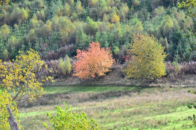
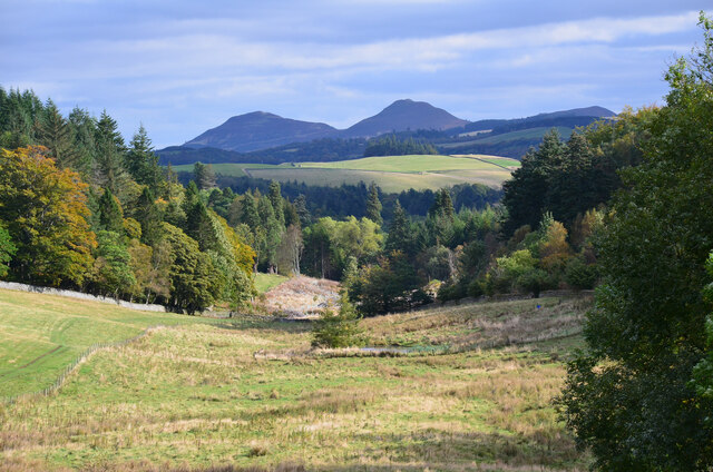
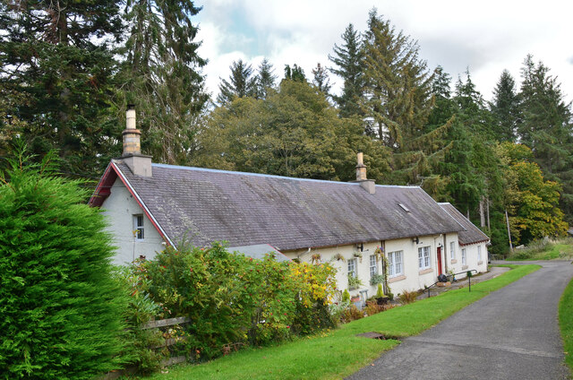
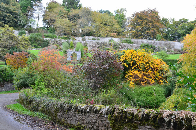
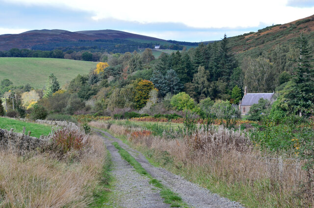
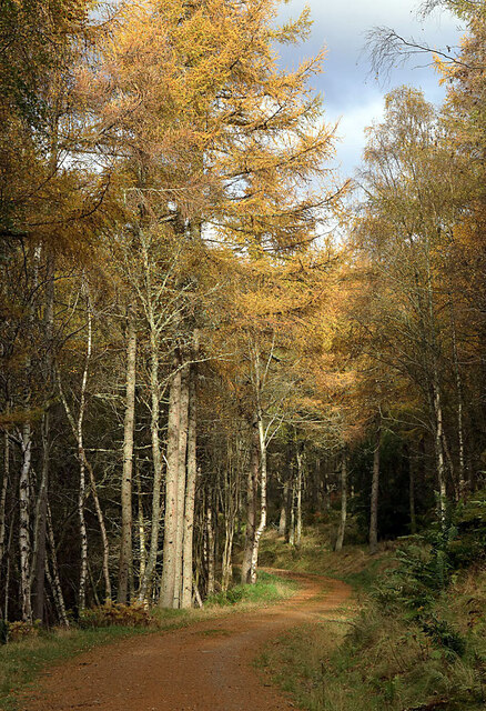
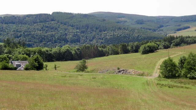
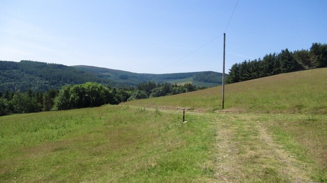
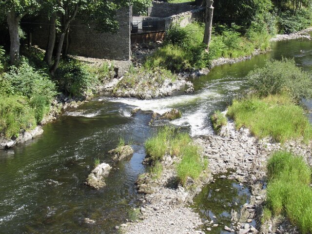
Yair Boat Stream is a picturesque body of water located in Selkirkshire, a historic county in the Scottish Borders region of Scotland. This beautiful stream, often referred to as a lake, pool, pond, or freshwater marsh, is nestled amidst the rolling hills and lush countryside, making it an idyllic spot for nature enthusiasts and tranquility seekers.

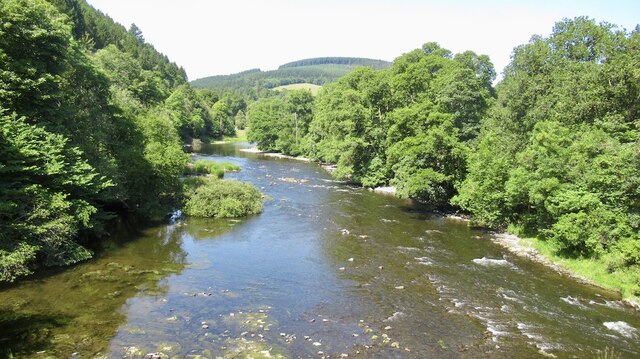
The Yair Boat Stream is known for its crystal-clear, calm waters, which are teaming with a diverse range of freshwater flora and fauna. The stream is home to various species of fish, such as brown trout and salmon, attracting anglers from far and wide who come to test their skills and enjoy a day of fishing.

Surrounding the water's edge are dense reed beds and lush wetland vegetation, creating a haven for numerous bird species. Birdwatchers flock to the Yair Boat Stream to observe and admire the resident and migratory birds, including herons, ducks, swans, and grebes.

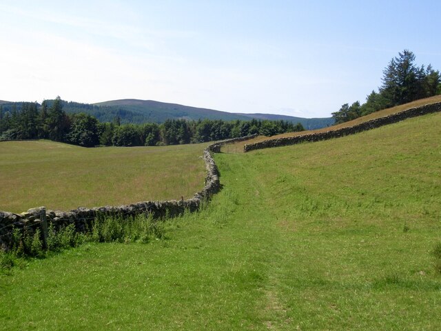
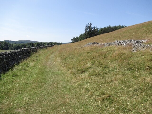
Visitors to Yair Boat Stream can explore the area by foot, following the well-marked trails that wind through the surrounding woodland. The paths provide breathtaking views of the stream, as well as opportunities to spot other wildlife, such as otters and deer.

The peaceful ambiance of Yair Boat Stream, combined with its natural beauty, makes it a popular destination for those seeking relaxation and a connection with nature. Whether it's a leisurely stroll along the water's edge, a picnic by the shore, or a serene paddle in a kayak, this enchanting body of water offers a tranquil retreat for all who visit.

If you have any feedback on the listing, please let us know in the comments section below.

Yair Boat Stream Images

Images are sourced within 2km of 55.587449/-2.8686651 or Grid Reference NT4532. Thanks to Geograph Open Source API. All images are credited.

Autumnal tree, Yair Hill Forest A tree standing out at the edge of the forest seen from Yair Hope.
Autumnal tree, Yair Hill Forest
A tree standing out at the edge of the forest seen from Yair Hope.
Valley of the Yair Burn Looking east from Yair Hope with the Eildon Hills providing a striking skyline.
Valley of the Yair Burn
Looking east from Yair Hope with the Eildon Hills providing a striking skyline.
Cottages on Yair estate On the road on the south side of the Yair Burn.
Cottages on Yair estate
On the road on the south side of the Yair Burn.
The walled garden at Yair The garden showing some attractive autumn colours.
The walled garden at Yair
The garden showing some attractive autumn colours.
Track near Caddonfoot The track follows the south bank of the Tweed between Yair Bridge and Ashiestiel Bridge. Caddonfoot Parish Church is in view across the river.
Track near Caddonfoot
The track follows the south bank of the Tweed between Yair Bridge and Ashiestiel Bridge. Caddonfoot Parish Church is in view across the river.
A fly agaric mushroom (Amanita muscaria) This mushroom which is usually associated with birch and pine trees is one of the easiest species to recognise.
A fly agaric mushroom (Amanita muscaria)
This mushroom which is usually associated with birch and pine trees is one of the easiest species to recognise.
Glistening ink cap mushrooms (Coprinellus micaceus) This edible species is usually associated with dead tree stumps or buried wood. The photograph was taken in Lindinny Wood.
Glistening ink cap mushrooms (Coprinellus micaceus)
This edible species is usually associated with dead tree stumps or buried wood. The photograph was taken in Lindinny Wood.
A forestry track in Howlands Plantation
Southern Upland Way, Hog Hill
Southern Upland Way, Hog Hill Before the plunge down to the Tweed.
Southern Upland Way, Hog Hill
Before the plunge down to the Tweed.
Hog Hill
Hog Hill
Drying grassland, Calfshaw The following six weeks were also dry, rains returned in September 2022.
Drying grassland, Calfshaw
The following six weeks were also dry, rains returned in September 2022.
Calfshaw View over Tweeddale from the Southern Upland Way.
Calfshaw
View over Tweeddale from the Southern Upland Way.
Southern Upland Way, Calfshaw Good conditions for the bike, but a serious issue for livestock farmers.
Southern Upland Way, Calfshaw
Good conditions for the bike, but a serious issue for livestock farmers.
River Tweed, Fairnielee Upstream from Yair Bridge.
River Tweed, Fairnielee
Upstream from Yair Bridge.
Yair Bridge And low water on the Fairnielee rapids
Yair Bridge
And low water on the Fairnielee rapids
Fairnielee Rapids Very low water conditions.
Fairnielee Rapids
Very low water conditions.
Show me another place!

Yair Boat Stream is located at Grid Ref: NT4532 (Lat: 55.587449, Lng: -2.8686651)

Unitary Authority: The Scottish Borders

Police Authority: The Lothians and Scottish Borders

What 3 Words

///extent.blocking.incensed. Near Selkirk, Scottish Borders

Related Wikis

Yair, Scottish Borders

Yair, also known as The Yair, is an estate in the Scottish Borders. It stands by the River Tweed in the former county of Selkirkshire, 2.5 miles (4.0 km...
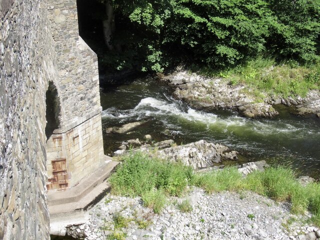
Yair Bridge

The Yair Bridge or Fairnilee Bridge is a bridge across the River Tweed at Yair, near Galashiels in the Scottish Borders. == History == It was built in...

Caddon Water

The Caddon Water (Scottish Gaelic: Cadan) is a small river by the village of Caddonfoot, in the Scottish Borders area of Scotland. It rises on Windlestraw...

Caddonlee

Caddonlee is a farm in the village of Clovenfords in the Scottish Borders area of Scotland, by the Caddon Water, near Caddonfoot where Caddon Water meets...

Caddonfoot

Caddonfoot (Scottish Gaelic: Bun Chadain) is a village on the River Tweed, in the Scottish Borders area of Scotland, on the A707, near Galashiels. The...

Peel Hospital

Peel Hospital was a health facility at Caddonfoot in the Scottish Borders, Scotland. It is a Category A Listed Building. == History == Peel House was designed...

Angling Club Cottage Platform railway station

Angling Club Cottage Platform served the Edinburgh Angling Club in Selkirk, Scottish Borders, Scotland from 1898 to the late 1940s. == History == The station...

Clovenfords

Clovenfords is a village in the Scottish Borders area of Scotland, 1 mile (2 kilometres) north of the hamlet of Caddonfoot and 4 miles (6 kilometres) west...

Nearby Amenities

Located within 500m of 55.587449,-2.8686651
Yair
Place: hamlet
Lat/Long: 55.5857782/-2.8734138
Yair
Rapids: 2
Waterway: rapids
Lat/Long: 55.5850218/-2.8649213
Yair House
Place: isolated_dwelling
Wikidata: Q8046974
Wikipedia: en:Yair, Scottish Borders
Lat/Long: 55.5862911/-2.8694556
Power: pole
Lat/Long: 55.584794/-2.8639823
Power: pole
Lat/Long: 55.5858568/-2.8628383
Power: pole
Lat/Long: 55.5862812/-2.8642706
Power: pole
Lat/Long: 55.5915872/-2.8685796
Material: wood
Power: pole
Lat/Long: 55.5910802/-2.8674933
Material: wood
Power: pole
Lat/Long: 55.5904845/-2.8675175
Material: wood
Power: pole
Lat/Long: 55.58981/-2.8675523
Material: wood
Power: pole
Lat/Long: 55.5890673/-2.8675523
Power: pole
Lat/Long: 55.5885398/-2.8675845
Material: wood
Power: pole
Lat/Long: 55.5878971/-2.8671017
Power: pole
Lat/Long: 55.587315/-2.8666806
Material: wood
Power: pole
Lat/Long: 55.5866874/-2.8662166
The data included in this document is from www.openstreetmap.org. The data is made available under ODbL.

Have you been to Yair Boat Stream?

Leave your review of Yair Boat Stream below (or comments, questions and feedback).