Claverham Green Pool

Lake, Pool, Pond, Freshwater Marsh in Somerset

England

Claverham Green Pool

King's Wood - Boundary Stones Many of these boundary stones appear throughout the wood and more in the surrounding area. There are several of the larger stones marked "Manor of Congresbury" - this one being "No. 15" in the wood with more examples around the nearby villages of Congresbury and Yatton. The smaller "TW" stones appear more frequently throughout the woods but are generally to be found off the paths.
King's Wood - Boundary Stones Credit: FollowMeChaps

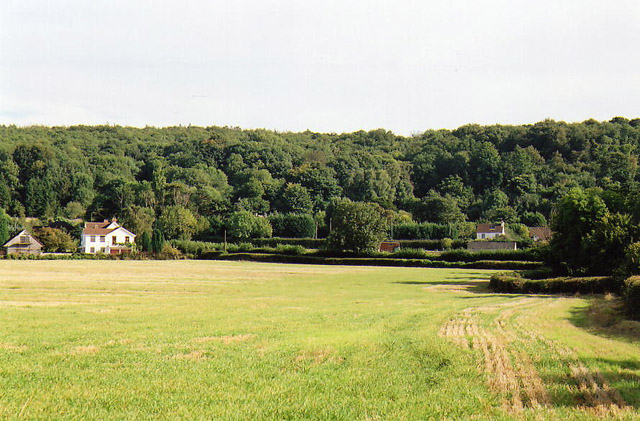
Claverham Green Pool, located in Somerset, England, is a picturesque freshwater marsh that serves as a popular recreational spot for locals and visitors alike. Nestled amidst the rolling hills and lush greenery, the pool offers a serene and tranquil environment for nature enthusiasts to explore and enjoy.

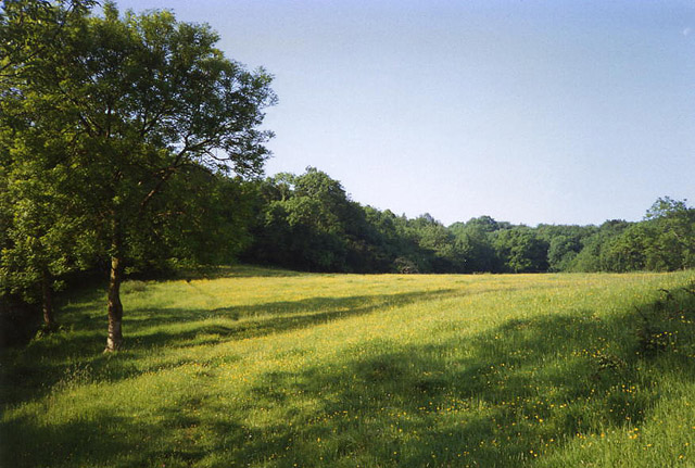
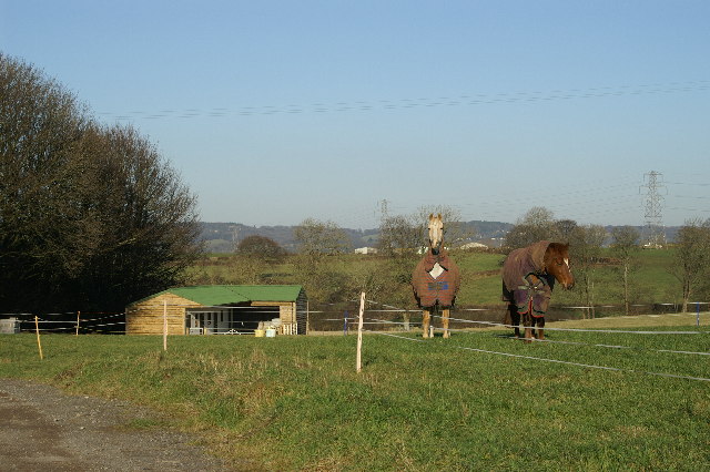
Covering an area of approximately 10 acres, Claverham Green Pool is a natural body of water that is often referred to as a lake, pool, or pond due to its size and calm waters. The pool is home to a diverse range of flora and fauna, including various species of aquatic plants, waterfowl, and insects, making it an ideal location for birdwatching and nature photography.

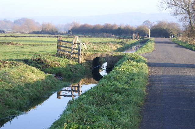
The pool is surrounded by a well-maintained walking trail, allowing visitors to leisurely stroll around and admire the scenic beauty of the area. Additionally, there are several benches strategically placed along the trail, providing visitors with the opportunity to sit and soak in the peaceful ambiance.

Claverham Green Pool also offers recreational activities such as fishing, although it is important to note that fishing permits are required to ensure the sustainability of the pool's ecosystem. Anglers can expect to find common species such as carp, roach, and perch in the pool's waters.

Overall, Claverham Green Pool offers a delightful escape from the hustle and bustle of everyday life, allowing visitors to connect with nature and appreciate the beauty of the Somerset countryside.

If you have any feedback on the listing, please let us know in the comments section below.

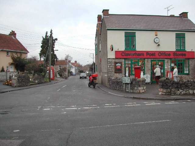
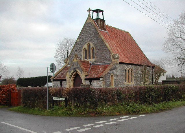
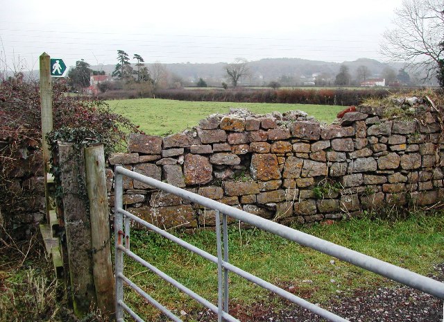
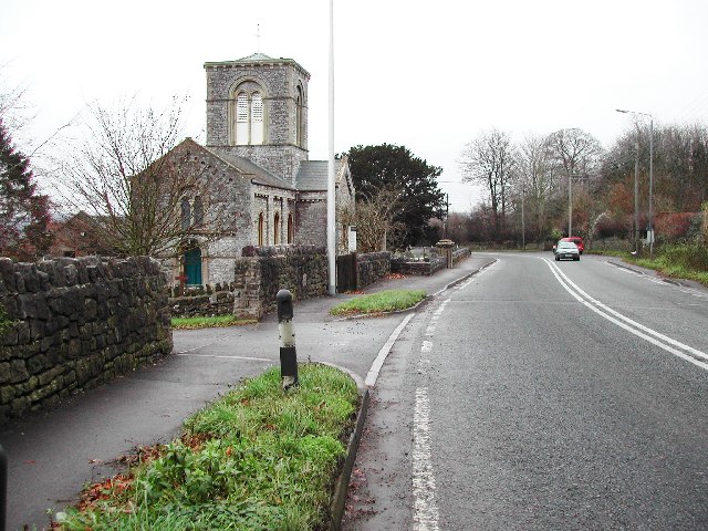
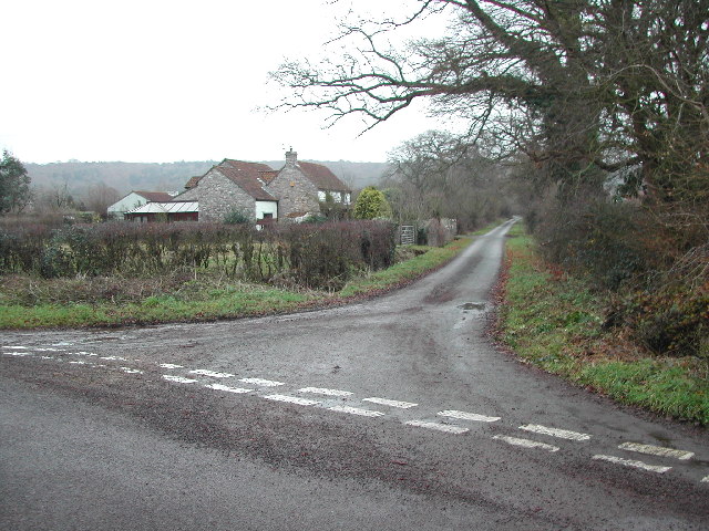
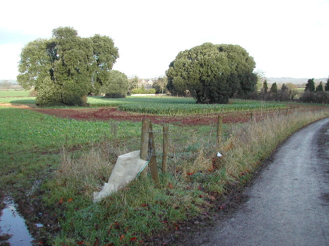
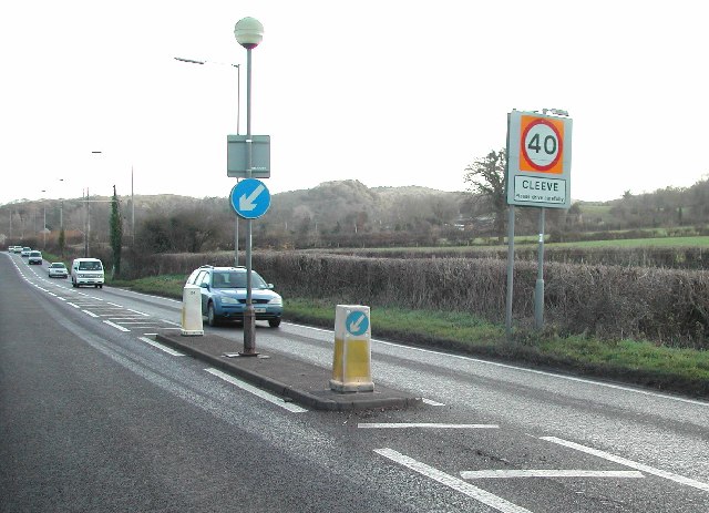
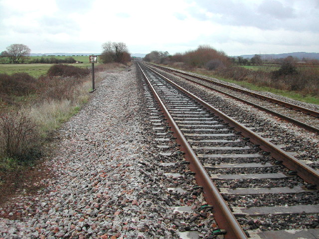
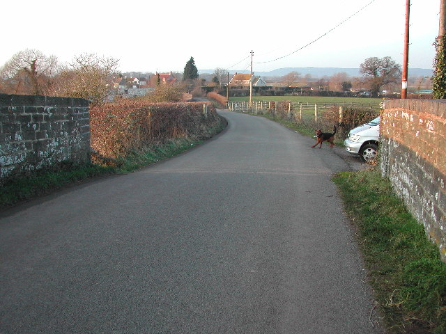
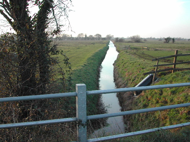
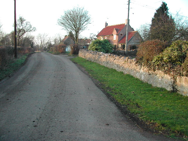
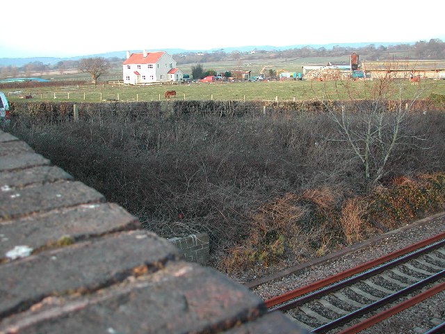
Claverham Green Pool Images

Images are sourced within 2km of 51.397443/-2.7870577 or Grid Reference ST4566. Thanks to Geograph Open Source API. All images are credited.

King's Wood - Boundary Stones Many of these boundary stones appear throughout the wood and more in the surrounding area. There are several of the larger stones marked "Manor of Congresbury" - this one being "No. 15" in the wood with more examples around the nearby villages of Congresbury and Yatton. The smaller "TW" stones appear more frequently throughout the woods but are generally to be found off the paths.
King's Wood - Boundary Stones
Many of these boundary stones appear throughout the wood and more in the surrounding area. There are several of the larger stones marked "Manor of Congresbury" - this one being "No. 15" in the wood with more examples around the nearby villages of Congresbury and Yatton. The smaller "TW" stones appear more frequently throughout the woods but are generally to be found off the paths.
Cleeve: south east to Cleeve Hill The A370 Bristol – Weston-super-Mare road runs left to right across the image hidden between hedges, near the houses and by the telegraph poles. Seen from Littlewood Lane, known locally as Lipsey Lane
Cleeve: south east to Cleeve Hill
The A370 Bristol – Weston-super-Mare road runs left to right across the image hidden between hedges, near the houses and by the telegraph poles. Seen from Littlewood Lane, known locally as Lipsey Lane
Cleeve: field path to King’s Wood Looking south
Cleeve: field path to King’s Wood
Looking south
Claverham High Street & Post Office At the heart of this delightful village lies the Post Office and village stores. Looking up High Street from the Claverham Road. For more information on Claverham see the village website <span class="nowrap"><a title="http://www.claverhamvillage.co.uk/" rel="nofollow ugc noopener" href="http://www.claverhamvillage.co.uk/">Link</a><img style="margin-left:2px;" alt="External link" title="External link - shift click to open in new window" src="https://s1.geograph.org.uk/img/external.png" width="10" height="10"/></span>
Claverham High Street & Post Office
At the heart of this delightful village lies the Post Office and village stores. Looking up High Street from the Claverham Road. For more information on Claverham see the village website LinkExternal link
St. Barnabas Church, Claverham Completed as daughter church of St Mary's, Yatton, in 1879. Now part of the Yatton Moor Team Ministry. Services are held at varying times every Sunday. For more information see the Claverham village website <span class="nowrap"><a title="http://www.claverhamvillage.co.uk/" rel="nofollow ugc noopener" href="http://www.claverhamvillage.co.uk/">Link</a><img style="margin-left:2px;" alt="External link" title="External link - shift click to open in new window" src="https://s1.geograph.org.uk/img/external.png" width="10" height="10"/></span>
St. Barnabas Church, Claverham
Completed as daughter church of St Mary's, Yatton, in 1879. Now part of the Yatton Moor Team Ministry. Services are held at varying times every Sunday. For more information see the Claverham village website LinkExternal link
View South East over grid square
Cleeve Church on the A370
Littlewood Lane from Brockley Way
Towards Brockley Court Home Viewed from the A370 looking North along St. Nicholas Way.
Towards Brockley Court Home
Viewed from the A370 looking North along St. Nicholas Way.
Cleeve on the A370 Looking Eastwards across the grid square towards Cleeve Toot.
Cleeve on the A370
Looking Eastwards across the grid square towards Cleeve Toot.
The footpath crosses the track Looking Northeast
The footpath crosses the track
Looking Northeast
Kenn Moor Gate looking North West from railway bridge
Rhyne at Kenn Moor Gate looking North West
The hamlet of Kenn Moor Gate
Farmland at Kenn Moor Gate
Horses and Stables
Horses and Stables
Show me another place!

Claverham Green Pool is located at Grid Ref: ST4566 (Lat: 51.397443, Lng: -2.7870577)

Unitary Authority: North Somerset

Police Authority: Avon and Somerset

What 3 Words

///orbited.swordfish.voters. Near Brockley, Somerset

Related Wikis

Church of Holy Trinity, Cleeve

The Church Of Holy Trinity at Cleeve in the English county of Somerset was built in 1840. It is a Grade II* listed building. == History == Cleeve, along...

Cleeve Heronry

Cleeve Heronry (grid reference ST463662) is a heronry in a woodland near the village of Cleeve in North Somerset. 40 nests were counted in 1994. 47 nests...

Cleeve, Somerset

Cleeve is a village and civil parish in the ceremonial county of Somerset, England. It is situated within the unitary authority of North Somerset, 9 miles...

North Somerset

North Somerset is a unitary district in Somerset, South West England. Whilst its area covers part of the ceremonial county of Somerset, it is administered...

St Nicholas' Church, Brockley

St Nicholas' Church in Brockley, Somerset, England dates from the 12th century, and is recorded in the National Heritage List for England as a designated...

Nailsea Court

Nailsea Court in Nailsea, Somerset, England, is an English manor house dating from the 15th century. Pevsner describes the house as "historically highly...

Cleeve Toot

Cleeve Toot is an Iron Age univallate hillfort above Goblin Combe, Cleeve, Somerset, England. It is a Scheduled Ancient Monument.It is a roughly oval settlement...

Brockley Hall Stables

Brockley Hall Stables (grid reference ST471669) is a 0.065 hectare biological Site of Special Scientific Interest near the village of Brockley, North Somerset...

Nearby Amenities

Located within 500m of 51.397443,-2.7870577
Power: tower
Lat/Long: 51.3983004/-2.7897617
Power: tower
Lat/Long: 51.4004544/-2.7892438
Power: tower
Lat/Long: 51.3958387/-2.7903466
Barrier: stile
Lat/Long: 51.3956657/-2.7889383
Barrier: stile
Lat/Long: 51.4002624/-2.7908144
Brand: National Grid
Brand Wikidata: Q1465461
Material: wood
Operator: National Grid Electricity Distribution Plc
Operator Old: Western Power Distribution
Operator Wikidata: Q7988183
Owner: National Grid Electricity Distribution (South West) Plc
Owner Wikidata: Q114397866
Power: pole
Lat/Long: 51.4000626/-2.781638
Brand: National Grid
Brand Wikidata: Q1465461
Material: wood
Operator: National Grid Electricity Distribution Plc
Operator Old: Western Power Distribution
Operator Wikidata: Q7988183
Owner: National Grid Electricity Distribution (South West) Plc
Owner Wikidata: Q114397866
Power: pole
Lat/Long: 51.400022/-2.7833597
Brand: National Grid
Brand Wikidata: Q1465461
Material: wood
Operator: National Grid Electricity Distribution Plc
Operator Old: Western Power Distribution
Operator Wikidata: Q7988183
Owner: National Grid Electricity Distribution (South West) Plc
Owner Wikidata: Q114397866
Power: pole
Lat/Long: 51.4000152/-2.7838605
Brand: National Grid
Brand Wikidata: Q1465461
Material: wood
Operator: National Grid Electricity Distribution Plc
Operator Old: Western Power Distribution
Operator Wikidata: Q7988183
Owner: National Grid Electricity Distribution (South West) Plc
Owner Wikidata: Q114397866
Power: pole
Lat/Long: 51.39998/-2.7854065
Brand: National Grid
Brand Wikidata: Q1465461
Material: wood
Operator: National Grid Electricity Distribution Plc
Operator Old: Western Power Distribution
Operator Wikidata: Q7988183
Owner: National Grid Electricity Distribution (South West) Plc
Owner Wikidata: Q114397866
Power: pole
Lat/Long: 51.3999435/-2.7865557
Brand: National Grid
Brand Wikidata: Q1465461
Material: wood
Operator: National Grid Electricity Distribution Plc
Operator Old: Western Power Distribution
Operator Wikidata: Q7988183
Owner: National Grid Electricity Distribution (South West) Plc
Owner Wikidata: Q114397866
Power: pole
Lat/Long: 51.3999138/-2.7878979
Brand: National Grid
Brand Wikidata: Q1465461
Material: wood
Operator: National Grid Electricity Distribution Plc
Operator Old: Western Power Distribution
Operator Wikidata: Q7988183
Owner: National Grid Electricity Distribution (South West) Plc
Owner Wikidata: Q114397866
Power: pole
Lat/Long: 51.3998975/-2.7886807
Brand: National Grid
Brand Wikidata: Q1465461
Material: wood
Operator: National Grid Electricity Distribution Plc
Operator Old: Western Power Distribution
Operator Wikidata: Q7988183
Owner: National Grid Electricity Distribution (South West) Plc
Owner Wikidata: Q114397866
Power: pole
Substation: transformer
Lat/Long: 51.3998867/-2.7895111
Brand: National Grid
Brand Wikidata: Q1465461
Material: wood
Operator: National Grid Electricity Distribution Plc
Operator Old: Western Power Distribution
Operator Wikidata: Q7988183
Owner: National Grid Electricity Distribution (South West) Plc
Owner Wikidata: Q114397866
Power: pole
Lat/Long: 51.3992455/-2.7902678
Brand: National Grid
Brand Wikidata: Q1465461
Material: wood
Operator: National Grid Electricity Distribution Plc
Operator Old: Western Power Distribution
Operator Wikidata: Q7988183
Owner: National Grid Electricity Distribution (South West) Plc
Owner Wikidata: Q114397866
Power: pole
Lat/Long: 51.3984988/-2.7912024
Brand: National Grid
Brand Wikidata: Q1465461
Material: wood
Operator: National Grid Electricity Distribution Plc
Operator Old: Western Power Distribution
Operator Wikidata: Q7988183
Owner: National Grid Electricity Distribution (South West) Plc
Owner Wikidata: Q114397866
Power: pole
Lat/Long: 51.3977547/-2.792061
Brand: National Grid
Brand Wikidata: Q1465461
Material: wood
Operator: National Grid Electricity Distribution Plc
Operator Old: Western Power Distribution
Operator Wikidata: Q7988183
Owner: National Grid Electricity Distribution (South West) Plc
Owner Wikidata: Q114397866
Power: pole
Lat/Long: 51.3970574/-2.7929982
Format: post and cap
Historic: milestone
Inscription: SCC;Lower Claverham;Kenn
Lat/Long: 51.4000532/-2.7879417
The data included in this document is from www.openstreetmap.org. The data is made available under ODbL.

Have you been to Claverham Green Pool?

Leave your review of Claverham Green Pool below (or comments, questions and feedback).