Elm Wiel

Lake, Pool, Pond, Freshwater Marsh in Selkirkshire

Scotland

Elm Wiel

Autumnal tree, Yair Hill Forest A tree standing out at the edge of the forest seen from Yair Hope.
Autumnal tree, Yair Hill Forest Credit: Jim Barton

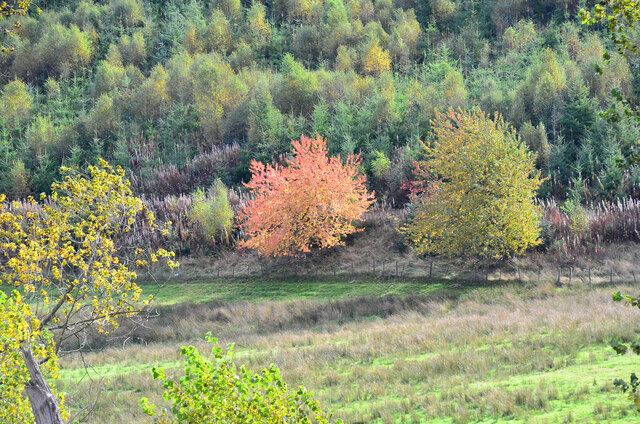
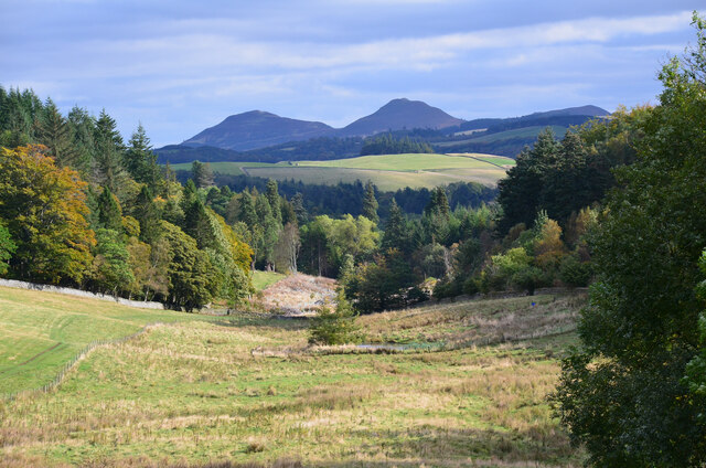
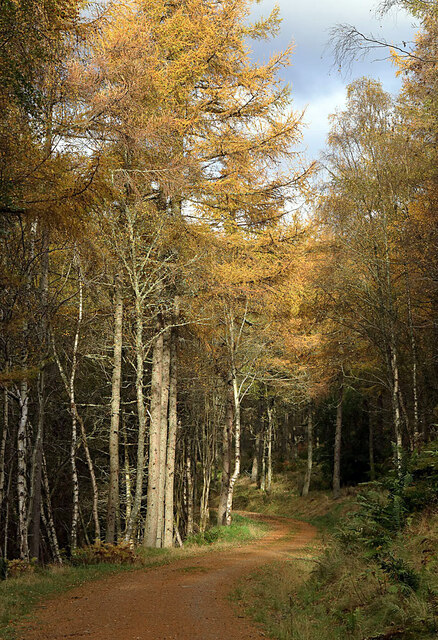
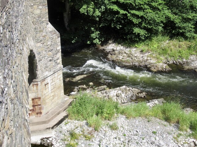
Elm Wiel, located in Selkirkshire, is a picturesque freshwater marsh encompassing a lake, pool, and pond. Nestled within a lush and vibrant landscape, this serene and tranquil destination offers a rich ecological habitat for a diverse range of plant and animal species.

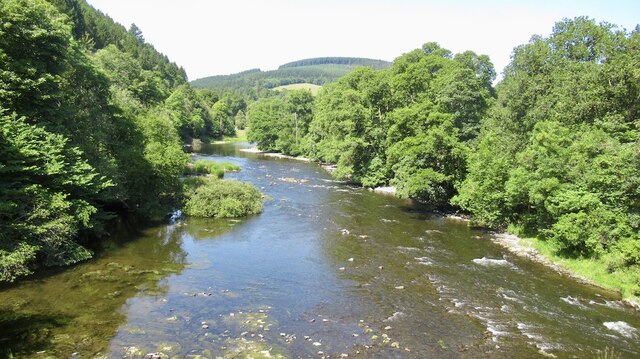
The centerpiece of Elm Wiel is its expansive lake, which spans across a significant portion of the marsh. The lake's crystal-clear waters are fed by freshwater springs, ensuring a steady flow of clean and oxygen-rich water. It provides an ideal habitat for various aquatic species, including fish, amphibians, and waterfowl.

Adjacent to the lake is a smaller pool, created by the natural landscape. This pool serves as a breeding ground for numerous species of water plants, attracting an array of insects and birds that rely on these plants for sustenance. It also acts as a vital water source for many animals, especially during the drier months.

Tucked away in a secluded corner of Elm Wiel is a peaceful and serene pond. This smaller body of water is surrounded by dense vegetation, creating a haven for amphibians such as frogs and newts. The pond's still waters and abundant plant life make it a perfect breeding ground and nursery for these species.

Overall, Elm Wiel in Selkirkshire provides a diverse and thriving freshwater marsh ecosystem. Its lake, pool, and pond are crucial components of this habitat, supporting a wide variety of plant and animal life. A visit to Elm Wiel offers a chance to connect with nature and witness the beauty and harmony of a well-preserved freshwater marsh environment.

If you have any feedback on the listing, please let us know in the comments section below.
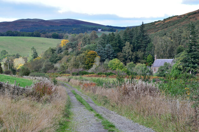
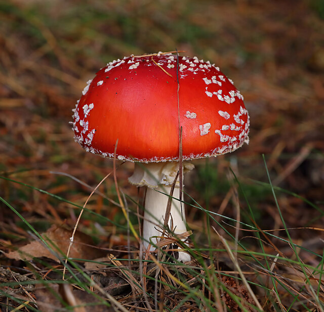
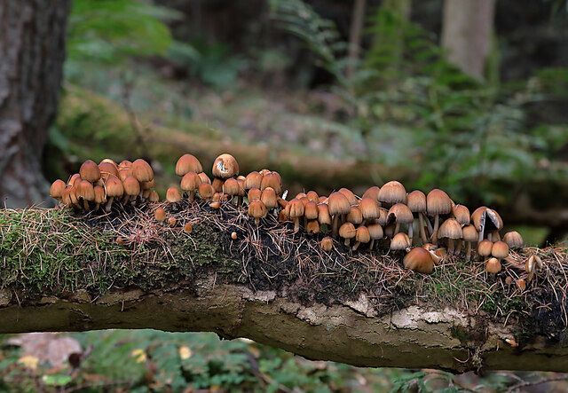
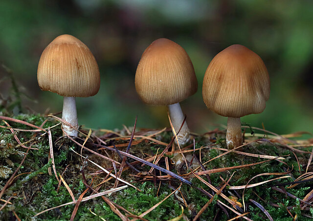
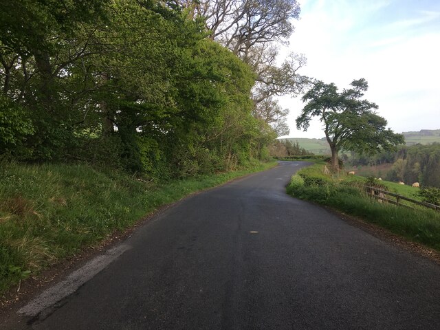
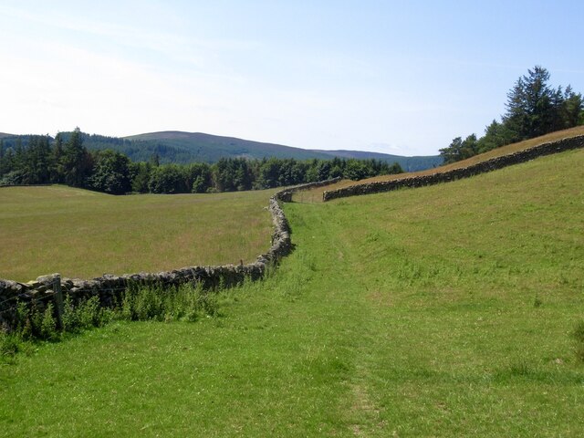
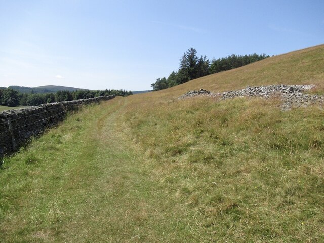
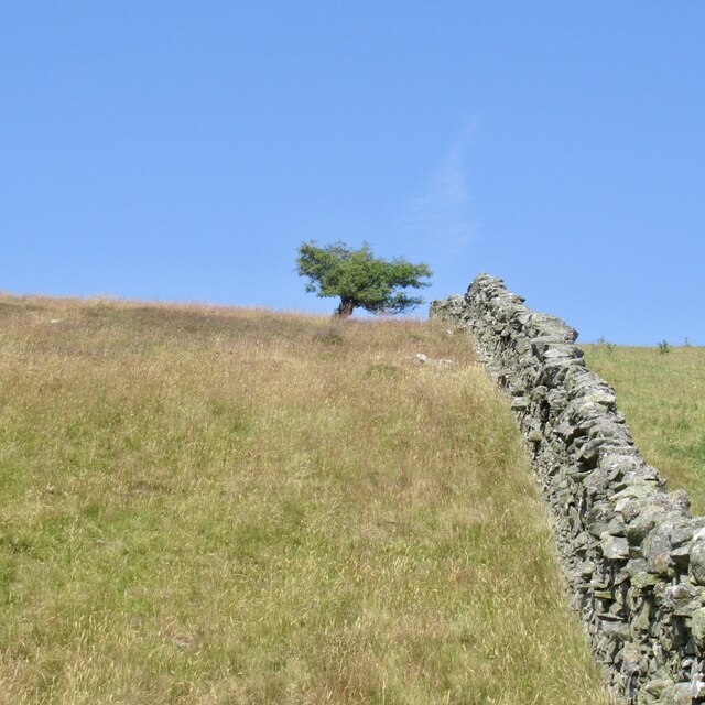
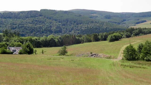
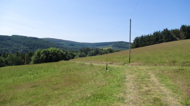
Elm Wiel Images

Images are sourced within 2km of 55.584341/-2.8645828 or Grid Reference NT4532. Thanks to Geograph Open Source API. All images are credited.

Autumnal tree, Yair Hill Forest A tree standing out at the edge of the forest seen from Yair Hope.
Autumnal tree, Yair Hill Forest
A tree standing out at the edge of the forest seen from Yair Hope.
Valley of the Yair Burn Looking east from Yair Hope with the Eildon Hills providing a striking skyline.
Valley of the Yair Burn
Looking east from Yair Hope with the Eildon Hills providing a striking skyline.
Cottages on Yair estate On the road on the south side of the Yair Burn.
Cottages on Yair estate
On the road on the south side of the Yair Burn.
The walled garden at Yair The garden showing some attractive autumn colours.
The walled garden at Yair
The garden showing some attractive autumn colours.
Track near Caddonfoot The track follows the south bank of the Tweed between Yair Bridge and Ashiestiel Bridge. Caddonfoot Parish Church is in view across the river.
Track near Caddonfoot
The track follows the south bank of the Tweed between Yair Bridge and Ashiestiel Bridge. Caddonfoot Parish Church is in view across the river.
A fly agaric mushroom (Amanita muscaria) This mushroom which is usually associated with birch and pine trees is one of the easiest species to recognise.
A fly agaric mushroom (Amanita muscaria)
This mushroom which is usually associated with birch and pine trees is one of the easiest species to recognise.
Glistening ink cap mushrooms (Coprinellus micaceus) This edible species is usually associated with dead tree stumps or buried wood. The photograph was taken in Lindinny Wood.
Glistening ink cap mushrooms (Coprinellus micaceus)
This edible species is usually associated with dead tree stumps or buried wood. The photograph was taken in Lindinny Wood.
A forestry track in Howlands Plantation
B7060 near Yair
B7060 near Yair
Southern Upland Way, Hog Hill
Southern Upland Way, Hog Hill Before the plunge down to the Tweed.
Southern Upland Way, Hog Hill
Before the plunge down to the Tweed.
Hog Hill
Hog Hill
Drying grassland, Calfshaw The following six weeks were also dry, rains returned in September 2022.
Drying grassland, Calfshaw
The following six weeks were also dry, rains returned in September 2022.
Calfshaw View over Tweeddale from the Southern Upland Way.
Calfshaw
View over Tweeddale from the Southern Upland Way.
Southern Upland Way, Calfshaw Good conditions for the bike, but a serious issue for livestock farmers.
Southern Upland Way, Calfshaw
Good conditions for the bike, but a serious issue for livestock farmers.
River Tweed, Fairnielee Upstream from Yair Bridge.
River Tweed, Fairnielee
Upstream from Yair Bridge.
Yair Bridge And low water on the Fairnielee rapids
Yair Bridge
And low water on the Fairnielee rapids
Show me another place!

Elm Wiel is located at Grid Ref: NT4532 (Lat: 55.584341, Lng: -2.8645828)

Unitary Authority: The Scottish Borders

Police Authority: The Lothians and Scottish Borders

What 3 Words

///tilts.quoted.scanty. Near Selkirk, Scottish Borders

Related Wikis

Yair, Scottish Borders

Yair, also known as The Yair, is an estate in the Scottish Borders. It stands by the River Tweed in the former county of Selkirkshire, 2.5 miles (4.0 km...

Yair Bridge

The Yair Bridge or Fairnilee Bridge is a bridge across the River Tweed at Yair, near Galashiels in the Scottish Borders. == History == It was built in...

Caddon Water

The Caddon Water (Scottish Gaelic: Cadan) is a small river by the village of Caddonfoot, in the Scottish Borders area of Scotland. It rises on Windlestraw...

Caddonlee

Caddonlee is a farm in the village of Clovenfords in the Scottish Borders area of Scotland, by the Caddon Water, near Caddonfoot where Caddon Water meets...

Nearby Amenities

Located within 500m of 55.584341,-2.8645828
Traffic Signals
Traffic Signals Direction: forward
Lat/Long: 55.5832591/-2.8611825
Traffic Signals
Traffic Signals Direction: forward
Lat/Long: 55.5840232/-2.8610823
Parking
Lindinny Forestry Place
Lat/Long: 55.5828388/-2.8592478
Parking
Parking: surface
Lat/Long: 55.5838013/-2.8605424
Fairnilee
Whitewater: egress
Lat/Long: 55.5833652/-2.8578942
Yair
Rapids: 2
Waterway: rapids
Lat/Long: 55.5850218/-2.8649213
Leisure: pitch
Sport: fishing
Lat/Long: 55.5835541/-2.8599877
Leisure: pitch
Sport: canoe
Lat/Long: 55.5835026/-2.8598072
Telephone
Booth: K6
Check Date: 2024-04-11
Covered: booth
Source: survey
Lat/Long: 55.5844125/-2.8613651
Post Box
Post Box Design: hovis
Post Box Mounting: wooden_post
Post Box Type: lamp
Ref: TD1 25
Royal Cypher: GR
Royal Cypher Wikidata: Q33102273
Source: survey
Lat/Long: 55.5846954/-2.8618475
Lower rocks
Leisure: fishing
Lat/Long: 55.5833857/-2.8577448
Give Way
Direction: forward
Lat/Long: 55.5841289/-2.8610052
Fairnilee
Place: hamlet
Lat/Long: 55.5850701/-2.8618527
Yair House
Place: isolated_dwelling
Wikidata: Q8046974
Wikipedia: en:Yair, Scottish Borders
Lat/Long: 55.5862911/-2.8694556
Power: pole
Lat/Long: 55.5851048/-2.8602916
Power: pole
Lat/Long: 55.5848001/-2.859326
Power: pole
Lat/Long: 55.584794/-2.8639823
Power: pole
Lat/Long: 55.5843862/-2.8612813
Material: wood
Power: pole
Lat/Long: 55.5843453/-2.8609246
Power: pole
Lat/Long: 55.5844075/-2.8597418
Power: pole
Lat/Long: 55.584509/-2.8583282
Power: pole
Lat/Long: 55.5841391/-2.8570837
Upper Rocks
Leisure: fishing
Lat/Long: 55.5833989/-2.8586767
Parking
Access: yes
Capacity: 2
Fee: no
Parking: surface
Lat/Long: 55.5835528/-2.858894
Power: pole
Lat/Long: 55.5854202/-2.8613899
Power: pole
Lat/Long: 55.5858568/-2.8628383
Power: pole
Lat/Long: 55.5862812/-2.8642706
Noexit: yes
Lat/Long: 55.5847364/-2.8612572
Noexit: yes
Lat/Long: 55.5845538/-2.8606094
Give Way
Direction: forward
Lat/Long: 55.5832523/-2.8612404
Material: wood
Power: pole
Lat/Long: 55.5878971/-2.8671017
Power: pole
Lat/Long: 55.587315/-2.8666806
Material: wood
Power: pole
Lat/Long: 55.5866874/-2.8662166
The data included in this document is from www.openstreetmap.org. The data is made available under ODbL.

Have you been to Elm Wiel?

Leave your review of Elm Wiel below (or comments, questions and feedback).