Yair

Settlement in Selkirkshire

Scotland

Yair

Autumnal tree, Yair Hill Forest A tree standing out at the edge of the forest seen from Yair Hope.
Autumnal tree, Yair Hill Forest Credit: Jim Barton

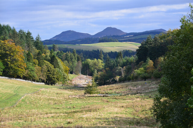
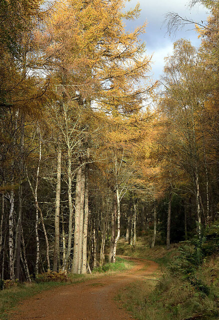
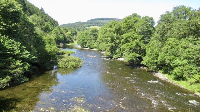
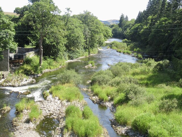
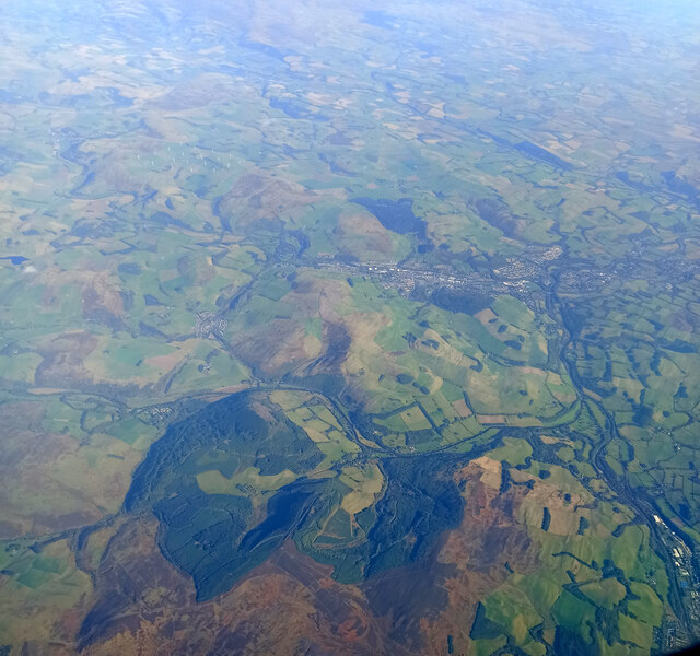
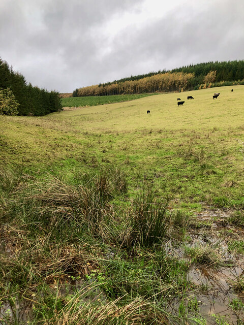
Yair is a small village located in Selkirkshire, a historic county in the Scottish Borders region of Scotland. Situated on the eastern banks of the River Tweed, Yair is surrounded by picturesque countryside, offering stunning views of the rolling hills and lush greenery that characterizes the region.

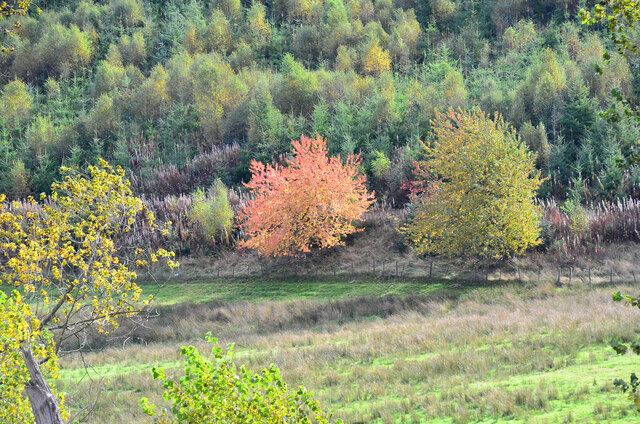
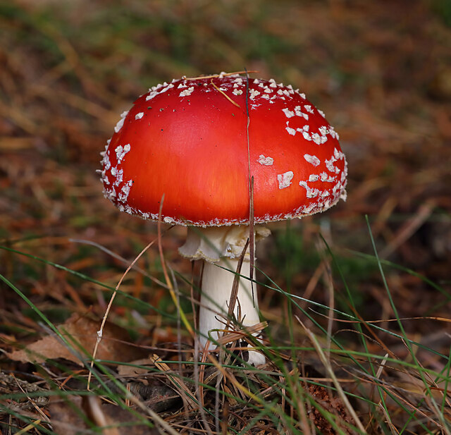
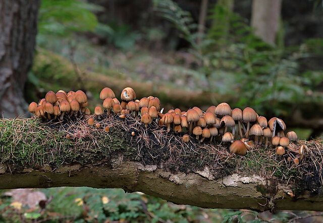
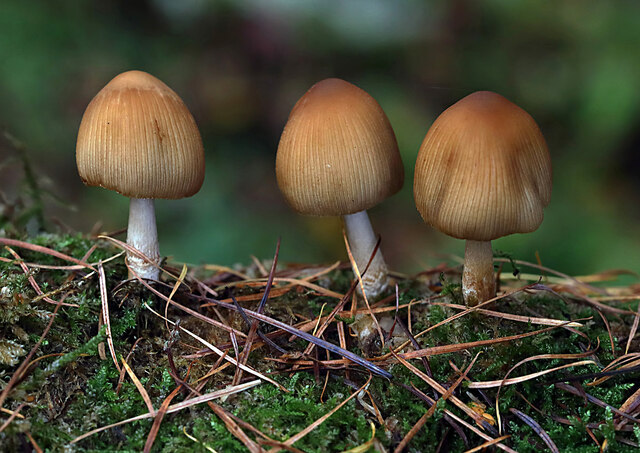
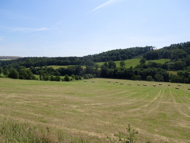
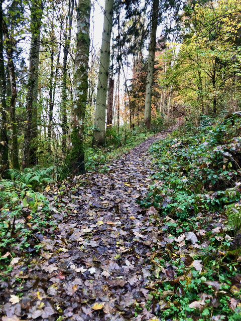
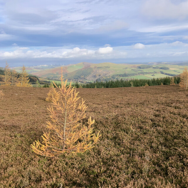
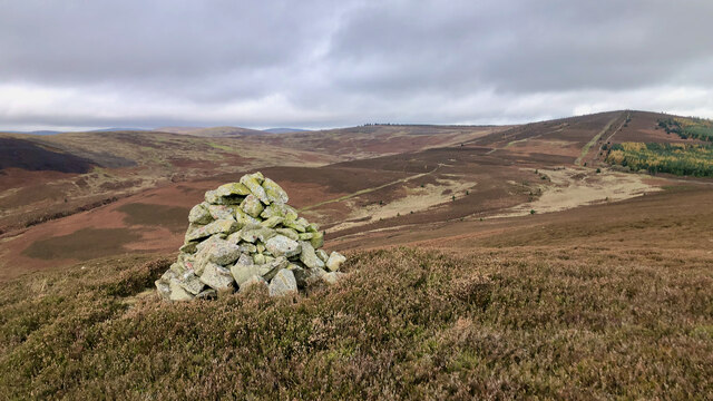
The village is renowned for its beautiful Yair Estate, which spans across 2,500 acres and is home to a diverse range of wildlife and flora. The estate features a mix of woodland, farmland, and open spaces, making it a popular destination for outdoor enthusiasts, nature lovers, and walkers. There are several walking trails and paths that crisscross the estate, allowing visitors to explore its natural beauty.

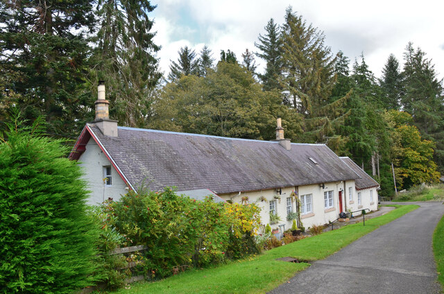
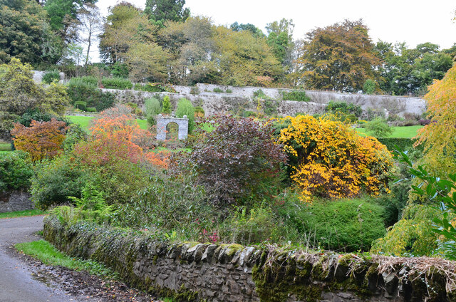
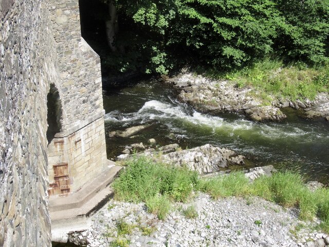
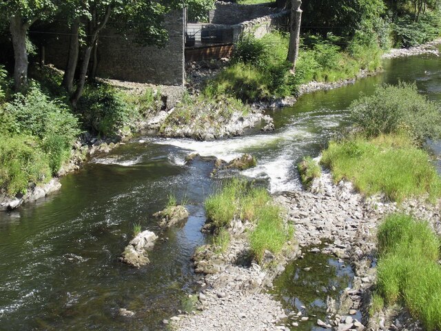
Yair also boasts a rich history, with several historic landmarks and buildings dotted throughout the area. One notable structure is Yair House, an elegant mansion that dates back to the 18th century. This grand estate is surrounded by well-maintained gardens and offers a glimpse into the area's past.

Despite its small size, Yair offers a peaceful and tranquil atmosphere, providing an escape from the hustle and bustle of city life. The village is located just a short drive away from the town of Selkirk, where residents and visitors can find amenities such as shops, restaurants, and other essential services.

Overall, Yair is a hidden gem nestled in the heart of Selkirkshire, offering natural beauty, historical charm, and a sense of serenity to those who visit.

If you have any feedback on the listing, please let us know in the comments section below.

Yair Images

Images are sourced within 2km of 55.578533/-2.8739405 or Grid Reference NT4532. Thanks to Geograph Open Source API. All images are credited.

Autumnal tree, Yair Hill Forest A tree standing out at the edge of the forest seen from Yair Hope.
Autumnal tree, Yair Hill Forest
A tree standing out at the edge of the forest seen from Yair Hope.
Valley of the Yair Burn Looking east from Yair Hope with the Eildon Hills providing a striking skyline.
Valley of the Yair Burn
Looking east from Yair Hope with the Eildon Hills providing a striking skyline.
Cottages on Yair estate On the road on the south side of the Yair Burn.
Cottages on Yair estate
On the road on the south side of the Yair Burn.
The walled garden at Yair The garden showing some attractive autumn colours.
The walled garden at Yair
The garden showing some attractive autumn colours.
A fly agaric mushroom (Amanita muscaria) This mushroom which is usually associated with birch and pine trees is one of the easiest species to recognise.
A fly agaric mushroom (Amanita muscaria)
This mushroom which is usually associated with birch and pine trees is one of the easiest species to recognise.
Glistening ink cap mushrooms (Coprinellus micaceus) This edible species is usually associated with dead tree stumps or buried wood. The photograph was taken in Lindinny Wood.
Glistening ink cap mushrooms (Coprinellus micaceus)
This edible species is usually associated with dead tree stumps or buried wood. The photograph was taken in Lindinny Wood.
A forestry track in Howlands Plantation
River Tweed, Fairnielee Upstream from Yair Bridge.
River Tweed, Fairnielee
Upstream from Yair Bridge.
Yair Bridge And low water on the Fairnielee rapids
Yair Bridge
And low water on the Fairnielee rapids
Fairnielee Rapids Very low water conditions.
Fairnielee Rapids
Very low water conditions.
Low water on the Tweed Fairnielee rapids during extremely low water conditions.
Low water on the Tweed
Fairnielee rapids during extremely low water conditions.
Field, Fairnielee
Field, Fairnielee
Confluence of the River Tweed and Ettrick Water from the air High Sutherland and Sunderland Hall are in the foreground, as is the north end of Selkirk. Galashiels is in the distance.

Taken by mobile phone, from a Prague bound flight from Edinburgh.
Confluence of the River Tweed and Ettrick Water from the air
High Sutherland and Sunderland Hall are in the foreground, as is the north end of Selkirk. Galashiels is in the distance. Taken by mobile phone, from a Prague bound flight from Edinburgh.
Path into Raelees Wood
Self-sown larch sapling on Peat Law
Cairn, Peat Law
Cairn, Peat Law
Marshy re-entrant
Marshy re-entrant
Show me another place!

Yair is located at Grid Ref: NT4532 (Lat: 55.578533, Lng: -2.8739405)

Unitary Authority: The Scottish Borders

Police Authority: The Lothians and Scottish Borders

What 3 Words

///pushes.lads.richest. Near Selkirk, Scottish Borders

Related Wikis

Yair, Scottish Borders

Yair, also known as The Yair, is an estate in the Scottish Borders. It stands by the River Tweed in the former county of Selkirkshire, 2.5 miles (4.0 km...

Yair Bridge

The Yair Bridge or Fairnilee Bridge is a bridge across the River Tweed at Yair, near Galashiels in the Scottish Borders. == History == It was built in...

Caddon Water

The Caddon Water (Scottish Gaelic: Cadan) is a small river by the village of Caddonfoot, in the Scottish Borders area of Scotland. It rises on Windlestraw...

Caddonlee

Caddonlee is a farm in the village of Clovenfords in the Scottish Borders area of Scotland, by the Caddon Water, near Caddonfoot where Caddon Water meets...

Have you been to Yair?

Leave your review of Yair below (or comments, questions and feedback).