Kentmere Tarn
Lake, Pool, Pond, Freshwater Marsh in Westmorland South Lakeland
England
Kentmere Tarn
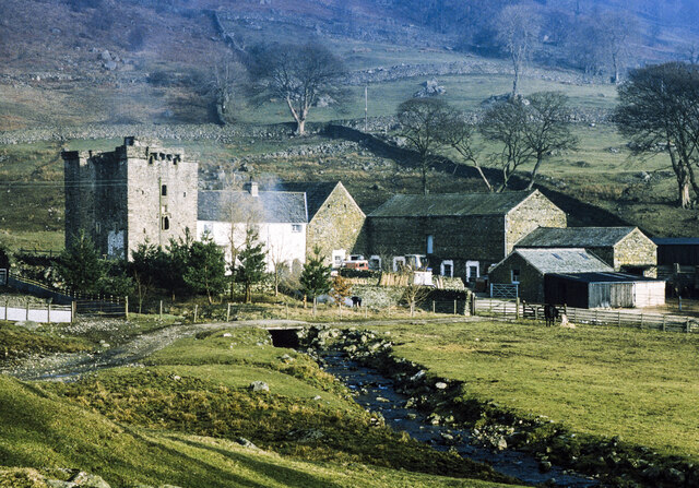
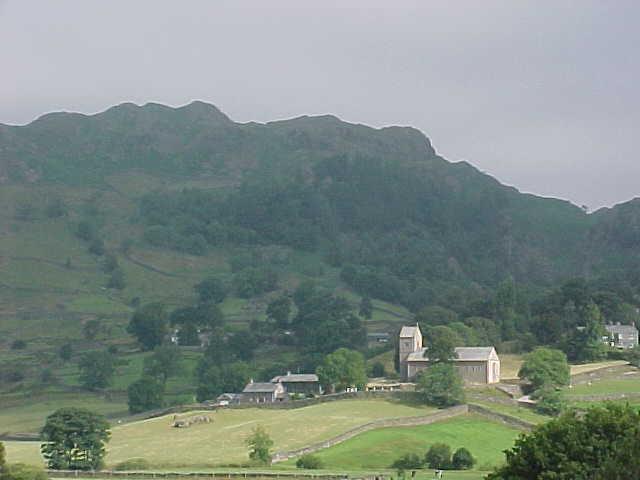
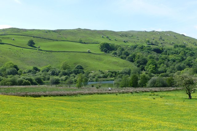
Kentmere Tarn is a picturesque freshwater lake located in the county of Westmorland, in the Lake District National Park, Cumbria, England. Nestled among the rolling hills and surrounded by lush greenery, this serene body of water is a popular destination for nature lovers and outdoor enthusiasts.
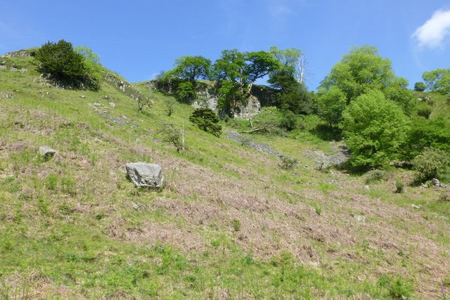
Covering an area of approximately 15 acres, Kentmere Tarn is classified as a tarn, which is a small mountain lake or pool. It is situated at an altitude of around 1,000 feet, providing breathtaking views of the surrounding mountains, including the prominent Harter Fell and Kentmere Pike.
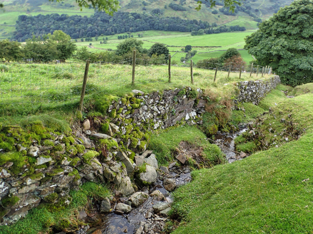
The tarn is fed by various streams and springs that flow down from the nearby hills, ensuring a constant supply of fresh water. It is known for its crystal-clear waters, which reflect the surrounding landscape, creating a stunning mirror-like effect.
The area surrounding Kentmere Tarn is rich in biodiversity, with a diverse range of plant and animal species. The tarn itself supports a variety of aquatic life, including fish such as brown trout and arctic char. The surrounding marshes and wetlands provide a habitat for numerous bird species, including waterfowl and wading birds.
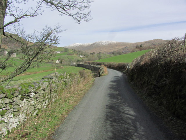
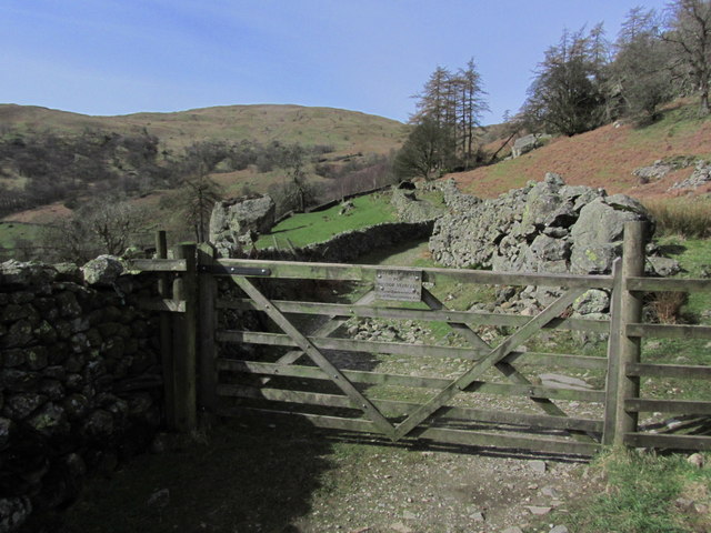
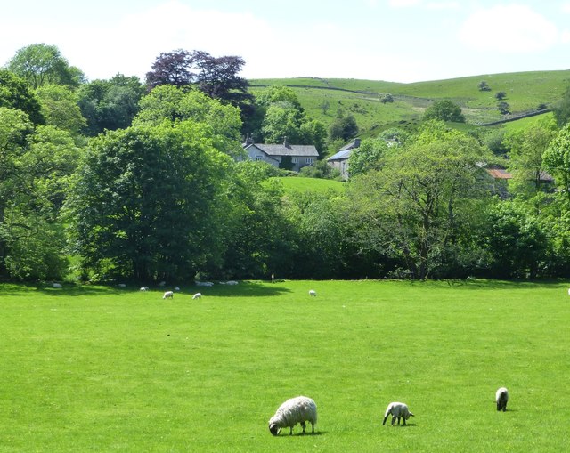
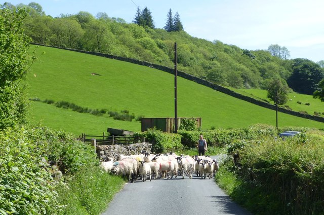
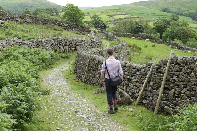
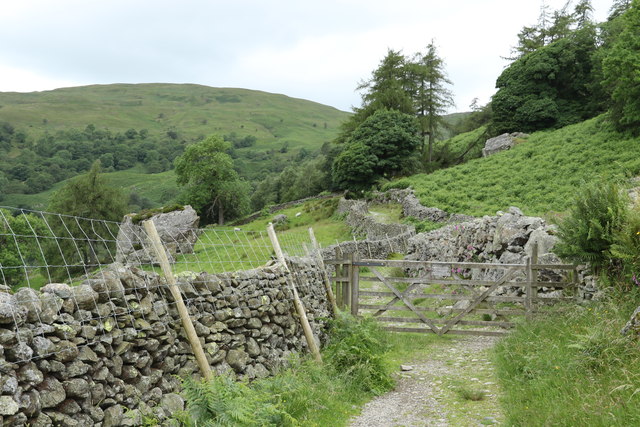
Access to Kentmere Tarn is typically through a well-maintained footpath that winds through the picturesque Kentmere Valley, offering hikers and walkers the opportunity to experience the beauty of the surrounding countryside. The tranquil and peaceful atmosphere of the tarn, coupled with its stunning natural surroundings, make it a perfect destination for those seeking a retreat into nature.
If you have any feedback on the listing, please let us know in the comments section below.
Kentmere Tarn Images
Images are sourced within 2km of 54.416211/-2.8406153 or Grid Reference NY4502. Thanks to Geograph Open Source API. All images are credited.

Kentmere Tarn is located at Grid Ref: NY4502 (Lat: 54.416211, Lng: -2.8406153)
Administrative County: Cumbria
District: South Lakeland
Police Authority: Cumbria
What 3 Words
///caps.picture.dancer. Near Staveley, Cumbria
Nearby Locations
Related Wikis

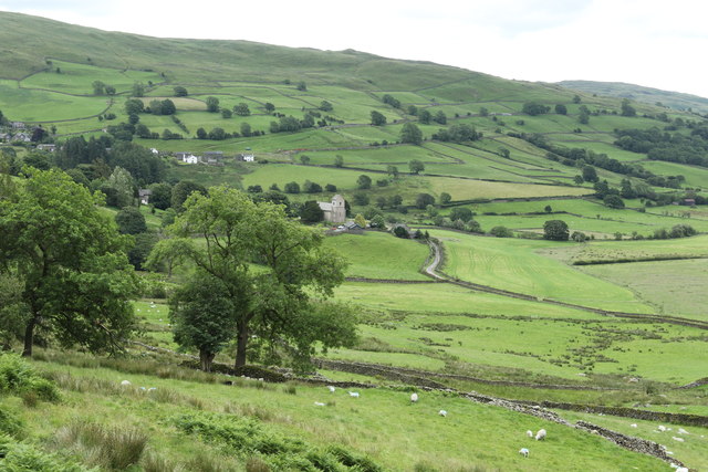
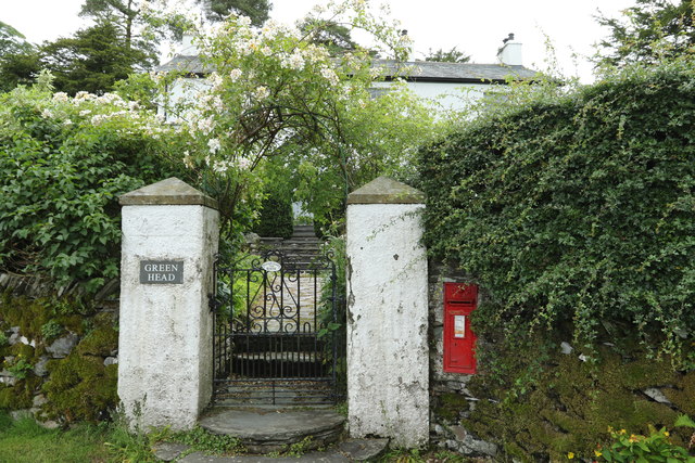
Kentmere
Kentmere is a valley, village and civil parish in the Lake District National Park, a few miles from Kendal in the Westmorland and Furness district of Cumbria...
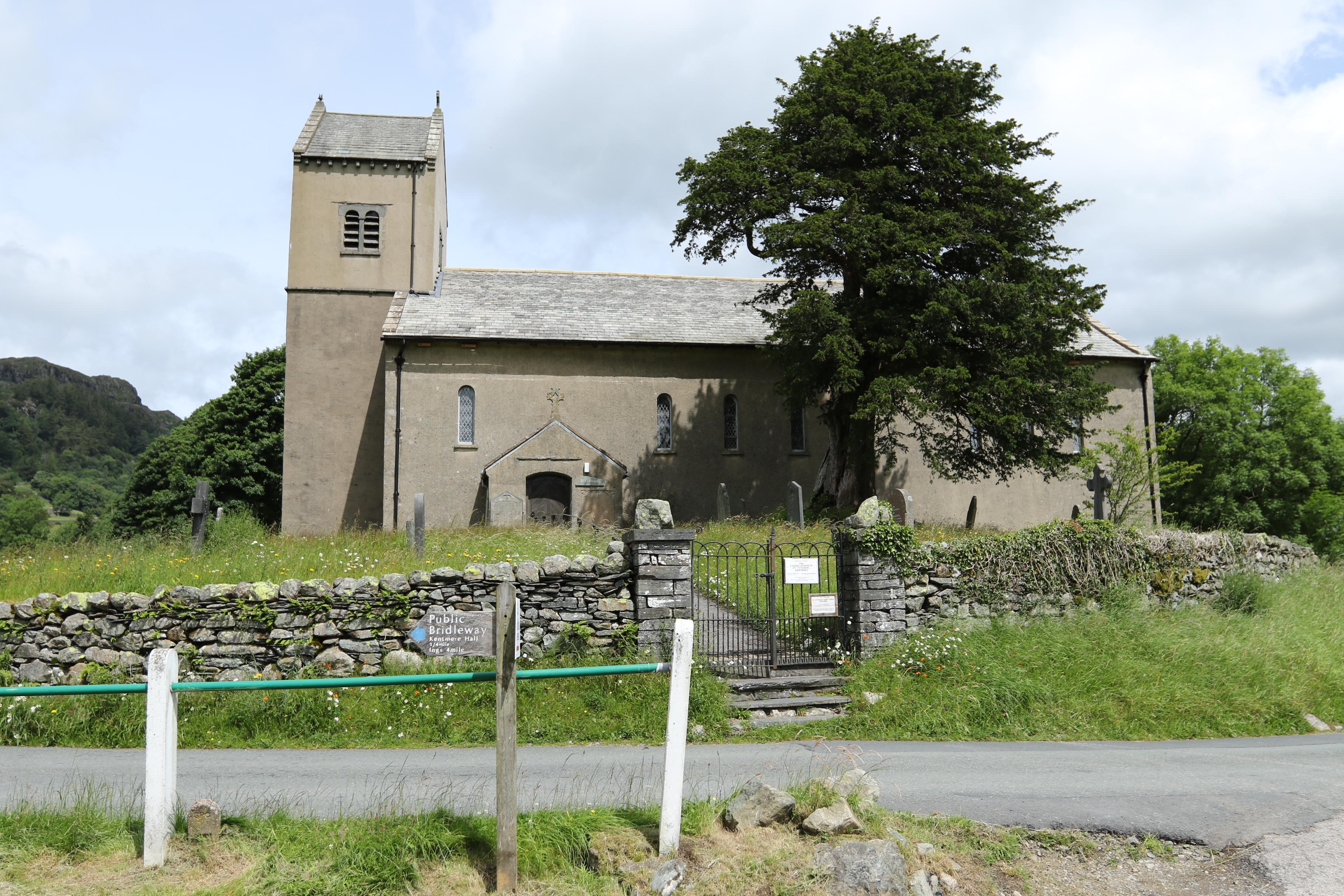
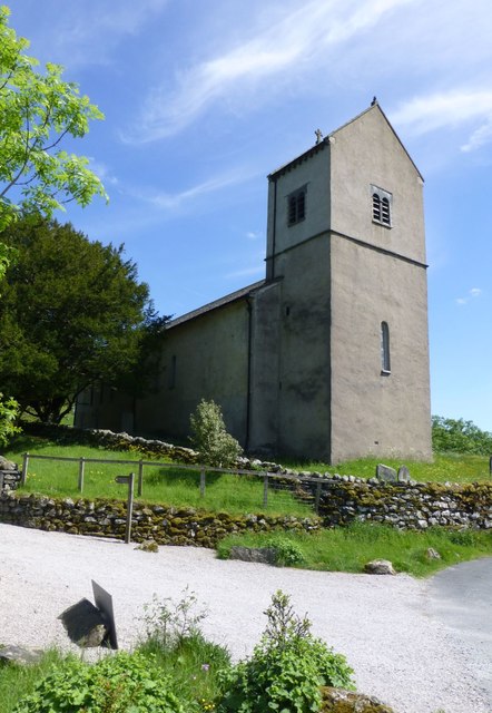
St Cuthbert's Church, Kentmere
St Cuthbert's Church, Kentmere is a Grade II listed parish church in the Church of England in Kentmere, Cumbria. Its benefice is united with that of St...

Green Quarter Fell
Green Quarter Fell is an upland area in the east of the English Lake District, near Kentmere village, Cumbria. It is the subject of a chapter of Wainwright...

Sallows
Sallows is a fell in the English Lake District, rising between the valleys of Kentmere and Troutbeck. It is the highest point in the upland area to the...
Nearby Amenities
Located within 500m of 54.416211,-2.8406153Have you been to Kentmere Tarn?
Leave your review of Kentmere Tarn below (or comments, questions and feedback).