Small Water

Lake, Pool, Pond, Freshwater Marsh in Westmorland Eden

England

Small Water

Taking a break on Harter Fell A 'geograph' contributor studies the map whilst taking a break on Harter Fell. The view is north west towards High Street with a glimpse of Blea Water.
Taking a break on Harter Fell Credit: Gordon Hatton

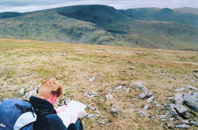
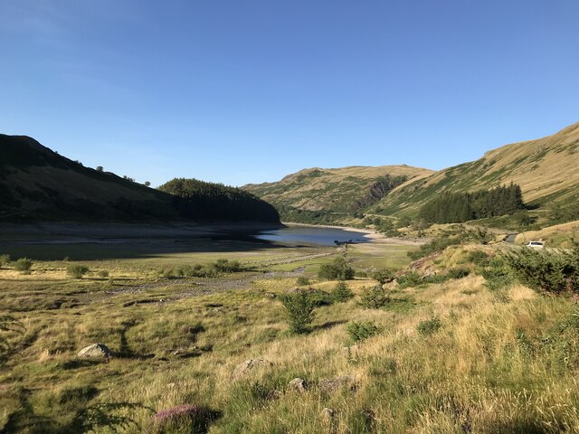
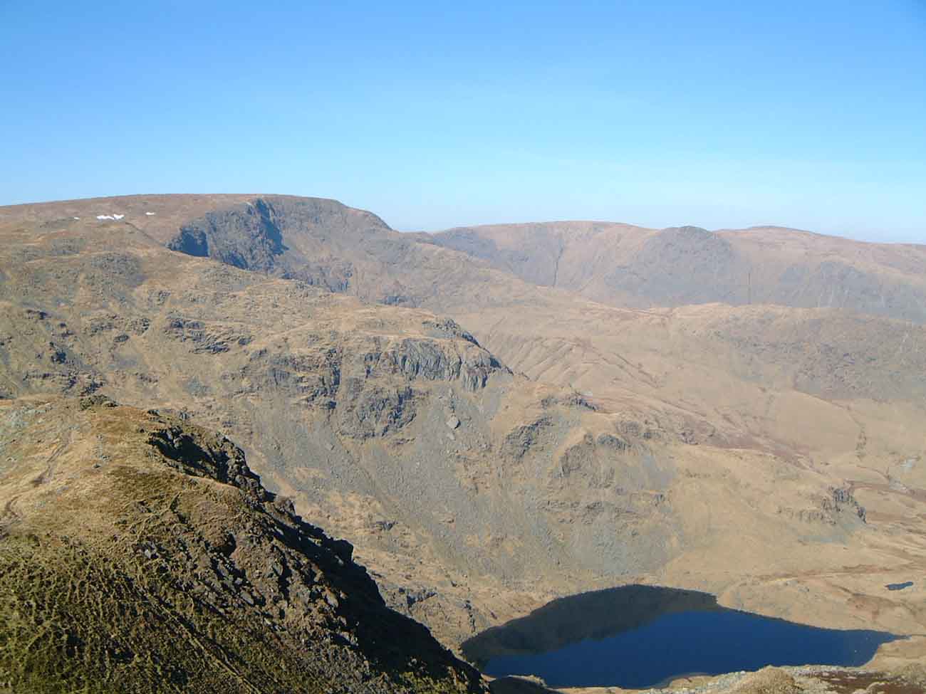
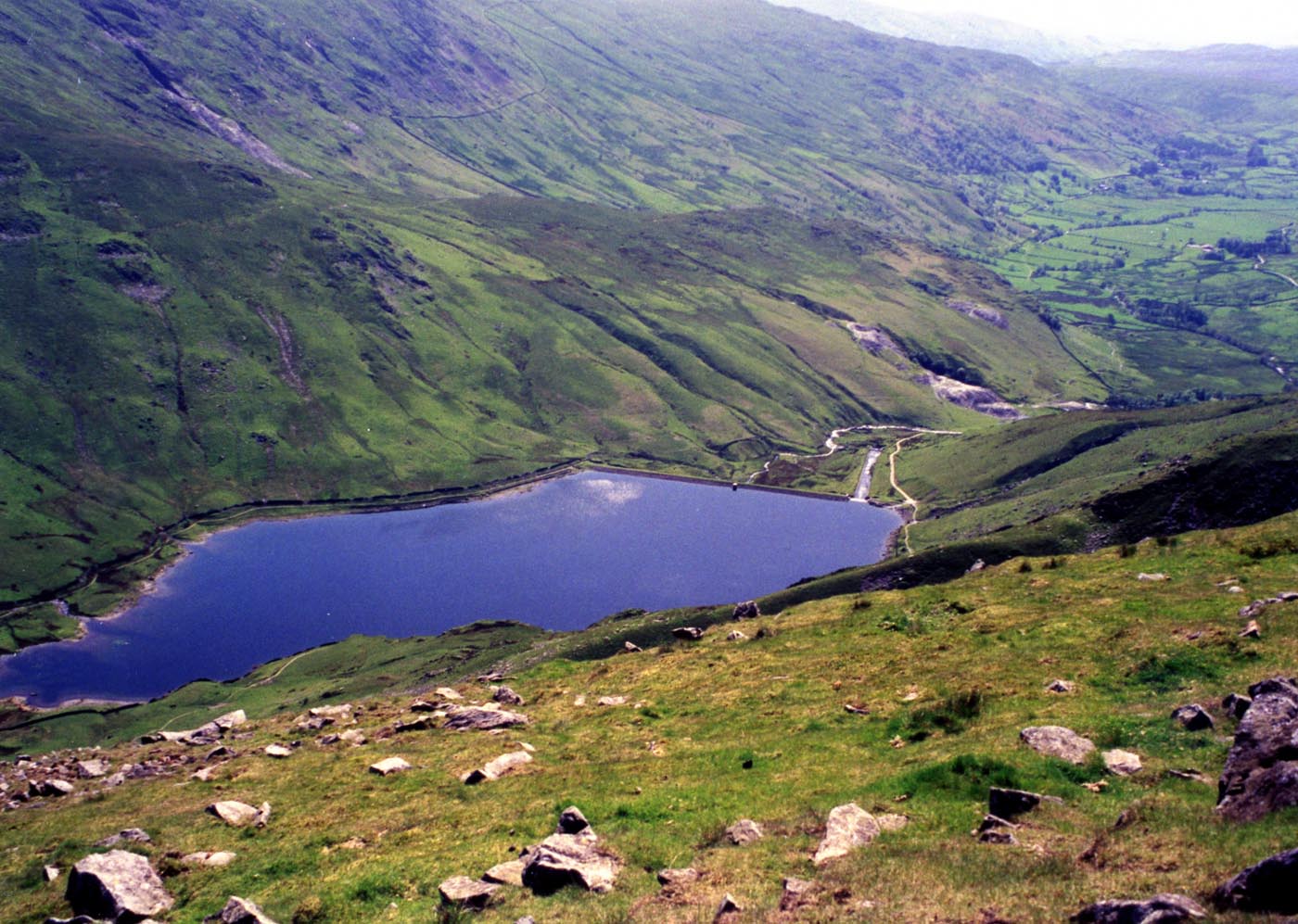
Small Water is a picturesque freshwater body located in the Westmorland region of England. Nestled amidst the scenic landscape of the Lake District National Park, it offers a serene and tranquil environment for nature enthusiasts.

Covering an area of approximately 2 hectares, Small Water is a small lake that is surrounded by lush greenery and rolling hills. It is fed by several small streams and springs, resulting in crystal-clear, freshwater. The lake has a relatively shallow depth, with the maximum depth reaching around 6 meters.

Small Water is known for its diverse aquatic ecosystem, supporting a variety of species. It is home to several fish species, including brown trout and perch, making it a popular spot for recreational fishing. The surrounding vegetation, such as reed beds and water lilies, provides shelter and food for a range of bird species, including ducks, swans, and herons.

The lake is also frequented by outdoor enthusiasts, who enjoy activities such as kayaking, canoeing, and wild swimming. The calm and peaceful atmosphere, coupled with the scenic surroundings, make Small Water an ideal location for these recreational pursuits.

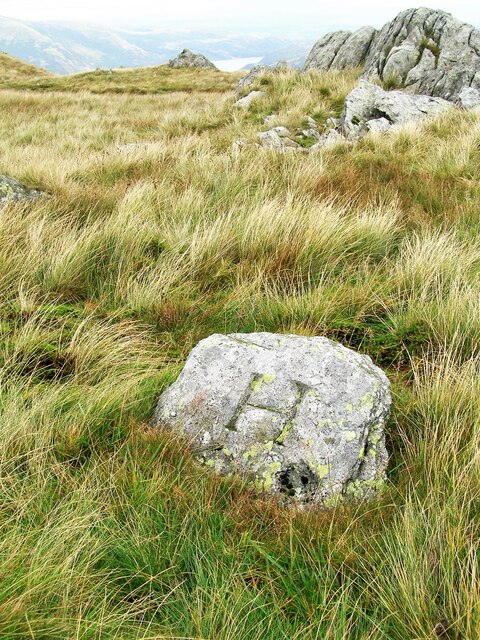
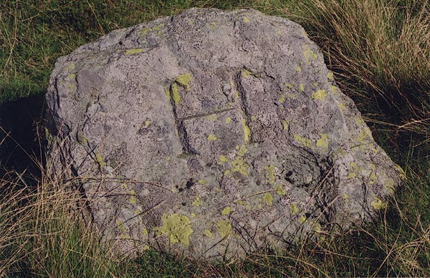
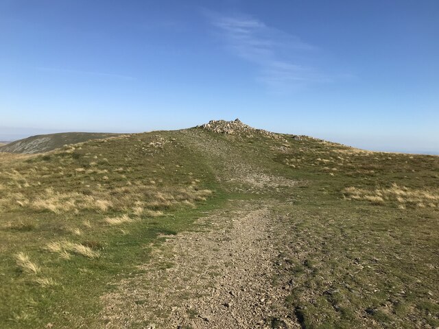
Additionally, Small Water is surrounded by several walking trails, offering breathtaking views of the lake and its surroundings. The area is rich in wildlife, with occasional sightings of red deer and otters adding to its charm.

Overall, Small Water in Westmorland is a hidden gem that showcases the beauty of the Lake District, providing a haven for both nature lovers and adventure seekers alike.

If you have any feedback on the listing, please let us know in the comments section below.

Small Water Images

Images are sourced within 2km of 54.482516/-2.8424227 or Grid Reference NY4510. Thanks to Geograph Open Source API. All images are credited.

Taking a break on Harter Fell A 'geograph' contributor studies the map whilst taking a break on Harter Fell. The view is north west towards High Street with a glimpse of Blea Water.
Taking a break on Harter Fell
A 'geograph' contributor studies the map whilst taking a break on Harter Fell. The view is north west towards High Street with a glimpse of Blea Water.
Old Boundary Marker on Little Harter Fell Estate Boundary Marker at the summit of Little Harter Fell. Inscribed H and L on opposite faces, which refer the Harrison and Lowther estates. On the boundary of Longsleddale and Shap Rural parishes. See also <span class="nowrap"><a title="http://www.geog.port.ac.uk/webmap/thelakes/photos/bjf03.jpg" rel="nofollow ugc noopener" href="http://www.geog.port.ac.uk/webmap/thelakes/photos/bjf03.jpg">Link</a><img style="margin-left:2px;" alt="External link" title="External link - shift click to open in new window" src="https://s1.geograph.org.uk/img/external.png" width="10" height="10"/></span> and <span class="nowrap"><a title="http://www.geog.port.ac.uk/webmap/thelakes/photos/bjf04.jpg" rel="nofollow ugc noopener" href="http://www.geog.port.ac.uk/webmap/thelakes/photos/bjf04.jpg">Link</a><img style="margin-left:2px;" alt="External link" title="External link - shift click to open in new window" src="https://s1.geograph.org.uk/img/external.png" width="10" height="10"/></span>.

Milestone Society National ID: WE_SHALON06em
Old Boundary Marker on Little Harter Fell
Estate Boundary Marker at the summit of Little Harter Fell. Inscribed H and L on opposite faces, which refer the Harrison and Lowther estates. On the boundary of Longsleddale and Shap Rural parishes. See also LinkExternal link and LinkExternal link. Milestone Society National ID: WE_SHALON06em
Riggindale Crag Looking down the long Riggindale ridge from the Long Stile end. Always the finest walking route up High Street, unless you happen to be a Roman soldier.
Riggindale Crag
Looking down the long Riggindale ridge from the Long Stile end. Always the finest walking route up High Street, unless you happen to be a Roman soldier.
Ascending Riggindale Crag An ageing 'geograph' contributor on the ascent of High Street via Riggindale Crag. Blea Water and its crag of the same name in the background.
Ascending Riggindale Crag
An ageing 'geograph' contributor on the ascent of High Street via Riggindale Crag. Blea Water and its crag of the same name in the background.
Trig pillar on High Street Highest point of the far eastern fells.
Trig pillar on High Street
Highest point of the far eastern fells.
Cairn on Eagle Crag
Cairn on Eagle Crag
Summit of Rough Crag
On Rough Crag
On Rough Crag
View of Riggindale Crag from Rough Crag
Caspel Gate and Riggindale Crag
View of Riggindale Crag from Long Stile
Summit of High Street
Path bifurcation on High Street
Cairn on the approach to Mardale Ill Bell
Tarn on Mardale Ill Bell
Summit Cairn on Mardale Ill Bell Haweswater can be seen beyond the cairn
Summit Cairn on Mardale Ill Bell
Haweswater can be seen beyond the cairn
Summit of Mardale Ill Bell
Falling water levels at Mardale Head A number of walls and tracks of the submerged village of Mardale Green are visible
Falling water levels at Mardale Head
A number of walls and tracks of the submerged village of Mardale Green are visible
Show me another place!

Small Water is located at Grid Ref: NY4510 (Lat: 54.482516, Lng: -2.8424227)

Administrative County: Cumbria

District: Eden

Police Authority: Cumbria

What 3 Words

///goat.testers.clotting. Near Ambleside, Cumbria

Nearby Locations

Small Water

Related Wikis

Mardale Ill Bell

Mardale Ill Bell is a fell in the English Lake District, rising to the south west of Haweswater Reservoir. It stands on the watershed between Mardale and...

Harter Fell (Mardale)

Harter Fell is a fell in the far eastern part of the English Lake District. The summit at lies the meeting point of three ridges, and Harter Fell forms...

Blea Water

Blea Water is a tarn or corrie lake which occupies a glacially excavated hollow immediately to the east of High Street in the Lake District, England. At...

High Street (Lake District)

High Street is a fell in the English Lake District. At 828 metres (2,717 ft), its summit is the highest point in the far eastern part of the national park...

Branstree

Branstree is a fell in the Far Eastern part of the English Lake District. It overlooks the valley of Mardale and Haweswater Reservoir. == Topography... ==

Kentmere Reservoir

Kentmere Reservoir is a water storage facility situated in the Kentmere valley in the county of Cumbria, England. It is located 10.5 kilometres (6.5 mi...

Thornthwaite Crag

Thornthwaite Crag is a fell in the English Lake District, standing to the west of Haweswater Reservoir. It is a focal point of the Far Eastern Fells, standing...

Kentmere Pike

Kentmere Pike is a fell in the English Lake District, rising between the valleys of Kentmere and Longsleddale. It is the highpoint on the ridge between...

Nearby Amenities

Located within 500m of 54.482516,-2.8424227
Source: npe
Lat/Long: 54.4835755/-2.8435462
Source: npe
Lat/Long: 54.4834242/-2.840045
Source: npe
Lat/Long: 54.4821855/-2.8418481
Source: npe
Lat/Long: 54.4817594/-2.8425609
Source: npe
Lat/Long: 54.4818826/-2.8445322
Source: npe
Lat/Long: 54.4831503/-2.8440762
Source: npe
Lat/Long: 54.4833879/-2.8422661
Ford: yes
Lat/Long: 54.4847342/-2.8369747
Black John Hole
Place: locality
Lat/Long: 54.4786068/-2.8393243
Mardale Waters
Place: locality
Lat/Long: 54.4856636/-2.843329
Ford: yes
Lat/Long: 54.4834515/-2.8400125
Shelter
Bench: no
Bin: no
Shelter Type: rock_shelter
Lat/Long: 54.4836587/-2.8437683
Shelter
Bench: no
Bin: no
Shelter Type: rock_shelter
Lat/Long: 54.4836426/-2.8438078
Shelter
Bench: no
Bin: no
Shelter Type: rock_shelter
Lat/Long: 54.4836242/-2.8438455
Ford: yes
Lat/Long: 54.4849526/-2.8362316
Ford: yes
Lat/Long: 54.4808988/-2.8476445
The data included in this document is from www.openstreetmap.org. The data is made available under ODbL.

Have you been to Small Water?

Leave your review of Small Water below (or comments, questions and feedback).