Cumla Geo

Coastal Feature, Headland, Point in Orkney

Scotland

Cumla Geo

Brough Ness Southern tip of South Ronaldsay overlooking the Pentland Firth.
Brough Ness Credit: Eirian Evans

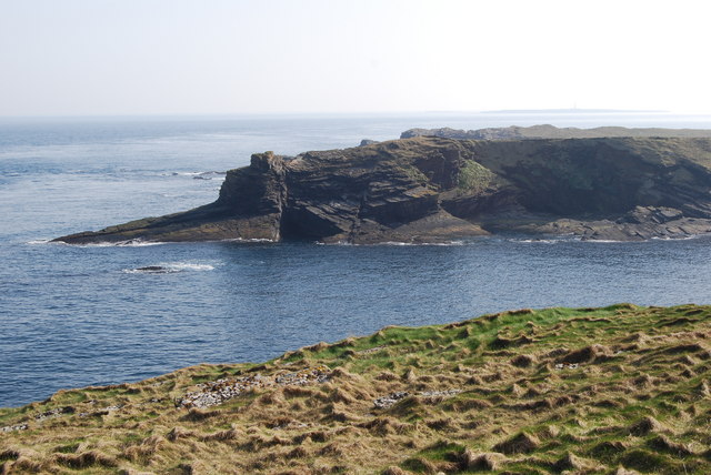
Cumla Geo is a prominent coastal feature located on the Orkney Islands, an archipelago situated off the northeastern coast of mainland Scotland. Specifically, it is situated on the island of Hoy, which is the second-largest island in the Orkney group. Cumla Geo is classified as a headland or point, characterized by its distinct protrusion into the sea.

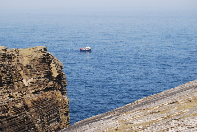
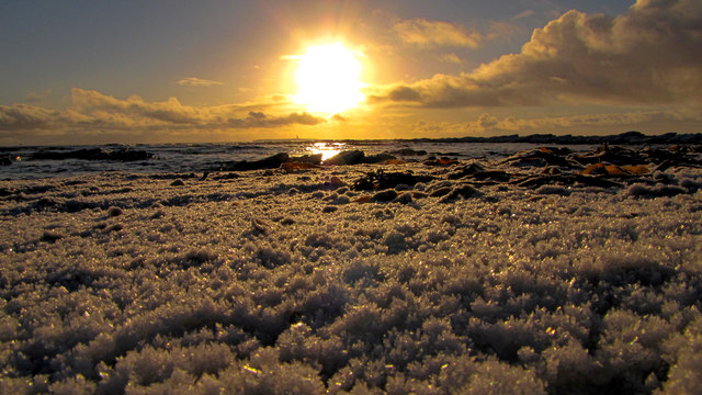
The headland is formed by rugged cliffs that rise steeply from the surrounding waters, reaching heights of approximately 200 meters (656 feet) in some places. These cliffs are composed of sandstone and are known for their striking geological formations, including intricate layers and patterns that tell a story of the area's ancient past.

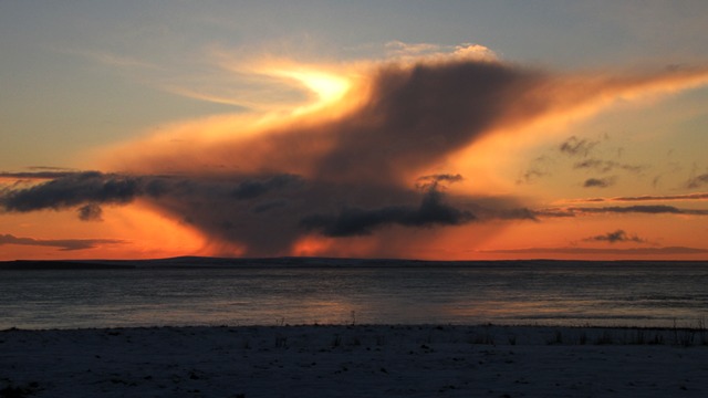
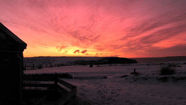
Cumla Geo offers breathtaking panoramic views of the North Atlantic Ocean, with its location on the western coast of Hoy providing a prime vantage point for observing the dramatic seascape and the neighboring islands. The headland is also known for its rich wildlife, serving as a habitat for various seabird species, including puffins, guillemots, and razorbills.

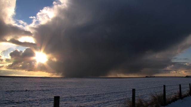
Access to Cumla Geo is possible via a well-maintained footpath that leads visitors through heather-covered moorland and offers an immersive experience with the island's natural beauty. However, caution is advised when exploring the headland due to the steep cliffs and potentially treacherous conditions, especially during inclement weather.

Cumla Geo exemplifies the rugged and picturesque coastal landscape that makes the Orkney Islands a popular destination for nature enthusiasts and outdoor adventurers alike. Its unique geological features and stunning vistas make it a must-visit location for those seeking a memorable experience on the island of Hoy.

If you have any feedback on the listing, please let us know in the comments section below.
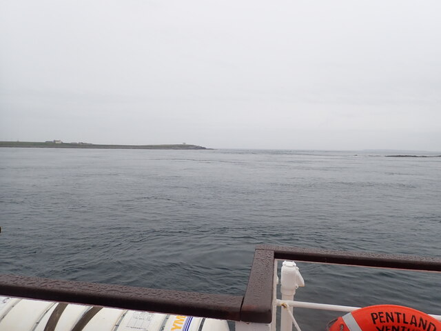
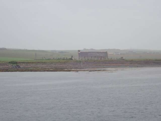
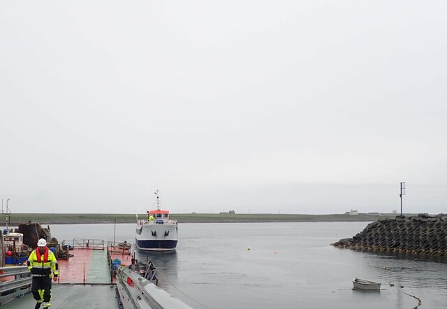
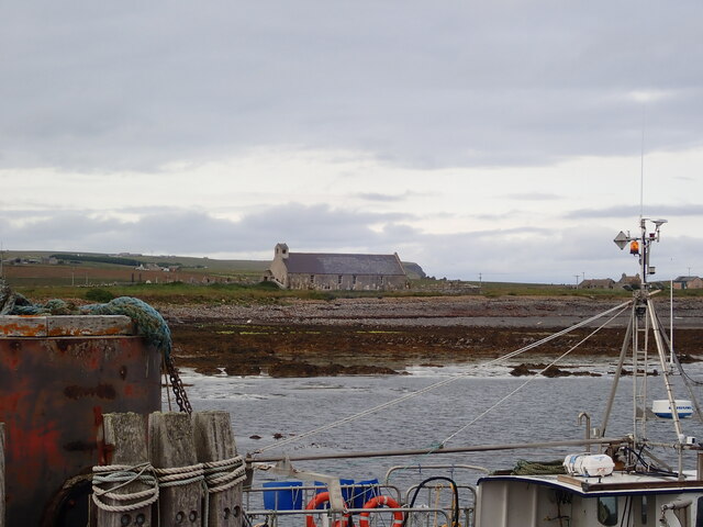
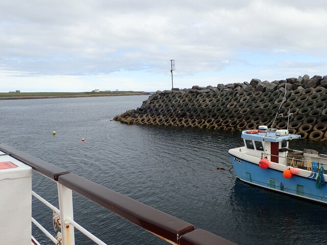
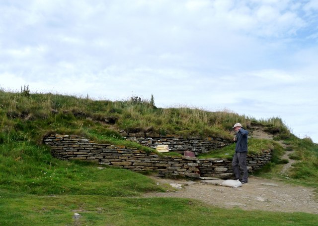
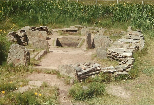
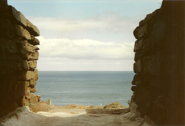
Cumla Geo Images

Images are sourced within 2km of 58.73369/-2.9398369 or Grid Reference ND4583. Thanks to Geograph Open Source API. All images are credited.

Brough Ness Southern tip of South Ronaldsay overlooking the Pentland Firth.
Brough Ness
Southern tip of South Ronaldsay overlooking the Pentland Firth.
St Mary's Church, Burwick Old St Mary’s is in the very south of the south parish at Burwick. It is on the site where the first Christian missionaries reputedly arrived in Orkney. The church is thought to have last been used for regular worship around 1959, then used for occasional services until around 1995. It is on the Churches at Risk register, especially since it was struck by lightning in 2013.
St Mary's Church, Burwick
Old St Mary’s is in the very south of the south parish at Burwick. It is on the site where the first Christian missionaries reputedly arrived in Orkney. The church is thought to have last been used for regular worship around 1959, then used for occasional services until around 1995. It is on the Churches at Risk register, especially since it was struck by lightning in 2013.
Pentland Venture ferry at Burwick
St Mary's Church, Burwick A better view of the church than when we arrived earlier in the day <a href="https://www.geograph.org.uk/photo/7443070">ND4384 : St Mary's Church, Burwick</a>. Old St Mary’s is in the very south of the south parish at Burwick. It is on the site where the first Christian missionaries reputedly arrived in Orkney. The church is thought to have last been used for regular worship around 1959, then used for occasional services until around 1995. It is on the Churches at Risk register, especially since it was struck by lightning in 2013.
St Mary's Church, Burwick
A better view of the church than when we arrived earlier in the day ND4384 : St Mary's Church, Burwick. Old St Mary’s is in the very south of the south parish at Burwick. It is on the site where the first Christian missionaries reputedly arrived in Orkney. The church is thought to have last been used for regular worship around 1959, then used for occasional services until around 1995. It is on the Churches at Risk register, especially since it was struck by lightning in 2013.
Breakwater at Burwick Ferry Port
Fishing boat, by the Tomb of the Eagles
View of Hamm geo, from the path away from the Tomb of the Eagles
Tomb of the Eagles, South Ronaldsay
Sunset
Sunset
Cloudy
Cloudy
Coastguard lookout Brough Ness
Sky on fire
Sky on fire
Bronze Age House at Liddel Farm
Looking out to sea from the Tomb of the Eagles, South Ronaldsay
Cold day
Cold day
Old Ambulance An old World War Two German ambulance subsequently used as a caravan and abandoned near the Bronze Age burnt mound
Old Ambulance
An old World War Two German ambulance subsequently used as a caravan and abandoned near the Bronze Age burnt mound
Bronze Age House The remains of a bronze age house
Bronze Age House
The remains of a bronze age house
Cliffs at Ham Geo The cliffs at Ham Geo
Cliffs at Ham Geo
The cliffs at Ham Geo
Show me another place!

Cumla Geo is located at Grid Ref: ND4583 (Lat: 58.73369, Lng: -2.9398369)

Unitary Authority: Orkney Islands

Police Authority: Highlands and Islands

What 3 Words

///unfair.snapped.midwinter. Near St Margaret's Hope, Orkney Islands

Related Wikis

Tomb of the Eagles

The Tomb of the Eagles, or Isbister Chambered Cairn, is a Neolithic chambered tomb located on a cliff edge at Isbister on South Ronaldsay in Orkney, Scotland...

Liddle Burnt Mound

Liddle Burnt Mound is a Bronze Age site on the island of South Ronaldsay, Orkney. The site consists of the remains of a building and a mound that surrounds...

Burwick, Orkney

Burwick () is a small harbour on the island of South Ronaldsay in the Orkney Islands, Scotland. It is the closest Orkney harbour to the Scottish mainland...

HMS Opal (1915)

HMS Opal was an Admiralty M-class destroyer of the Royal Navy. She served in the First World War following her construction at Sunderland in 1915. Attached...

Nearby Amenities

Located within 500m of 58.73369,-2.9398369
Parking
Wheelchair: yes
Lat/Long: 58.7347475/-2.937649
Cafe
Skerries Bistro
Toilets: yes
Toilets Wheelchair: yes
Wheelchair: yes
Lat/Long: 58.7346103/-2.9377323
Liddle
Not Name: Liddel
Note Name: OS has Liddel, but locals apparently use Liddle
Place: hamlet
Source Name: http://www.tomboftheeagles.co.uk/
Lat/Long: 58.7375398/-2.9359743
Banks Head
Place: locality
Lat/Long: 58.7327109/-2.9341065
Tomb of the Otters
Historic: archaeological_site
Toilets Wheelchair: yes
Wheelchair: yes
Lat/Long: 58.7348076/-2.9379061
Power: pole
Lat/Long: 58.7347314/-2.938446
Power: pole
Lat/Long: 58.7351577/-2.9376724
Power: pole
Lat/Long: 58.7358069/-2.9379085
Power: pole
Lat/Long: 58.7363896/-2.9381044
Power: pole
Lat/Long: 58.7369501/-2.9383054
Power: pole
Lat/Long: 58.7375549/-2.9385139
Power: pole
Lat/Long: 58.7379225/-2.9391343
Power: pole
Lat/Long: 58.7376879/-2.9372027
The data included in this document is from www.openstreetmap.org. The data is made available under ODbL.

Have you been to Cumla Geo?

Leave your review of Cumla Geo below (or comments, questions and feedback).