Lickfold

Settlement in Sussex Horsham

England

Lickfold

Junction of Rectory Lane with Lower Street
Junction of Rectory Lane with Lower Street Credit: Shazz

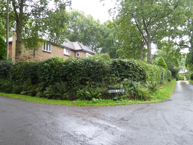
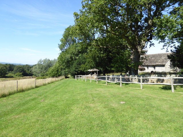
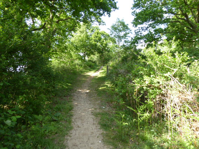
Lickfold is a small village located in the county of Sussex, in the southeastern part of England. Situated about 5 miles northwest of the market town of Midhurst, Lickfold falls within the district of Chichester. The village is nestled amidst the picturesque South Downs National Park, renowned for its rolling hills and stunning countryside.

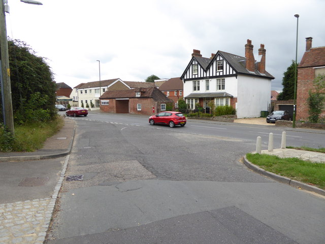
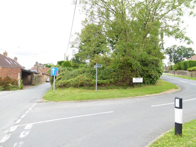
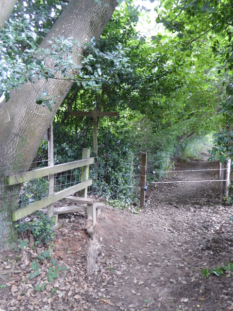
Lickfold is a quintessential English village, with a population of around 200 residents. It boasts a tranquil and idyllic setting, surrounded by beautiful landscapes and farmland. The village itself is characterized by its charming cottages, some dating back several centuries, which add to its quaint and historic atmosphere.

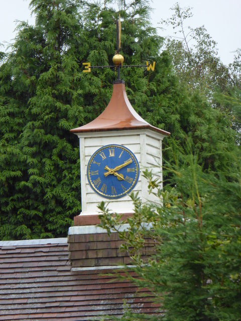
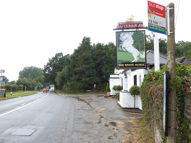
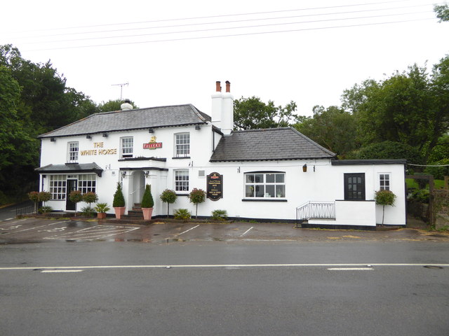
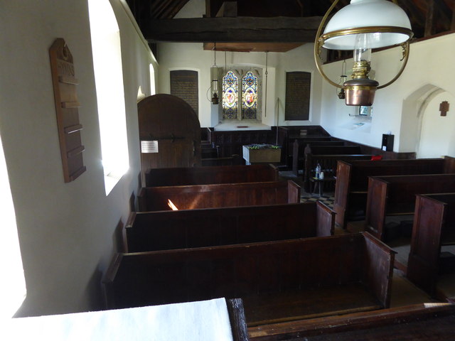
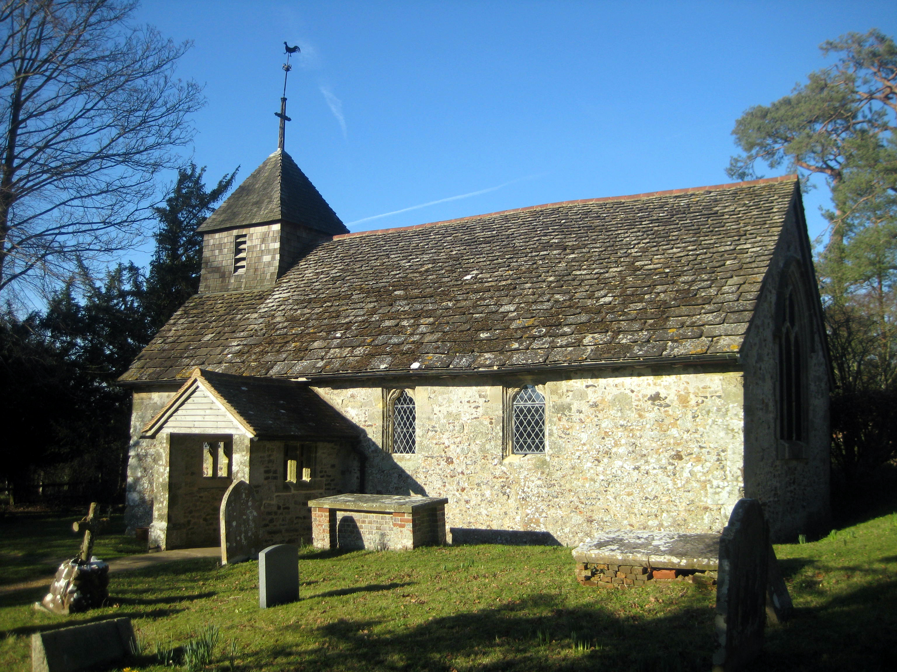
While Lickfold is primarily a residential area, it does offer a few amenities for its residents and visitors. The village is home to a traditional pub, known for its warm hospitality and serving classic British dishes. Additionally, there is a parish church, which stands as a focal point within the community and holds regular services.

One of the main attractions near Lickfold is the Cowdray Estate, situated just a short distance away. This historic estate features a majestic Tudor mansion, Cowdray House, dating back to the 16th century. Visitors can explore the stunning gardens, take a leisurely stroll through the parkland, or engage in various outdoor activities such as golf or clay pigeon shooting.

Overall, Lickfold provides a peaceful and scenic retreat, ideal for those seeking a countryside getaway or a taste of traditional English village life.

If you have any feedback on the listing, please let us know in the comments section below.

Lickfold Images

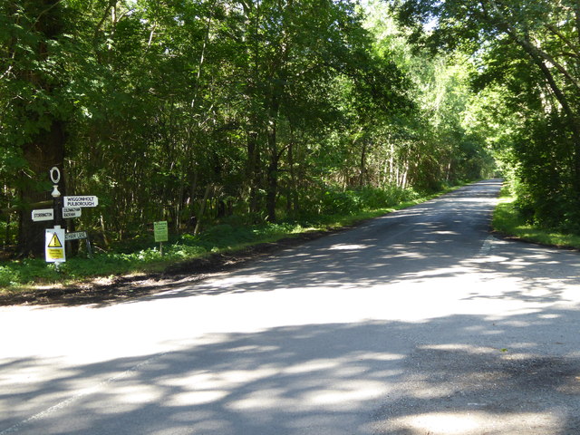
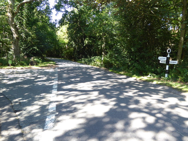
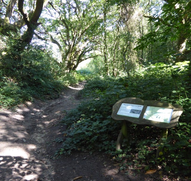
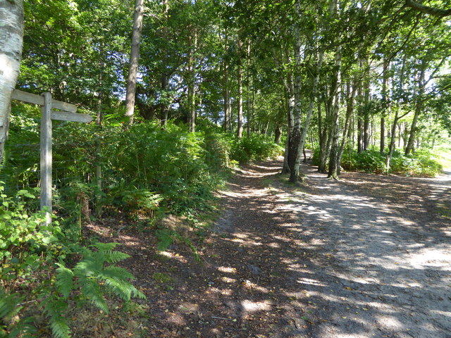
Images are sourced within 2km of 50.944636/-0.48668521 or Grid Reference TQ0617. Thanks to Geograph Open Source API. All images are credited.

Junction of Rectory Lane with Lower Street
Junction of Rectory and Moat Lanes See <a title="https://www.geograph.org.uk/photo/2460125" href="https://www.geograph.org.uk/photo/2460125">Link</a> for a view from another direction.
Junction of Rectory and Moat Lanes
See Link for a view from another direction.
Clock and weathervane in Nutbourne The weathervane is at an unfortunate angle - I wonder what it is.
Clock and weathervane in Nutbourne
The weathervane is at an unfortunate angle - I wonder what it is.
Crossing footpaths seen from the east
Crossing footpaths seen from the south See also <a href="https://www.geograph.org.uk/photo/4621464">TQ0618 : Crossing footpaths seen from the east</a>.
Crossing footpaths seen from the south
Junction of Kings and West Mare Lanes
Looking past the sign of the White Horse
"The White Horse" PH See also <a title="https://www.geograph.org.uk/photo/4008932" href="https://www.geograph.org.uk/photo/4008932">Link</a>.
"The White Horse" PH
See also Link.
Information board at Pulborough Brooks
Looking northwards from information board at Pulborough Brooks The River Arun is on the left and Pulborough is ahead in the next grid square to the north.
Looking northwards from information board at Pulborough Brooks
The River Arun is on the left and Pulborough is ahead in the next grid square to the north.
Beside the River Arun in Pulborough Brooks The footbridge seen on the right is on the northern edge of the grid square.
Beside the River Arun in Pulborough Brooks
The footbridge seen on the right is on the northern edge of the grid square.
Signpost at junction on Greatham Lane
Looking westwards on Greatham Road See also <a title="https://www.geograph.org.uk/photo/1336134" href="https://www.geograph.org.uk/photo/1336134">Link</a> and <a href="https://www.geograph.org.uk/photo/4625837">TQ0615 : Signpost at junction on Greatham Lane</a>.
Looking westwards on Greatham Road
Junction of Greatham Lane and Rackham Street Rackham Street is the more minor road.
See also <a title="https://www.geograph.org.uk/photo/1328721" href="https://www.geograph.org.uk/photo/1328721">Link</a>.
Junction of Greatham Lane and Rackham Street
Rackham Street is the more minor road. See also Link.
Bridleway on Wiggonholt Common
Junction of footpath and bridleway on Wiggonholt Common
Church at Wiggonholt See <a title="https://www.geograph.org.uk/photo/159396" href="https://www.geograph.org.uk/photo/159396">Link</a> for picture from 2000.
Church at Wiggonholt
See Link for picture from 2000.
View from the pulpit in Wiggonholt church
Show me another place!

Lickfold is located at Grid Ref: TQ0617 (Lat: 50.944636, Lng: -0.48668521)

Administrative County: West Sussex

District: Horsham

Police Authority: Sussex

What 3 Words

///stormed.polygraph.stumble. Near Pulborough, West Sussex

Nearby Locations

Lickfold

Related Wikis

Wiggonholt

Wiggonholt is a village and former civil parish, now in the parish of Parham, in the Horsham district of West Sussex, England. It is 1.5 miles (2.4 km...

Hurston Warren

Hurston Warren is a 69.1-hectare (171-acre) biological Site of Special Scientific Interest south-east of Pulborough in West Sussex. This site has a variety...
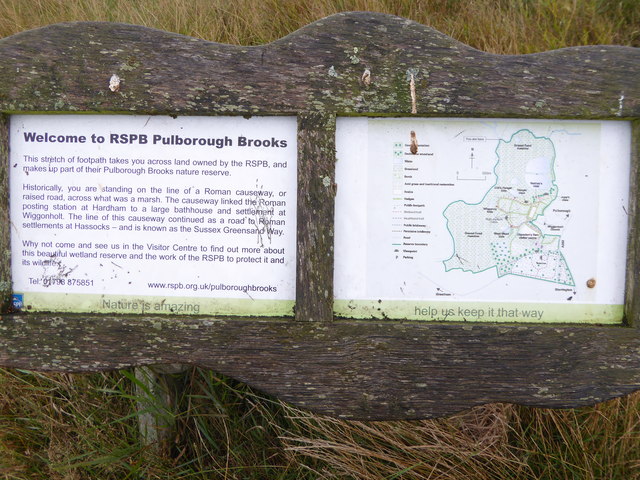
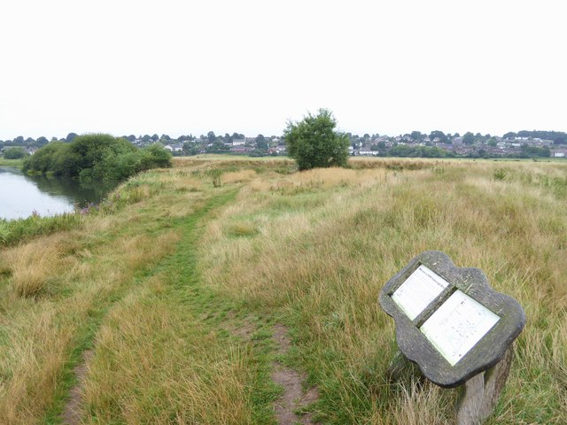
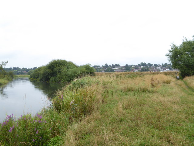
Pulborough Brooks

Pulborough Brooks is a 160-hectare (400-acre) biological Site of Special Scientific Interest south of Pulborough in West Sussex. It is part of the Pulborough...

Marehill

Marehill is a hamlet in the Horsham District of West Sussex, England. It lies on the A283 road 0.6 miles (1 km) east of Pulborough. == External links... ==

Nearby Amenities

Located within 500m of 50.944636,-0.48668521
Barrier: stile
Lat/Long: 50.9434165/-0.482616
Bus Stop
Pullborough Road
Bus: yes
Naptan AtcoCode: 4400HR0741
Naptan Bearing: S
Naptan BusStopType: CUS
Naptan CommonName: Pullborough Road
Naptan Indicator: HAR
Naptan Landmark: Hail & Ride
Naptan NaptanCode: wsxdwdtp
Naptan Street: Pullborough Road
Naptan Verified: no
Public Transport: platform
Source: naptan_import
Lat/Long: 50.9452546/-0.4858767
Bus Stop
Pullborough Road
Bus: yes
Naptan AtcoCode: 4400HR0742
Naptan Bearing: N
Naptan BusStopType: CUS
Naptan CommonName: Pullborough Road
Naptan Indicator: HAR
Naptan Landmark: Hail & Ride
Naptan NaptanCode: wsxdwdtw
Naptan Street: Pullborough Road
Naptan Verified: no
Public Transport: platform
Source: naptan_import
Lat/Long: 50.9452559/-0.4859763
Barrier: stile
Foot: yes
Lat/Long: 50.9460813/-0.4908729
Barrier: stile
Foot: yes
Lat/Long: 50.9435099/-0.4904641
Barrier: stile
Foot: yes
Lat/Long: 50.9476254/-0.4909047
Barrier: stile
Foot: yes
Lat/Long: 50.9423272/-0.492133
Barrier: stile
Foot: yes
Lat/Long: 50.9452024/-0.4899818
Lickfold Roman bath house
Archaeological Site: roman_villa
Historic: archaeological_site
Historic Civilization: ancient_roman
Website: https://www.pastscape.org.uk/hob.aspx?hob_id=392908
Wikidata: Q17644165
Lat/Long: 50.9476471/-0.4856277
Tourism: viewpoint
Lat/Long: 50.9443943/-0.4925896
Power: pole
Lat/Long: 50.9462966/-0.4839931
Power: pole
Lat/Long: 50.9472106/-0.4841897
Power: pole
Lat/Long: 50.9484679/-0.4843935
Link Farm
Place: farm
Lat/Long: 50.9451381/-0.4866723
Lickfold Farm
Place: isolated_dwelling
Lat/Long: 50.9444396/-0.4868154
Winterfield Farm
Place: farm
Lat/Long: 50.9481479/-0.4831939
Communication Mobile Phone: yes
Man Made: mast
Tower Type: communication
Lat/Long: 50.9475175/-0.4856243
The data included in this document is from www.openstreetmap.org. The data is made available under ODbL.

Have you been to Lickfold?

Leave your review of Lickfold below (or comments, questions and feedback).