Cu' Dhèis
Settlement in Argyllshire
Scotland
Cu' Dhèis

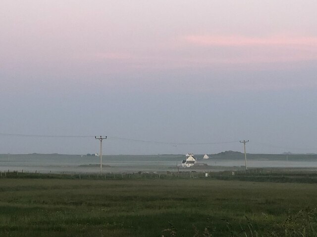
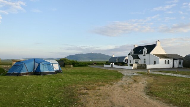
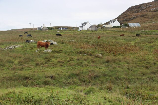
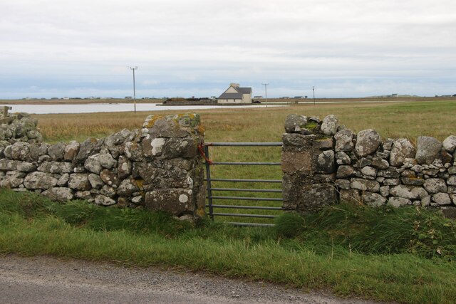
Cu' Dhèis, Argyllshire is a small village located on the southwestern coast of Scotland. Situated in the historic county of Argyllshire, this picturesque hamlet is nestled amidst stunning natural beauty and offers a tranquil retreat for visitors seeking solace in nature.
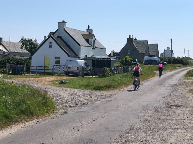
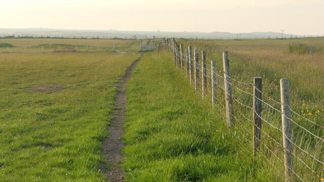
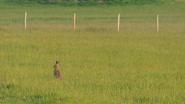
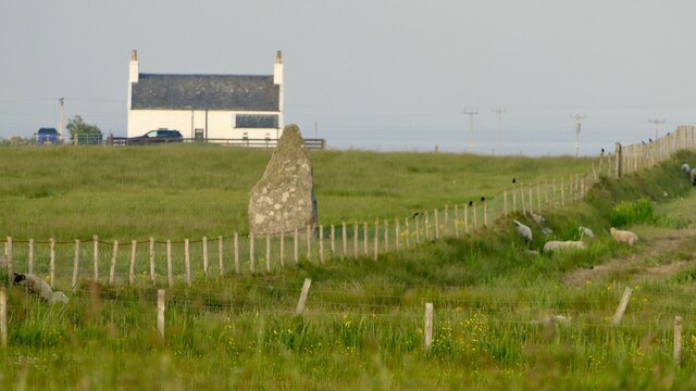
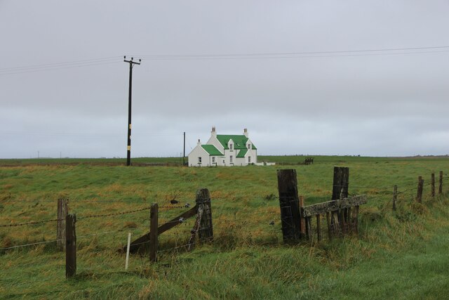
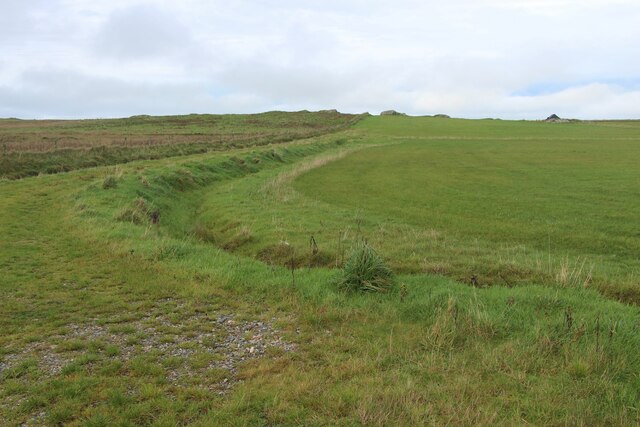
The village boasts a population of around 500 residents, creating a close-knit community atmosphere. Cu' Dhèis is known for its charming whitewashed cottages, which add to the village's quaint appeal. The stunning backdrop of rolling hills and lush greenery provides an enchanting setting for outdoor enthusiasts and hikers.
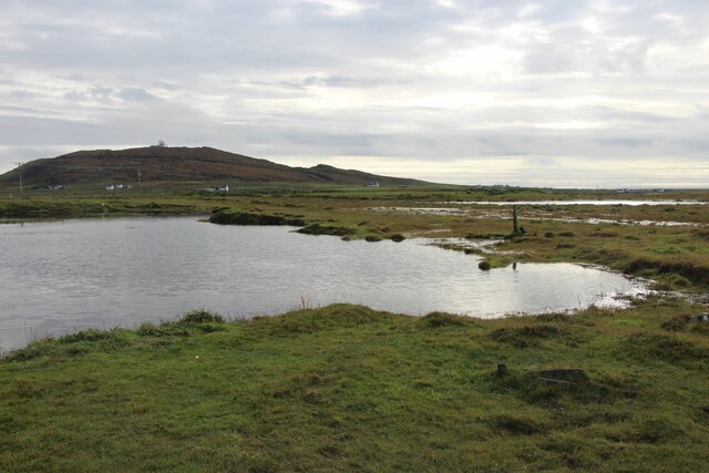
The village is ideally situated near the coast, allowing residents and visitors to take advantage of the stunning sandy beaches and breathtaking sea views. Water sports enthusiasts can enjoy activities such as sailing, kayaking, and fishing in the nearby coastal waters.
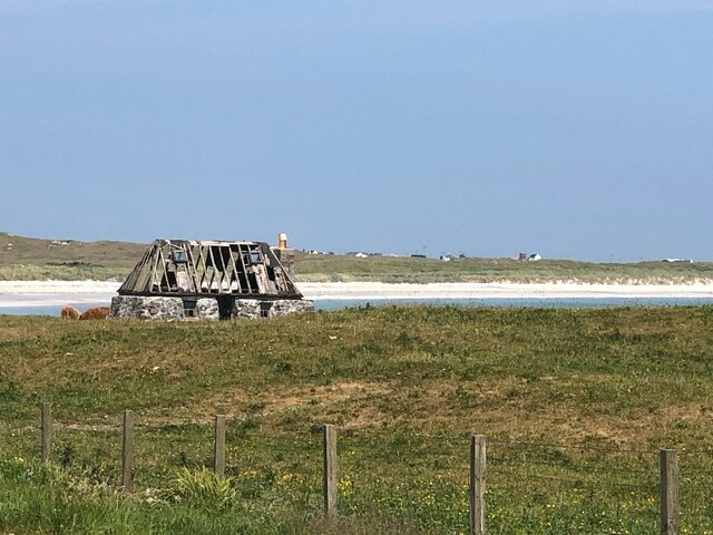
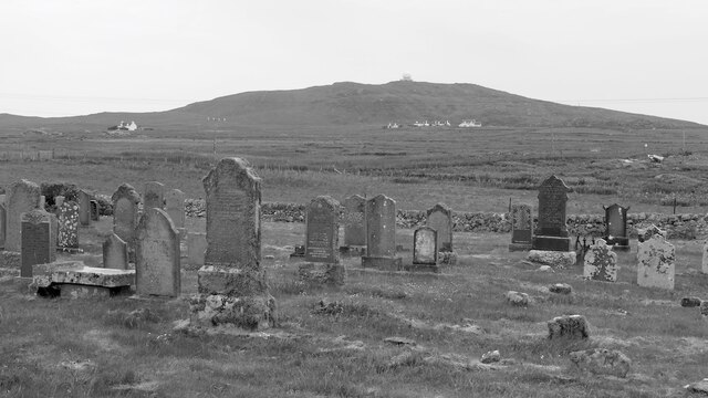
Cu' Dhèis also has a rich cultural heritage, with several historical landmarks and sites of interest. The ruins of a medieval castle, believed to have been built in the 13th century, stand as a testament to the area's historical significance. Additionally, the village is home to a small museum that showcases the region's history, including its fishing and maritime traditions.
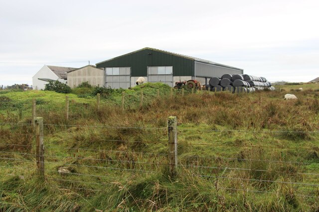
In terms of amenities, Cu' Dhèis offers a range of facilities to cater to residents and visitors. These include a few local shops, quaint cafes, and traditional pubs where visitors can sample local delicacies and enjoy the warm hospitality of the locals.
Overall, Cu' Dhèis, Argyllshire epitomizes the charm of a rural Scottish village, offering a peaceful retreat surrounded by natural beauty and a rich cultural heritage.
If you have any feedback on the listing, please let us know in the comments section below.
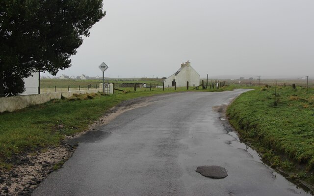
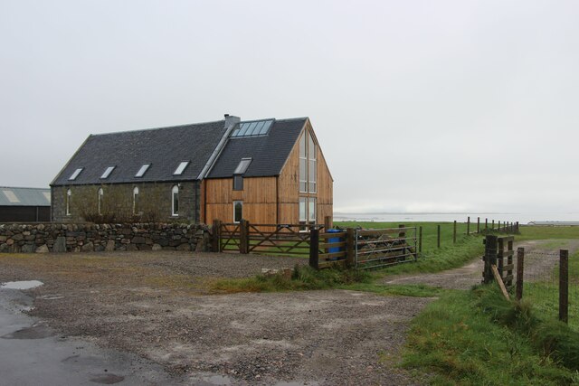
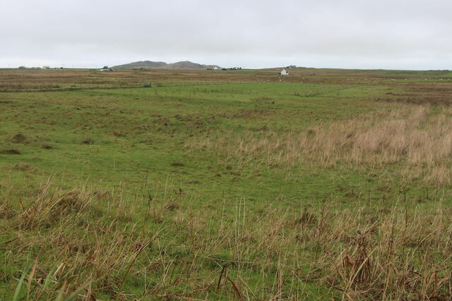
Cu' Dhèis Images
Images are sourced within 2km of 56.471346/-6.9003549 or Grid Reference NL9841. Thanks to Geograph Open Source API. All images are credited.
Cu' Dhèis is located at Grid Ref: NL9841 (Lat: 56.471346, Lng: -6.9003549)
Unitary Authority: Argyll and Bute
Police Authority: Argyll and West Dunbartonshire
What 3 Words
///chops.commuted.mailer. Near Scarinish, Argyll & Bute
Nearby Locations
Related Wikis

Mannal
Mannal is a coastal hamlet on the west side of Hynish Bay, on the island of Tiree, Scotland. The township of Mannal lies on the southwest corner of Tiree...

Tiree Music Festival
Tiree Music Festival is a Scottish folk music festival held annually on the Island of Tiree in the Inner Hebrides. The festival was founded in 2010 by...

Tiree Airport
Tiree Airport (Scottish Gaelic: Port-adhair Thiriodh) (IATA: TRE, ICAO: EGPU) is located 2.5 nautical miles (4.6 km; 2.9 mi) north northeast of Balemartine...

Scarinish
Scarinish (Scottish Gaelic: Sgairinis [ˈs̪kaɾʲɪnɪʃ]) is the main village on the island of Tiree, in the Inner Hebrides of Scotland. It is located on the...

Tiree
Tiree (; Scottish Gaelic: Tiriodh, pronounced [ˈtʲʰiɾʲəɣ]) is the most westerly island in the Inner Hebrides of Scotland. The low-lying island, southwest...

Dun Mor Vaul
Dun Mor Vaul (or simply Dun Mor; Scottish Gaelic: Dùn Mòr) is an iron-age broch located on the north coast of the island of Tiree, in Scotland. ��2�...
Nearby Amenities
Located within 500m of 56.471346,-6.9003549Have you been to Cu' Dhèis?
Leave your review of Cu' Dhèis below (or comments, questions and feedback).