Port na Luinge
Sea, Estuary, Creek in Argyllshire
Scotland
Port na Luinge
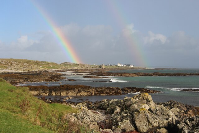
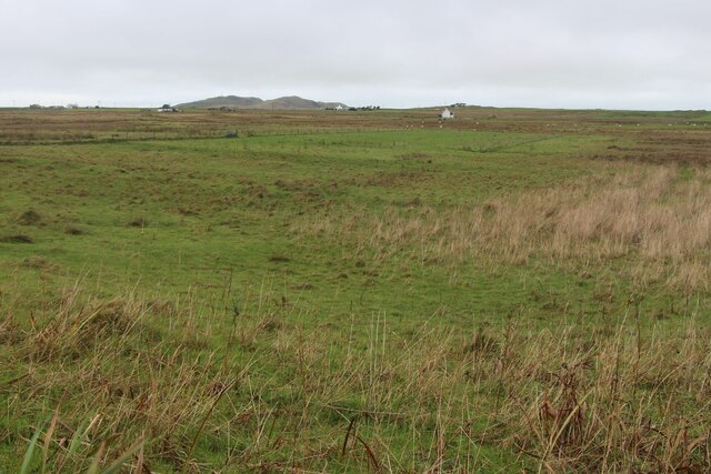
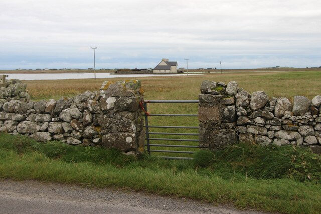
Port na Luinge is a picturesque coastal settlement located in Argyllshire, Scotland. Situated on the western coast of the country, it lies on the shores of a stunning sea inlet, known as an estuary or creek. The settlement is surrounded by breathtaking natural beauty, with rolling hills and lush greenery dominating the landscape.
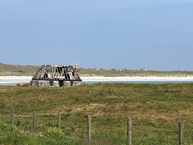
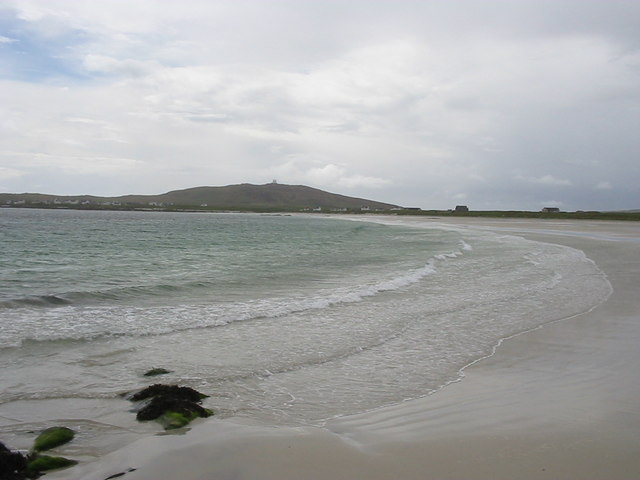
The estuary at Port na Luinge serves as a gateway to the sea, offering a sheltered harbor for boats and ships to anchor. It is characterized by its calm and tranquil waters, making it an ideal spot for fishing and sailing enthusiasts. The creek is also home to a diverse range of marine life, including various species of fish and seabirds.
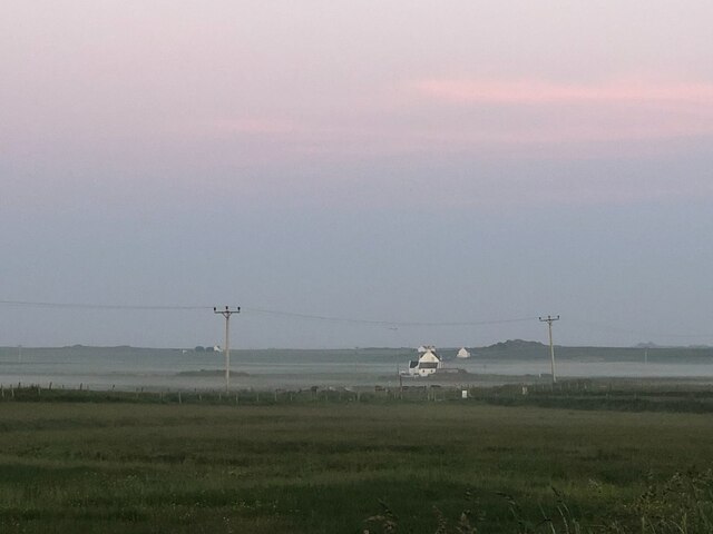
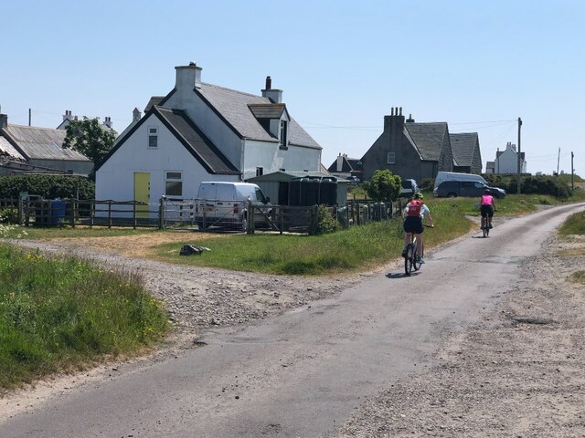
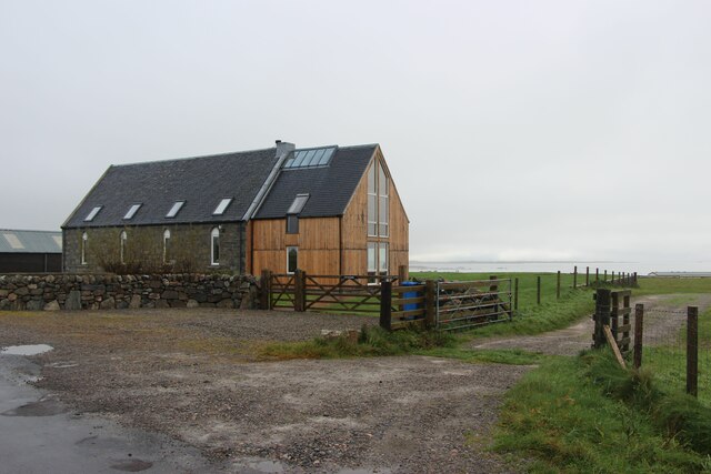
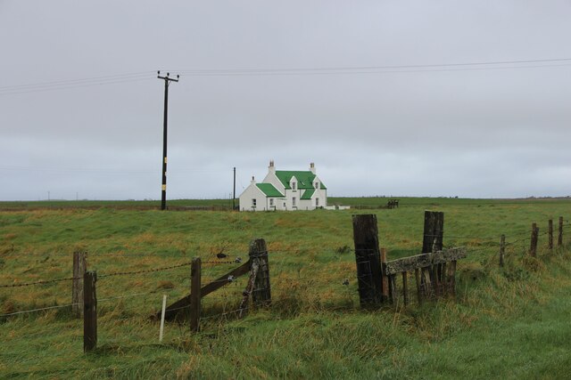
The settlement itself is small but charming, with a handful of traditional cottages and buildings scattered along the coastline. The local community is tight-knit and welcoming, with a strong connection to the sea and its resources. Fishing has historically been a crucial part of the local economy, and remnants of this industry can still be seen in the form of small fishing boats and fishing gear scattered around the harbor.
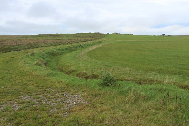
Visitors to Port na Luinge can enjoy the peaceful ambiance and stunning natural surroundings. The area offers opportunities for scenic walks along the coast, where one can admire the rugged cliffs and breathtaking views of the sea. Wildlife enthusiasts will also appreciate the abundance of birdlife that can be observed in the estuary.
In summary, Port na Luinge is a picturesque coastal settlement in Argyllshire, Scotland, known for its tranquil estuary, stunning natural beauty, and strong connection to the sea. It is a haven for fishing and sailing enthusiasts, as well as a delightful destination for those seeking peace and serenity in a beautiful coastal setting.
If you have any feedback on the listing, please let us know in the comments section below.
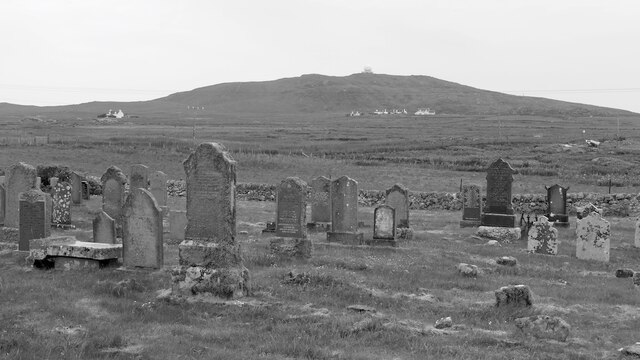
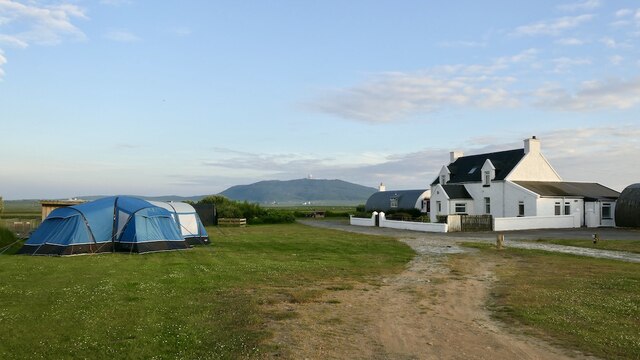
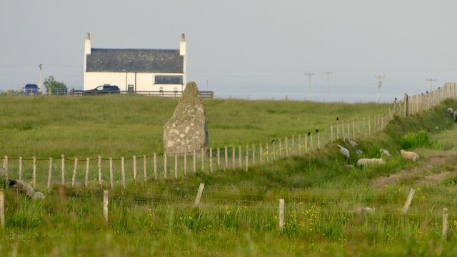
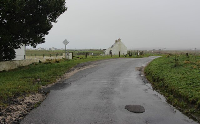
Port na Luinge Images
Images are sourced within 2km of 56.469606/-6.8929298 or Grid Reference NL9841. Thanks to Geograph Open Source API. All images are credited.


Port na Luinge is located at Grid Ref: NL9841 (Lat: 56.469606, Lng: -6.8929298)
Unitary Authority: Argyll and Bute
Police Authority: Argyll and West Dunbartonshire
What 3 Words
///lobby.movements.police. Near Scarinish, Argyll & Bute
Nearby Locations
Related Wikis

Mannal
Mannal is a coastal hamlet on the west side of Hynish Bay, on the island of Tiree, Scotland. The township of Mannal lies on the southwest corner of Tiree...

Tiree Music Festival
Tiree Music Festival is a Scottish folk music festival held annually on the Island of Tiree in the Inner Hebrides. The festival was founded in 2010 by...

Tiree Airport
Tiree Airport (Scottish Gaelic: Port-adhair Thiriodh) (IATA: TRE, ICAO: EGPU) is located 2.5 nautical miles (4.6 km; 2.9 mi) north northeast of Balemartine...

Scarinish
Scarinish (Scottish Gaelic: Sgairinis [ˈs̪kaɾʲɪnɪʃ]) is the main village on the island of Tiree, in the Inner Hebrides of Scotland. It is located on the...

Tiree
Tiree (; Scottish Gaelic: Tiriodh, pronounced [ˈtʲʰiɾʲəɣ]) is the most westerly island in the Inner Hebrides of Scotland. The low-lying island, southwest...

Dun Mor Vaul
Dun Mor Vaul (or simply Dun Mor; Scottish Gaelic: Dùn Mòr) is an iron-age broch located on the north coast of the island of Tiree, in Scotland. ��2�...
Nearby Amenities
Located within 500m of 56.469606,-6.8929298Have you been to Port na Luinge?
Leave your review of Port na Luinge below (or comments, questions and feedback).