Sgeir Bhàigh
Island in Argyllshire
Scotland
Sgeir Bhàigh
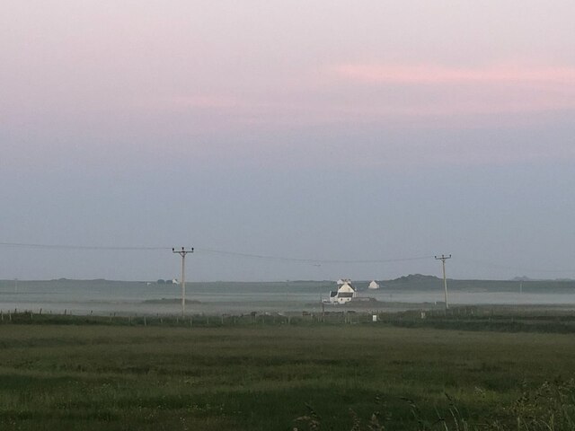
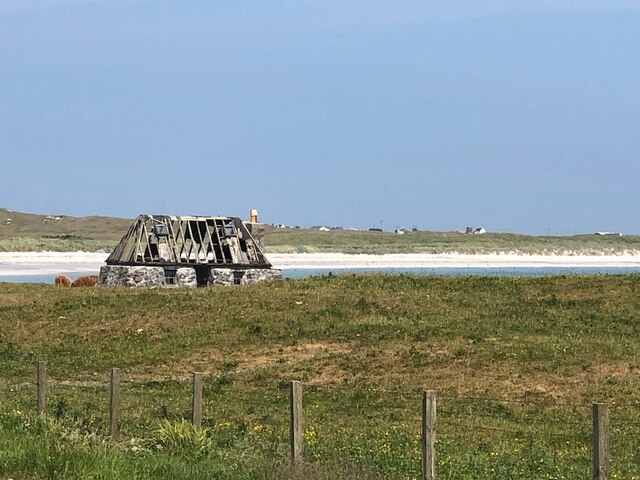
Sgeir Bhàigh is a small uninhabited island located off the coast of Argyllshire, Scotland. It is part of the Inner Hebrides archipelago and lies in the Firth of Lorn, approximately 2 kilometers southwest of the Isle of Seil. The island is known for its unique geological formations and rich biodiversity.
Sgeir Bhàigh covers an area of around 5 hectares and is predominantly composed of rugged cliffs and rocky outcrops. The island's cliffs rise steeply from the sea, reaching heights of up to 40 meters in some places. These cliffs provide nesting sites for various seabird species, including gulls, fulmars, and razorbills.
The island is also home to a diverse range of plant life. Despite its small size, Sgeir Bhàigh boasts a number of rare and endemic plant species. Some of the plants found on the island include sea pink, thrift, and bird's-foot trefoil.
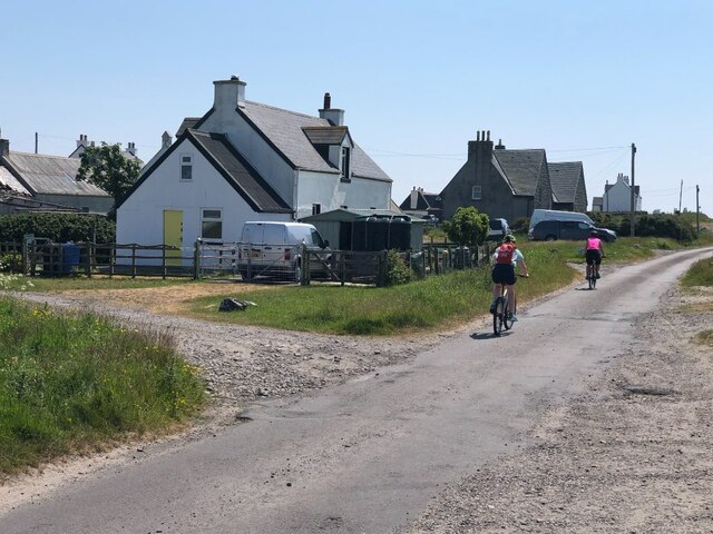
Access to Sgeir Bhàigh is possible by boat, with the nearest launching point being the village of Ellenabeich on the Isle of Seil. The island is a popular destination for birdwatchers, photographers, and nature enthusiasts due to its stunning cliffs, unique flora, and the opportunity to observe a variety of seabirds in their natural habitat.
Due to its uninhabited status, there are no facilities or accommodations on Sgeir Bhàigh, making it an ideal location for day trips or short visits. Visitors are advised to take suitable precautions and respect the fragile ecosystem of the island while enjoying its natural beauty.
If you have any feedback on the listing, please let us know in the comments section below.
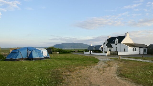
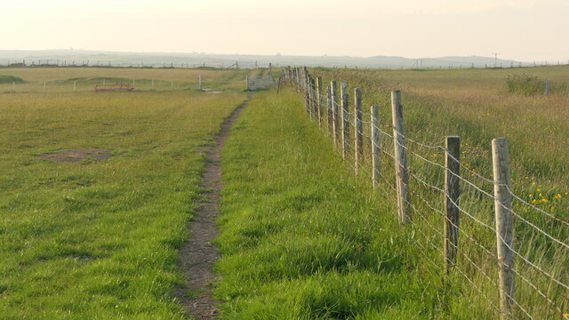
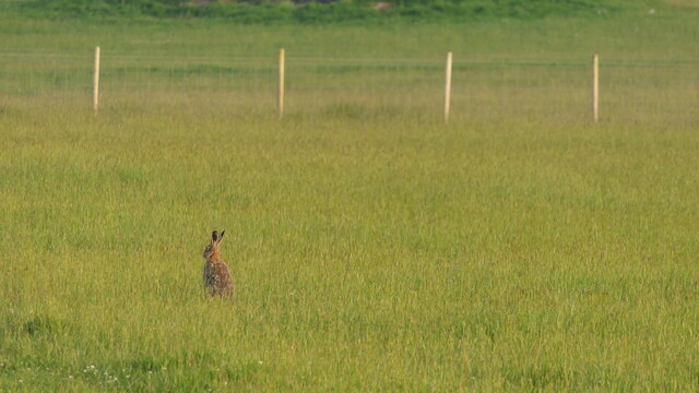
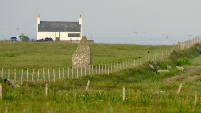
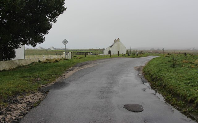
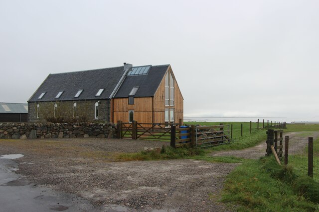
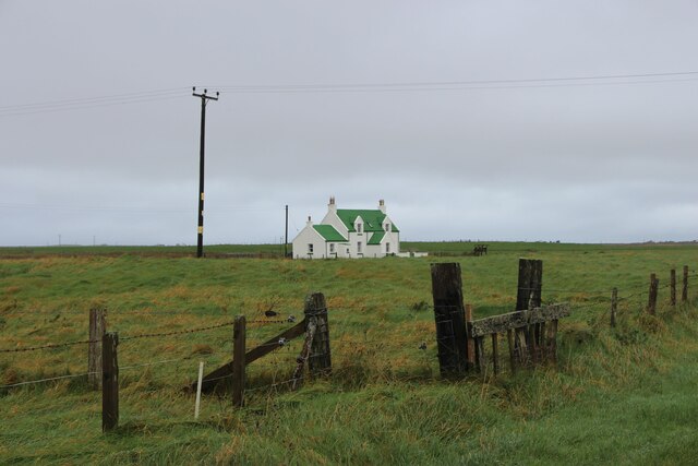
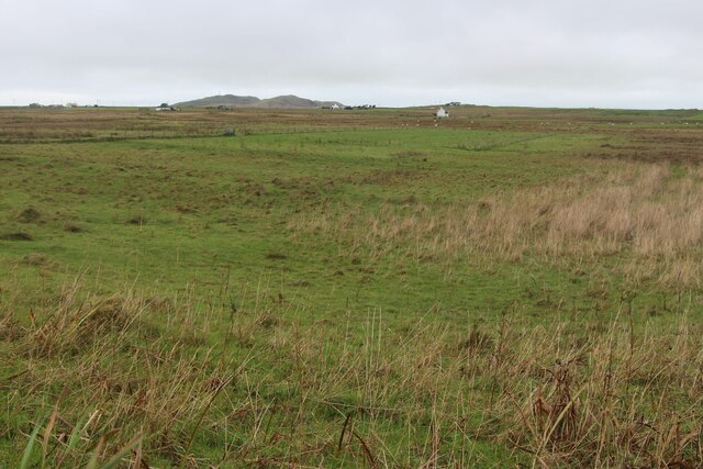
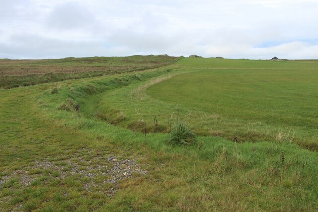
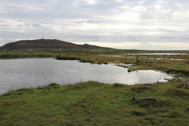
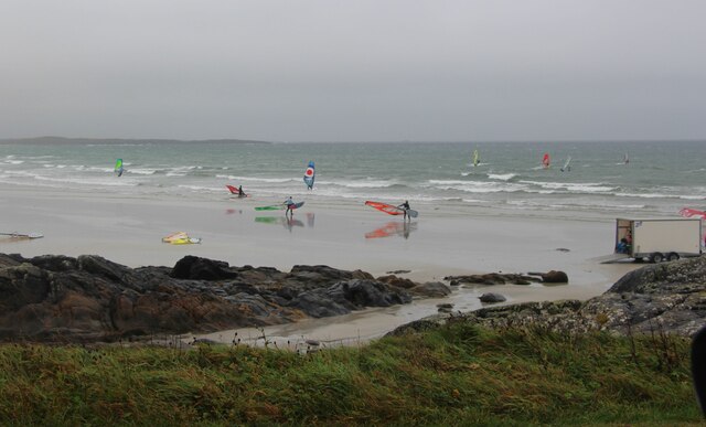
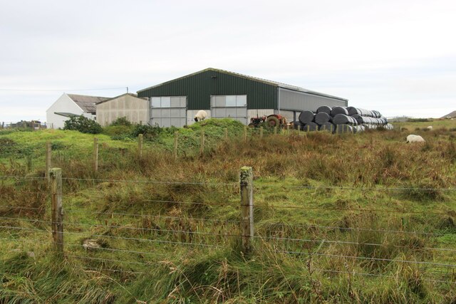
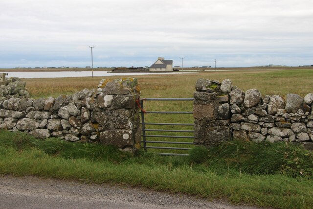
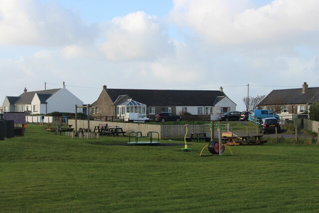
Sgeir Bhàigh Images
Images are sourced within 2km of 56.473346/-6.8934607 or Grid Reference NL9841. Thanks to Geograph Open Source API. All images are credited.
Sgeir Bhàigh is located at Grid Ref: NL9841 (Lat: 56.473346, Lng: -6.8934607)
Unitary Authority: Argyll and Bute
Police Authority: Argyll and West Dunbartonshire
What 3 Words
///messed.expiring.waged. Near Scarinish, Argyll & Bute
Nearby Locations
Related Wikis

Tiree Music Festival
Tiree Music Festival is a Scottish folk music festival held annually on the Island of Tiree in the Inner Hebrides. The festival was founded in 2010 by...

Mannal
Mannal is a coastal hamlet on the west side of Hynish Bay, on the island of Tiree, Scotland. The township of Mannal lies on the southwest corner of Tiree...

Tiree Airport
Tiree Airport (Scottish Gaelic: Port-adhair Thiriodh) (IATA: TRE, ICAO: EGPU) is located 2.5 nautical miles (4.6 km; 2.9 mi) north northeast of Balemartine...

Scarinish
Scarinish (Scottish Gaelic: Sgairinis [ˈs̪kaɾʲɪnɪʃ]) is the main village on the island of Tiree, in the Inner Hebrides of Scotland. It is located on the...

Tiree
Tiree (; Scottish Gaelic: Tiriodh, pronounced [ˈtʲʰiɾʲəɣ]) is the most westerly island in the Inner Hebrides of Scotland. The low-lying island, southwest...

Dun Mor Vaul
Dun Mor Vaul (or simply Dun Mor; Scottish Gaelic: Dùn Mòr) is an iron-age broch located on the north coast of the island of Tiree, in Scotland. ��2�...
Nearby Amenities
Located within 500m of 56.473346,-6.8934607Have you been to Sgeir Bhàigh?
Leave your review of Sgeir Bhàigh below (or comments, questions and feedback).