Balinoe
Settlement in Argyllshire
Scotland
Balinoe
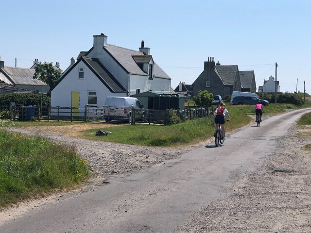
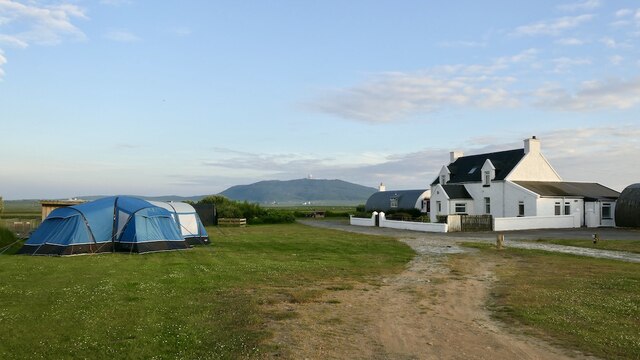
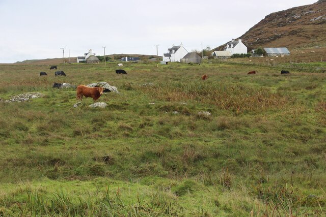
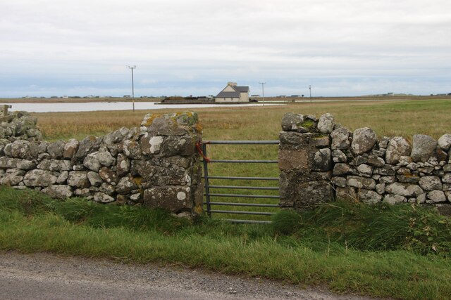
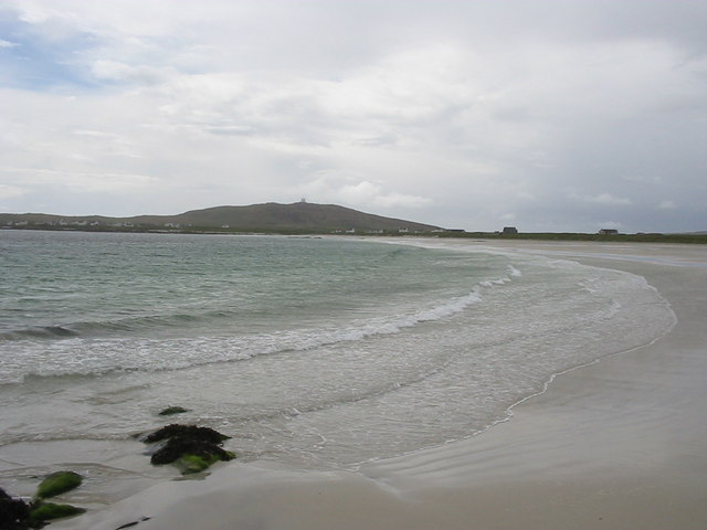
Balinoe is a small village located in the scenic region of Argyllshire, on the western coast of Scotland. Situated amidst breathtaking natural beauty, it is nestled between the rolling hills and the tranquil shores of the Atlantic Ocean. With a population of around 200 residents, Balinoe exudes a peaceful and close-knit community atmosphere.
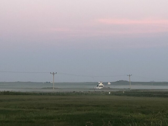
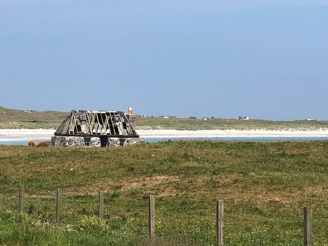
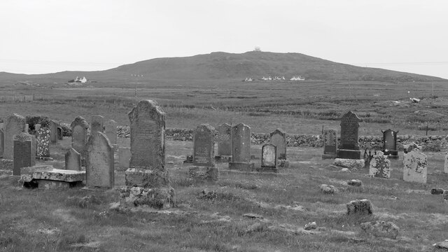
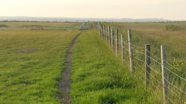
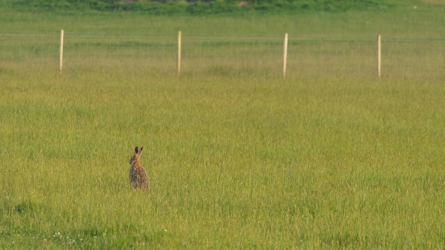
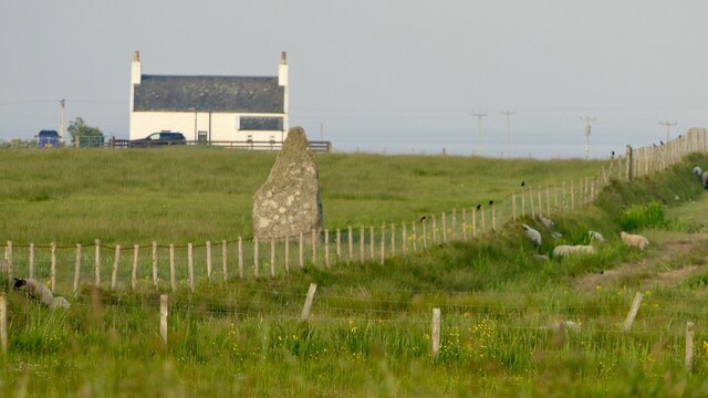
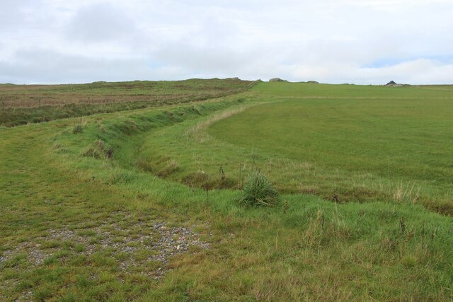
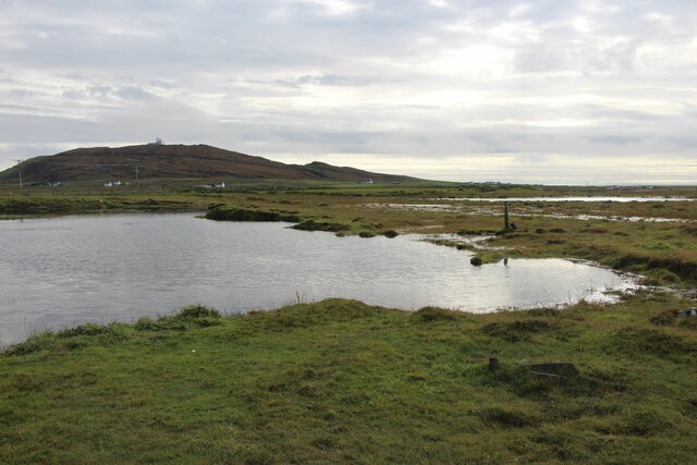
The village is primarily known for its picturesque landscapes, dotted with lush green meadows, colorful wildflowers, and sweeping views of the sea. It offers a haven for nature enthusiasts, with various walking trails and hiking routes that provide opportunities to explore the surrounding countryside. Visitors can also enjoy birdwatching, as the area is home to a diverse range of bird species.
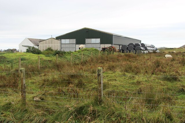
Historically, Balinoe has strong connections to the fishing industry. The village's small harbor still retains its traditional charm and serves as a reminder of its past. Fishing remains an important part of the local economy, with fishermen venturing out to sea to catch an array of seafood, including lobsters and crabs.
For those seeking a taste of local culture, Balinoe hosts a number of festivals and events throughout the year, showcasing traditional music, dance, and art forms. The village also boasts a few quaint shops and cafes, where visitors can sample local delicacies or purchase handmade crafts.
Overall, Balinoe is a hidden gem within the Argyllshire region, offering a peaceful retreat and a chance to immerse oneself in Scotland's stunning natural landscapes and rich cultural heritage.
If you have any feedback on the listing, please let us know in the comments section below.
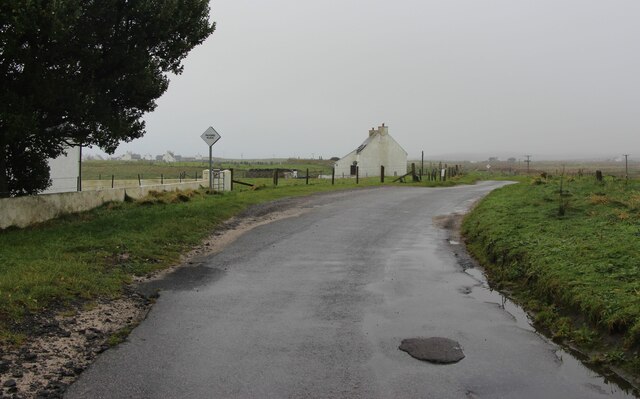
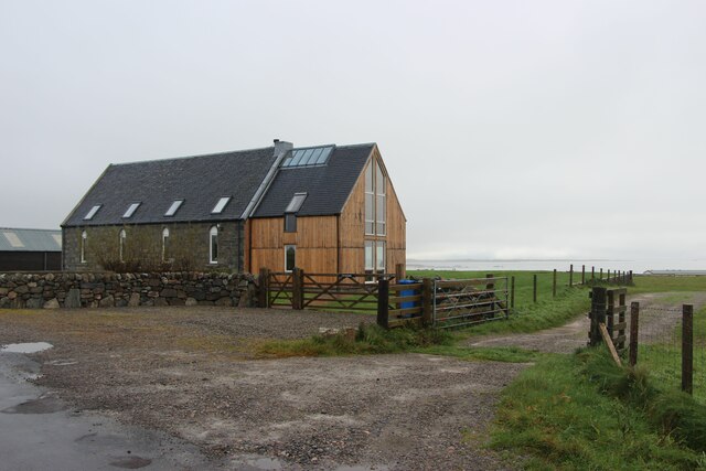
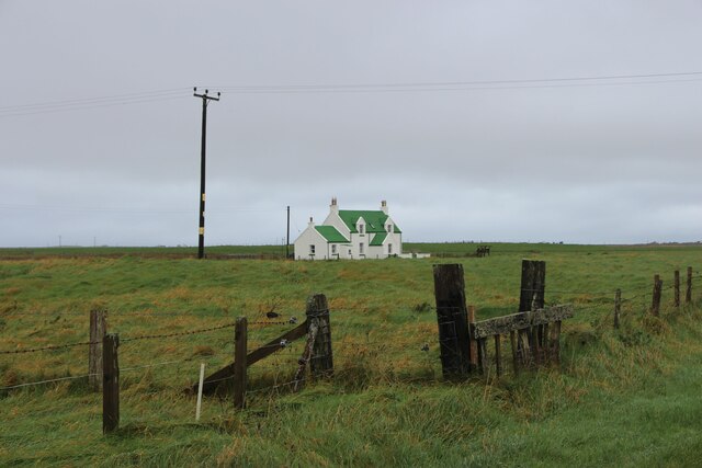
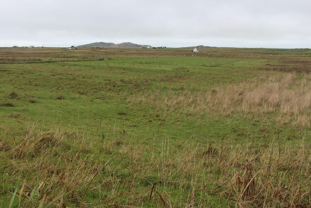
Balinoe Images
Images are sourced within 2km of 56.472563/-6.900356 or Grid Reference NL9841. Thanks to Geograph Open Source API. All images are credited.
Balinoe is located at Grid Ref: NL9841 (Lat: 56.472563, Lng: -6.900356)
Unitary Authority: Argyll and Bute
Police Authority: Argyll and West Dunbartonshire
What 3 Words
///routines.harmlessly.arrow. Near Scarinish, Argyll & Bute
Nearby Locations
Related Wikis

Mannal
Mannal is a coastal hamlet on the west side of Hynish Bay, on the island of Tiree, Scotland. The township of Mannal lies on the southwest corner of Tiree...

Tiree Music Festival
Tiree Music Festival is a Scottish folk music festival held annually on the Island of Tiree in the Inner Hebrides. The festival was founded in 2010 by...

Tiree Airport
Tiree Airport (Scottish Gaelic: Port-adhair Thiriodh) (IATA: TRE, ICAO: EGPU) is located 2.5 nautical miles (4.6 km; 2.9 mi) north northeast of Balemartine...

Scarinish
Scarinish (Scottish Gaelic: Sgairinis [ˈs̪kaɾʲɪnɪʃ]) is the main village on the island of Tiree, in the Inner Hebrides of Scotland. It is located on the...
Nearby Amenities
Located within 500m of 56.472563,-6.900356Have you been to Balinoe?
Leave your review of Balinoe below (or comments, questions and feedback).