Balemartine

Settlement in Argyllshire

Scotland

Balemartine

Rainbow at Hynish shore
Rainbow at Hynish shore Credit: Alan Reid

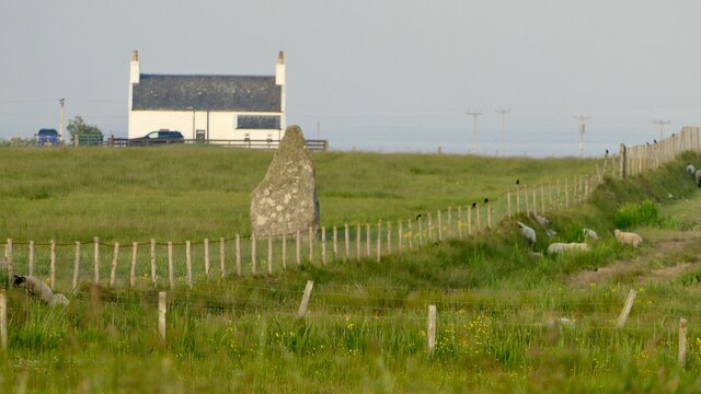
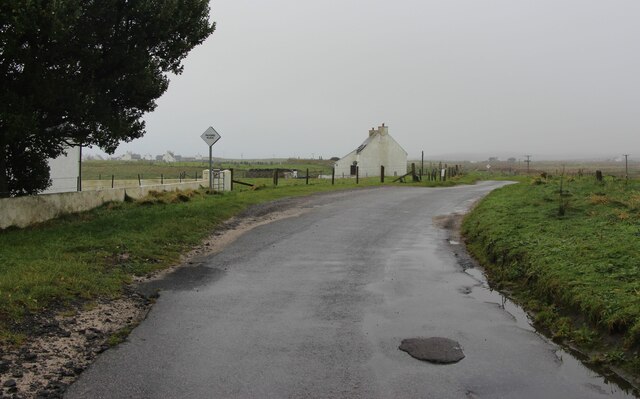
Balemartine is a small village located on the Isle of Tiree in Argyllshire, Scotland. Situated on the western coast of the island, it is known for its picturesque setting and traditional charm. Balemartine is home to a tight-knit community, with a population of around 100 residents.

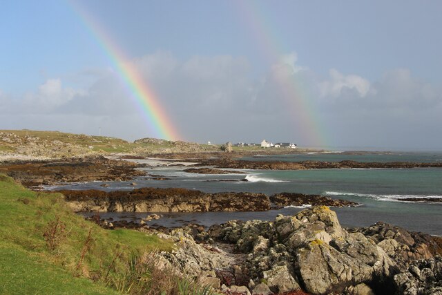
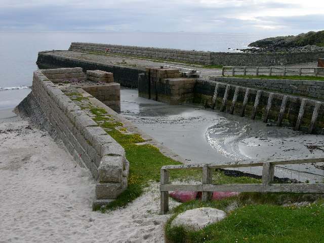
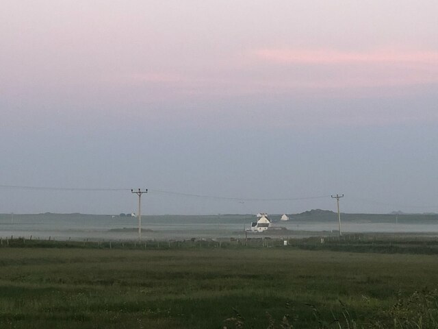
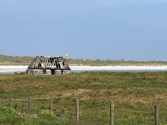
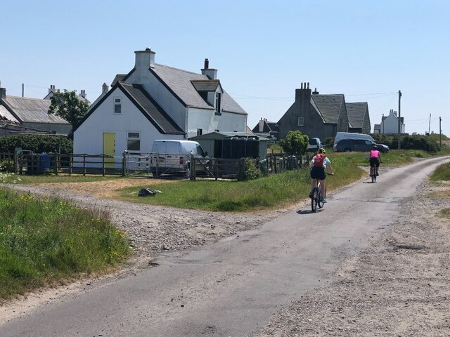
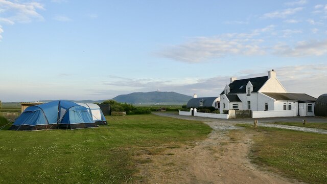
The village is characterized by its whitewashed cottages and stunning views of the surrounding landscape. It is nestled between rolling green hills and the Atlantic Ocean, offering residents and visitors breathtaking vistas. The village's proximity to the coast makes it a popular destination for outdoor enthusiasts, particularly those interested in water sports such as surfing, windsurfing, and kayaking.

In terms of amenities, Balemartine has a few local businesses including a small grocery store, a post office, and a café. The village also has a primary school, which serves the local community and surrounding areas. The school plays an important role in the village, fostering a sense of community spirit and providing education for the younger population.

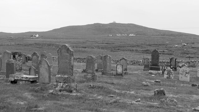
Balemartine is also known for its strong sense of tradition and cultural heritage. The village hosts various events throughout the year, including traditional music festivals and Highland games, which showcase the region's rich cultural history.

Overall, Balemartine offers a peaceful and idyllic setting for those seeking a tranquil escape in the heart of Argyllshire. Its natural beauty, community spirit, and cultural heritage make it a truly special place to visit or call home.

If you have any feedback on the listing, please let us know in the comments section below.

Balemartine Images

Images are sourced within 2km of 56.467019/-6.896747 or Grid Reference NL9841. Thanks to Geograph Open Source API. All images are credited.

Rainbow at Hynish shore
Hynish, Isle of Tiree - Pier The disused dock of the former shore station for the Skerryvore Lighthouse
Hynish, Isle of Tiree - Pier
The disused dock of the former shore station for the Skerryvore Lighthouse
Hynish pier Another beautiful morning on sunny Tiree.
Hynish pier
Another beautiful morning on sunny Tiree.
Hynish shore station A view from the pier, looking back towards the old shore station, which was built for Skerryvore lighthouse. A range of buildings - the dry dock beside the pier, the signal tower and lighthouse keeper's cottages to the left, and Morton Boyd Hall to the right.
The site is now owned by the Hebridean Trust, who have several buildings available for holiday accommodation, and a museum about the lighthouse.
Hynish shore station
A view from the pier, looking back towards the old shore station, which was built for Skerryvore lighthouse. A range of buildings - the dry dock beside the pier, the signal tower and lighthouse keeper's cottages to the left, and Morton Boyd Hall to the right. The site is now owned by the Hebridean Trust, who have several buildings available for holiday accommodation, and a museum about the lighthouse.
Welcome to Hynish Information about the museum and village at Hynish.
Welcome to Hynish
Information about the museum and village at Hynish.
Museum at Hynish In Morton Boyd House, which was originally the workshops and smithy for the Skerryvore lighthouse construction.
Museum at Hynish
In Morton Boyd House, which was originally the workshops and smithy for the Skerryvore lighthouse construction.
A seat with a view The coast near to Hynish.
A seat with a view
The coast near to Hynish.
A walk to Hynish, Tiree
B8066 approaching Hynish The Skerryvore shore station on the skyline.
B8066 approaching Hynish
The Skerryvore shore station on the skyline.
Tiree - Hynish - Former harbour  Until the dry dock was built this area (and the area now enclosed as the dry dock) acted as the harbour for the works at Hynish. The constant silting up of this area and its exposure to the sea resulted in Stevenson constructing the dry dock.
Tiree - Hynish - Former harbour
Until the dry dock was built this area (and the area now enclosed as the dry dock) acted as the harbour for the works at Hynish. The constant silting up of this area and its exposure to the sea resulted in Stevenson constructing the dry dock.
Misty evening, Balinoe Mist forming after a hot day.
Misty evening, Balinoe
Mist forming after a hot day.
Ruin, Balemartine
Ruin, Balemartine
Road through Balemartine
Cemetery, Balemartine
Campsite, Ballinoe Four years after my last visit and even better. The house is a holiday cottage.
Taken at 22:00
Campsite, Ballinoe
Four years after my last visit and even better. The house is a holiday cottage. Taken at 22:00
Hare near the campsite, Blaine There are a lot of hares on Tiree.
Hare near the campsite, Blaine
There are a lot of hares on Tiree.
Standing Stone near Heyipol Farm
Road through Balemartine
Show me another place!

Balemartine is located at Grid Ref: NL9841 (Lat: 56.467019, Lng: -6.896747)

Unitary Authority: Argyll and Bute

Police Authority: Argyll and West Dunbartonshire

What 3 Words

///billiard.aviators.absent. Near Scarinish, Argyll & Bute

Related Wikis

Mannal

Mannal is a coastal hamlet on the west side of Hynish Bay, on the island of Tiree, Scotland. The township of Mannal lies on the southwest corner of Tiree...

Tiree Music Festival

Tiree Music Festival is a Scottish folk music festival held annually on the Island of Tiree in the Inner Hebrides. The festival was founded in 2010 by...

Tiree Airport

Tiree Airport (Scottish Gaelic: Port-adhair Thiriodh) (IATA: TRE, ICAO: EGPU) is located 2.5 nautical miles (4.6 km; 2.9 mi) north northeast of Balemartine...

Scarinish

Scarinish (Scottish Gaelic: Sgairinis [ˈs̪kaɾʲɪnɪʃ]) is the main village on the island of Tiree, in the Inner Hebrides of Scotland. It is located on the...

Nearby Amenities

Located within 500m of 56.467019,-6.896747
Post Box
Collection Times: Mo-Sa 08:15
Operator: Royal Mail
Post Box Type: lamp
Ref: PA77 180
Royal Cypher: EIIR
Royal Cypher Wikidata: Q33102113
Lat/Long: 56.4679128/-6.8969881
Balemartine
Is In: Tiree, Inner Hebrides, Scotland, UK
Name Gd: Baile Mhàrtainn
Name Sco: Balemairtin
Place: village
Source: npe
Lat/Long: 56.4668704/-6.8960219
Soroby
Alt Name Gd: Soiribidh
Name Gd: Sòrabaidh
Place: locality
Lat/Long: 56.4703082/-6.899985
Power: pole
Lat/Long: 56.4698962/-6.9000444
Power: pole
Lat/Long: 56.469028/-6.8993899
Power: pole
Lat/Long: 56.4681701/-6.8987972
Power: pole
Lat/Long: 56.4627543/-6.8950796
Power: pole
Lat/Long: 56.4664321/-6.8976036
Power: pole
Lat/Long: 56.4656082/-6.8970323
Power: pole
Lat/Long: 56.4647829/-6.8964717
Power: pole
Lat/Long: 56.4641546/-6.8960291
Power: pole
Lat/Long: 56.4634048/-6.8955168
Power: pole
Lat/Long: 56.4645837/-6.9028175
Power: pole
Lat/Long: 56.4647774/-6.9018102
Power: pole
Lat/Long: 56.4649302/-6.9010099
Power: pole
Lat/Long: 56.4651915/-6.899574
Power: pole
Lat/Long: 56.4654517/-6.8982098
Cafe
Farmhouse Cafe
Lat/Long: 56.4678041/-6.8971261
Whale Song
Shop: gift
Lat/Long: 56.4670703/-6.8959708
The data included in this document is from www.openstreetmap.org. The data is made available under ODbL.

Have you been to Balemartine?

Leave your review of Balemartine below (or comments, questions and feedback).