Bale
Settlement in Norfolk North Norfolk
England
Bale
Bale is a picturesque village located in the county of Norfolk, England. Situated approximately 6 miles east of the market town of Holt, Bale is a small and tight-knit community with a population of around 100 residents. The village is nestled in a rural setting surrounded by rolling fields and farmland, offering a tranquil and idyllic atmosphere.
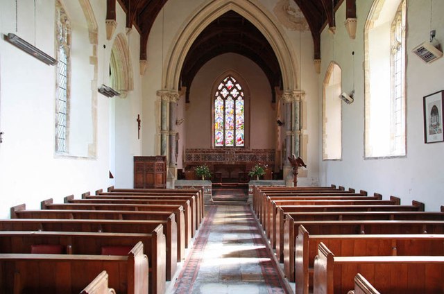
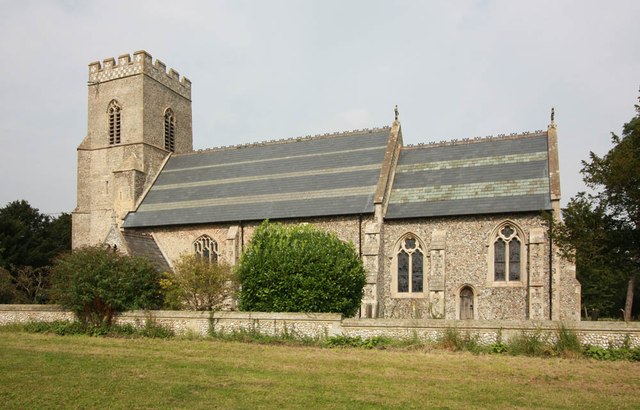
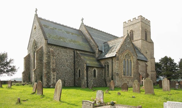
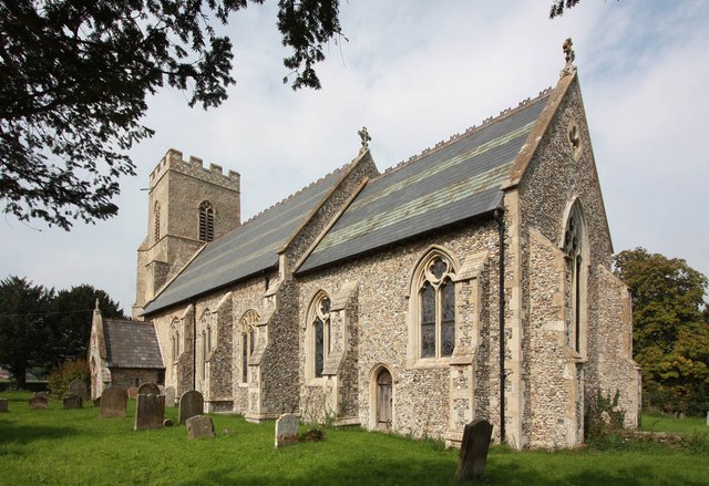
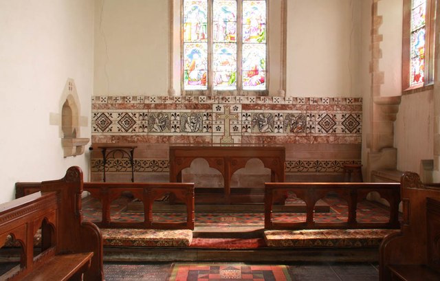
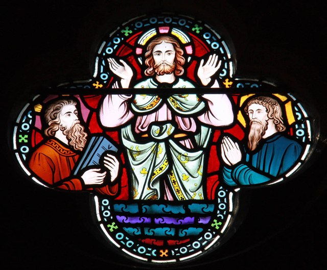
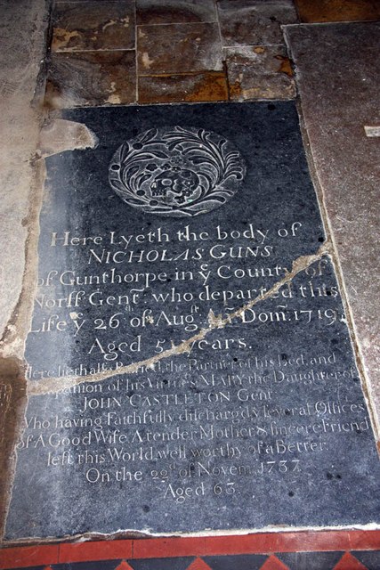
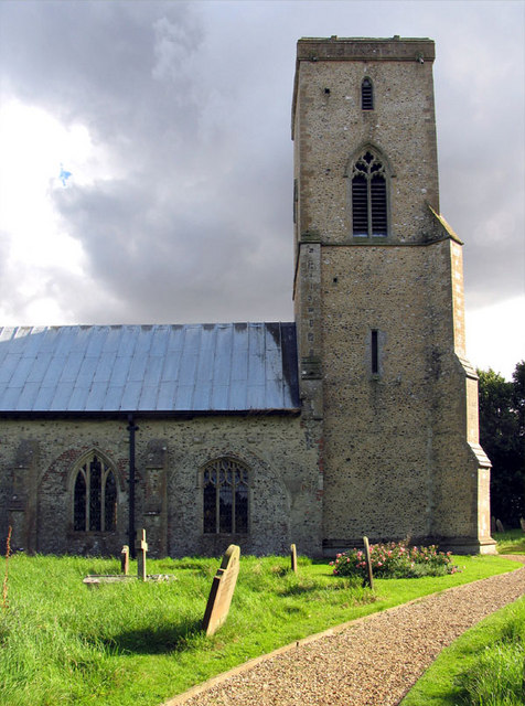
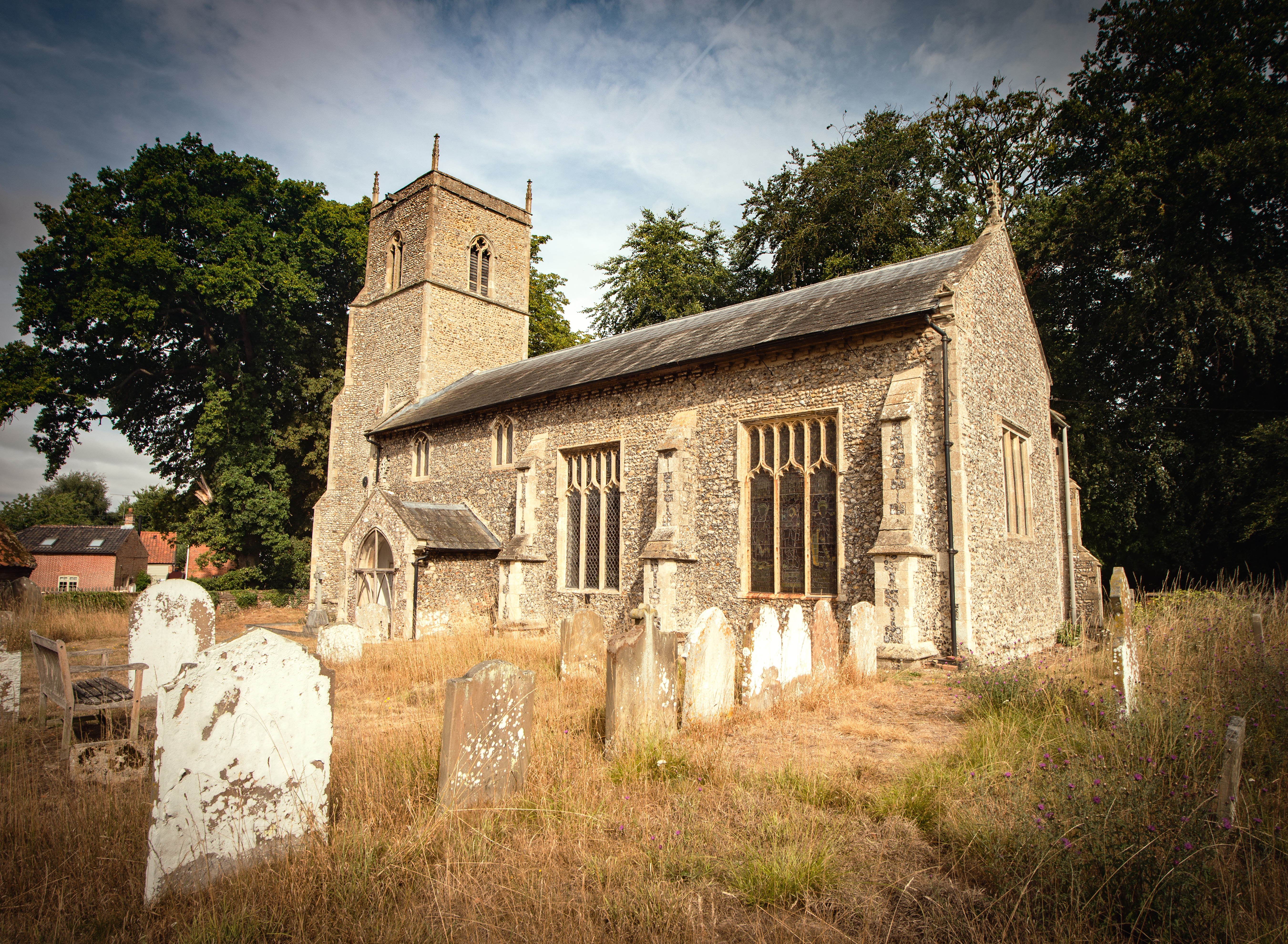
The village of Bale has a rich history, dating back to the medieval period. It is home to the beautiful All Saints Church, an architectural gem that dates back to the 14th century and boasts stunning stained glass windows and intricate carvings. The church is a focal point of the village and is often visited by tourists and locals alike.
Bale is a quintessentially English village, with traditional thatched cottages and charming houses lining its streets. The village is known for its well-preserved historic character, with many of its buildings dating back several centuries. The local community takes great pride in maintaining the village's heritage and ensuring its preservation for future generations.
Despite its small size, Bale has a strong sense of community spirit. The village pub, The Chequers Inn, serves as a hub for locals to gather, socialize, and enjoy a pint or a hearty meal. The pub also hosts various community events throughout the year, bringing residents together and fostering a sense of belonging.
Bale offers a peaceful and rural setting, making it an ideal destination for those seeking a quiet and serene retreat. Its rich history, charming architecture, and close-knit community contribute to its unique and inviting character.
If you have any feedback on the listing, please let us know in the comments section below.
Bale Images
Images are sourced within 2km of 52.891897/0.987983 or Grid Reference TG0136. Thanks to Geograph Open Source API. All images are credited.


Bale is located at Grid Ref: TG0136 (Lat: 52.891897, Lng: 0.987983)
Administrative County: Norfolk
District: North Norfolk
Police Authority: Norfolk
What 3 Words
///punters.scorpions.lifetimes. Near Briston, Norfolk
Related Wikis

Bale, Norfolk
Bale is a village and former civil parish, now in the parish of Gunthorpe, in the North Norfolk district, in the county of Norfolk, England. The village...
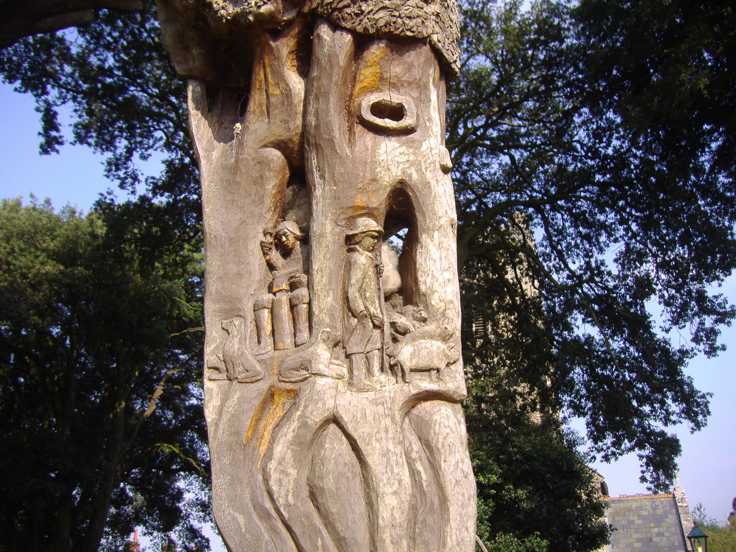
Bale Oak
The Bale Oak was a large oak tree in Bale, a village in northern Norfolk, England that was over 500 years old when it was felled in 1860. It measured 36...
Sharrington
Sharrington is a village and former civil parish, now in the parish of Brinton, in the North Norfolk district, in the county of Norfolk, England. The village...
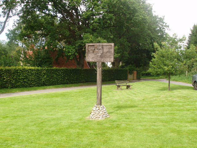
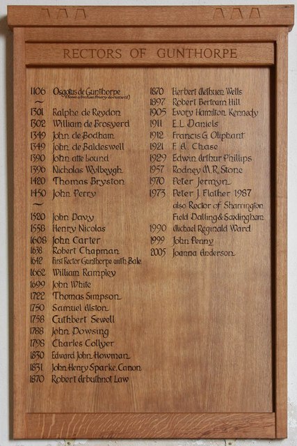
Gunthorpe, Norfolk
Gunthorpe is a village and a civil parish in the English county of Norfolk. The village is 8.6 miles east north east of the town of Fakenham, 14.9 miles...

Field Dalling
Field Dalling is a village and civil parish in the English county of Norfolk. The village is located 4.5 miles (7.2 km) west of Holt and 23 miles (37 km...
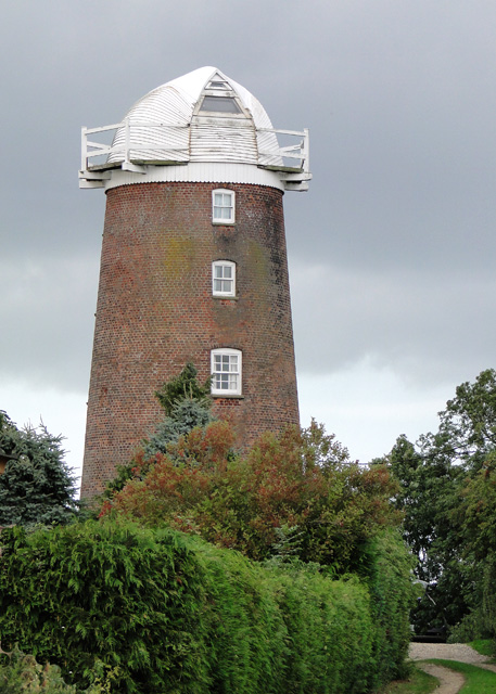
Lower Green Mill, Hindringham
Lower Green Mill is a tower mill at Lower Green, located to the north of the village of Hindringham in the English county of Norfolk. The mill stands on...

Hindringham
Hindringham is a village and a civil parish in the English county of Norfolk. The village is 8.5 miles (13.7 km) north east of the town of Fakenham, 16...
Brinton, Norfolk
Brinton is a village and a civil parish in the English county of Norfolk. The village is 10.8 miles east-north-east of the town of Fakenham, 13.1 miles...
Nearby Amenities
Located within 500m of 52.891897,0.987983Have you been to Bale?
Leave your review of Bale below (or comments, questions and feedback).