Bale Oaks
Wood, Forest in Norfolk North Norfolk
England
Bale Oaks
Bale Oaks, located in Norfolk, is a picturesque wood and forest area that covers a vast expanse of land. It is known for its dense growth of oak trees, which give the area its name. Bale Oaks is situated in a rural part of Norfolk, away from the hustle and bustle of the city, providing a tranquil and peaceful environment for nature enthusiasts.
The forest is home to a diverse range of wildlife, including various species of birds, mammals, and insects. The abundance of oak trees provides a natural habitat for numerous woodland creatures, such as squirrels, deer, and foxes. Birdwatchers frequent the area to catch glimpses of rare and migratory birds that pass through the forest.
The woodland itself is a mix of ancient and younger trees, creating a unique blend of growth and history. The towering oaks with their wide canopies offer shade and shelter, creating a cool and refreshing atmosphere even on hot summer days. The forest floor is covered in a thick carpet of fallen leaves and moss, adding to the enchanting ambiance of Bale Oaks.
The wood offers a variety of walking trails, allowing visitors to explore the area and immerse themselves in nature. These trails wind through the forest, offering breathtaking views of the surrounding landscape. There are also designated picnic areas and viewpoints where visitors can relax and take in the beauty of their surroundings.
Bale Oaks is a wonderful destination for nature lovers and those seeking a peaceful retreat from the city. With its diverse wildlife, ancient trees, and tranquil atmosphere, it is a haven for anyone looking to reconnect with nature.
If you have any feedback on the listing, please let us know in the comments section below.
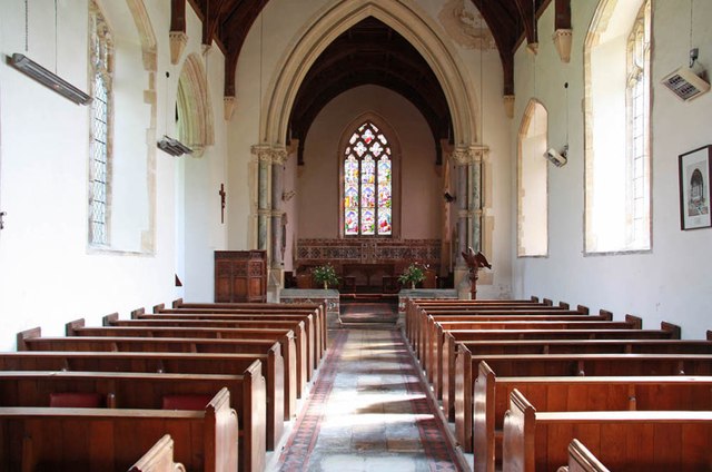
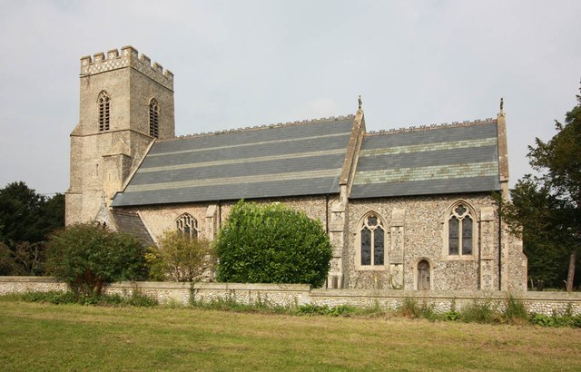
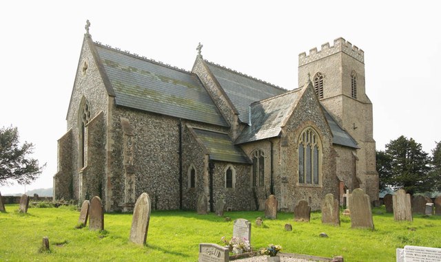
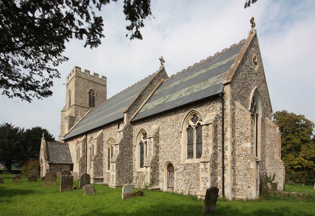
Bale Oaks Images
Images are sourced within 2km of 52.890759/0.98743567 or Grid Reference TG0136. Thanks to Geograph Open Source API. All images are credited.


Bale Oaks is located at Grid Ref: TG0136 (Lat: 52.890759, Lng: 0.98743567)
Administrative County: Norfolk
District: North Norfolk
Police Authority: Norfolk
What 3 Words
///secure.jugs.homes. Near Briston, Norfolk
Related Wikis
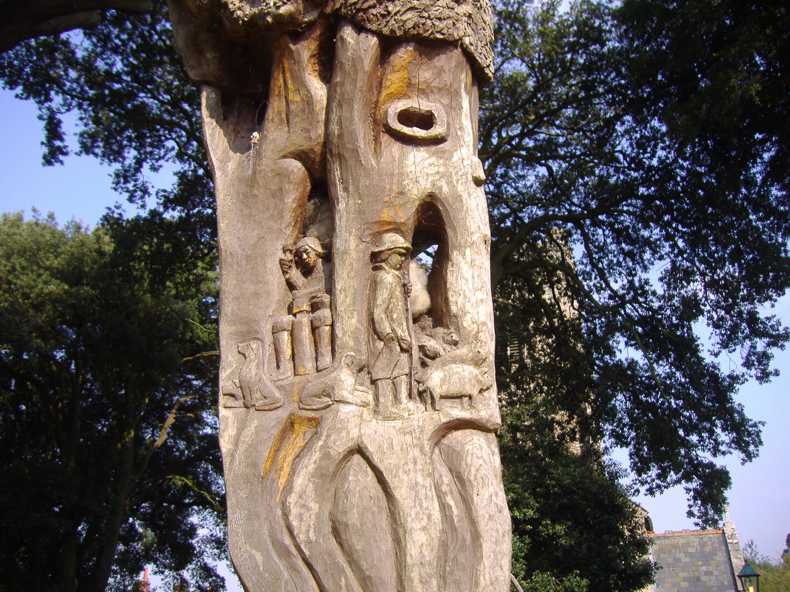
Bale Oak
The Bale Oak was a large oak tree in Bale, a village in northern Norfolk, England that was over 500 years old when it was felled in 1860. It measured 36...

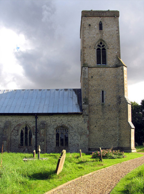
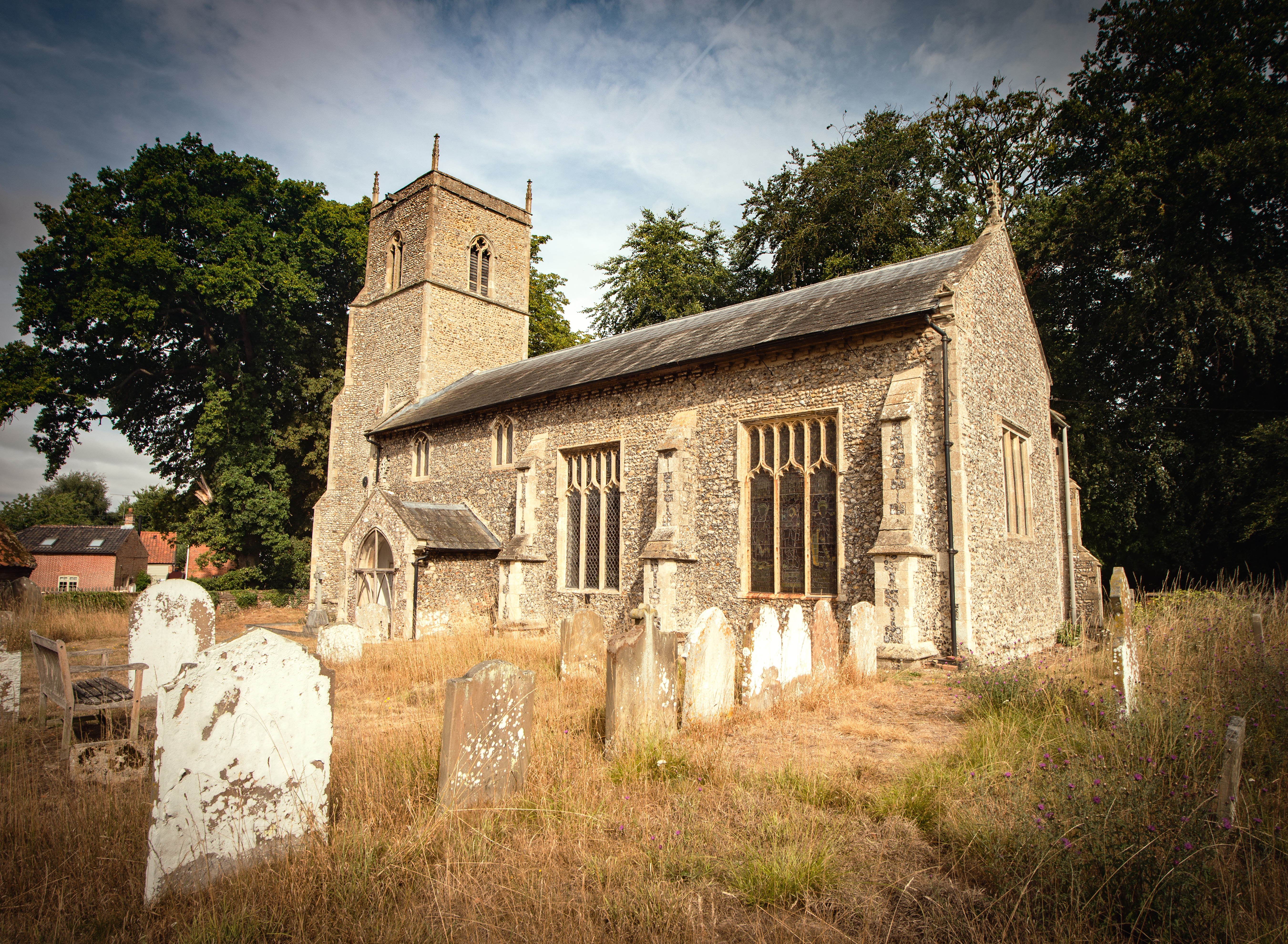
Bale, Norfolk
Bale is a village and former civil parish, now in the parish of Gunthorpe, in the North Norfolk district, in the county of Norfolk, England. The village...
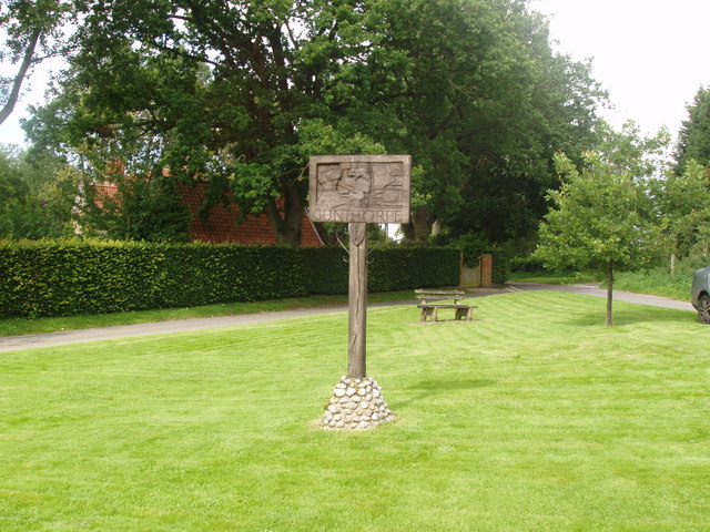
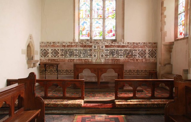
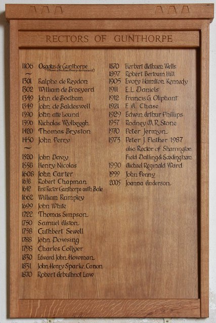
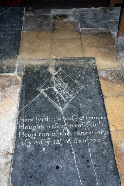
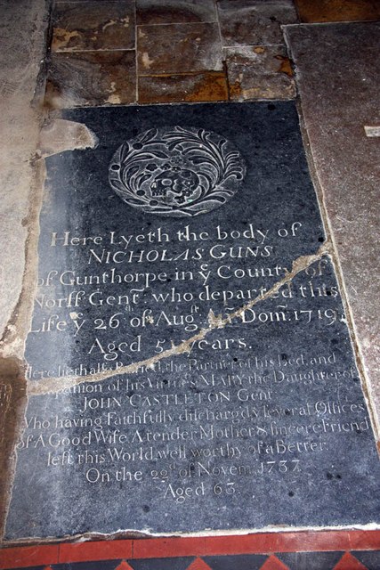
Gunthorpe, Norfolk
Gunthorpe is a village and a civil parish in the English county of Norfolk. The village is 8.6 miles east north east of the town of Fakenham, 14.9 miles...
Sharrington
Sharrington is a village and former civil parish, now in the parish of Brinton, in the North Norfolk district, in the county of Norfolk, England. The village...
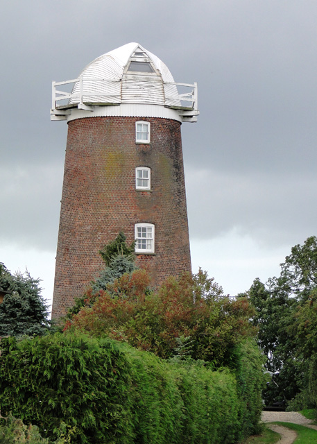
Lower Green Mill, Hindringham
Lower Green Mill is a tower mill at Lower Green, located to the north of the village of Hindringham in the English county of Norfolk. The mill stands on...

Field Dalling
Field Dalling is a village and civil parish in the English county of Norfolk. The village is located 4.5 miles (7.2 km) west of Holt and 23 miles (37 km...

Hindringham
Hindringham is a village and a civil parish in the English county of Norfolk. The village is 8.5 miles (13.7 km) north east of the town of Fakenham, 16...
Brinton, Norfolk
Brinton is a village and a civil parish in the English county of Norfolk. The village is 10.8 miles east-north-east of the town of Fakenham, 13.1 miles...
Nearby Amenities
Located within 500m of 52.890759,0.98743567Have you been to Bale Oaks?
Leave your review of Bale Oaks below (or comments, questions and feedback).