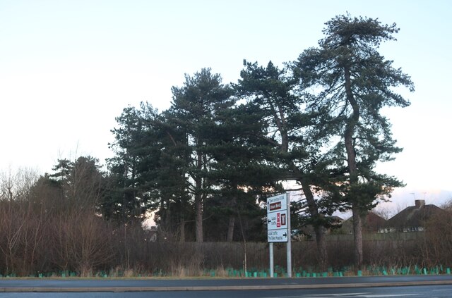
East Wood
Wood, Forest in Essex Colchester
England
East Wood
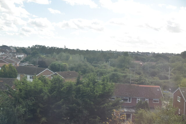
East Wood is a small village located in the county of Essex, England. Situated in the northern part of the county, it lies within the district of Uttlesford and is part of the civil parish of Stansted Mountfitchet. East Wood is nestled in the heart of the Essex countryside, surrounded by picturesque woodlands and forests, hence its name.
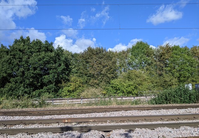
The village is known for its idyllic setting and tranquil atmosphere, making it a popular destination for nature lovers and those seeking a peaceful retreat. The woodlands surrounding East Wood offer a variety of walking trails and hiking routes, allowing visitors to explore the stunning natural beauty of the area.
Despite its small size, East Wood boasts a strong sense of community. Residents take pride in their village and actively participate in local events and activities. The village has a few amenities, including a local pub and a small convenience store, catering to the daily needs of its residents.
East Wood is conveniently located near larger towns and cities, with Stansted Mountfitchet being just a short distance away. This provides residents with access to a wider range of services and amenities, including shops, schools, and healthcare facilities.
Overall, East Wood, Essex is a charming village, offering a peaceful and rural lifestyle amidst the beauty of the surrounding woodlands. It is an ideal place for those seeking a close-knit community and a connection with nature.
If you have any feedback on the listing, please let us know in the comments section below.
East Wood Images
Images are sourced within 2km of 51.910202/0.92200037 or Grid Reference TM0127. Thanks to Geograph Open Source API. All images are credited.


East Wood is located at Grid Ref: TM0127 (Lat: 51.910202, Lng: 0.92200037)
Administrative County: Essex
District: Colchester
Police Authority: Essex
What 3 Words
///drums.winter.faster. Near Colchester, Essex
Nearby Locations
Related Wikis

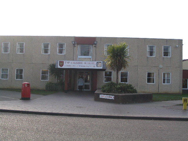
The Gilberd School
The Gilberd School is a coeducational secondary school with academy status, in Colchester, Essex, England. == History == The school originally opened on...

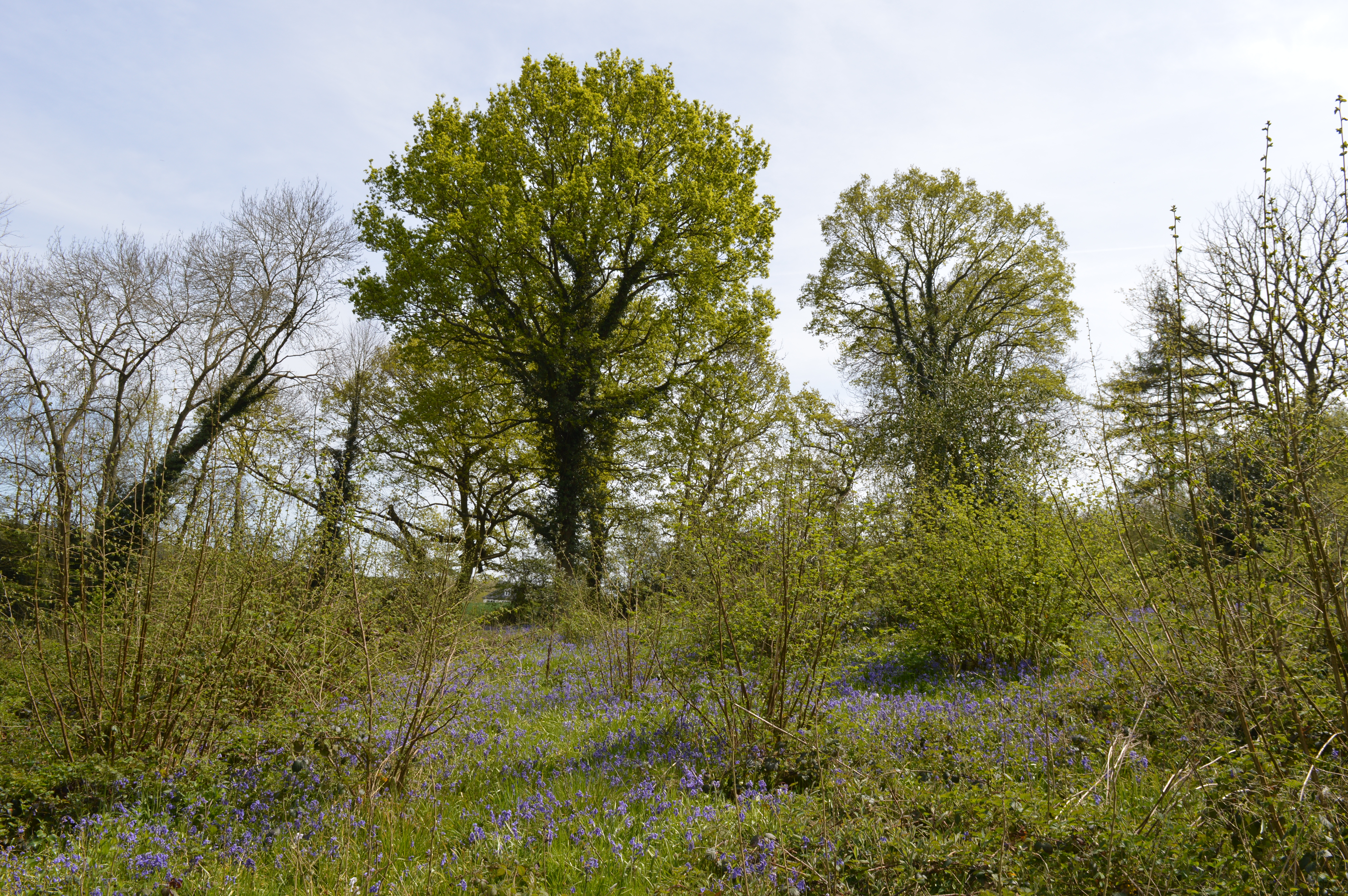
Bullock Wood
Bullock Wood is a 23.3-hectare (58-acre) biological Site of Special Scientific Interest on the northern outskirts of Colchester in Essex.The site is mature...

St Aubyn Centre
The St Aubyn Centre is a mental health facility at 216 Turner Road, Colchester, Essex. It has two wards: (i) Longview Ward which is a General Adolescent...

Colchester Hospital
Colchester Hospital is a district general hospital located in Colchester, Essex. It is managed by East Suffolk and North Essex NHS Foundation Trust....

Myland
Myland (also called Mile End) is a civil parish in Essex, England. It is now a northern suburb of Colchester. The original village began approximately...
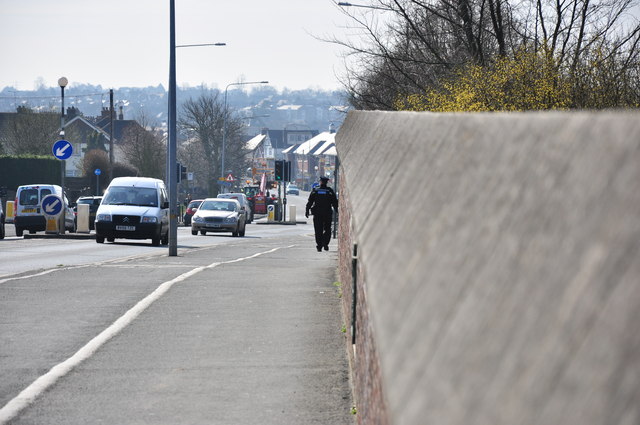
Ipswich Road, Colchester
Ipswich Road, formally the A1232, is a road in Colchester, Essex, England. It was the historic coaching route and main road to Ipswich from the Middle...

Bull Meadow
Bull Neadow is a 1.4 hectare Local Nature Reserve in Colchester in Essex, owned and managed by Colchester Borough Council.The meadow is unimproved damp...
Welsh Wood
Welsh Wood is a 3.2 hectare Local Nature Reserve in Colchester in Essex. It is owned and managed by Colchester Borough Council.Trees in this site are managed...
Nearby Amenities
Located within 500m of 51.910202,0.92200037Have you been to East Wood?
Leave your review of East Wood below (or comments, questions and feedback).