Baldwins Hill

Settlement in Surrey Tandridge

England

Baldwins Hill

Foxes Lodge, Wadlands Brook Road, Surrey This is just north of the Surrey-Sussex border.  The bungalow sits in the angle formed by Felcourt Road and Wadlands Brook Road, the latter being the beginning of a bridleway which leads to Dormans station.
Foxes Lodge, Wadlands Brook Road, Surrey Credit: Dr Neil Clifton

Baldwins Hill is a small residential area located in the county of Surrey, England. Situated just outside the town of Reigate, it is part of the borough of Reigate and Banstead. The neighborhood is known for its picturesque surroundings and peaceful atmosphere, making it an attractive place to live for families and individuals seeking a suburban lifestyle.

Baldwins Hill is characterized by its tree-lined streets, well-maintained houses, and manicured gardens. The area mainly consists of detached and semi-detached properties, offering a range of housing options to cater to different needs and budgets. The architecture of the homes varies, with a mix of traditional and modern designs.

Residents of Baldwins Hill benefit from its convenient location. The nearby town of Reigate provides a variety of amenities, including shops, restaurants, and leisure facilities. The area is also well-served by schools, with several primary and secondary schools within close proximity.

Nature enthusiasts will appreciate the natural beauty surrounding Baldwins Hill. The neighborhood is surrounded by open green spaces, including the beautiful Reigate Heath, which offers opportunities for outdoor activities such as walking, jogging, and picnicking. The nearby North Downs provide stunning views and additional recreational opportunities.

Transport links are excellent, with easy access to major roads such as the M25 and A217, facilitating travel to other parts of Surrey and beyond. The nearest railway station, Reigate, offers regular services to London and other destinations.

In summary, Baldwins Hill offers a peaceful and scenic living environment with convenient amenities and excellent transport links. It is a sought-after residential area in Surrey, attracting individuals and families looking for a tranquil suburban lifestyle.

If you have any feedback on the listing, please let us know in the comments section below.

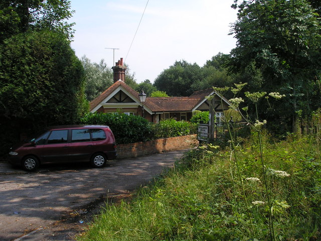
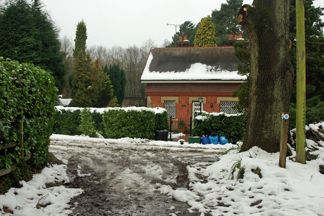
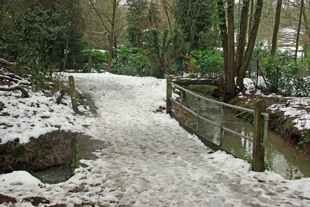
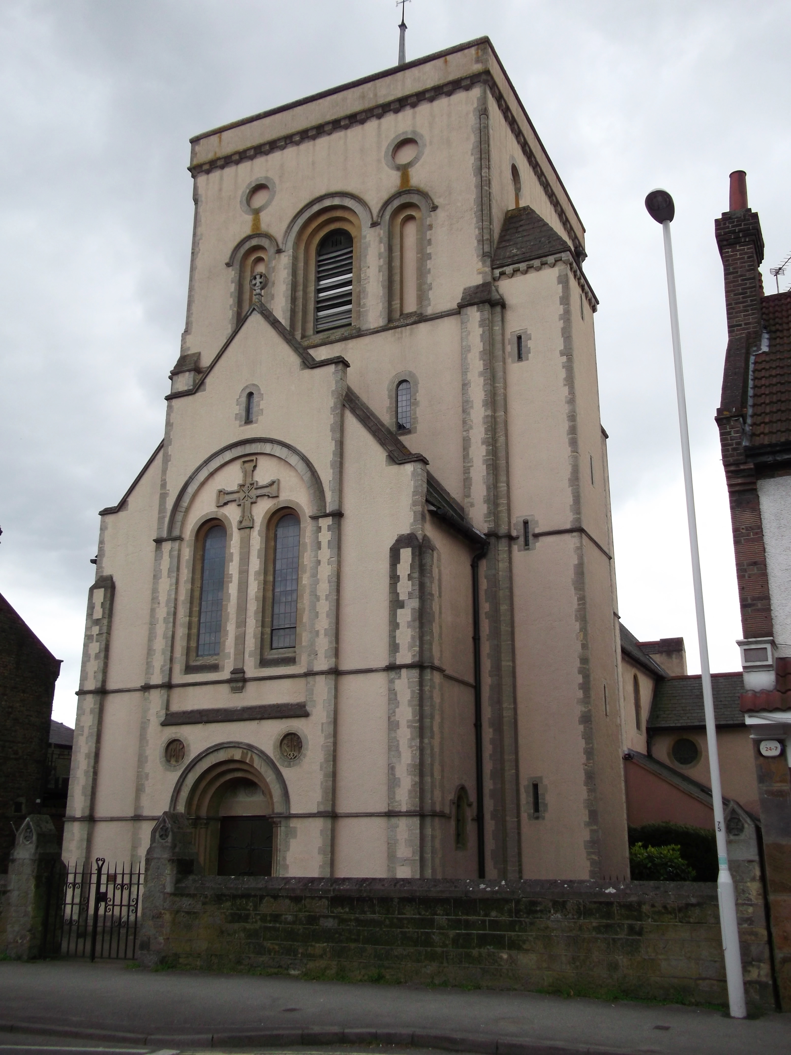
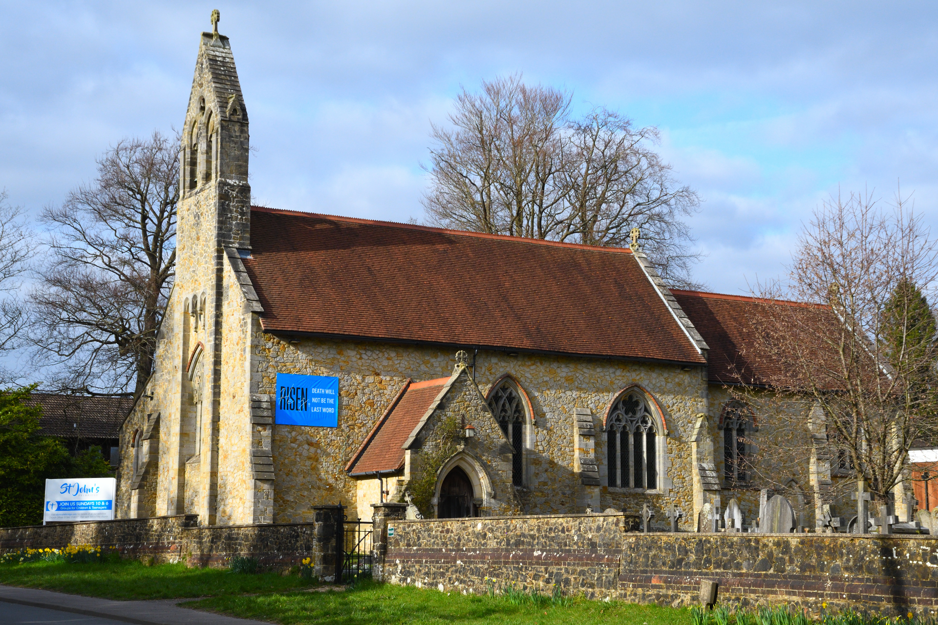
Baldwins Hill Images

Images are sourced within 2km of 51.133654/-0.0290189 or Grid Reference TQ3839. Thanks to Geograph Open Source API. All images are credited.

Foxes Lodge, Wadlands Brook Road, Surrey This is just north of the Surrey-Sussex border.  The bungalow sits in the angle formed by Felcourt Road and Wadlands Brook Road, the latter being the beginning of a bridleway which leads to Dormans station.
Foxes Lodge, Wadlands Brook Road, Surrey
This is just north of the Surrey-Sussex border. The bungalow sits in the angle formed by Felcourt Road and Wadlands Brook Road, the latter being the beginning of a bridleway which leads to Dormans station.
Bridleway near Garfield Farm, Surrey Garfield Farm is just off the eastern side of the A22 not far north of the Surrey-Sussex border.  There is much animal activity around here:  Garfield Farm provides boarding kennels, hounds for hunting are kept nearby and there are stables.
Bridleway near Garfield Farm, Surrey
Garfield Farm is just off the eastern side of the A22 not far north of the Surrey-Sussex border. There is much animal activity around here: Garfield Farm provides boarding kennels, hounds for hunting are kept nearby and there are stables.
The Cottage So says the name plaque on this cottage at the footpath corner. The footpath goes left, and becomes Wadlands Brook Road, although only a track here.
The Cottage
So says the name plaque on this cottage at the footpath corner. The footpath goes left, and becomes Wadlands Brook Road, although only a track here.
Two bridges The near bridge takes the public bridleway over a side stream of the one seen at right. There is a far steel bridge over the main stream, possibly an old lorry deck frame, but lacking the deck and blocked with a garden fence at one end.
Two bridges
The near bridge takes the public bridleway over a side stream of the one seen at right. There is a far steel bridge over the main stream, possibly an old lorry deck frame, but lacking the deck and blocked with a garden fence at one end.
Can you help? accident here On the A22, the accident occurred at 01.10 hrs, Sunday, 17th January [2010]. Not a time when many people would have been about.
Can you help? accident here
On the A22, the accident occurred at 01.10 hrs, Sunday, 17th January [2010]. Not a time when many people would have been about.
Frosty field edge Viewed from a small lay-by on the A22. The fence at right is that of "The Kennels".
Frosty field edge
Viewed from a small lay-by on the A22. The fence at right is that of "The Kennels".
Track to Chartham Cottages
Felcourt Rd
Felcourt Rd
Tandridge Border Path The Tandridge Border Path is a  52 mile walk following the boundary of Tandridge District with Kent, Sussex and Greater London, linking the villages and hamlets of East Surrey. Developed in 2000 to commemorate the Millennium. The route has a simple sign <a href="https://www.geograph.org.uk/photo/5263295">TQ3940 : Tandridge Border Path sign</a>.
<span class="nowrap"><a title="http://www.tandridge.gov.uk/leisure/Walks/tandridge_border_path.htm" rel="nofollow ugc noopener" href="http://www.tandridge.gov.uk/leisure/Walks/tandridge_border_path.htm">Link</a><img style="margin-left:2px;" alt="External link" title="External link - shift click to open in new window" src="https://s1.geograph.org.uk/img/external.png" width="10" height="10"/></span>
Tandridge Border Path
The Tandridge Border Path is a 52 mile walk following the boundary of Tandridge District with Kent, Sussex and Greater London, linking the villages and hamlets of East Surrey. Developed in 2000 to commemorate the Millennium. The route has a simple sign TQ3940 : Tandridge Border Path sign. LinkExternal link
Chartham Park Golf Course Chartham Park is a health and golf club.
Opened in 1992, Chartham Park's 18 hole Championship Course was sympathetically constructed to make the most of the scenic views of the North Downs.
Website: <span class="nowrap"><a title="http://www.charthampark.com/" rel="nofollow ugc noopener" href="http://www.charthampark.com/">Link</a><img style="margin-left:2px;" alt="External link" title="External link - shift click to open in new window" src="https://s1.geograph.org.uk/img/external.png" width="10" height="10"/></span>
Chartham Park Golf Course
Chartham Park is a health and golf club. Opened in 1992, Chartham Park's 18 hole Championship Course was sympathetically constructed to make the most of the scenic views of the North Downs. Website: LinkExternal link
Footbridge, Tandridge Border Path The Tandridge Border Path is a  52 mile walk following the boundary of Tandridge District with Kent, Sussex and Greater London, linking the villages and hamlets of East Surrey. Developed in 2000 to commemorate the Millennium. The route has a simple sign <a href="https://www.geograph.org.uk/photo/5263295">TQ3940 : Tandridge Border Path sign</a>.
<span class="nowrap"><a title="http://www.tandridge.gov.uk/leisure/Walks/tandridge_border_path.htm" rel="nofollow ugc noopener" href="http://www.tandridge.gov.uk/leisure/Walks/tandridge_border_path.htm">Link</a><img style="margin-left:2px;" alt="External link" title="External link - shift click to open in new window" src="https://s1.geograph.org.uk/img/external.png" width="10" height="10"/></span>
Footbridge, Tandridge Border Path
The Tandridge Border Path is a 52 mile walk following the boundary of Tandridge District with Kent, Sussex and Greater London, linking the villages and hamlets of East Surrey. Developed in 2000 to commemorate the Millennium. The route has a simple sign TQ3940 : Tandridge Border Path sign. LinkExternal link
Show me another place!

Baldwins Hill is located at Grid Ref: TQ3839 (Lat: 51.133654, Lng: -0.0290189)

Administrative County: Surrey

District: Tandridge

Police Authority: Surrey

What 3 Words

///stops.lies.system. Near Felbridge, Surrey

Nearby Locations

Baldwins Hill

Related Wikis

Imberhorne School

Imberhorne School is a comprehensive school in East Grinstead, West Sussex, England, which admits children between the ages of 11 and 18. The school has...

107 Meridian FM

107 Meridian FM is a community radio station broadcasting to the West Sussex town of East Grinstead and its surrounding area. == History == The station...

Our Lady and St Peter's Church, East Grinstead

Our Lady and St Peter's Church is a Roman Catholic Parish church in East Grinstead. It was built from 1897 to 1898 and designed by Frederick Walters. It...

East Grinstead railway station

East Grinstead railway station is one of the two southern termini of the Oxted line in the south of England and serves East Grinstead in West Sussex. It...

Felbridge

Felbridge is a village and civil parish in the Tandridge district of Surrey with a playing field within its focal area, narrowly in West Sussex. Felbridge...
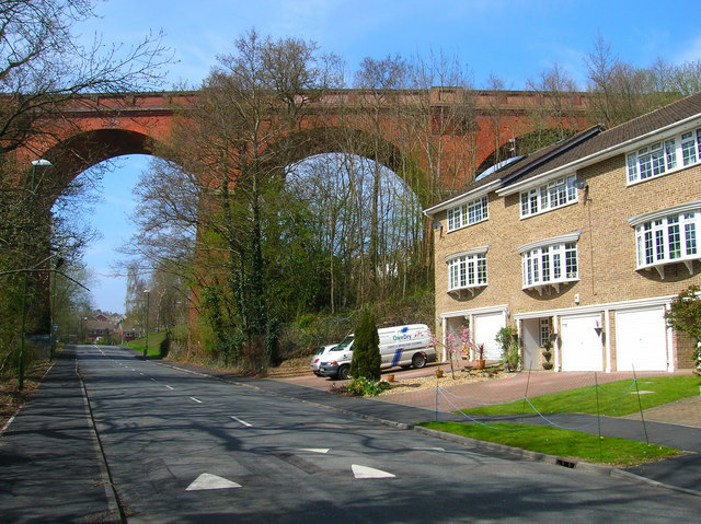
Imberhorne Viaduct

Imberhorne Viaduct is a Grade II listed railway viaduct located in East Grinstead, West Sussex, South-East England. Closed in 1958, the structure was brought...

Bush Davies School of Theatre Arts

Bush Davies School of Theatre Arts was a dance and performing arts school in the United Kingdom. Founded by the dance teacher Pauline Bush in Nottingham...

Thedden Grange

Thedden Grange is a privately owned country house and estate in the civil parish of Bentworth, on the outskirts of Alton, Hampshire, England. Since renovation...

Nearby Amenities

Located within 500m of 51.133654,-0.0290189
Created By: Merkaartor 0.11
Lat/Long: 51.1352616/-0.0251484
Mini Roundabout
Lat/Long: 51.1315905/-0.0288478
Bus Stop
Gwynne Gardens
Bus: yes
Naptan AtcoCode: 4400EG0312
Naptan Bearing: NW
Naptan CommonName: Gwynne Gardens
Naptan Indicator: adj
Naptan Landmark: Gwynne Gardens
Naptan NaptanCode: wsxapjdm
Naptan ShortCommonName: Gwynne Gardens
Naptan Street: London Road
Naptan Verified: yes
Public Transport: platform
Source: naptan_import
Wheelchair: yes
Lat/Long: 51.1337324/-0.0247118
Bus Stop
Heathcote Drive
Bus: yes
Naptan AtcoCode: 4400EG0286
Naptan Bearing: S
Naptan CommonName: Heathcote Drive
Naptan Indicator: o/s 7
Naptan Landmark: Heathcote Drive
Naptan NaptanCode: wsxapgpw
Naptan Street: Garden Wood Road
Naptan Verified: no
Public Transport: platform
Shelter: no
Source: naptan_import
Lat/Long: 51.1307064/-0.0294206
Bus Stop
Heathcote Drive
Bus: yes
Naptan AtcoCode: 4400EG0287
Naptan Bearing: N
Naptan CommonName: Heathcote Drive
Naptan Indicator: outside 14
Naptan Landmark: Heathcote Drive
Naptan NaptanCode: wsxapgta
Naptan Street: Garden Wood Road
Naptan Verified: no
Public Transport: platform
Shelter: no
Source: naptan_import
Lat/Long: 51.1307126/-0.029591
Bus Stop
Yew Lane
Bus: yes
Naptan AtcoCode: 4400EG0304
Naptan Bearing: NW
Naptan CommonName: Yew Lane
Naptan Indicator: outside Post Office
Naptan Landmark: Yew Lane
Naptan NaptanCode: wsxapjaj
Naptan ShortCommonName: Yew Lane
Naptan Street: London Road
Naptan Verified: no
Public Transport: platform
Source: naptan_import
Wheelchair: yes
Lat/Long: 51.1362215/-0.0321547
Bus Stop
Yew Lane
Bus: yes
Naptan AtcoCode: 4400EG0305
Naptan Bearing: SE
Naptan CommonName: Yew Lane
Naptan Indicator: opp Post Office
Naptan Landmark: Yew Lane
Naptan NaptanCode: wsxapjam
Naptan ShortCommonName: Yew Lane
Naptan Street: London Road
Naptan Verified: no
Public Transport: platform
Source: naptan_import
Wheelchair: yes
Lat/Long: 51.1360935/-0.0315651
Bus Stop
Halsford Green
Bus: yes
Naptan AtcoCode: 4400EG0306
Naptan Bearing: SE
Naptan CommonName: Halsford Green
Naptan Indicator: opp
Naptan Landmark: Halsford Green
Naptan NaptanCode: wsxapjap
Naptan ShortCommonName: Halsford Green
Naptan Street: London Road
Naptan Verified: no
Public Transport: platform
Source: naptan_import
Wheelchair: limited
Lat/Long: 51.1352021/-0.0292535
Bus Stop
Halsford Green
Bus: yes
Naptan AtcoCode: 4400EG0307
Naptan Bearing: W
Naptan CommonName: Halsford Green
Naptan Indicator: adj
Naptan Landmark: Halsford Green
Naptan NaptanCode: wsxapjat
Naptan ShortCommonName: Halsford Green
Naptan Street: London Road
Naptan Verified: no
Public Transport: platform
Source: naptan_import
Wheelchair: limited
Lat/Long: 51.1347944/-0.0283871
Bus Stop
Buckhurst Way
Bus: yes
Naptan AtcoCode: 4400EG0308
Naptan Bearing: SE
Naptan BusStopType: CUS
Naptan CommonName: Buckhurst Way
Naptan Indicator: London Road
Naptan Landmark: just before entrance to Buckhurst W
Naptan NaptanCode: wsxapjaw
Naptan ShortCommonName: Buckhurst Way
Naptan Street: London Road
Naptan Verified: no
Public Transport: platform
Source: naptan_import
Wheelchair: yes
Lat/Long: 51.1343481/-0.0263493
Bus Stop
Buckhurst Way
Bus: yes
Naptan AtcoCode: 4400EG0309
Naptan Bearing: S
Naptan BusStopType: CUS
Naptan CommonName: Buckhurst Way
Naptan Indicator: Dorset Avenue
Naptan Landmark: just before Dorset Avenue
Naptan NaptanCode: wsxapjda
Naptan Street: Buckhurst Way
Naptan Verified: no
Public Transport: platform
Source: naptan_import
Wheelchair: no
Lat/Long: 51.13611/-0.0245208
Bus Stop
Sackville Lane
Bus: yes
Naptan AtcoCode: 4400EG0310
Naptan Bearing: E
Naptan BusStopType: CUS
Naptan CommonName: Sackville Lane
Naptan Indicator: adj Sackville Lane
Naptan Landmark: Sackville Lane
Naptan NaptanCode: wsxapjdg
Naptan Street: King George Avenue
Naptan Verified: no
Public Transport: platform
Source: naptan_import
Wheelchair: no
Lat/Long: 51.1377743/-0.0282809
North End
Is In: East Grinstead
Place: suburb
Lat/Long: 51.1366139/-0.0305758
Post Office
Heathcote Post Office
Addr City: East Grinstead
Addr Housenumber: 59
Addr Postcode: RH19 1NB
Addr Street: Heathcote Drive
Brand: Post Office
Brand Wikidata: Q1783168
Brand Wikipedia: en:Post Office Ltd
Fhrs Id: 1439396
Opening Hours: Mo-Sa 07:00-19:00; Su 08:00-16:00
Ref Pol Id: 674
Shop: newsagent
Source: OS OpenData StreetView
Toilets Wheelchair: no
Website: https://www.postoffice.co.uk/branch-finder/0759120/heathcote-drive
Wheelchair: no
Lat/Long: 51.1302751/-0.0273801
Mini Roundabout
Direction: clockwise
Source: Bing
Lat/Long: 51.1360588/-0.0345632
Priority: forward
Traffic Calming: choker
Lat/Long: 51.1310513/-0.0330434
Barrier: cycle_barrier
Lat/Long: 51.1329541/-0.0296651
D & C Cycles Ltd
Addr City: East Grinstead
Addr Country: GB
Addr District: Lingfield
Addr Housename: Unit 3 Imberhorne Way
Addr Postcode: RH19 1RL
Addr Street: Imberhorne Way
Addr Unit: unit3
Phone: +441342323494
Service Bicycle Repair: yes
Shop: bicycle
Website: https://www.yelp.com/biz/d-and-c-cycles-ltd-east-grinstead
Lat/Long: 51.1342822/-0.03228
Barrier: bollard
Lat/Long: 51.1337556/-0.0289945
Barrier: bollard
Lat/Long: 51.1345566/-0.0275625
Barrier: bollard
Lat/Long: 51.133647/-0.0288082
Crossing
Crossing: traffic_signals
Crossing Ref: pelican
Lat/Long: 51.1337282/-0.0244595
Crossing
Crossing: traffic_signals
Crossing Ref: pelican
Lat/Long: 51.1360982/-0.0317346
Traffic Calming: bump
Lat/Long: 51.1372501/-0.0311102
Speed Camera
Direction: 300
Maxspeed: 30 mph
Lat/Long: 51.1344496/-0.0271085
Stirrups Equestrian Supplies
Addr City: East Grinstead
Addr Housenumber: 55
Addr Postcode: RH19 1NB
Addr Street: Heathcote Drive
Shop: equestrian
Lat/Long: 51.1302856/-0.0271502
Headkandi
Addr City: East Grinstead
Addr Housenumber: 57
Addr Postcode: RH19 1NB
Addr Street: Heathcote Drive
Phone: +44 (0)1342 328 600
Shop: hairdresser
Website: https://www.headkandi.co.uk/
Lat/Long: 51.1303098/-0.0272347
Fast Food
The Real Pizza Company
Addr City: East Grinstead
Addr Housenumber: 53
Addr Postcode: RH19 1NB
Addr Street: Heathcote Drive
Contact Facebook: https://www.facebook.com/TheRealPizzaCompany/
Cuisine: pizza
Fhrs Id: 956899
Phone: +44 1342 779322
Website: https://www.therealpizzacompany.co.uk
Lat/Long: 51.1302633/-0.027057
Jaybee Stores
Addr City: East Grinstead
Addr Housenumber: 17
Addr Place: North End
Addr Postcode: RH19 1QQ
Addr Street: London Road
Fhrs Id: 493291
Phone: +44 1342 323635
Shop: convenience
Lat/Long: 51.1361673/-0.032204
Man Made: mast
Lat/Long: 51.1330688/-0.0220597
Bus Stop
Fairlawn Drive
Bus: yes
Departures Board: timetable
Naptan AtcoCode: 4400EG0651
Naptan NaptanCode: wsxgmgwa
Operator: Metrobus
Public Transport: platform
Shelter: no
Lat/Long: 51.1321008/-0.031183
Bus Stop
Imberhorne Upper School Grounds
Access: private
Bus: yes
Naptan AtcoCode: 4400EG0649
Naptan NaptanCode: wsxgmgtp
Public Transport: platform
Lat/Long: 51.134736/-0.034342
Post Box
Brand: Royal Mail
Brand Wikidata: Q638098
Brand Wikipedia: en:Royal Mail
Collection Times: Mo-Fr 09:00; Sa 07:00
Drive Through: no
Operator: Royal Mail
Operator Wikidata: Q638098
Post Box Type: pillar
Ref: RH19 116D
Royal Cypher: EIIR
Royal Cypher Wikidata: Q33102113
Lat/Long: 51.13208/-0.0304733
Post Box
Brand: Royal Mail
Brand Wikidata: Q638098
Brand Wikipedia: en:Royal Mail
Collection Times: Mo-Fr 09:00; Sa 07:00
Drive Through: no
Operator: Royal Mail
Operator Wikidata: Q638098
Post Box Type: wall
Ref: RH19 70
Royal Cypher: GVIR
Royal Cypher Wikidata: Q33102169
Lat/Long: 51.1361695/-0.0245221
Post Box
Brand: Royal Mail
Brand Wikidata: Q638098
Brand Wikipedia: en:Royal Mail
Collection Times: Mo-Fr 09:00; Sa 07:00
Drive Through: no
Operator: Royal Mail
Operator Wikidata: Q638098
Post Box Type: pillar
Ref: RH19 45D
Royal Cypher: GVIR
Royal Cypher Wikidata: Q33102169
Lat/Long: 51.1337411/-0.0247519
Post Box
Brand: Royal Mail
Brand Wikidata: Q638098
Brand Wikipedia: en:Royal Mail
Collection Times: Mo-Fr 09:00; Sa 07:00
Drive Through: no
Operator: Royal Mail
Operator Wikidata: Q638098
Post Box Type: pillar
Ref: RH19 17D
Royal Cypher: EIIR
Royal Cypher Wikidata: Q33102113
Lat/Long: 51.136194/-0.0321066
First Car Sales
Disused Shop: car
Lat/Long: 51.1364037/-0.032098
Post Box
Brand: Royal Mail
Brand Wikidata: Q638098
Brand Wikipedia: en:Royal Mail
Collection Times: Mo-Fr 17:00; Sa 12:00
Drive Through: no
Operator: Royal Mail
Operator Wikidata: Q638098
Post Box Type: pillar
Ref: RH19 111
Royal Cypher: EIIR
Royal Cypher Wikidata: Q33102113
Lat/Long: 51.1304494/-0.0272116
Barrier: lift_gate
Lat/Long: 51.1324841/-0.0326902
Barrier: cycle_barrier
Lat/Long: 51.1325569/-0.0330355
Bus Stop
Imberhorne Upper School
Bus: yes
Public Transport: platform
Lat/Long: 51.1345657/-0.0337478
Bus Stop
Imberhorne Upper School
Bus: yes
Naptan AtcoCode: 4400EG0301
Naptan NaptanCode: wsxapgwt
Public Transport: platform
Lat/Long: 51.1347457/-0.0340218
Crossing
Crossing: unmarked
Crossing Island: no
Crossing Markings: no
Tactile Paving: no
Lat/Long: 51.1346096/-0.0272946
Traffic Signals
Traffic Signals: signal
Traffic Signals Direction: both
Lat/Long: 51.1336194/-0.0333633
Howdens
Addr City: East Grinstead
Addr Housenumber: Unit 1A-1B
Addr Postcode: RH19 1TU
Addr Street: Imberhorne Lane
Operator: Howdens
Phone: +44 1342 410544
Shop: kitchen
Website: https://www.howdens.com/find-a-depot/east-grinstead
Lat/Long: 51.1354132/-0.0353391
G & K Roofing
Addr City: East Grinstead
Addr Housenumber: Unit 1C
Addr Postcode: RH19 1TU
Addr Street: Imberhorne Lane
Office: yes
Phone: +44 1342 349270
Lat/Long: 51.1353385/-0.0356044
Bus Stop
Fairlawn Drive
Bus: yes
Departures Board: timetable
Naptan AtcoCode: 4400EG0650
Naptan NaptanCode: wsxgmgtw
Operator: Metrobus
Public Transport: platform
Ref: wsxgmgtw
Shelter: no
Lat/Long: 51.1321965/-0.0317161
Stildon Mews
Addr City: East Grinstead
Addr Housename: Stildon Mews
Addr Postcode: RH19 1PX
Addr Street: London Road
Landuse: residential
Residential: apartments
Lat/Long: 51.1339455/-0.0240824
Propane, Butane gas bottles
Addr Street: London Road
Shop: fuel
Lat/Long: 51.1366647/-0.0325271
Waste Basket
Waste: dog_excrement
Lat/Long: 51.1327811/-0.0298469
Waste Basket
Waste: trash
Lat/Long: 51.1327605/-0.0298503
Waste Basket
Waste: trash
Lat/Long: 51.1335047/-0.0242014
Barrier: cycle_barrier
Lat/Long: 51.1311699/-0.0331486
Heathcote Express
Addr City: East Grinstead
Addr Housenumber: 59
Addr Postcode: RH19 1NB
Addr Street: Heathcote Drive
Opening Hours: Su-Fr 07:00-19:00; Sa 07:30-16:00
Shop: convenience
Website: https://www.postoffice.co.uk/branch-finder/0759120/heathcote-drive
Lat/Long: 51.1303369/-0.02735
Distance: 29 mi
Historic: milestone
Marker: plate
Lat/Long: 51.1345076/-0.0273042
Traffic Calming: bump
Lat/Long: 51.1363845/-0.0316459
Traffic Calming: bump
Lat/Long: 51.1367977/-0.0312111
Traffic Calming: bump
Lat/Long: 51.1375091/-0.0311871
Traffic Calming: bump
Lat/Long: 51.1377927/-0.0312744
Direction: 190
Traffic Sign: GB:557.1
Lat/Long: 51.1362681/-0.0319038
Crossing
Crossing: unmarked
Crossing Island: no
Crossing Markings: no
Tactile Paving: no
Lat/Long: 51.1349007/-0.0283161
The data included in this document is from www.openstreetmap.org. The data is made available under ODbL.

Have you been to Baldwins Hill?

Leave your review of Baldwins Hill below (or comments, questions and feedback).