Baldwin's Gate

Settlement in Staffordshire Newcastle-under-Lyme

England

Baldwin's Gate

A51 in Hill Chorlton
A51 in Hill Chorlton Credit: Peter Whatley

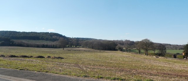
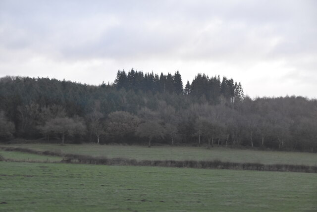
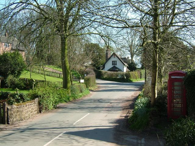
Baldwin's Gate is a small village located in the county of Staffordshire, England. Situated within the parish of Newcastle-under-Lyme, it lies approximately 5 miles northeast of the town of Newcastle-under-Lyme itself. The village is nestled in a rural area and is known for its picturesque countryside surroundings.

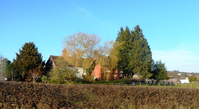
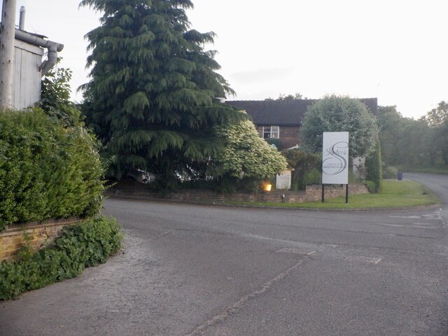
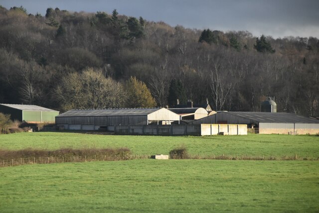
Baldwin's Gate is a tight-knit community with a population of around 500 residents. The village offers a peaceful and tranquil environment, making it an attractive place to live for those seeking a quieter lifestyle. The village is predominantly residential, with a mix of old cottages and more contemporary houses.

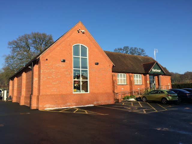
Although small in size, Baldwin's Gate has some amenities to cater to the needs of its residents. The village is home to a local pub, which serves as a social hub for the community. There is also a primary school, providing education for the village's younger population.

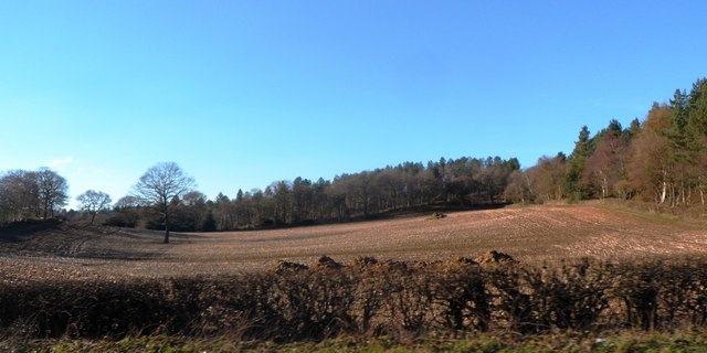
The surrounding countryside offers ample opportunities for outdoor activities such as walking, cycling, and horse riding. Many residents and visitors take advantage of the nearby nature trails and scenic routes to explore the beautiful Staffordshire landscape.

Baldwin's Gate benefits from its proximity to larger towns and cities. The nearby Newcastle-under-Lyme and Stoke-on-Trent offer a wider range of amenities, including shopping centers, leisure facilities, and employment opportunities. The village is well-connected by road, with the A53 running through it, providing easy access to the surrounding areas.

In summary, Baldwin's Gate is a charming village in Staffordshire, offering a peaceful and idyllic setting for its residents. With its rural surroundings and close proximity to larger towns, it strikes a perfect balance between a tranquil lifestyle and access to modern amenities.

If you have any feedback on the listing, please let us know in the comments section below.

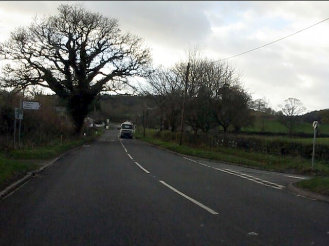
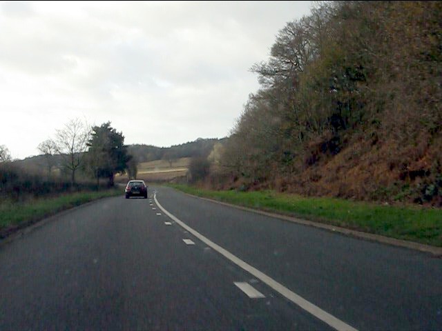
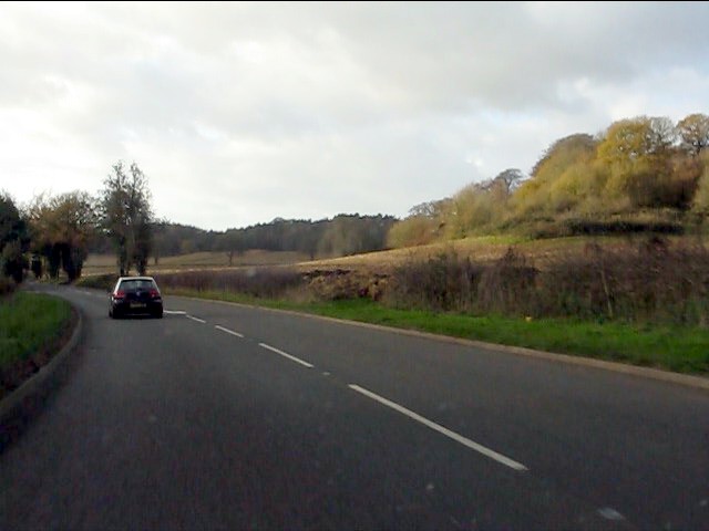
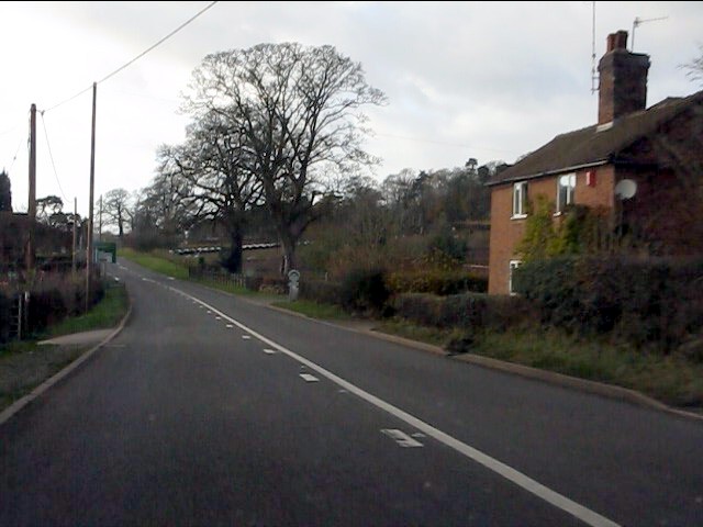
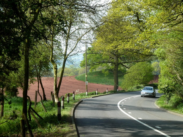
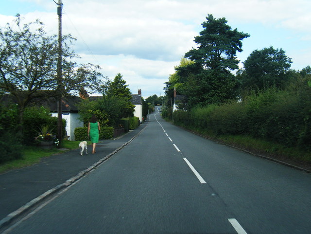
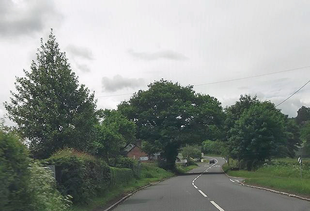
Baldwin's Gate Images

Images are sourced within 2km of 52.955596/-2.311817 or Grid Reference SJ7939. Thanks to Geograph Open Source API. All images are credited.

A51 in Hill Chorlton
A51 at the principal junction for Madeley
A51 at Berth Hill
A51 at Berth Hill
A51 west of Berth Hill
House by the A51 near The Bogs
A51 west of Hill Chorlton Taken into the sun on a December afternoon and hence lots of nasty glare.
A51 west of Hill Chorlton
Taken into the sun on a December afternoon and hence lots of nasty glare.
Lodge and gates near Maer Entrance to Maer Hall. The lodge has two Dutch gables, and the walls and gate piers are topped with ball finials. All this dates from c1860. Grade II listed.
Lodge and gates near Maer
Entrance to Maer Hall. The lodge has two Dutch gables, and the walls and gate piers are topped with ball finials. All this dates from c1860. Grade II listed.
A53 near War Hill The road curves out of a wooded section through the Maer Hills.  It looked very attractive during a brief stop when passing through on a sunny May day.
A53 near War Hill
The road curves out of a wooded section through the Maer Hills. It looked very attractive during a brief stop when passing through on a sunny May day.
A51 in Hill Chorlton
Sandy Lane junction from A51
Junction by war memorial in Maer
Ploughed Field near Maer Hills
Field of stubble near Maer Hills
Farm House at Baldwin's Gate Farm
Barbour store in converted school Blackbrook Barbour 'partner' retail store is housed in this converted school.
Barbour store in converted school
Blackbrook Barbour 'partner' retail store is housed in this converted school.
Slater's Bar and restaurant.
Slater's
Bar and restaurant.
Whitmore Wood
Whitmore Wood
Snapehall Farm
Snapehall Farm
Show me another place!

Baldwin's Gate is located at Grid Ref: SJ7939 (Lat: 52.955596, Lng: -2.311817)

Administrative County: Staffordshire

District: Newcastle-under-Lyme

Police Authority: Staffordshire

What 3 Words

///elevated.ventures.petulant. Near Standon, Staffordshire

Related Wikis

Baldwin's Gate

Baldwin's Gate is a village in the Borough of Newcastle-under-Lyme in Staffordshire. The population details for the 2011 census can be found under Whitmore...

Whitmore railway station

Whitmore was a station serving the village of Whitmore, Staffordshire. == History == The station opened onto the Grand Junction Railway in 1837: 41  when...

Berth Hill

Berth Hill is an Iron Age hillfort in Staffordshire, England, about 5 miles (8.0 km) south-west of Newcastle-under-Lyme, and near the village of Maer....

Maer Hall

Maer Hall is a large Grade II listed 17th-century country house in Maer, Staffordshire, set in a park which is listed Grade II in Historic England's Register...

Maer, Staffordshire

Maer is a rural village and civil parish in the Borough of Newcastle-under-Lyme, Staffordshire, England, to the west of the pottery manufacturing town...

Newcastle-under-Lyme Rural District

Newcastle-under-Lyme Rural District was a rural district in the county of Staffordshire. It was formed in 1894 with the civil parishes of Ashley, Audley...

Whitmore, Staffordshire

Whitmore is a village and small curacy in the county of Staffordshire, England, near Newcastle-under-Lyme. The name Whitmore can be found in the Domesday...

Whitmore Hall

Whitmore Hall is the home of the Cavenagh-Mainwaring family at Whitmore, Staffordshire. A Grade I listed building, the hall was designated a house of...

Nearby Amenities

Located within 500m of 52.955596,-2.311817
Bus Stop
Sandyfields
Bus: yes
Naptan AtcoCode: 3800C520601
Naptan Bearing: S
Naptan CommonName: Sandyfields
Naptan Indicator: Opp
Naptan Street: A53
Naptan Verified: no
Public Transport: platform
Source: naptan_import
Lat/Long: 52.9576768/-2.3096196
Bus Stop
Sandyfields
Bus: yes
Naptan AtcoCode: 3800C520602
Naptan Bearing: NE
Naptan CommonName: Sandyfields
Naptan Indicator: Adj
Naptan Street: A53
Naptan Verified: no
Public Transport: platform
Source: naptan_import
Lat/Long: 52.9576404/-2.309798
Bus Stop
Sandy Lane
Bus: yes
Naptan AtcoCode: 3800C526301
Naptan Bearing: S
Naptan CommonName: Sandy Lane
Naptan Indicator: Adj
Naptan Landmark: Sandy Lane
Naptan Street: Woodside
Naptan Verified: no
Public Transport: platform
Source: naptan_import
Lat/Long: 52.9548228/-2.3112813
Bus Stop
Whitmore Road
Bus: yes
Naptan AtcoCode: 3800C526302
Naptan Bearing: N
Naptan CommonName: Whitmore Road
Naptan Indicator: Adj
Naptan Landmark: Whitmore Road
Naptan Street: Woodside
Naptan Verified: no
Public Transport: platform
Source: naptan_import
Lat/Long: 52.9557295/-2.3117492
Turning Circle
Lat/Long: 52.9574962/-2.3101587
Turning Circle
Lat/Long: 52.9587718/-2.3109334
Turning Circle
Lat/Long: 52.9596026/-2.3095328
Place Of Worship
Baldwin's Gate Methodist Church
Contact Website: http://www.northstaffordshiremethodists.org.uk/churches/church-profiles/circuit-churches-5742.php
Denomination: methodist
Religion: christian
Source: Bing; knowledge
Lat/Long: 52.9573551/-2.3097321
Barrier: stile
Lat/Long: 52.9530593/-2.3170087
Noexit: yes
Lat/Long: 52.9574117/-2.3051551
Noexit: yes
Lat/Long: 52.9574585/-2.3053348
Power: pole
Lat/Long: 52.9528362/-2.3078857
Power: pole
Lat/Long: 52.9533338/-2.3087172
Post Box
Brand: Royal Mail
Brand Wikidata: Q638098
Mapillary: 464825891689029
Operator: Royal Mail
Operator Wikidata: Q638098
Post Box Mounting: pier
Post Box Type: lamp
Survey Date: 2021-09-01
Lat/Long: 52.9579548/-2.3097268
Material: wood
Power: pole
Lat/Long: 52.9589642/-2.3077108
Material: wood
Power: pole
Lat/Long: 52.9582344/-2.3093164
Shelter
Lat/Long: 52.9577658/-2.3097402
Material: wood
Power: pole
Lat/Long: 52.9579128/-2.3096571
Material: wood
Power: pole
Lat/Long: 52.9585397/-2.3089463
Material: wood
Power: pole
Lat/Long: 52.9574103/-2.3101157
Material: wood
Power: pole
Lat/Long: 52.9587999/-2.3082382
Bench
Lat/Long: 52.9577108/-2.3097966
Bench
Source Position: Mapillary 2021-09-01
Lat/Long: 52.957645/-2.309876
The data included in this document is from www.openstreetmap.org. The data is made available under ODbL.

Have you been to Baldwin's Gate?

Leave your review of Baldwin's Gate below (or comments, questions and feedback).