Crymlyn

Settlement in Caernarfonshire

Wales

Crymlyn

Woodland and slate fence near Bronydd Isaf
Woodland and slate fence near Bronydd Isaf Credit: Hansjoerg Lipp

Crymlyn is a small village located in the historic county of Caernarfonshire, Wales. Situated on the northern coast of the country, it lies within the boundaries of the Snowdonia National Park, offering residents and visitors breathtaking natural beauty.

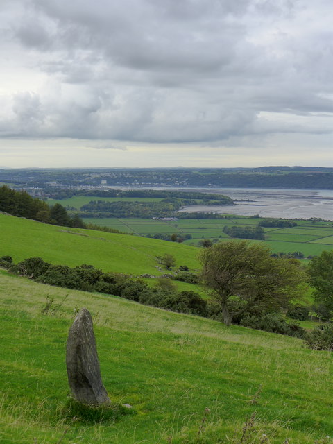
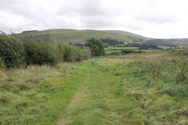
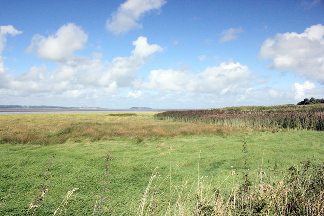
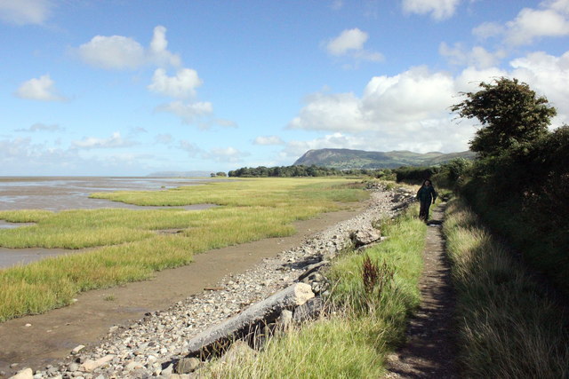
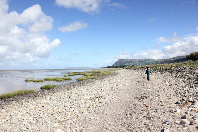
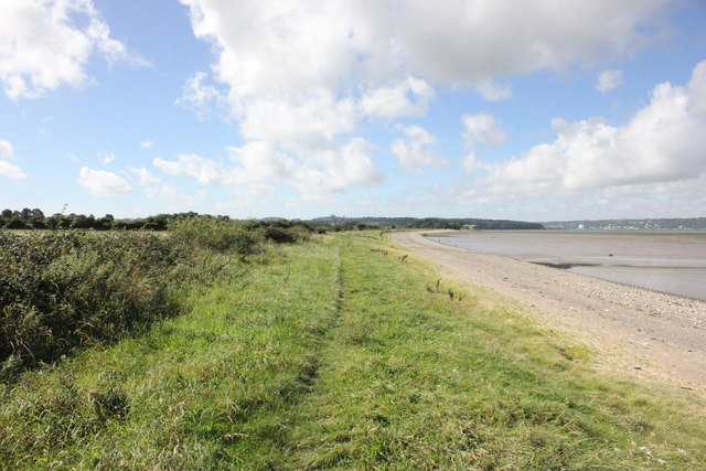
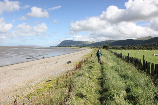
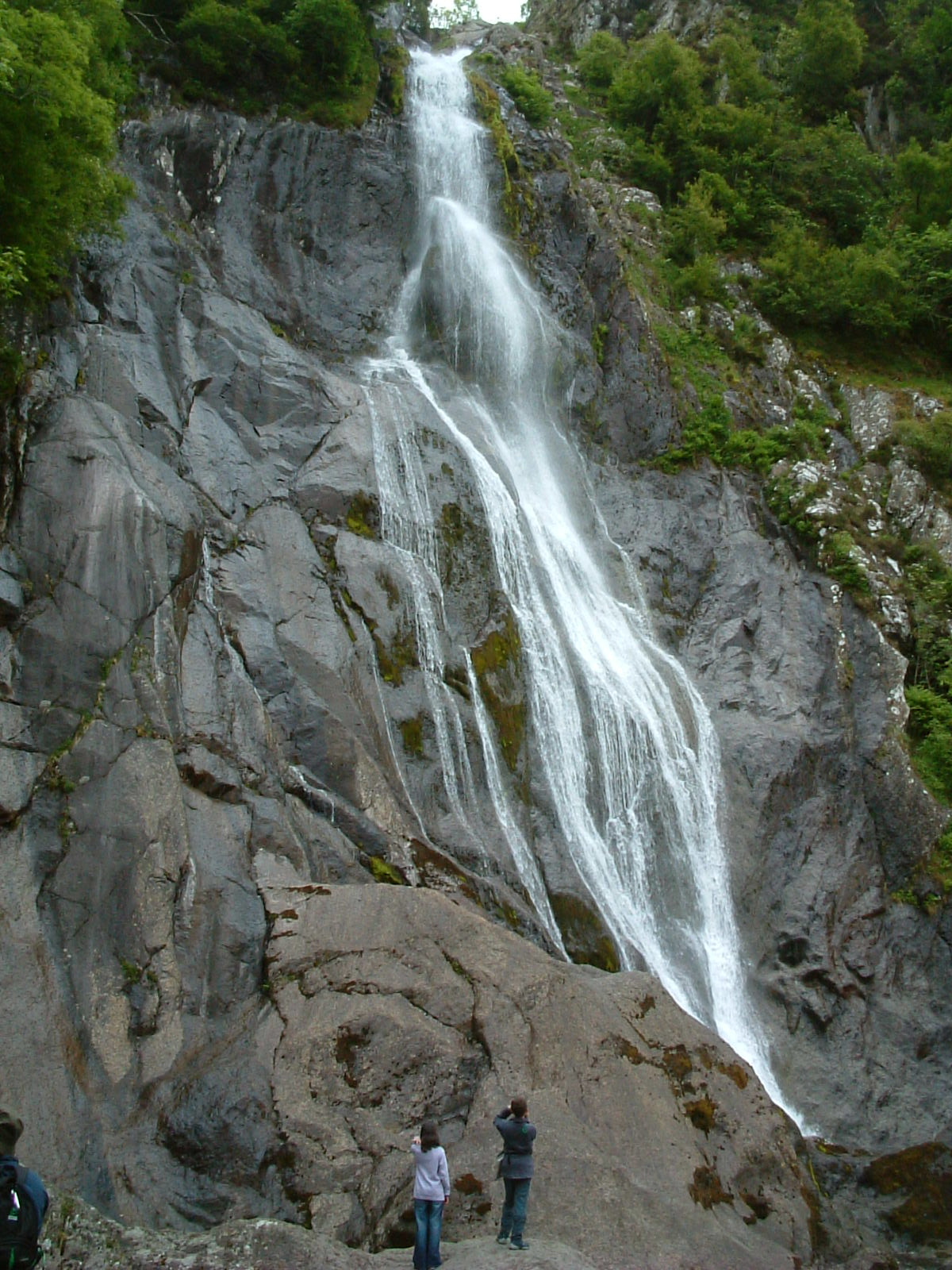
With a population of approximately 500 people, Crymlyn is a close-knit community known for its tranquility and charm. The village is surrounded by rolling green hills and is bordered by the Irish Sea to the north, providing stunning views and access to the coast. Its picturesque location attracts nature enthusiasts, hikers, and photographers, who appreciate the rugged landscapes and diverse flora and fauna.

Despite its small size, Crymlyn has a rich history. The village is home to several historic landmarks, including a 13th-century church, St. Owain's Church, which stands as a reminder of the area's religious heritage. Additionally, remnants of an ancient castle, Castell Aberlleiniog, can be found nearby, adding to the historical significance of the region.

Crymlyn offers limited amenities, with a small convenience store and a traditional pub providing the essentials for residents. However, for more extensive shopping and services, the nearby town of Caernarfon is easily accessible by car or public transportation.

Overall, Crymlyn is a tranquil village that offers a peaceful retreat for those seeking a serene and picturesque setting. Its natural beauty, historical landmarks, and proximity to the Snowdonia National Park make it an appealing destination for nature lovers and history enthusiasts alike.

If you have any feedback on the listing, please let us know in the comments section below.
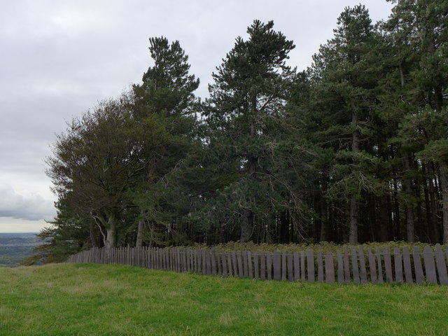
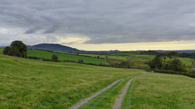
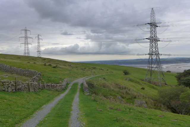
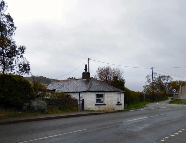
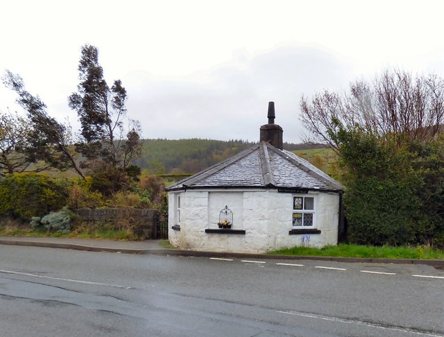
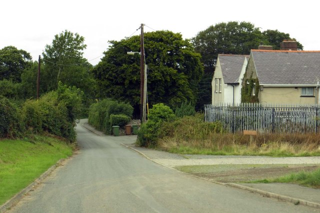
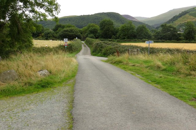
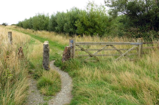
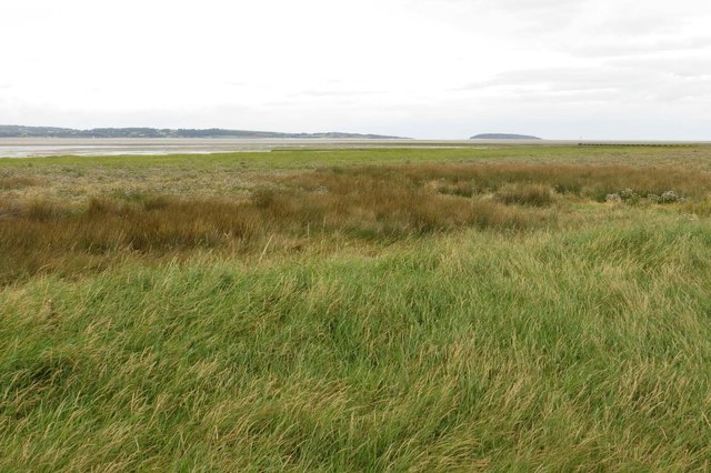
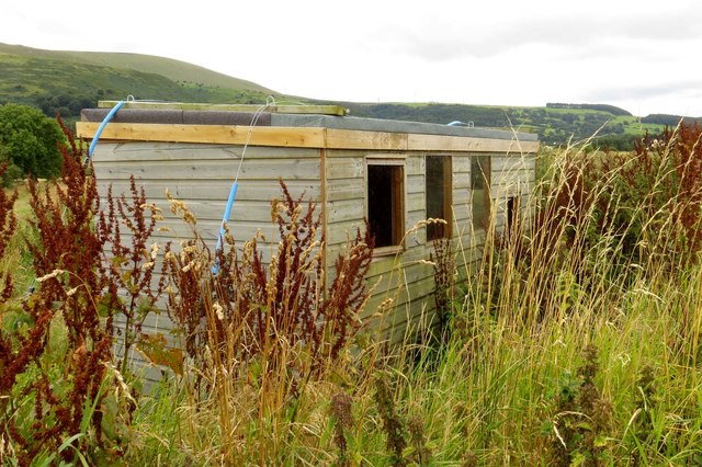
Crymlyn Images

Images are sourced within 2km of 53.223243/-4.0410258 or Grid Reference SH6371. Thanks to Geograph Open Source API. All images are credited.

Woodland and slate fence near Bronydd Isaf
North Wales Path near Bronydd Isaf
North Wales Path near Bronydd Isaf Afon Menai and Anglesey can be seen in the background.
North Wales Path near Bronydd Isaf
Afon Menai and Anglesey can be seen in the background.
Fields near Bronydd Isaf
Turnpike House, Llanllechid 
Located right on the road in Tan-y-lon at the junction between the old Bangor to Conwy road and the road which runs roughly parallel with it between Tan-y-lon and Eglwys St Cross. It was constructed as a toll house on the road which was turnpiked as part of the route between Chester and Holyhead in the 1820s.

It is Grade II listed <span class="nowrap"><a title="http://www.britishlistedbuildings.co.uk/wa-22937-turnpike-house-llanllechid" rel="nofollow ugc noopener" href="http://www.britishlistedbuildings.co.uk/wa-22937-turnpike-house-llanllechid">Link</a><img style="margin-left:2px;" alt="External link" title="External link - shift click to open in new window" src="https://s1.geograph.org.uk/img/external.png" width="10" height="10"/></span>
Turnpike House, Llanllechid
Located right on the road in Tan-y-lon at the junction between the old Bangor to Conwy road and the road which runs roughly parallel with it between Tan-y-lon and Eglwys St Cross. It was constructed as a toll house on the road which was turnpiked as part of the route between Chester and Holyhead in the 1820s. It is Grade II listed LinkExternal link
Turnpike House, Llanllechid 
Located right on road in Tan-y-lon at the junction between the old Bangor to Conwy road and the road which runs roughly parallel with it between Tan-y-lon and Eglwys St Cross. It was constructed as a toll house on the road which was turnpiked as part of the route between Chester and Holyhead in the 1820s.

It is Grade II listed <span class="nowrap"><a title="http://www.britishlistedbuildings.co.uk/wa-22937-turnpike-house-llanllechid" rel="nofollow ugc noopener" href="http://www.britishlistedbuildings.co.uk/wa-22937-turnpike-house-llanllechid">Link</a><img style="margin-left:2px;" alt="External link" title="External link - shift click to open in new window" src="https://s1.geograph.org.uk/img/external.png" width="10" height="10"/></span>
Turnpike House, Llanllechid
Located right on road in Tan-y-lon at the junction between the old Bangor to Conwy road and the road which runs roughly parallel with it between Tan-y-lon and Eglwys St Cross. It was constructed as a toll house on the road which was turnpiked as part of the route between Chester and Holyhead in the 1820s. It is Grade II listed LinkExternal link
Station Road in Abergwyngregyn
Road to Abergwyngregyn
The Wales Coast Path through Morfa Aber
Salt marsh on Morfa Aber
Birdwatching hide at Morfa Aber
The Wales Coast Path at Abergwyngregyn The Wales Coast Path as it heads west towards the car park at Abergwyngregyn.

Wikipedia <span class="nowrap"><a title="https://en.wikipedia.org/wiki/Wales_Coast_Path" rel="nofollow ugc noopener" href="https://en.wikipedia.org/wiki/Wales_Coast_Path">Link</a><img style="margin-left:2px;" alt="External link" title="External link - shift click to open in new window" src="https://s1.geograph.org.uk/img/external.png" width="10" height="10"/></span>
The Wales Coast Path at Abergwyngregyn
The Wales Coast Path as it heads west towards the car park at Abergwyngregyn. Wikipedia LinkExternal link
View across Morfa Aber Nature Reserve View across Morfa Aber Nature Reserve from the Wales Coast Path at Abergwyngregyn.
View across Morfa Aber Nature Reserve
View across Morfa Aber Nature Reserve from the Wales Coast Path at Abergwyngregyn.
The Wales Coast Path at Abergwyngregyn The Wales Coast Path heading east at Abergwyngregyn. Penmaenmawr mountain can be seen in the distance.

Wikipedia <span class="nowrap"><a title="https://en.wikipedia.org/wiki/Wales_Coast_Path" rel="nofollow ugc noopener" href="https://en.wikipedia.org/wiki/Wales_Coast_Path">Link</a><img style="margin-left:2px;" alt="External link" title="External link - shift click to open in new window" src="https://s1.geograph.org.uk/img/external.png" width="10" height="10"/></span>
The Wales Coast Path at Abergwyngregyn
The Wales Coast Path heading east at Abergwyngregyn. Penmaenmawr mountain can be seen in the distance. Wikipedia LinkExternal link
The Wales Coast Path approaching Abergwyngregyn The Wales Coast Path heading east towards Abergwyngregyn.

Wikipedia <span class="nowrap"><a title="https://en.wikipedia.org/wiki/Wales_Coast_Path" rel="nofollow ugc noopener" href="https://en.wikipedia.org/wiki/Wales_Coast_Path">Link</a><img style="margin-left:2px;" alt="External link" title="External link - shift click to open in new window" src="https://s1.geograph.org.uk/img/external.png" width="10" height="10"/></span>
The Wales Coast Path approaching Abergwyngregyn
The Wales Coast Path heading east towards Abergwyngregyn. Wikipedia LinkExternal link
The Wales Coast Path near Abergwyngregyn The Wales Coast Path heading west between Abergwyngregyn and Aber-Ogwen.

Wikipedia <span class="nowrap"><a title="https://en.wikipedia.org/wiki/Wales_Coast_Path" rel="nofollow ugc noopener" href="https://en.wikipedia.org/wiki/Wales_Coast_Path">Link</a><img style="margin-left:2px;" alt="External link" title="External link - shift click to open in new window" src="https://s1.geograph.org.uk/img/external.png" width="10" height="10"/></span>
The Wales Coast Path near Abergwyngregyn
The Wales Coast Path heading west between Abergwyngregyn and Aber-Ogwen. Wikipedia LinkExternal link
The Wales Coast Path approaching Abergwyngregyn The Wales Coast Path heading east at Wig between Abergwyngregyn and Aber-Ogwen. In the distance is Penmaenmawr Mountain.

Wikipedia <span class="nowrap"><a title="https://en.wikipedia.org/wiki/Wales_Coast_Path" rel="nofollow ugc noopener" href="https://en.wikipedia.org/wiki/Wales_Coast_Path">Link</a><img style="margin-left:2px;" alt="External link" title="External link - shift click to open in new window" src="https://s1.geograph.org.uk/img/external.png" width="10" height="10"/></span>
The Wales Coast Path approaching Abergwyngregyn
The Wales Coast Path heading east at Wig between Abergwyngregyn and Aber-Ogwen. In the distance is Penmaenmawr Mountain. Wikipedia LinkExternal link
Stream entering the sea at Wig An unnamed stream enters the sea at Wig.
Stream entering the sea at Wig
An unnamed stream enters the sea at Wig.
Show me another place!

Crymlyn is located at Grid Ref: SH6371 (Lat: 53.223243, Lng: -4.0410258)

Unitary Authority: Gwynedd

Police Authority: North Wales

What 3 Words

///pelting.shudders.poetic. Near Aber, Gwynedd

Nearby Locations

Crymlyn Coed Wern-porchell

Related Wikis

Coedydd Aber National Nature Reserve

Coedydd Aber National Nature Reserve lies tucked away in a steep valley on the northern flanks of the Carneddau mountains, roughly midway between Bangor...

Battle of Y Dalar Hir

The Battle of Y Dalar Hir took place on 5 June 1648 in Caernarfonshire, North Wales, during the Second English Civil War. While little more than a skirmish...

Abergwyngregyn

Abergwyngregyn (Welsh: [abɛrɡwɨnˈɡrɛɡɨn]) is a village and community of historical note in Gwynedd, a county and principal area in Wales. Under its historic...

Powys Wenwynwyn

Powys Wenwynwyn or Powys Cyfeiliog was a Welsh kingdom which existed during the high Middle Ages. The realm was the southern portion of the former princely...

Kingdom of Powys

The Kingdom of Powys (Welsh: Teyrnas Powys; Latin: Regnum Poysiae) was a Welsh successor state, petty kingdom and principality that emerged during the...

Glywysing

Glywysing was, from the sub-Roman period to the Early Middle Ages, a petty kingdom in south-east Wales. Its people were descended from the Iron Age tribe...

Seisyllwg

Seisyllwg (Welsh: [sɛiˈsəɬʊɡ]) was a petty kingdom of medieval Wales. It is unclear when it emerged as a distinct unit, but according to later sources...

Kingdom of Ceredigion

The Kingdom of Ceredigion was one of several Welsh kingdoms that emerged in post-Roman Britain in the mid-5th century. Cardigan Bay to the west and the...

Nearby Amenities

Located within 500m of 53.223243,-4.0410258
Crymlyn
Is In: Gwynedd,Cymru,Wales,UK
Place: hamlet
Lat/Long: 53.2237329/-4.0414665
Power: pole
Lat/Long: 53.2211083/-4.0422338
Power: pole
Lat/Long: 53.2222841/-4.0387665
Power: pole
Lat/Long: 53.2253038/-4.0403486
Power: pole
Lat/Long: 53.2209557/-4.0426871
Power: pole
Lat/Long: 53.2234978/-4.0401042
Power: pole
Lat/Long: 53.2235984/-4.0461288
Power: pole
Lat/Long: 53.2212528/-4.0418154
Power: pole
Lat/Long: 53.2230739/-4.0407667
Power: pole
Lat/Long: 53.2240823/-4.04019
Power: pole
Lat/Long: 53.2214022/-4.0413594
Power: pole
Lat/Long: 53.223774/-4.0403777
Power: pole
Lat/Long: 53.221855/-4.0400183
Power: pole
Lat/Long: 53.2244366/-4.0430416
Power: pole
Lat/Long: 53.2233431/-4.0407
Power: pole
Lat/Long: 53.2231959/-4.0479443
Power: pole
Lat/Long: 53.2255982/-4.0394068
Power: pole
Lat/Long: 53.2264294/-4.0368591
Power: pole
Lat/Long: 53.2246636/-4.0402651
Power: pole
Lat/Long: 53.222841/-4.0393666
Power: pole
Lat/Long: 53.2239405/-4.044608
Power: pole
Lat/Long: 53.2260606/-4.0379825
Power: pole
Lat/Long: 53.2248959/-4.0416334
The data included in this document is from www.openstreetmap.org. The data is made available under ODbL.

Have you been to Crymlyn?

Leave your review of Crymlyn below (or comments, questions and feedback).