Chadderton Park

Settlement in Lancashire

England

Chadderton Park

Cinder Hill Lane Approaching Head o' th' Heys on this high edged lane used by the Oldham Way trail
Cinder Hill Lane Credit: Kevin Waterhouse

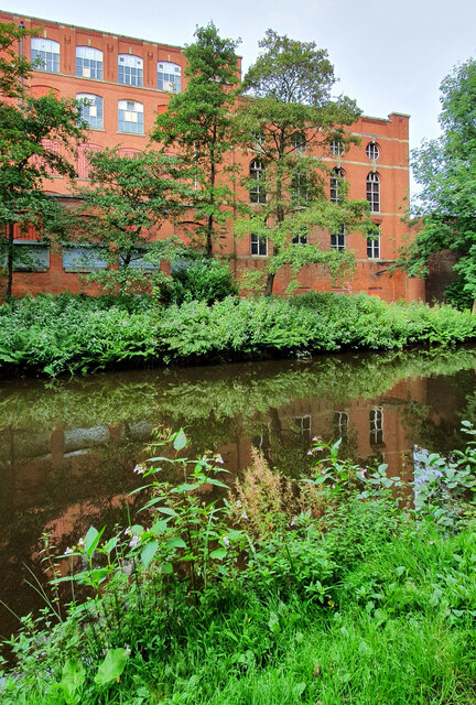
Chadderton Park is a picturesque public green space located in Lancashire, England. Situated in the town of Chadderton, it covers an area of approximately 30 acres and is a popular destination for locals and visitors alike. The park is easily accessible and is surrounded by residential areas, making it a convenient recreational spot for nearby residents.

The park boasts a variety of amenities and features to cater to the diverse interests of visitors. For sports enthusiasts, there are numerous football pitches and a cricket field where local teams often practice and compete. Additionally, there is a children's playground equipped with modern equipment, providing a safe and enjoyable environment for young ones.

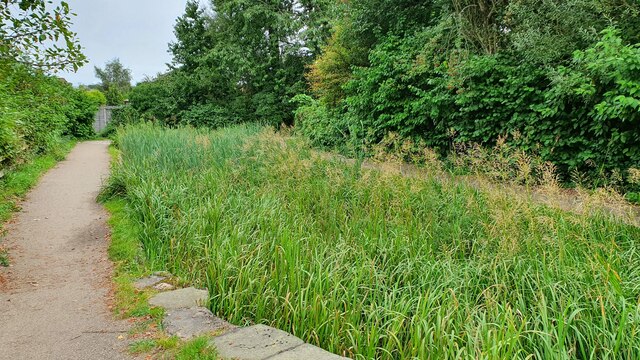
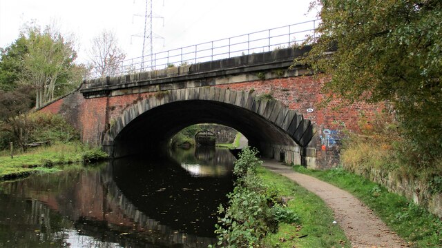
Nature lovers can appreciate the park's vast green spaces, dotted with beautiful flowerbeds and trees, creating a serene and peaceful atmosphere. There are also well-maintained walking paths and a designated jogging track, promoting an active lifestyle for those seeking outdoor exercise.

Chadderton Park is not only a recreational space but also serves as a community hub. It hosts various events and activities throughout the year, including fairs, music concerts, and charity runs. These events bring people together, fostering a sense of community spirit and camaraderie.

The park is also home to a quaint cafe, offering refreshments and light snacks for visitors to enjoy. This cozy spot provides a perfect opportunity to relax and unwind while taking in the scenic surroundings.

Overall, Chadderton Park in Lancashire is a delightful green oasis that offers something for everyone. Whether it's engaging in sports, enjoying nature, or participating in community events, this park has it all.

If you have any feedback on the listing, please let us know in the comments section below.

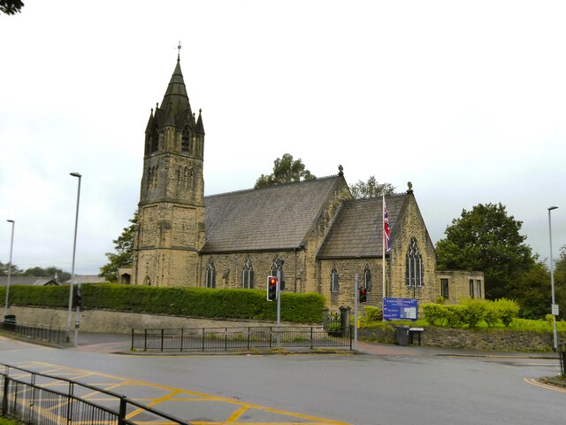
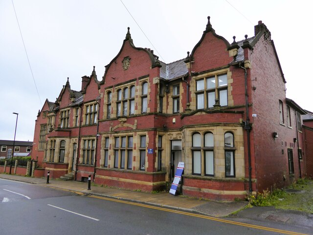
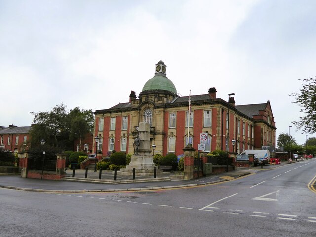
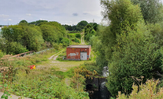
Chadderton Park Images

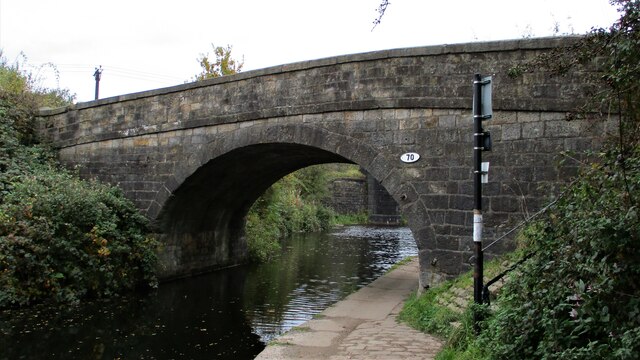
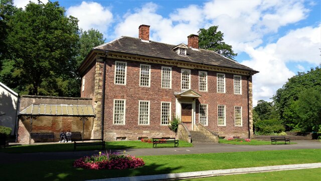
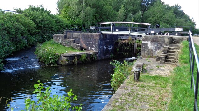
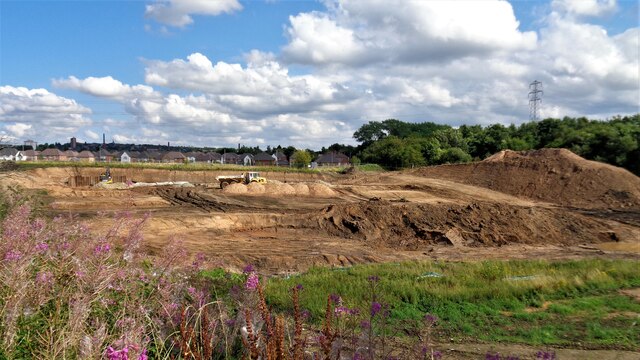
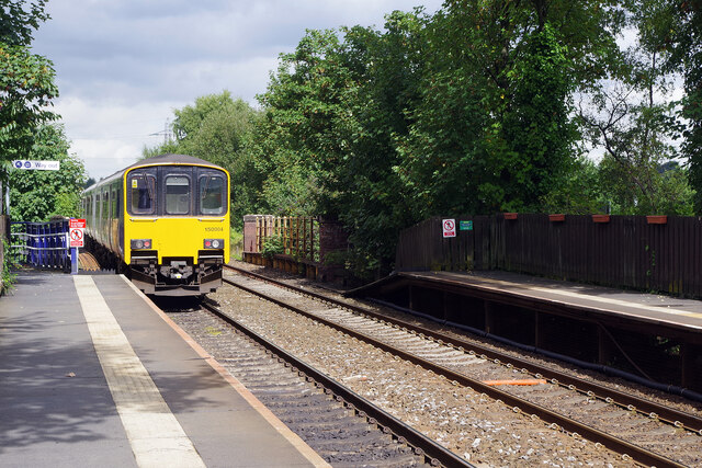
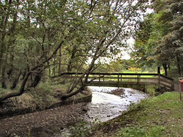
Images are sourced within 2km of 53.552573/-2.1606805 or Grid Reference SD8906. Thanks to Geograph Open Source API. All images are credited.

Cinder Hill Lane Approaching Head o' th' Heys on this high edged lane used by the Oldham Way trail
Cinder Hill Lane
Approaching Head o' th' Heys on this high edged lane used by the Oldham Way trail
Church of St Matthew
Works on Faulkenhurst Street Early OS maps show a Sunday School at this location and this works looks to have incorporated such a building
Works on Faulkenhurst Street
Early OS maps show a Sunday School at this location and this works looks to have incorporated such a building
Former Police Station In Victoria Street, very close to the other civic buildings of Chadderton, the Town Hall and the library
Former Police Station
In Victoria Street, very close to the other civic buildings of Chadderton, the Town Hall and the library
Chadderton Town Hall With the war memorial in front
Chadderton Town Hall
With the war memorial in front
Sewage Works Part of the old sewage works.
Sewage Works
Part of the old sewage works.
Malta Mill Old cotton mill alongside the Rochdale Canal.
Malta Mill
Old cotton mill alongside the Rochdale Canal.
Disused Canal Branch Branch off the Rochdale Canal leading to Ferney Field Colliery.
Disused Canal Branch
Branch off the Rochdale Canal leading to Ferney Field Colliery.
Locks on the Rochdale Canal Limefield farmhouse seen on the left of view
Locks on the Rochdale Canal
Limefield farmhouse seen on the left of view
Middleton Road View from railway bridge at Mills Hill Station
Middleton Road
View from railway bridge at Mills Hill Station
Railway Overbridge, Slattocks Crossing the Rochdale Canal, with lock No.58 beyond. The bridge carries No.68b
Railway Overbridge, Slattocks
Crossing the Rochdale Canal, with lock No.58 beyond. The bridge carries No.68b
Scowcroft Lane Bridge Over the Rochdale Canal and carrying the No.70
Scowcroft Lane Bridge
Over the Rochdale Canal and carrying the No.70
Foxdenton Hall The south facade
Foxdenton Hall
The south facade
River Irk View from the towpath on the Rochdale Canal Aqueduct
River Irk
View from the towpath on the Rochdale Canal Aqueduct
Rochdale Canal Lock No.64 Kay Lane lock
Rochdale Canal Lock No.64
Kay Lane lock
Old Railway Trackbed Now a cycleway and path off Ferney Field Road
Old Railway Trackbed
Now a cycleway and path off Ferney Field Road
Major Earth Remediation Works View from the old railway trackbed to Middleton Junction
Major Earth Remediation Works
View from the old railway trackbed to Middleton Junction
Mills Hill Station A class 150 unit operated by Northern departs Mills Hill near the end of its Clitheroe to Rochdale journey. Although a station did briefly exist on this site in the 19th century, the modern facility dates only from 1985.
Mills Hill Station
A class 150 unit operated by Northern departs Mills Hill near the end of its Clitheroe to Rochdale journey. Although a station did briefly exist on this site in the 19th century, the modern facility dates only from 1985.
Show me another place!

Chadderton Park is located at Grid Ref: SD8906 (Lat: 53.552573, Lng: -2.1606805)

Unitary Authority: Oldham

Police Authority: Greater Manchester

What 3 Words

///blur.cabin.prompting. Near Middleton, Manchester

Related Wikis

Chadderton Park

Chadderton Park is a suburban area of Chadderton in the Metropolitan Borough of Oldham, Greater Manchester. It is located a little under one mile to the...

Chadderton Hall Park

Chadderton Hall Park is a park in Chadderton, in the Metropolitan Borough of Oldham, Greater Manchester, England. Its roots stretch back to the 13th century...

Mills Hill

Mills Hill is an industrial and residential area that lies on the common border of Middleton and Chadderton in Greater Manchester, England. It lies 1...

North Chadderton School

North Chadderton School is a mixed gender secondary school and sixth form, located in Chadderton, in the Metropolitan Borough of Oldham, Greater Manchester...

Nearby Amenities

Located within 500m of 53.552573,-2.1606805
Chadderton Fold
Is In: Chadderton, Oldham, Greater Manchester, England, UK
Place: suburb
Source: npe
Lat/Long: 53.5570138/-2.1600971
Bus Stop
Mills Hill, Middleton Road / near Oak Bank
Bus: yes
Naptan AtcoCode: 1800ED02211
Naptan Bearing: E
Naptan CommonName: Middleton Road/Oak Bank
Naptan Indicator: Nr House 878
Naptan Landmark: HOUSE 878
Naptan NaptanCode: manajwaj
Naptan Notes: MAIN ROAD AMENDED
Naptan PlusbusZoneRef: MNCRPIC
Naptan ShortCommonName: Oak Bank
Naptan Street: MIDDLETON ROAD
Naptan Verified: no
Network: TfGM
Operator: TfGM
Public Transport: platform
Source: naptan_import
Lat/Long: 53.5486076/-2.1592443
Bus Stop
Mills Hill, Middleton Road / near Firwood Park
Bus: yes
Naptan AtcoCode: 1800ED02221
Naptan Bearing: W
Naptan CommonName: Middleton Road/Firwood Park
Naptan Indicator: Opp House 930
Naptan Landmark: HOUSE 997
Naptan NaptanCode: manajwam
Naptan Notes: MAIN ROAD AMENDED
Naptan PlusbusZoneRef: MNCRPIC
Naptan ShortCommonName: Firwood Park
Naptan Street: MIDDLETON ROAD
Naptan Verified: no
Network: TfGM
Operator: TfGM
Public Transport: platform
Source: naptan_import
Lat/Long: 53.5491351/-2.1613442
Bus Stop
Mills Hill, Middleton Road / opposite Firwood Park
Bus: yes
Naptan AtcoCode: 1800ED02231
Naptan Bearing: SE
Naptan CommonName: Middleton Road/Firwood Park
Naptan Indicator: O/s House 964
Naptan Landmark: HOUSE 964
Naptan NaptanCode: manajwap
Naptan Notes: MAIN ROAD AMENDED
Naptan PlusbusZoneRef: MNCRPIC
Naptan ShortCommonName: Firwood Park
Naptan Street: MIDDLETON ROAD
Naptan Verified: no
Network: TfGM
Operator: TfGM
Public Transport: platform
Source: naptan_import
Lat/Long: 53.5496729/-2.1625236
Bus Stop
Mills Hill, Middleton Road / opposite Gainsborough Road
Bus: yes
Naptan AtcoCode: 1800ED02241
Naptan Bearing: NW
Naptan CommonName: Middleton Road/Gainsborough Road
Naptan Indicator: House 1117
Naptan Landmark: HOUSE 1117
Naptan NaptanCode: manajwat
Naptan PlusbusZoneRef: MNCRPIC
Naptan ShortCommonName: Gainsborough Road
Naptan Street: MIDDLETON ROAD
Naptan Verified: no
Network: TfGM
Operator: TfGM
Public Transport: platform
Source: naptan_import
Lat/Long: 53.5504602/-2.165183
Bus Stop
Mills Hill, Middleton Road / near Gainsborough Road
Bus: yes
Naptan AtcoCode: 1800ED02251
Naptan Bearing: SE
Naptan CommonName: Middleton Road/Gainsborough Road
Naptan Indicator: Butchers
Naptan Landmark: BARBERS
Naptan NaptanCode: manajwaw
Naptan Notes: MAIN ROAD AMENDED
Naptan PlusbusZoneRef: MNCRPIC
Naptan ShortCommonName: Gainsborough Road
Naptan Street: MIDDLETON ROAD
Naptan Verified: no
Network: TfGM
Operator: TfGM
Public Transport: platform
Source: naptan_import
Lat/Long: 53.5507473/-2.1656068
Bus Stop
Haigh Lane/Kenilworth Avenue
Bus: yes
Naptan AtcoCode: 1800ED02281
Naptan Bearing: E
Naptan CommonName: Haigh Lane/Kenilworth Avenue
Naptan Indicator: Opp House 60
Naptan Landmark: HOUSE 46
Naptan NaptanCode: manajwdj
Naptan PlusbusZoneRef: MNCRPIC
Naptan ShortCommonName: Kenilworth Avenue
Naptan Street: HAIGH LANE
Naptan Verified: no
Network: TfGM
Public Transport: platform
Source: naptan_import
Lat/Long: 53.5520802/-2.163695
Bus Stop
Haigh Lane/Kenilworth Avenue
Bus: yes
Naptan AtcoCode: 1800ED02291
Naptan Bearing: W
Naptan CommonName: Haigh Lane/Kenilworth Avenue
Naptan Indicator: O/s House 48
Naptan Landmark: HOUSE 42
Naptan NaptanCode: manajwdm
Naptan PlusbusZoneRef: MNCRPIC
Naptan ShortCommonName: Kenilworth Avenue
Naptan Street: HAIGH LANE
Naptan Verified: no
Network: TfGM
Public Transport: platform
Source: naptan_import
Lat/Long: 53.5519174/-2.1644038
Bus Stop
Chadderton Hall Road/Bowling Green
Bus: yes
Naptan AtcoCode: 1800ED02301
Naptan Bearing: NE
Naptan CommonName: Chadderton Hall Road/Bowling Green
Naptan Indicator: Park
Naptan Landmark: BOWLING GREEN
Naptan NaptanCode: manajwdp
Naptan PlusbusZoneRef: MNCRPIC
Naptan ShortCommonName: Bowling Green
Naptan Street: CHADD HALL ROAD
Naptan Verified: no
Network: TfGM
Public Transport: platform
Source: naptan_import
Lat/Long: 53.5530116/-2.159608
Bus Stop
Chadderton Hall Road/Bowling Green
Bus: yes
Naptan AtcoCode: 1800ED02311
Naptan Bearing: W
Naptan CommonName: Chadderton Hall Road/Bowling Green
Naptan Indicator: Opp Bowling Grn
Naptan Landmark: OPP BOWLING GRN
Naptan NaptanCode: manajwdt
Naptan PlusbusZoneRef: MNCRPIC
Naptan ShortCommonName: Bowling Green
Naptan Street: CHADD HALL ROAD
Naptan Verified: no
Network: TfGM
Public Transport: platform
Source: naptan_import
Lat/Long: 53.5527594/-2.1599844
Bus Stop
Chadderton Park, Chadderton Hall Road / outside Chadderton Hall Park
Bus: yes
Naptan AtcoCode: 1800ED02321
Naptan Bearing: NE
Naptan CommonName: Chadderton Hall Road/Chadderton Hall Pk
Naptan Indicator: Park Lodge
Naptan Landmark: PARK LODGE
Naptan NaptanCode: manajwdw
Naptan PlusbusZoneRef: MNCRPIC
Naptan ShortCommonName: Park
Naptan Street: CHADD HALL ROAD
Naptan Verified: no
Network: TfGM
Operator: TfGM
Public Transport: platform
Source: naptan_import
Lat/Long: 53.5547788/-2.1554636
Bus Stop
Chadderton, Chadderton Hall Road / opposite Chadderton Hall Park
Bench: no
Bin: no
Bus: yes
Naptan AtcoCode: 1800ED02331
Naptan Bearing: SW
Naptan CommonName: Chadderton Hall Road/Chadderton Hall Pk
Naptan Indicator: O/s House 95
Naptan Landmark: HOUSE 95
Naptan NaptanCode: manajwga
Naptan PlusbusZoneRef: MNCRPIC
Naptan ShortCommonName: Park
Naptan Street: CHADD HALL ROAD
Naptan Verified: no
Network: TfGM
Operator: TfGM
Public Transport: platform
Shelter: no
Source: naptan_import
Lat/Long: 53.5549234/-2.1548301
Turning Circle
Lat/Long: 53.548186/-2.162318
Turning Circle
Lat/Long: 53.5526527/-2.1619747
Turning Circle
Lat/Long: 53.553859/-2.1619317
Turning Circle
Lat/Long: 53.553714/-2.1634337
Turning Circle
Lat/Long: 53.5521524/-2.165593
Turning Circle
Lat/Long: 53.5525476/-2.1627873
Pub
Rose of Lancaster
Addr Housenumber: 7
Addr Postcode: OL1 2TQ
Addr Street: Haigh Lane
Fhrs Id: 41925
Source Addr: FHRS Open Data
Lat/Long: 53.5518884/-2.1677785
Waterway: lock_gate
Lat/Long: 53.5546593/-2.1664697
Barrier: lift_gate
Bicycle: yes
Foot: yes
Horse: yes
Motor Vehicle: no
Lat/Long: 53.5536239/-2.1605733
Turning Circle
Lat/Long: 53.5491975/-2.1644002
Noexit: yes
Lat/Long: 53.549216/-2.1625086
Crossing
Lat/Long: 53.5497441/-2.1628127
Shop: convenience
Lat/Long: 53.5501584/-2.163789
Power: tower
Lat/Long: 53.5521205/-2.1534656
Power: tower
Lat/Long: 53.5550819/-2.1557321
Power: tower
Lat/Long: 53.5564123/-2.1575506
Post Box
Brand: Royal Mail
Brand Wikidata: Q638098
Brand Wikipedia: en:Royal Mail
Mapillary: 562823908035733
Operator: Royal Mail
Operator Wikidata: Q638098
Post Box Type: pillar
Survey Date: 2020-04-14
Lat/Long: 53.550796/-2.165845
Seamark Type: gate
Waterway: lock_gate
Lat/Long: 53.554718/-2.1661128
Waste Basket
Lat/Long: 53.550127/-2.1660585
Cafe
Lat/Long: 53.5529654/-2.1602241
Pharmacy
Healthcare: pharmacy
Lat/Long: 53.5532269/-2.1546852
Shop: bakery
Lat/Long: 53.5531854/-2.154441
Shop: laundry
Lat/Long: 53.5531997/-2.1545322
Shop: hairdresser
Lat/Long: 53.5532428/-2.1547682
Co-op Food
Brand: Co-op Food
Brand Wikidata: Q3277439
Operator: The Co-operative Group
Operator Wikidata: Q117202
Shop: convenience
Website: https://www.coop.co.uk/store-finder/OL9-0RG/90-cathedral-road
Lat/Long: 53.5531663/-2.1543285
Barrier: bollard
Lat/Long: 53.5500661/-2.1636423
Generator Method: photovoltaic
Generator Output Electricity: yes
Generator Source: solar
Generator Type: solar_photovoltaic_panel
Location: roof
Power: generator
Lat/Long: 53.5518523/-2.1598518
Generator Method: photovoltaic
Generator Output Electricity: yes
Generator Source: solar
Generator Type: solar_photovoltaic_panel
Location: roof
Power: generator
Lat/Long: 53.5522204/-2.1610427
Generator Method: photovoltaic
Generator Output Electricity: yes
Generator Source: solar
Generator Type: solar_photovoltaic_panel
Location: roof
Power: generator
Lat/Long: 53.5525072/-2.1590123
Generator Method: photovoltaic
Generator Output Electricity: yes
Generator Source: solar
Generator Type: solar_photovoltaic_panel
Location: roof
Power: generator
Lat/Long: 53.5526443/-2.1586502
Generator Method: photovoltaic
Generator Output Electricity: yes
Generator Source: solar
Generator Type: solar_photovoltaic_panel
Location: roof
Power: generator
Lat/Long: 53.5535828/-2.1543372
Generator Method: photovoltaic
Generator Output Electricity: yes
Generator Source: solar
Generator Type: solar_photovoltaic_panel
Location: roof
Power: generator
Lat/Long: 53.5530936/-2.153967
Generator Method: photovoltaic
Generator Output Electricity: yes
Generator Source: solar
Generator Type: solar_photovoltaic_panel
Location: roof
Power: generator
Lat/Long: 53.5499305/-2.154879
Generator Method: photovoltaic
Generator Output Electricity: yes
Generator Source: solar
Generator Type: solar_photovoltaic_panel
Location: roof
Power: generator
Lat/Long: 53.5497345/-2.155064
Generator Method: photovoltaic
Generator Output Electricity: yes
Generator Source: solar
Generator Type: solar_photovoltaic_panel
Location: roof
Power: generator
Lat/Long: 53.5499257/-2.155115
Generator Method: photovoltaic
Generator Output Electricity: yes
Generator Source: solar
Generator Type: solar_photovoltaic_panel
Location: roof
Power: generator
Lat/Long: 53.5499209/-2.1547502
Generator Method: photovoltaic
Generator Output Electricity: yes
Generator Source: solar
Generator Type: solar_photovoltaic_panel
Location: roof
Power: generator
Lat/Long: 53.5499146/-2.1546376
Generator Method: photovoltaic
Generator Output Electricity: yes
Generator Source: solar
Generator Type: solar_photovoltaic_panel
Location: roof
Power: generator
Lat/Long: 53.5496516/-2.1550748
Generator Method: photovoltaic
Generator Output Electricity: yes
Generator Source: solar
Generator Type: solar_photovoltaic_panel
Location: roof
Power: generator
Lat/Long: 53.549556/-2.1550667
Generator Method: photovoltaic
Generator Output Electricity: yes
Generator Source: solar
Generator Type: solar_photovoltaic_panel
Location: roof
Power: generator
Lat/Long: 53.5498556/-2.1596855
Generator Method: photovoltaic
Generator Output Electricity: yes
Generator Source: solar
Generator Type: solar_photovoltaic_panel
Location: roof
Power: generator
Lat/Long: 53.5506493/-2.1672489
Generator Method: photovoltaic
Generator Output Electricity: yes
Generator Source: solar
Generator Type: solar_photovoltaic_panel
Location: roof
Power: generator
Lat/Long: 53.5507051/-2.1674126
Generator Method: photovoltaic
Generator Output Electricity: yes
Generator Source: solar
Generator Type: solar_photovoltaic_panel
Location: roof
Power: generator
Lat/Long: 53.5527987/-2.16228
Generator Method: photovoltaic
Generator Output Electricity: yes
Generator Source: solar
Generator Type: solar_photovoltaic_panel
Location: roof
Power: generator
Lat/Long: 53.5540193/-2.1621432
Generator Method: photovoltaic
Generator Output Electricity: yes
Generator Source: solar
Generator Type: solar_photovoltaic_panel
Location: roof
Power: generator
Lat/Long: 53.5484946/-2.1576854
Generator Method: photovoltaic
Generator Output Electricity: yes
Generator Source: solar
Generator Type: solar_photovoltaic_panel
Location: roof
Power: generator
Lat/Long: 53.5506762/-2.1540992
Generator Method: photovoltaic
Generator Output Electricity: yes
Generator Source: solar
Generator Type: solar_photovoltaic_panel
Location: roof
Power: generator
Lat/Long: 53.5521263/-2.1539785
Generator Method: photovoltaic
Generator Output Electricity: yes
Generator Source: solar
Generator Type: solar_photovoltaic_panel
Location: roof
Power: generator
Lat/Long: 53.54884/-2.161132
Generator Method: photovoltaic
Generator Output Electricity: yes
Generator Source: solar
Generator Type: solar_photovoltaic_panel
Location: roof
Power: generator
Lat/Long: 53.5508359/-2.164588
Generator Method: photovoltaic
Generator Output Electricity: yes
Generator Source: solar
Generator Type: solar_photovoltaic_panel
Location: roof
Power: generator
Lat/Long: 53.5521074/-2.1555917
Generator Method: photovoltaic
Generator Output Electricity: yes
Generator Source: solar
Generator Type: solar_photovoltaic_panel
Location: roof
Power: generator
Lat/Long: 53.5514764/-2.1568658
Barrier: bollard
Lat/Long: 53.5482298/-2.1603435
Waste Basket
Lat/Long: 53.5538061/-2.1649024
Information: board
Tourism: information
Lat/Long: 53.5538196/-2.1649033
Leisure: picnic_table
Lat/Long: 53.5546303/-2.1653111
Bus Stop
Chadderton Park, westbound Cathedral Road
Bus: yes
Network: TfGM
Operator: TfGM
Public Transport: platform
Lat/Long: 53.5530719/-2.1547437
Bus Stop
Chadderton Park, eastbound Cathedral Road
Bus: yes
Network: TfGM
Operator: TfGM
Public Transport: platform
Lat/Long: 53.5530635/-2.1542599
Toilets
Access: yes
Male: yes
Toilets Disposal: flush
Wheelchair: yes
Lat/Long: 53.5528999/-2.1601694
Bus Stop
Chadderton Park, southbound Chadderton Park Road
Bus: yes
Network: TfGM
Operator: TfGM
Public Transport: platform
Lat/Long: 53.5507152/-2.1557013
Bus Stop
Chadderton Park, northbound Chadderton Park Road
Bus: yes
Network: TfGM
Operator: TfGM
Public Transport: platform
Lat/Long: 53.5507063/-2.1558273
The data included in this document is from www.openstreetmap.org. The data is made available under ODbL.

Have you been to Chadderton Park?

Leave your review of Chadderton Park below (or comments, questions and feedback).