Mills Hill
Settlement in Lancashire
England
Mills Hill
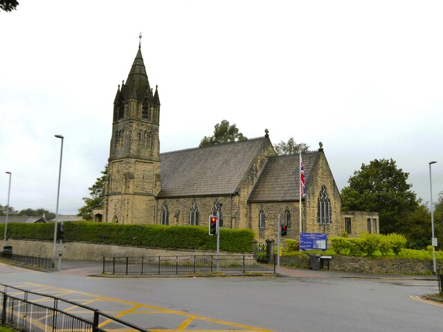
Mills Hill is a small village located in the Metropolitan Borough of Oldham in Lancashire, England. Situated approximately 4 miles northeast of Oldham town center, it falls within the larger region of Greater Manchester. The village is bordered by Chadderton to the west and Middleton to the south.
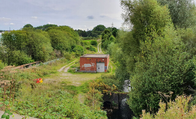
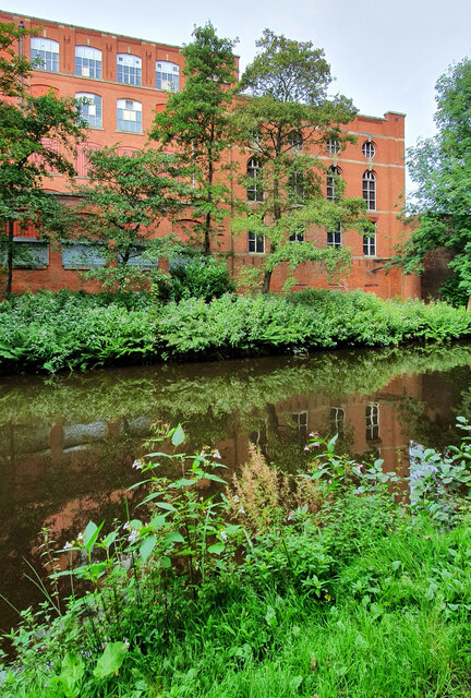
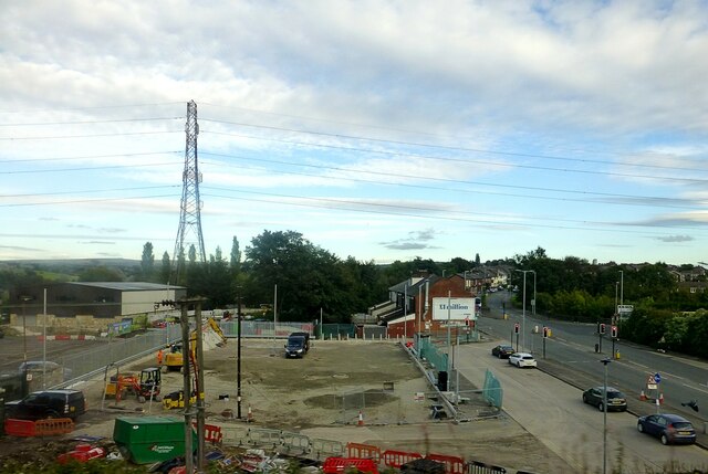
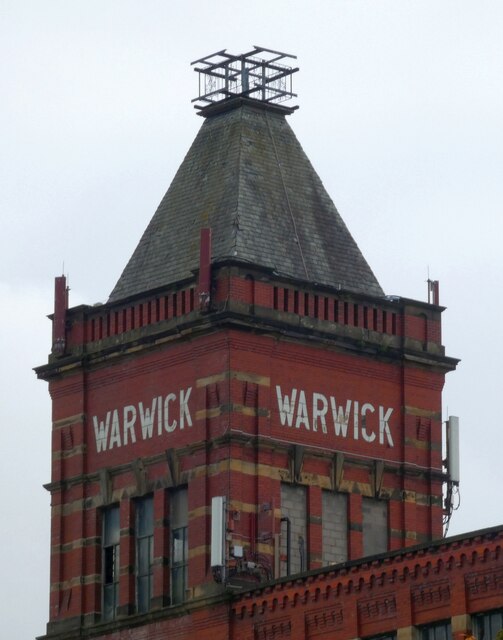
Historically, Mills Hill was a predominantly agricultural area, with farming being the primary occupation of its residents. However, with the advent of the Industrial Revolution, the village transformed into a center for textile manufacturing. Many mills were established in the area, employing a significant portion of the local population.
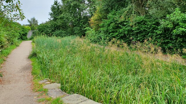
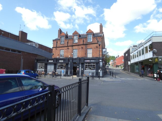
Today, Mills Hill retains much of its rural charm, with a mix of residential and industrial areas. The village is primarily residential, consisting of a range of housing types, including terraced houses, semi-detached properties, and some newer developments. The community is close-knit, with a strong sense of community spirit and several local events and activities.
Mills Hill benefits from excellent transport links, with the M60 motorway just a short drive away, providing easy access to Manchester city center and other major cities in the region. The village is also served by a railway station, providing regular services to Manchester Victoria and Rochdale.
In terms of amenities, Mills Hill has a small shopping center, featuring a few local businesses and convenience stores. There are also several schools in the area, providing education for children of all ages.
Overall, Mills Hill offers a peaceful and convenient location for those seeking a rural lifestyle with good access to nearby urban centers.
If you have any feedback on the listing, please let us know in the comments section below.
Mills Hill Images
Images are sourced within 2km of 53.550868/-2.172786 or Grid Reference SD8906. Thanks to Geograph Open Source API. All images are credited.


Mills Hill is located at Grid Ref: SD8906 (Lat: 53.550868, Lng: -2.172786)
Unitary Authority: Oldham
Police Authority: Greater Manchester
What 3 Words
///drops.vines.apples. Near Middleton, Manchester
Nearby Locations
Related Wikis

Mills Hill railway station
Mills Hill railway station is in the Mills Hill area of Middleton in the Metropolitan Borough of Rochdale, in Greater Manchester, England. The station...

Mills Hill
Mills Hill is an industrial and residential area that lies on the common border of Middleton and Chadderton in Greater Manchester, England. It lies 1...
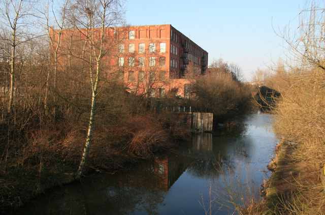
Malta Mill, Middleton
Malta Mill, Middleton is a former cotton spinning mill in the Mills Hill area of Chadderton, Greater Manchester. It lies alongside the Rochdale Canal....

Laurel Mill, Middleton Junction
Laurel Mill was a cotton spinning mill in the Mills Hill/Middleton Junction area of Chadderton, Oldham, Greater Manchester, England. It was sited alongside...
Nearby Amenities
Located within 500m of 53.550868,-2.172786Have you been to Mills Hill?
Leave your review of Mills Hill below (or comments, questions and feedback).