Acres

Settlement in Lancashire

England

Acres

Tandle Hill Country Park
Tandle Hill Country Park Credit: Peter McDermott

Acres is a small village located in the county of Lancashire, England. Situated in the borough of West Lancashire, Acres is surrounded by picturesque countryside and boasts a tranquil atmosphere. The village is nestled between the towns of Ormskirk and Skelmersdale, providing residents with easy access to various amenities and services.

Acres is primarily a residential area, characterized by its charming cottages and well-maintained gardens. The village offers a close-knit community feel, with a population of approximately 500 residents. Despite its small size, Acres has a strong community spirit, with various local events and activities organized throughout the year to bring residents together.

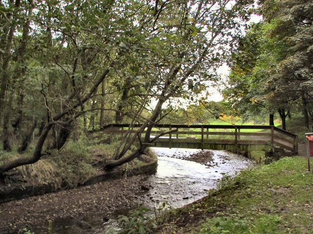
The village benefits from its proximity to the nearby towns, where residents can find a range of shops, supermarkets, and leisure facilities. Acres also benefits from its location near the expansive Beacon Country Park, providing residents with ample opportunities for outdoor activities such as hiking, cycling, and picnicking.

Transport links in Acres are convenient, with regular bus services connecting the village with neighboring towns and villages. Additionally, the M58 motorway is just a short drive away, allowing for easy access to larger cities such as Liverpool and Manchester.

In summary, Acres is a peaceful and tight-knit village in Lancashire, offering a rural lifestyle while still providing access to essential amenities and nearby towns. Its idyllic location and strong community spirit make it an attractive place to live for those seeking a quieter and more relaxed way of life.

If you have any feedback on the listing, please let us know in the comments section below.
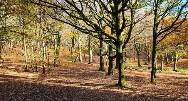
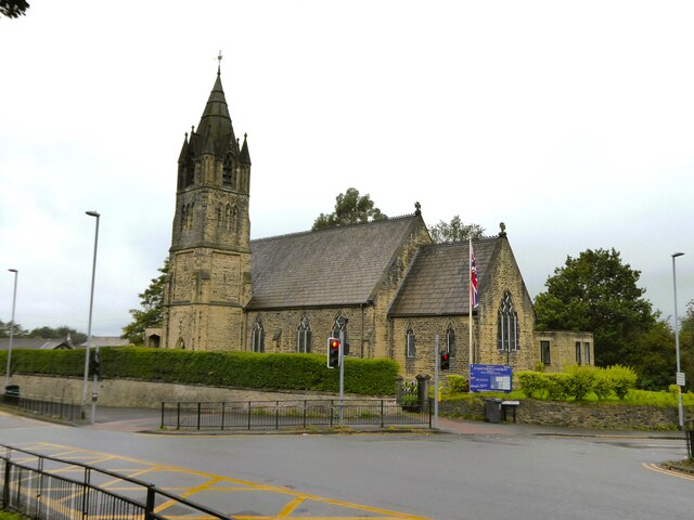
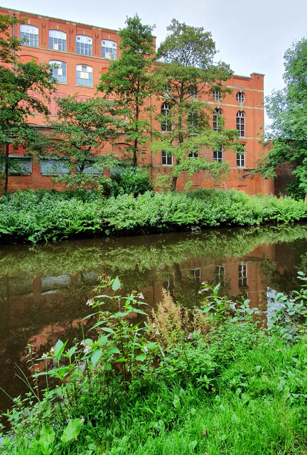
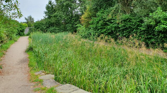
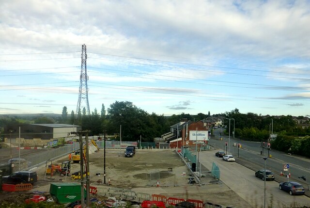
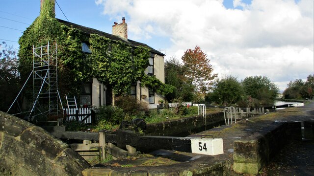
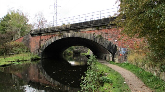
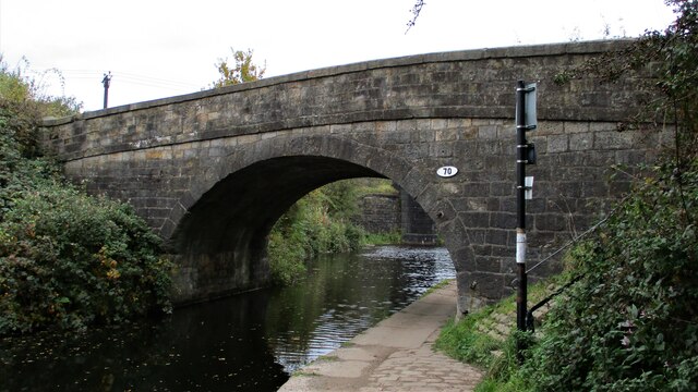
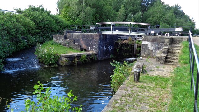
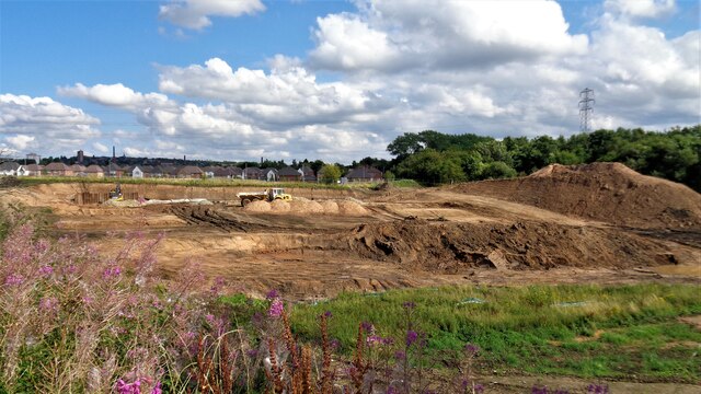
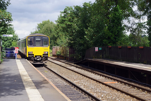
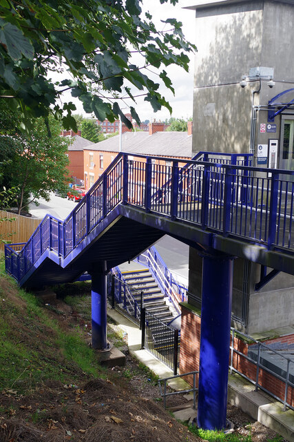
Acres Images

Images are sourced within 2km of 53.558337/-2.1657897 or Grid Reference SD8906. Thanks to Geograph Open Source API. All images are credited.

Tandle Hill Country Park
Cinder Hill Lane Approaching Head o' th' Heys on this high edged lane used by the Oldham Way trail
Cinder Hill Lane
Approaching Head o' th' Heys on this high edged lane used by the Oldham Way trail
Church of St Matthew
Malta Mill Old cotton mill alongside the Rochdale Canal.
Malta Mill
Old cotton mill alongside the Rochdale Canal.
Disused Canal Branch Branch off the Rochdale Canal leading to Ferney Field Colliery.
Disused Canal Branch
Branch off the Rochdale Canal leading to Ferney Field Colliery.
Locks on the Rochdale Canal Limefield farmhouse seen on the left of view
Locks on the Rochdale Canal
Limefield farmhouse seen on the left of view
Middleton Road View from railway bridge at Mills Hill Station
Middleton Road
View from railway bridge at Mills Hill Station
Lock House, Slattocks By the side of Rochdale Canal Lock No.54
Lock House, Slattocks
By the side of Rochdale Canal Lock No.54
Railway Overbridge, Slattocks Crossing the Rochdale Canal, with lock No.58 beyond. The bridge carries No.68b
Railway Overbridge, Slattocks
Crossing the Rochdale Canal, with lock No.58 beyond. The bridge carries No.68b
Scowcroft Lane Bridge Over the Rochdale Canal and carrying the No.70
Scowcroft Lane Bridge
Over the Rochdale Canal and carrying the No.70
River Irk View from the towpath on the Rochdale Canal Aqueduct
River Irk
View from the towpath on the Rochdale Canal Aqueduct
Rochdale Canal Lock No.64 Kay Lane lock
Rochdale Canal Lock No.64
Kay Lane lock
Old Railway Trackbed Now a cycleway and path off Ferney Field Road
Old Railway Trackbed
Now a cycleway and path off Ferney Field Road
Major Earth Remediation Works View from the old railway trackbed to Middleton Junction
Major Earth Remediation Works
View from the old railway trackbed to Middleton Junction
Mills Hill Station A class 150 unit operated by Northern departs Mills Hill near the end of its Clitheroe to Rochdale journey. Although a station did briefly exist on this site in the 19th century, the modern facility dates only from 1985.
Mills Hill Station
A class 150 unit operated by Northern departs Mills Hill near the end of its Clitheroe to Rochdale journey. Although a station did briefly exist on this site in the 19th century, the modern facility dates only from 1985.
Steps at Mills Hill Station Mills Hill station is relatively new having opened in 1985. To site it adjacent to Oldham Road it was necessary to install a set of 27 steps on this side of the railway. Fortunately a lift is also provided.
Steps at Mills Hill Station
Mills Hill station is relatively new having opened in 1985. To site it adjacent to Oldham Road it was necessary to install a set of 27 steps on this side of the railway. Fortunately a lift is also provided.
Under Mills Hill Railway Bridge The railway bridge carries the Manchester to Rochdale railway across the A669. It was built in 1934, replacing an earlier bridge, allowing double deck trams and buses to pass underneath. Mills Hill station is located immediately to the south of the bridge. The boundary between the boroughs of Oldham and Rochdale is located here - the community of Mills Hill straddling both sides.
Under Mills Hill Railway Bridge
The railway bridge carries the Manchester to Rochdale railway across the A669. It was built in 1934, replacing an earlier bridge, allowing double deck trams and buses to pass underneath. Mills Hill station is located immediately to the south of the bridge. The boundary between the boroughs of Oldham and Rochdale is located here - the community of Mills Hill straddling both sides.
Mills Hill Bridge Mills Hill Bridge carries the Manchester to Rochdale railway over the A669 between Chadderton and Middleton. Mills Hill station is to the left accessed by a long flight of steps. The large billboard advertises 'See how they run' a whodunnit comedy spoof 'in cinemas September 9'.
Mills Hill Bridge
Mills Hill Bridge carries the Manchester to Rochdale railway over the A669 between Chadderton and Middleton. Mills Hill station is to the left accessed by a long flight of steps. The large billboard advertises 'See how they run' a whodunnit comedy spoof 'in cinemas September 9'.
Show me another place!

Acres is located at Grid Ref: SD8906 (Lat: 53.558337, Lng: -2.1657897)

Unitary Authority: Oldham

Police Authority: Greater Manchester

What 3 Words

///stuff.crowds.party. Near Middleton, Manchester

Related Wikis

Chadderton Hall Park

Chadderton Hall Park is a park in Chadderton, in the Metropolitan Borough of Oldham, Greater Manchester, England. Its roots stretch back to the 13th century...

Healds Green

Healds Green is a hamlet in the Metropolitan Borough of Oldham, Greater Manchester, England. It is in Chadderton's semi rural northern area, just to the...

Mills Hill

Mills Hill is an industrial and residential area that lies on the common border of Middleton and Chadderton in Greater Manchester, England. It lies 1...

North Chadderton School

North Chadderton School is a mixed gender secondary school and sixth form, located in Chadderton, in the Metropolitan Borough of Oldham, Greater Manchester...

Related Videos

Walking The Dog VLOG / SJCAM C300 #1 M24 Local Graffiti Tour With My English Springer Spaniel

sjcamc300 #flexigiant #graffiti Hi - Ive got a new action camera & i have to correct myself its a SJCAM C300 not a SJCAM SJ300 ...

Walking The Dog VLOG / SJCAM C300 #2 Boarshaw Clough With My English Springer Spaniel

sjcamc300 #flexigiant #walkingthedog Hi - Ive got a new action camera & i have to correct myself its a SJCAM C300 not a SJCAM ...

An EPIC WALKING TOUR FROM Mills Hill to Middleton Junction via everywhere in between

Join Owdham Vaults on an epic walking tour completely unplanned from Mills Hill to Middleton Junction (Greengate Brewery) via ...

English Springer Spaniel Dog Walking Adventures / Finding New Paths & Exploring Hopwood Woods Walk

djiaction2 #hopwoodwoods Hi... I made this video on Tuesday 17th May 2022 but I never uploaded it to this channel as I had ...

Nearby Amenities

Located within 500m of 53.558337,-2.1657897
Chadderton Fold
Is In: Chadderton, Oldham, Greater Manchester, England, UK
Place: suburb
Source: npe
Lat/Long: 53.5570138/-2.1600971
Waterway: lock_gate
Lat/Long: 53.5550064/-2.1700388
Source: Bing
Waterway: lock_gate
Lat/Long: 53.5561354/-2.172279
Waterway: lock_gate
Lat/Long: 53.5546593/-2.1664697
Waterway: lock_gate
Lat/Long: 53.5548963/-2.1697111
Source: Bing
Waterway: lock_gate
Lat/Long: 53.5559807/-2.1720095
Power: tower
Lat/Long: 53.557753/-2.1722177
Power: tower
Lat/Long: 53.5557307/-2.1709747
Power: tower
Lat/Long: 53.5581107/-2.1598466
Seamark Type: gate
Waterway: lock_gate
Lat/Long: 53.554718/-2.1661128
Leisure: picnic_table
Lat/Long: 53.5546303/-2.1653111
The data included in this document is from www.openstreetmap.org. The data is made available under ODbL.

Have you been to Acres?

Leave your review of Acres below (or comments, questions and feedback).