Acresford
Settlement in Leicestershire North West Leicestershire
England
Acresford
Acresford is a small village located in the county of Leicestershire, England. Situated approximately 7 miles northwest of the town of Ashby-de-la-Zouch, it falls within the district of North West Leicestershire.
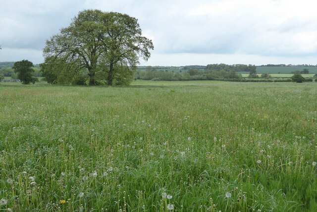
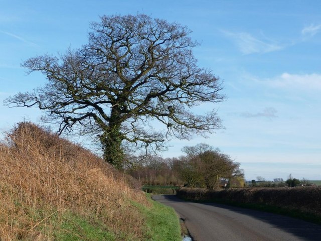
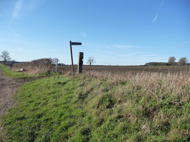
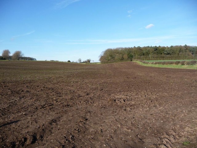
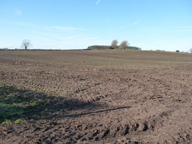
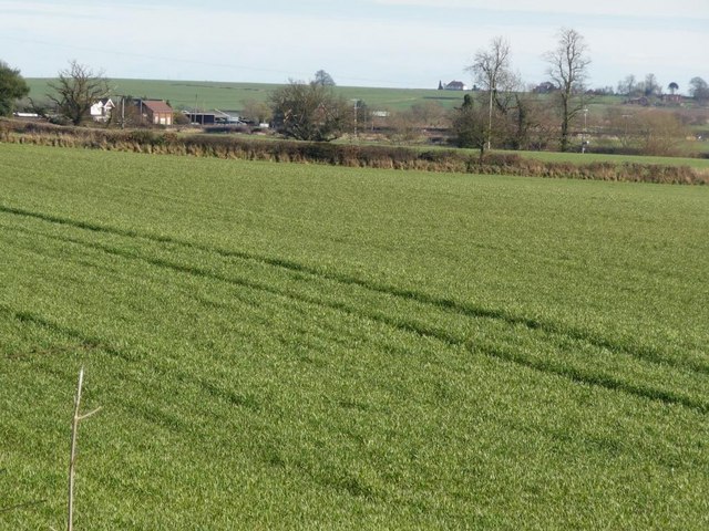
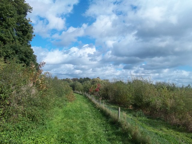
With a population of around 500 residents, Acresford is a close-knit community that enjoys a peaceful and rural setting. The village is surrounded by picturesque countryside, comprising rolling hills, meadows, and farmland. It offers a tranquil and idyllic atmosphere for both residents and visitors alike.
Historically, Acresford was known for its coal mining industry, which played a significant role in the village's development during the 19th and early 20th centuries. However, the decline of the coal industry led to its eventual closure in the mid-20th century. Today, Acresford serves primarily as a residential area, with many of its residents commuting to nearby towns and cities for work.
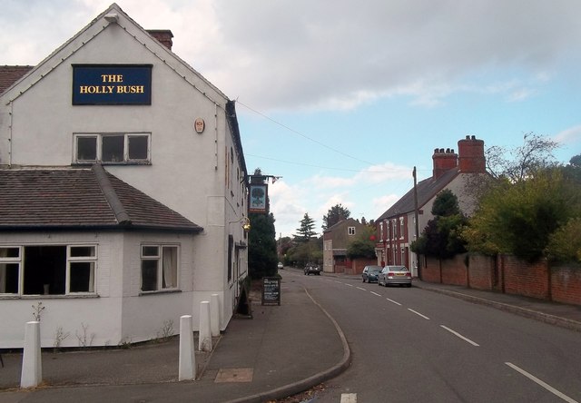
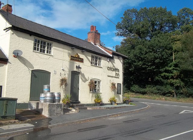
Despite its small size, Acresford has a strong sense of community spirit. The village features a local pub, providing a focal point for social gatherings and events. Additionally, there are several community organizations and clubs that offer recreational activities and opportunities for residents to engage with one another.
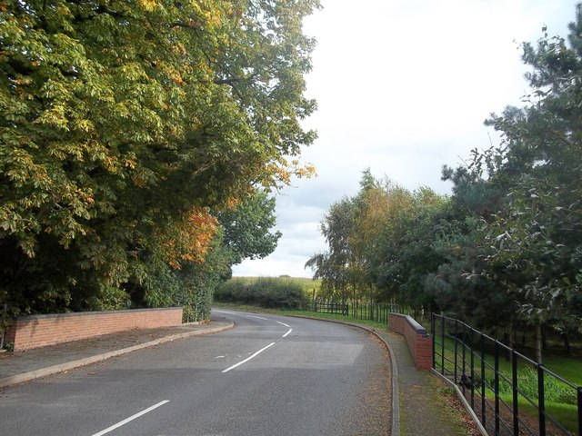
Acresford is well-connected to neighboring towns and cities by road, with nearby A roads providing easy access to Ashby-de-la-Zouch, Burton upon Trent, and other surrounding areas. The village is also within a reasonable distance of major motorway networks, including the M1 and M42, facilitating travel to larger cities such as Leicester, Birmingham, and Nottingham.
In summary, Acresford is a charming and peaceful village in Leicestershire, offering a close-knit community, beautiful countryside surroundings, and convenient access to nearby towns and cities.
If you have any feedback on the listing, please let us know in the comments section below.
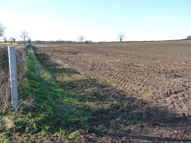
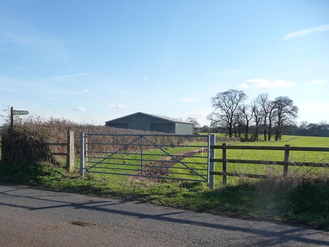
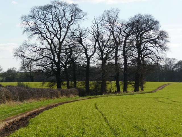
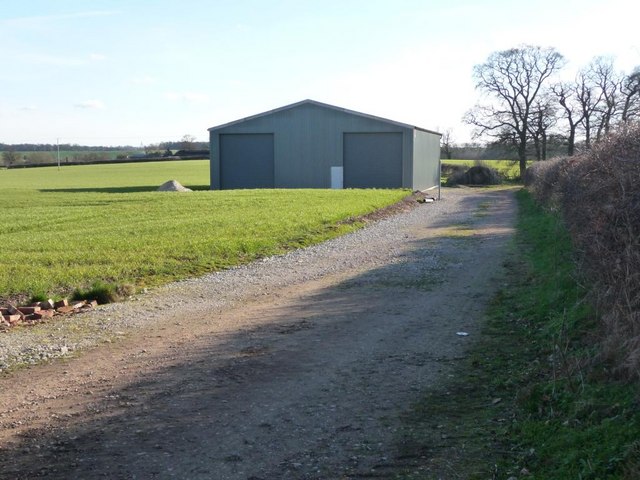
Acresford Images
Images are sourced within 2km of 52.715086/-1.5583346 or Grid Reference SK2913. Thanks to Geograph Open Source API. All images are credited.
Acresford is located at Grid Ref: SK2913 (Lat: 52.715086, Lng: -1.5583346)
Administrative County: Leicestershire
District: North West Leicestershire
Police Authority: Leicestershire
What 3 Words
///grief.impresses.tribes. Near Donisthorpe, Leicestershire
Nearby Locations
Related Wikis

Acresford
Acresford is a hamlet in North West Leicestershire, it shares civil parish authorities with Donisthorpe and Oakthorpe and forms part of the border with...
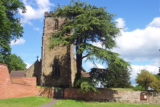
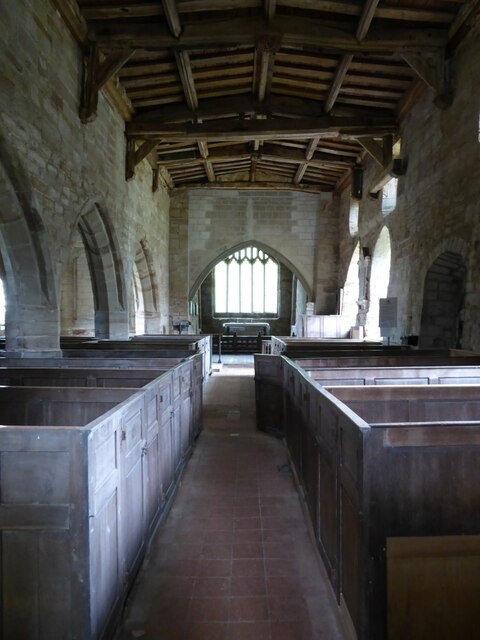
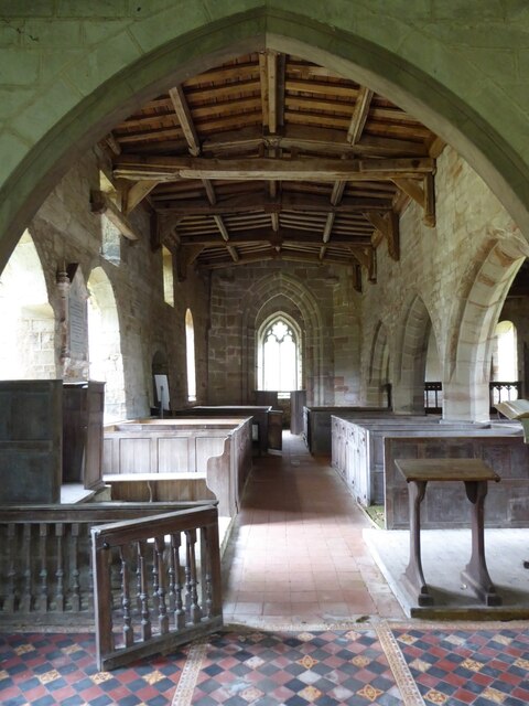
St Peter's Church, Netherseal
St Peter's Church, Netherseal is a Grade II* listed parish church in the Church of England in Netherseal, Derbyshire. == History == The church dates from...
Netherseal
Netherseal (or 'Netherseale') is a village and civil parish in the English county of Derbyshire, situated in the South Derbyshire district. Together with...

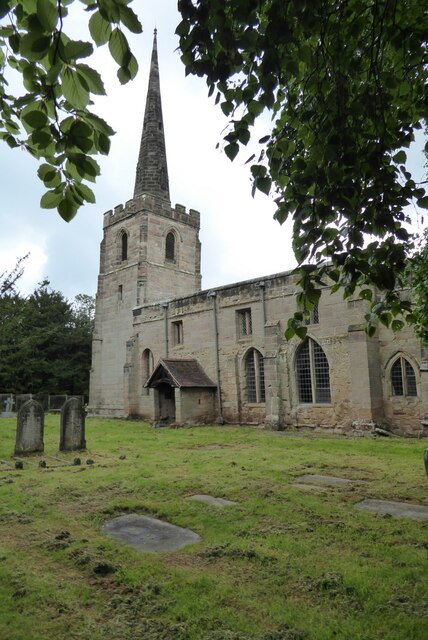
St Michael's Church, Stretton en le Field
St Michael's Church is a redundant Anglican church in the village of Stretton en le Field, Leicestershire, England (grid reference SK303119). It is recorded...
Stretton en le Field
Stretton en le Field is a small village and civil parish in the North West Leicestershire district of Leicestershire, England, about 7 miles/11 km south...

Short Heath, Derbyshire
Short Heath is a hamlet near Overseal, in South Derbyshire. It is on the border with Leicestershire and has a sign where it claims to be the centre of...

Donisthorpe
Donisthorpe is a village in the North West Leicestershire district of Leicestershire, England, historically an exclave of Derbyshire. == History == In...

Donisthorpe railway station
Donisthorpe railway station is a disused railway station that formerly served the village of Donisthorpe, North West Leicestershire, from 1874 to 1931...
Nearby Amenities
Located within 500m of 52.715086,-1.5583346Have you been to Acresford?
Leave your review of Acresford below (or comments, questions and feedback).