Jenny's Wood
Wood, Forest in Leicestershire South Derbyshire
England
Jenny's Wood
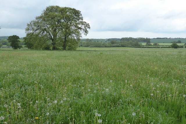
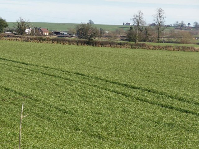
Jenny's Wood is a picturesque woodland located in the county of Leicestershire, England. Spanning over an area of approximately 50 acres, this natural gem offers a serene and tranquil environment for nature enthusiasts and outdoor lovers.
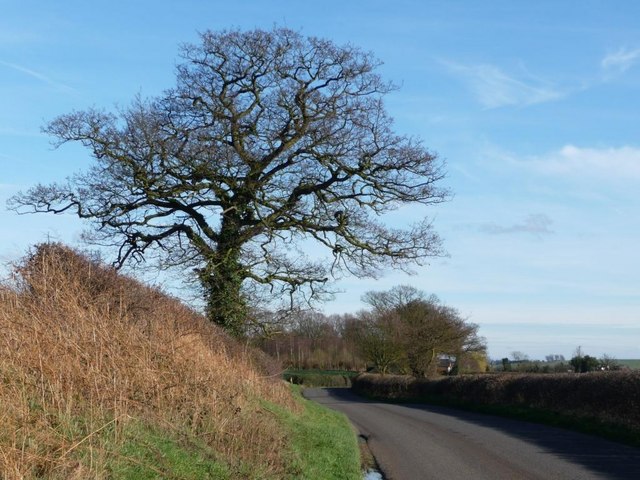
The wood is characterized by its dense canopy of trees, predominantly consisting of native species such as oak, beech, and birch. These towering giants provide ample shade during the summer months and create a vibrant display of colors during autumn.
Jenny's Wood is home to a diverse range of wildlife, making it a haven for animal lovers and birdwatchers. Visitors can spot various bird species, including woodpeckers, owls, and jays, as well as mammals like deer, foxes, and squirrels. The wood's rich biodiversity is also showcased through its flora, with wildflowers and ferns adding to its natural beauty.
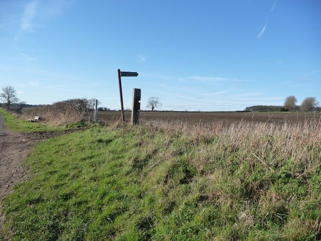
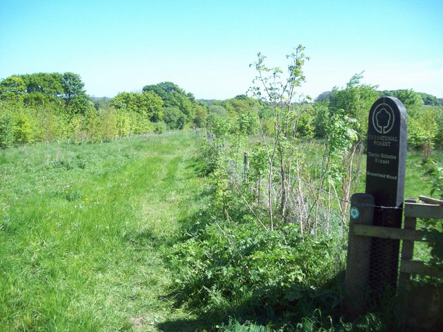
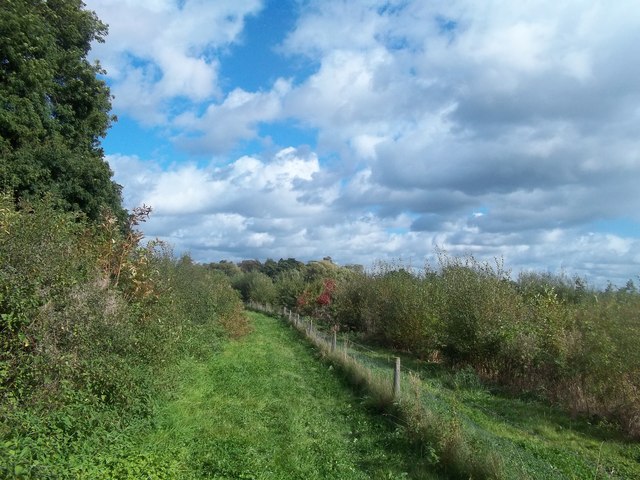
A network of well-maintained walking trails meander through the wood, offering visitors the opportunity to explore its hidden nooks and crannies. These paths are suitable for all levels of fitness, making Jenny's Wood an ideal destination for families, couples, and solo adventurers alike.
In addition to its natural offerings, Jenny's Wood provides a range of amenities to enhance visitors' experiences. These include picnic areas, benches, and information boards, ensuring that visitors can relax and learn more about the wood's history and ecology.
Jenny's Wood, with its idyllic setting and abundant wildlife, is a true treasure in Leicestershire, attracting nature enthusiasts from far and wide who seek solace in its beauty and tranquility.
If you have any feedback on the listing, please let us know in the comments section below.
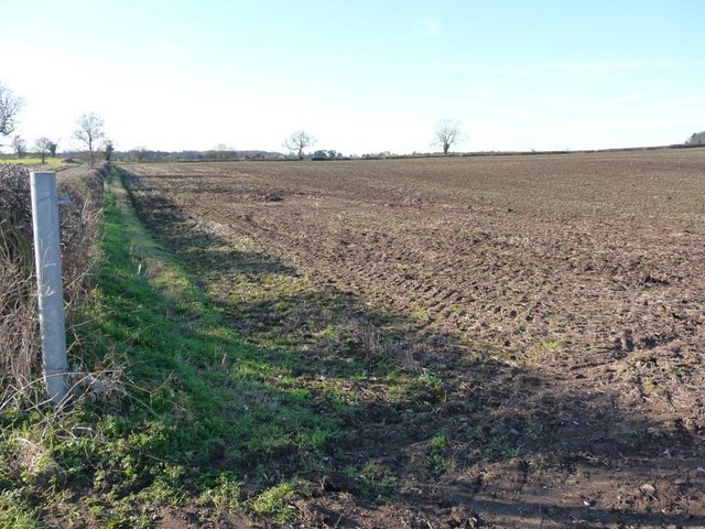
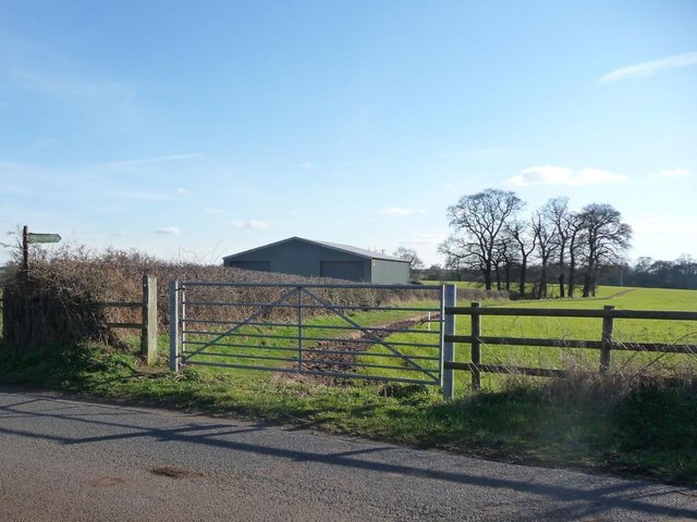
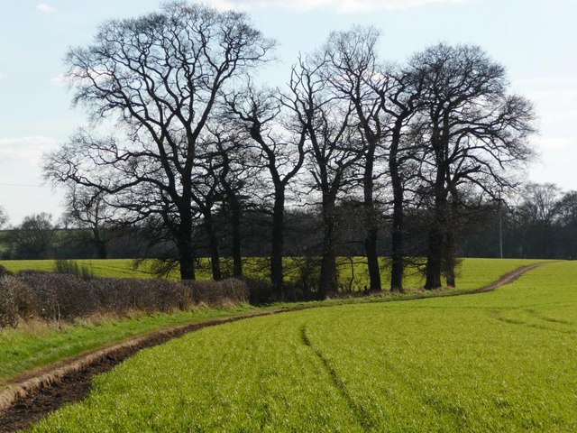
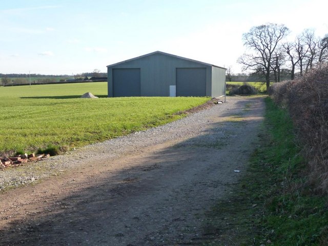
Jenny's Wood Images
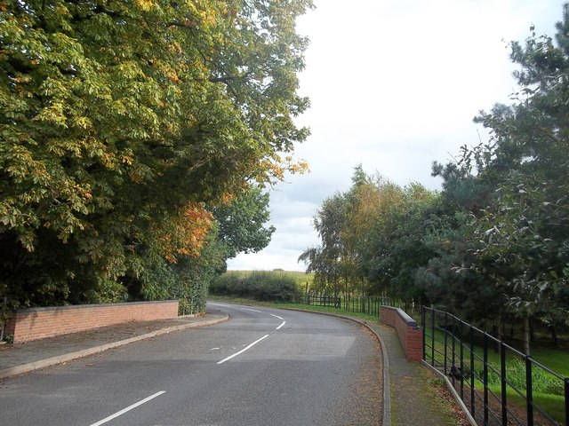
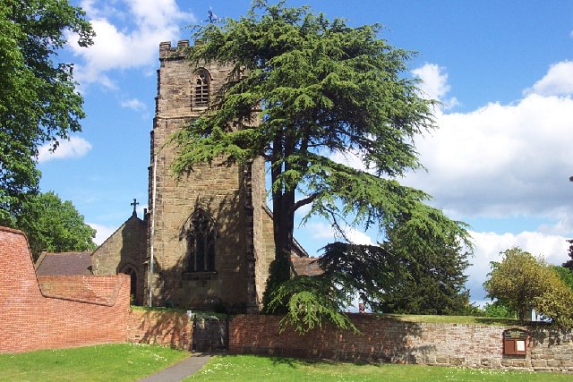
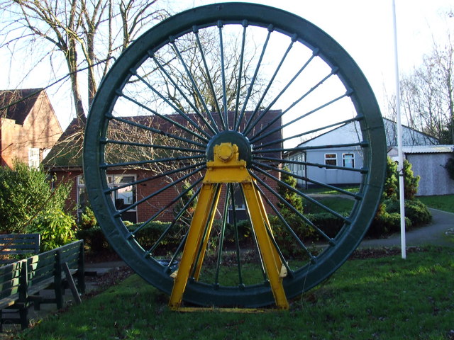
Images are sourced within 2km of 52.720073/-1.5647837 or Grid Reference SK2913. Thanks to Geograph Open Source API. All images are credited.

Jenny's Wood is located at Grid Ref: SK2913 (Lat: 52.720073, Lng: -1.5647837)
Administrative County: Derbyshire
District: South Derbyshire
Police Authority: Derbyshire
What 3 Words
///yell.tanks.organist. Near Donisthorpe, Leicestershire
Nearby Locations
Related Wikis

Acresford
Acresford is a hamlet in North West Leicestershire, it shares civil parish authorities with Donisthorpe and Oakthorpe and forms part of the border with...
Netherseal
Netherseal (or 'Netherseale') is a village and civil parish in the English county of Derbyshire, situated in the South Derbyshire district. Together with...
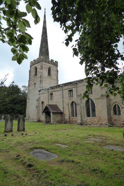
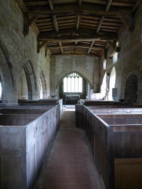
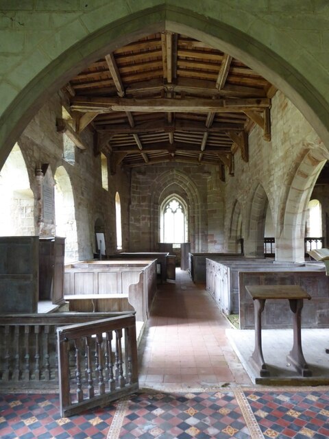
St Peter's Church, Netherseal
St Peter's Church, Netherseal is a Grade II* listed parish church in the Church of England in Netherseal, Derbyshire. == History == The church dates from...

Short Heath, Derbyshire
Short Heath is a hamlet near Overseal, in South Derbyshire. It is on the border with Leicestershire and has a sign where it claims to be the centre of...
Overseal
Overseal is a village and civil parish in South Derbyshire district of Derbyshire, England. It is 3 miles (4.8 km) south of Swadlincote, 5 miles (8.0 km...

Donisthorpe
Donisthorpe is a village in the North West Leicestershire district of Leicestershire, England, historically an exclave of Derbyshire. == History == In...

St Michael's Church, Stretton en le Field
St Michael's Church is a redundant Anglican church in the village of Stretton en le Field, Leicestershire, England (grid reference SK303119). It is recorded...

Ashby Woulds Heritage Trail
The Ashby Woulds Heritage Trail is a footpath and cycleway along what was formerly the Ashby and Nuneaton railway line between Spring Cottage and Measham...
Nearby Amenities
Located within 500m of 52.720073,-1.5647837Have you been to Jenny's Wood?
Leave your review of Jenny's Wood below (or comments, questions and feedback).