Little Copse

Wood, Forest in Wiltshire

England

Little Copse

Grassland, Chute The eastern flank of Shaw Bottom.
Grassland, Chute Credit: Andrew Smith

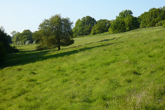
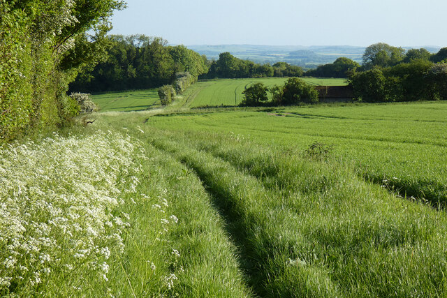
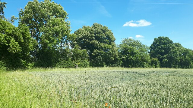
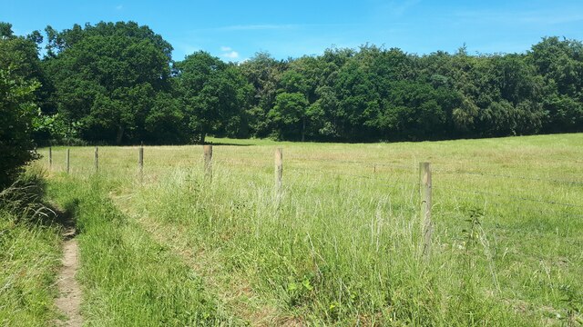
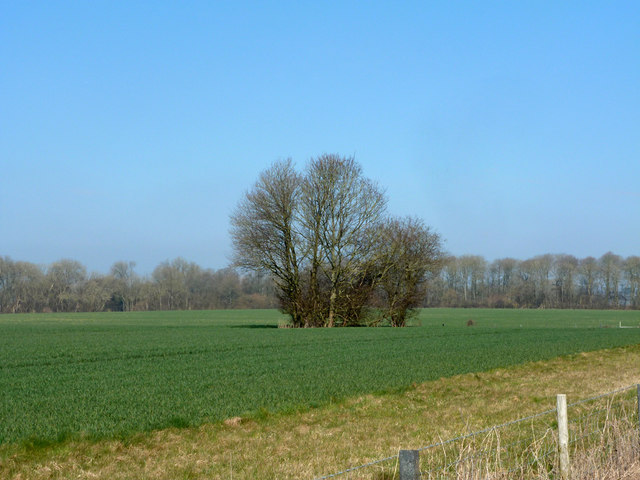
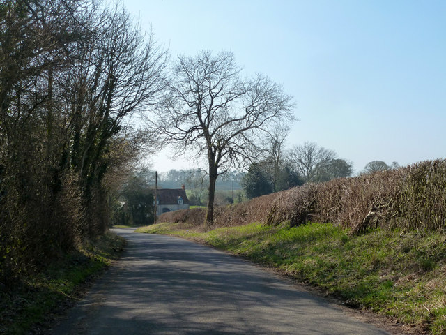
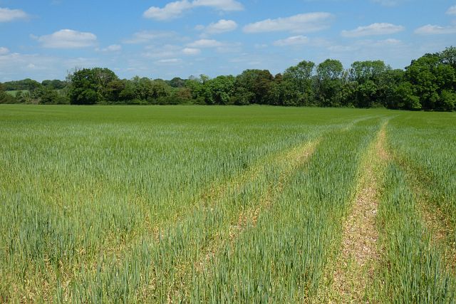
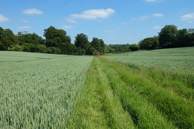
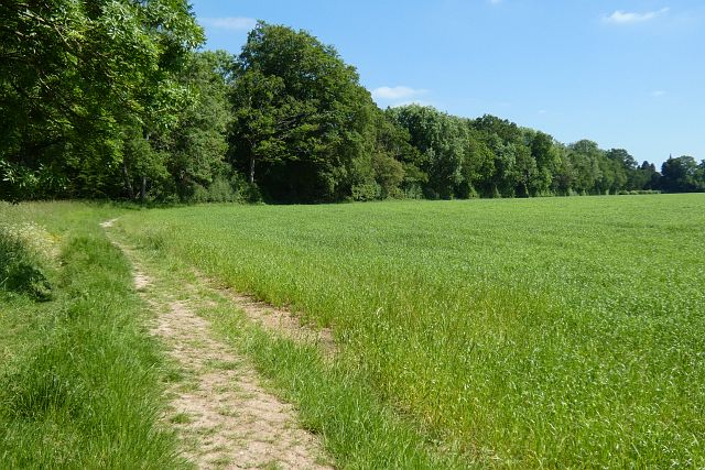
Little Copse is a small woodland area located in the county of Wiltshire, England. Situated on the outskirts of a rural village, this forest is a hidden gem for nature enthusiasts and outdoor lovers. The copse covers an area of approximately 20 acres and is characterized by dense vegetation and a diverse range of tree species.

The woodland is predominantly composed of native trees such as oak, beech, and ash, which create a lush and vibrant canopy during the summer months. The forest floor is covered in a thick layer of moss, ferns, and wildflowers, adding to the enchanting atmosphere of the copse.

Little Copse is home to a variety of wildlife, making it an ideal spot for birdwatching and animal spotting. Common bird species found in the area include the Eurasian jay, great spotted woodpecker, and various songbirds. Mammals such as foxes, badgers, and rabbits can also be seen roaming the forest, particularly during the early morning or late evening.

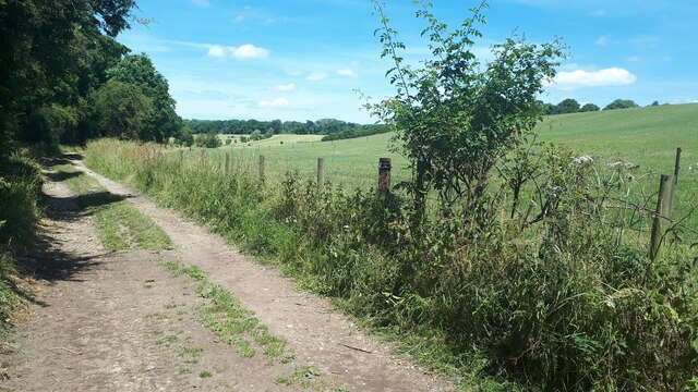
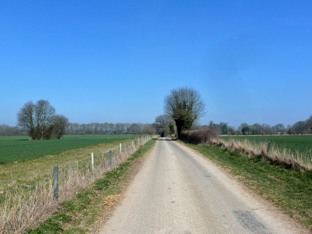
The woodland offers several walking trails, allowing visitors to explore its beauty at their own pace. These paths wind through the trees, offering stunning views of the surrounding countryside. Additionally, there are a few picnic spots scattered throughout the copse, providing the perfect opportunity to relax and enjoy the peaceful ambiance.

Little Copse is a cherished natural area in Wiltshire, offering a tranquil escape from the hustle and bustle of everyday life. Its picturesque landscape, diverse wildlife, and serene atmosphere make it a must-visit destination for those seeking a connection with nature.

If you have any feedback on the listing, please let us know in the comments section below.
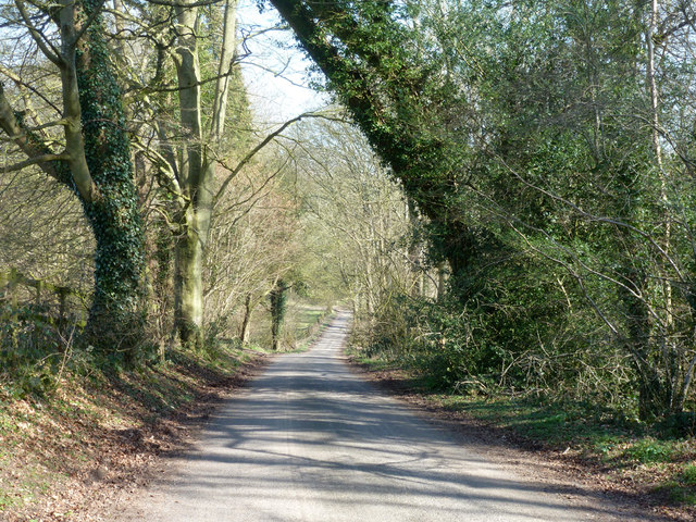
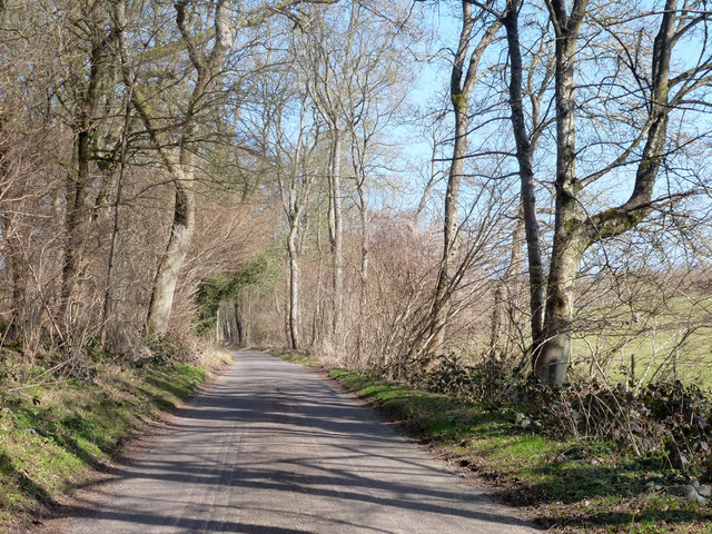
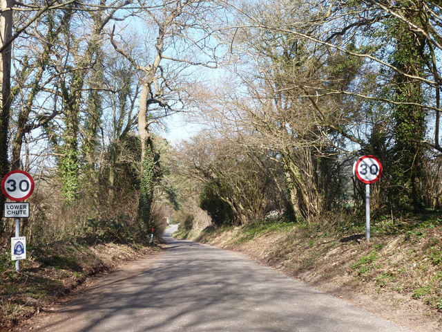
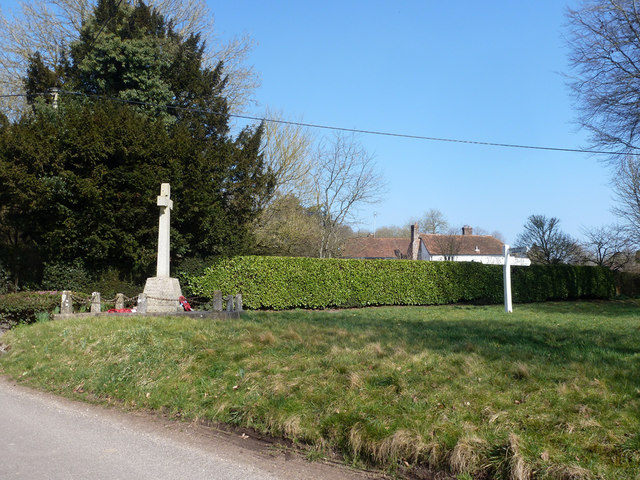
Little Copse Images

Images are sourced within 2km of 51.272754/-1.5785299 or Grid Reference SU2952. Thanks to Geograph Open Source API. All images are credited.

Grassland, Chute The eastern flank of Shaw Bottom.
Grassland, Chute
The eastern flank of Shaw Bottom.
Farmland, Chute With the bridleway heading south from Chantry.
Farmland, Chute
With the bridleway heading south from Chantry.
Bulls Drove
Bulls Drove
Field on the edge of Coldrigdedown Copse
Line of trees leading to Stert Copse A thin line of trees dividing the fields and providing a corridor between two copses.
Line of trees leading to Stert Copse
A thin line of trees dividing the fields and providing a corridor between two copses.
Edge of Fairoak Copse Taken just as the footpath emerges from the woodland and continues southwards along the edge of the field.
Edge of Fairoak Copse
Taken just as the footpath emerges from the woodland and continues southwards along the edge of the field.
Grass and woodland at Coldridge Bottom
Lodge Lane Towards Chute Forest.
Lodge Lane
Towards Chute Forest.
Tree clump west of Lodge Lane One of three in the field.
Tree clump west of Lodge Lane
One of three in the field.
Entering Chute Forest on Lodge Lane
Lodge Lane, Chute Forest
Lodge Lane Heading away from Chute Forest towards the other Chutes.
Lodge Lane
Heading away from Chute Forest towards the other Chutes.
Entering Lower Chute On the road from Tangley and Clanville.
Entering Lower Chute
On the road from Tangley and Clanville.
War memorial, Lower Chute On the corner of a rather small green.
War memorial, Lower Chute
On the corner of a rather small green.
Road towards Biddesden From Lower Chute.
Road towards Biddesden
From Lower Chute.
Farmland, Chute Spring barley to the east of Dummer Lane.
Farmland, Chute
Spring barley to the east of Dummer Lane.
Farmland, Chute A footpath between fields of wheat as directed by signs at its eastern end, though not one that's mapped. I assume it's a slight, but apparently unofficial, diversion to the right of way somewhat to the north.
Farmland, Chute
A footpath between fields of wheat as directed by signs at its eastern end, though not one that's mapped. I assume it's a slight, but apparently unofficial, diversion to the right of way somewhat to the north.
Farmland, Chute Forest A footpath beside spring barley approaches the edge of Great Lodge Copse on its way to the former church.
Farmland, Chute Forest
A footpath beside spring barley approaches the edge of Great Lodge Copse on its way to the former church.
Show me another place!

Little Copse is located at Grid Ref: SU2952 (Lat: 51.272754, Lng: -1.5785299)

Unitary Authority: Wiltshire

Police Authority: Wiltshire

What 3 Words

///doghouse.pounce.extremes. Near Ludgershall, Wiltshire

Related Wikis

Chute, Wiltshire

Chute is a civil parish in east Wiltshire, England, on the border with Hampshire. It includes the main village of Upper Chute and the smaller settlements...

St Mary's Church, Chute Forest

St Mary's Church in Chute Forest, Wiltshire, England, was built between 1870 and 1871 and consecrated in 1875. It is recorded in the National Heritage...

Biddesden House

Biddesden House (or Biddesden Park) is a Grade I listed English country house in east Wiltshire, about 5 miles (8 km) north-west of Andover, Hampshire...
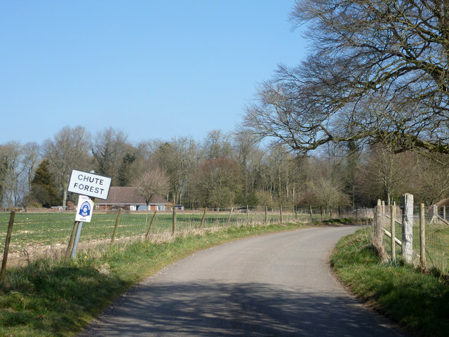
Chute Forest

Chute Forest is a village and civil parish in east Wiltshire, England. The parish is bordered to the east and south by the county of Hampshire. The village...

Nearby Amenities

Located within 500m of 51.272754,-1.5785299
Power: tower
Lat/Long: 51.276671/-1.5813004
Power: tower
Lat/Long: 51.2763595/-1.5783833
Power: tower
Lat/Long: 51.2759413/-1.5747076
Oak Pollard
Place: locality
Lat/Long: 51.2697216/-1.5829974
Honey Bottom
Place: locality
Lat/Long: 51.2732306/-1.584368
Ladies Lawn
Place: locality
Lat/Long: 51.2712357/-1.5779909
The data included in this document is from www.openstreetmap.org. The data is made available under ODbL.

Have you been to Little Copse?

Leave your review of Little Copse below (or comments, questions and feedback).