Daddley's Wood
Wood, Forest in Warwickshire
England
Daddley's Wood

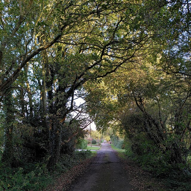
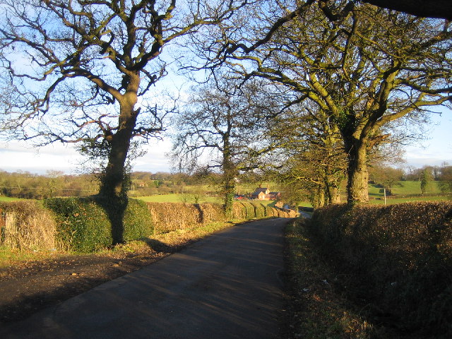
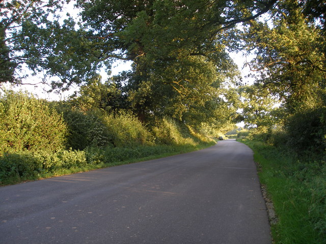
Daddley's Wood is a picturesque woodland located in Warwickshire, England. Situated near the town of Stratford-upon-Avon, it covers an area of approximately 50 acres and is a popular destination for nature enthusiasts and hikers alike.
The wood is predominantly made up of native broadleaf trees, including oak, beech, and birch, creating a diverse and vibrant canopy. The lush undergrowth is home to a variety of flora and fauna, providing a haven for local wildlife such as deer, squirrels, and numerous bird species.
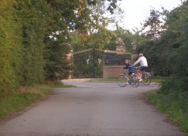
Daddley's Wood boasts well-maintained trails that meander through the enchanting forest, making it an ideal spot for leisurely walks and exploring its natural beauty. The paths are suitable for all levels of fitness and are easily accessible, ensuring visitors can immerse themselves in the tranquility of the surroundings.
The wood's idyllic setting also makes it a popular spot for picnics and family outings. With ample space and designated picnic areas, visitors can relax and enjoy the peaceful atmosphere while surrounded by nature's splendor.
Additionally, Daddley's Wood offers educational opportunities for those interested in learning about the local ecosystem. Interpretive signs along the trails provide information about the various tree species and their importance to the environment, enhancing visitors' understanding of the woodland's ecology.
Overall, Daddley's Wood is a charming and well-preserved woodland in Warwickshire, offering a respite from the hustle and bustle of everyday life. Whether it's for a leisurely stroll, a family picnic, or a chance to reconnect with nature, this enchanting forest provides a delightful experience for all who visit.
If you have any feedback on the listing, please let us know in the comments section below.
Daddley's Wood Images
Images are sourced within 2km of 52.455438/-1.5673074 or Grid Reference SP2984. Thanks to Geograph Open Source API. All images are credited.


Daddley's Wood is located at Grid Ref: SP2984 (Lat: 52.455438, Lng: -1.5673074)
Unitary Authority: Coventry
Police Authority: West Midlands
What 3 Words
///rewarding.drag.trial. Near Keresley, West Midlands
Nearby Locations
Related Wikis

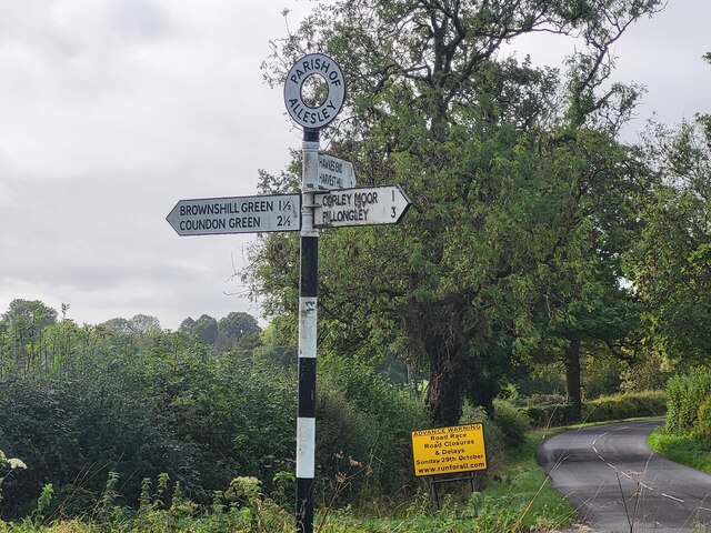
Corley
Corley (and the associated hamlets of Corley Ash and Corley Moor) is a village and civil parish in the North Warwickshire district of Warwickshire, England...

Brownshill Green
Brownshill Green is a suburban hamlet 3.5 miles northwest of Coventry by road, adjacent to the suburbs of Allesley, Coundon and Keresley. It is bordered...
Keresley End
Keresley End is a village in the Nuneaton & Bedworth District of Warwickshire, England, also known as Keresley Village or Keresley Newlands. Population...
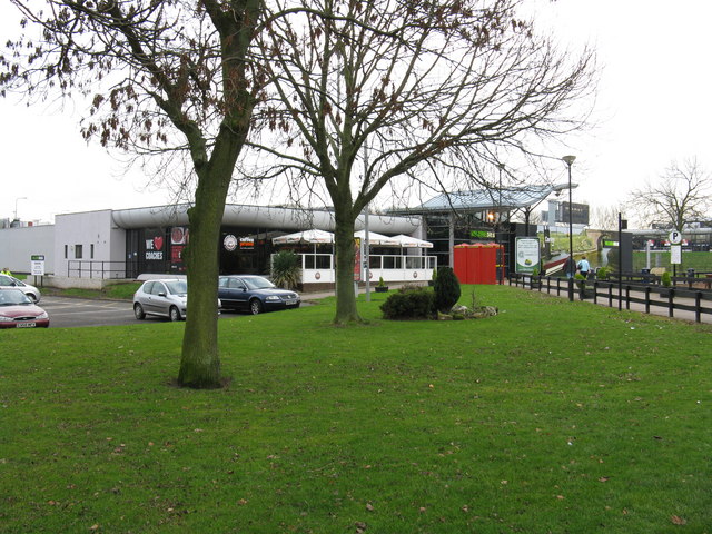
Corley services
Corley services is a motorway service station between junctions 3 and 3A of the M6 motorway in the county of Warwickshire, England. It is close to the...

Cardinal Newman Catholic School and Community College
Cardinal Newman Catholic School is a coeducational Roman Catholic secondary school and sixth form located in the Keresley area of Coventry, West Midlands...
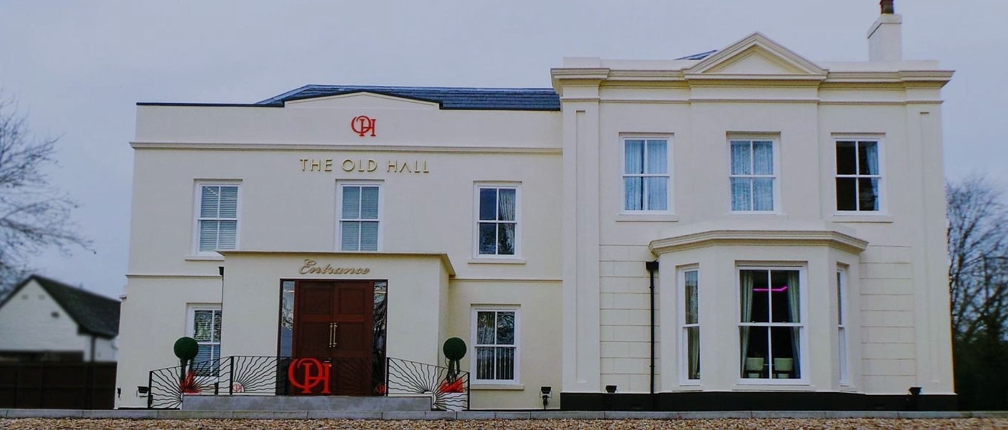
The Old Hall Hotel, Coventry
The Old Hall Hotel in Coundon near Coventry, England, is a building of historical significance and is Grade II listed on the English Heritage Register...

Browns Lane plant
The Browns Lane plant in Coventry, England was built as a Second World War shadow factory run by the Daimler Company. In 1951 it was leased by Jaguar Cars...
Coventry Colliery
Coventry Colliery was a coal mine located in the village of Keresley End in northern Warwickshire, between Bedworth and Coventry, England. Closed in 1991...
Nearby Amenities
Located within 500m of 52.455438,-1.5673074Have you been to Daddley's Wood?
Leave your review of Daddley's Wood below (or comments, questions and feedback).