Ladies Lawn
Downs, Moorland in Wiltshire
England
Ladies Lawn
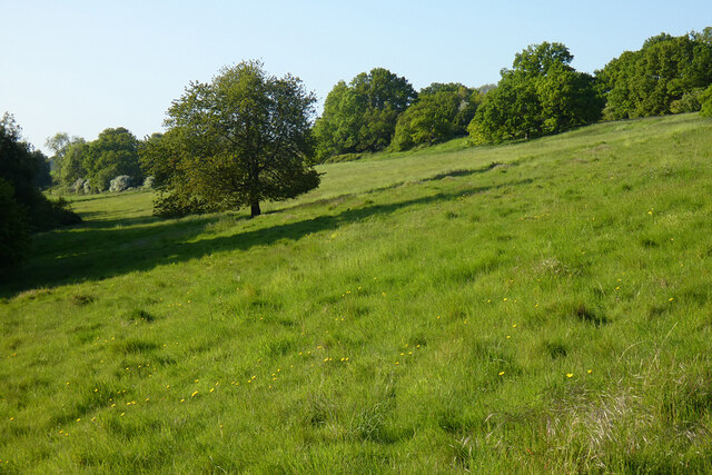
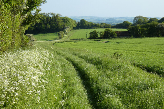
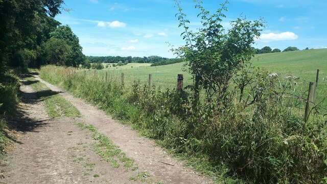
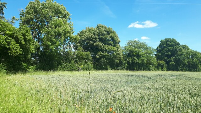
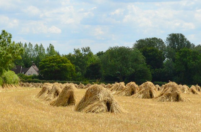
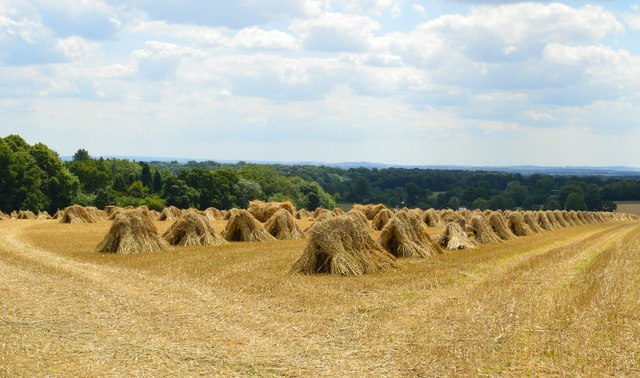
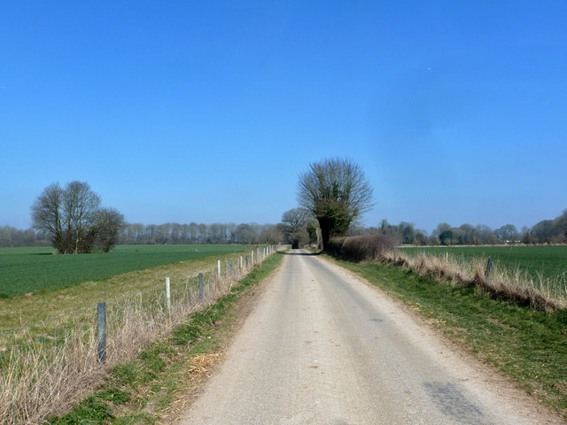
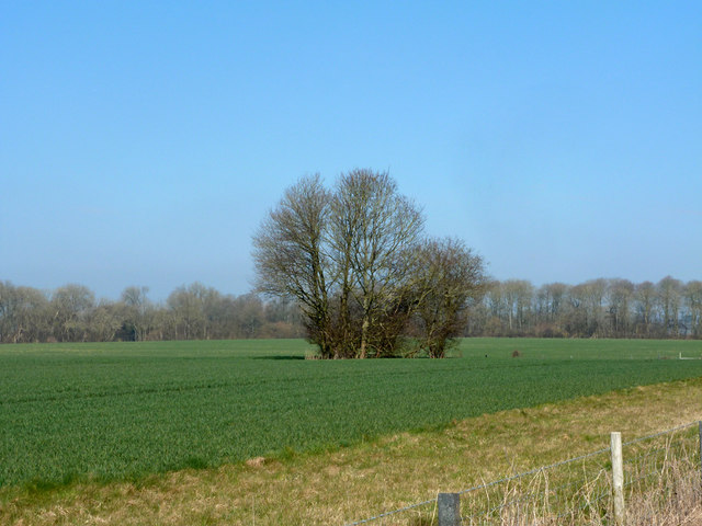
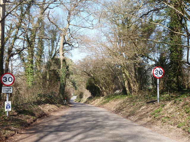
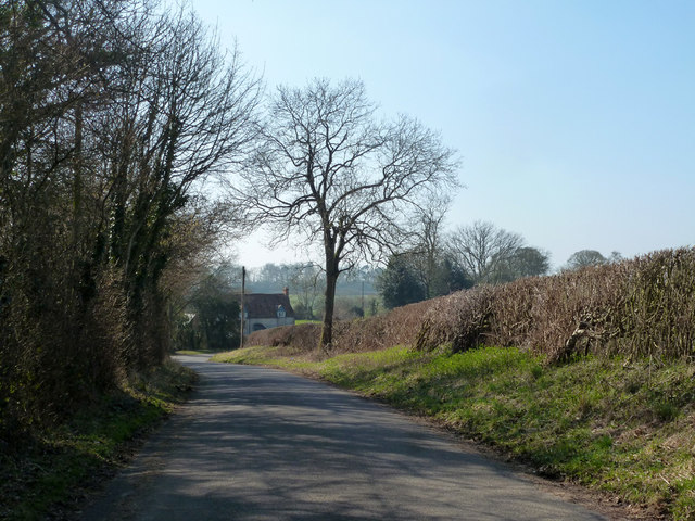
Ladies Lawn is a picturesque area located in Wiltshire, England. It is known for its stunning landscapes and natural beauty, encompassing both downs and moorland. The area is a popular destination for nature lovers and outdoor enthusiasts, offering a wide range of activities and opportunities to explore the great outdoors.
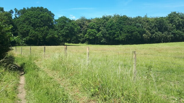
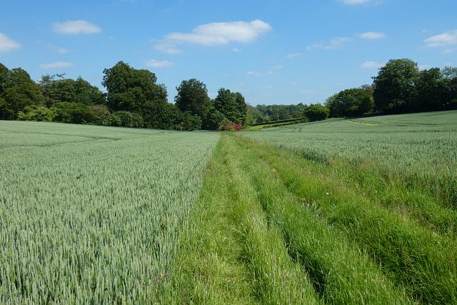
The downs in Ladies Lawn provide visitors with breathtaking panoramic views of the surrounding countryside. Rolling hills and lush green meadows stretch as far as the eye can see, creating a tranquil and serene atmosphere. The downs are ideal for hiking and walking, with numerous trails and pathways that guide visitors through the stunning scenery.
On the other hand, the moorland in Ladies Lawn offers a different landscape, characterized by open expanses of heathland and scattered patches of woodland. The moorland is home to a rich variety of flora and fauna, making it a haven for wildlife enthusiasts. Visitors can spot a diverse range of bird species, as well as other unique creatures that thrive in this natural habitat.
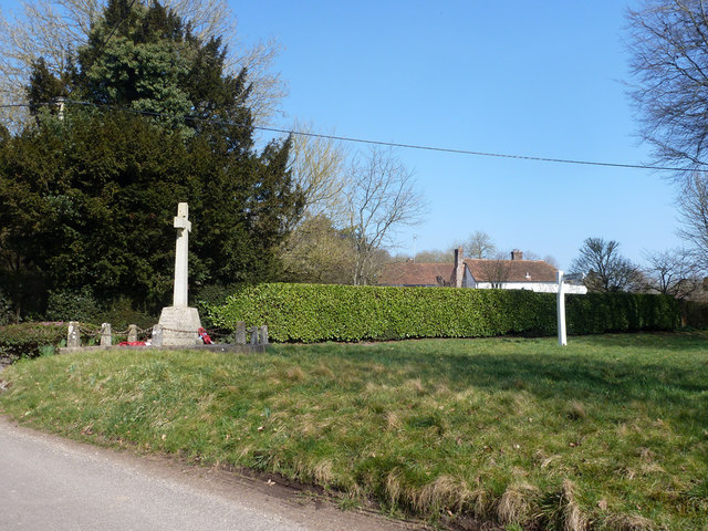
In addition to its natural beauty, Ladies Lawn also boasts historical significance. The area is dotted with ancient sites and landmarks, such as burial mounds and stone circles, which provide glimpses into the region's past. These historical attractions add an extra layer of fascination and intrigue to the already captivating landscape.
Overall, Ladies Lawn in Wiltshire is a remarkable destination, offering visitors a chance to immerse themselves in the beauty of nature and explore the region's rich history. With its downs, moorland, and historical sites, this area is a must-visit for anyone seeking a truly unique and memorable experience in the English countryside.
If you have any feedback on the listing, please let us know in the comments section below.
Ladies Lawn Images
Images are sourced within 2km of 51.271545/-1.5773941 or Grid Reference SU2952. Thanks to Geograph Open Source API. All images are credited.


Ladies Lawn is located at Grid Ref: SU2952 (Lat: 51.271545, Lng: -1.5773941)
Unitary Authority: Wiltshire
Police Authority: Wiltshire
What 3 Words
///workshop.captive.standards. Near Ludgershall, Wiltshire
Nearby Locations
Related Wikis

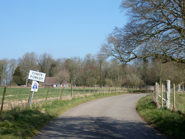
Chute, Wiltshire
Chute is a civil parish in east Wiltshire, England, on the border with Hampshire. It includes the main village of Upper Chute and the smaller settlements...

St Mary's Church, Chute Forest
St Mary's Church in Chute Forest, Wiltshire, England, was built between 1870 and 1871 and consecrated in 1875. It is recorded in the National Heritage...

Biddesden House
Biddesden House (or Biddesden Park) is a Grade I listed English country house in east Wiltshire, about 5 miles (8 km) north-west of Andover, Hampshire...

Chute Forest
Chute Forest is a village and civil parish in east Wiltshire, England. The parish is bordered to the east and south by the county of Hampshire. The village...

Faberstown
Faberstown is a settlement in the civil parish of Ludgershall, Wiltshire, England. Its nearest town is Andover, approximately 6 miles (9.7 km) to the...

Redenham Park
Redenham Park is an estate in the civil parish of Appleshaw,[A] Hampshire, England, surrounding Redenham House, an 18th-century Grade II* listed country...
Redenham
Redenham is a small village in the civil parish of Appleshaw in the Test Valley district of Hampshire, England. It is in the civil Parish of Fyfield....

Tangley
Tangley is a village in the English county of Hampshire. Tangley is situated north of the old market town of Andover and the village of Charlton, Hampshire...
Nearby Amenities
Located within 500m of 51.271545,-1.5773941Have you been to Ladies Lawn?
Leave your review of Ladies Lawn below (or comments, questions and feedback).