Honey Bottom
Valley in Wiltshire
England
Honey Bottom
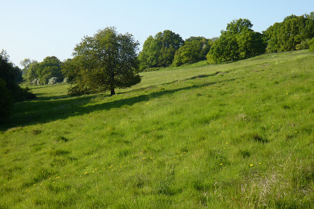
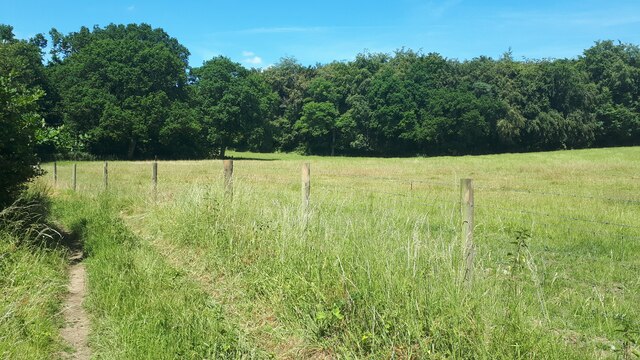
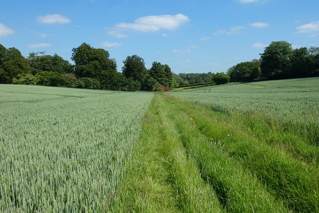
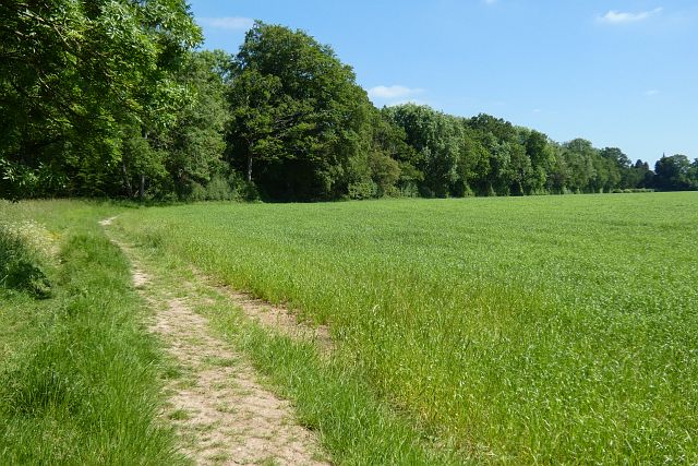
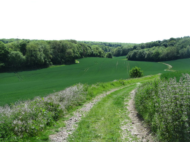
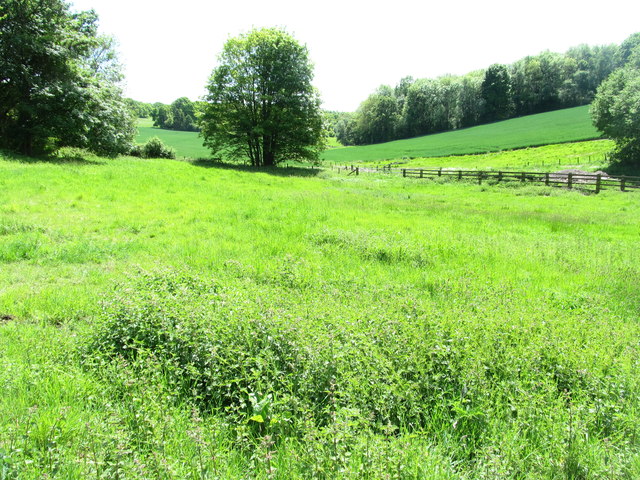
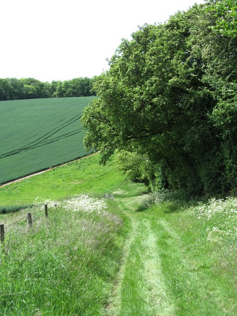
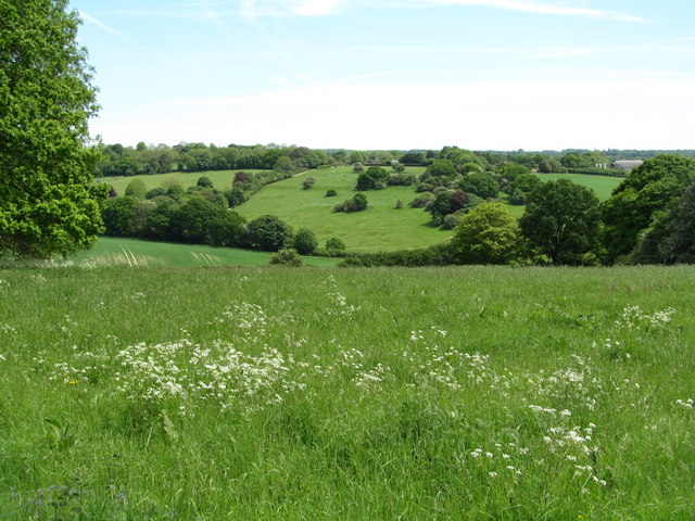
Honey Bottom is a picturesque valley located in the county of Wiltshire, England. Nestled amidst the rolling hills of the region, it is a haven for nature lovers and outdoor enthusiasts alike. The valley derives its name from the abundance of wildflowers that bloom in the area, giving it a vibrant and colorful appearance during the warmer months.
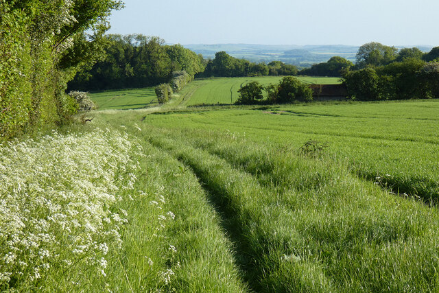
The valley is home to a diverse range of flora and fauna, making it an important ecological site. It is a designated Area of Outstanding Natural Beauty, ensuring its protection and preservation for future generations. The meandering Honey Brook River runs through the valley, adding to its charm and providing a tranquil setting for visitors to enjoy.
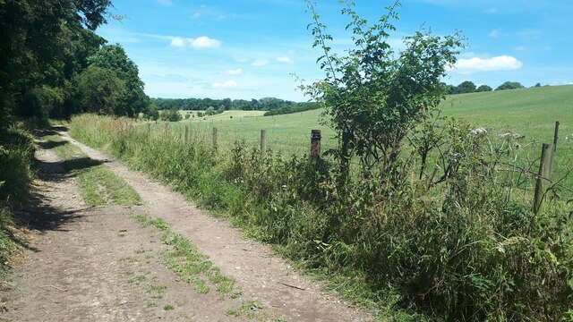
The valley offers a plethora of recreational activities for visitors. Hiking and walking trails crisscross the area, allowing visitors to explore the stunning countryside and take in breathtaking views. Cycling is also a popular activity, with several cycling routes passing through the valley and its surrounding areas.
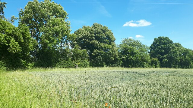
For those seeking a more peaceful experience, Honey Bottom provides ample opportunities for birdwatching and wildlife spotting. The valley is home to a variety of bird species, including the elusive kingfisher and the majestic buzzard. Additionally, deer and other small mammals can often be spotted in the surrounding woodlands.
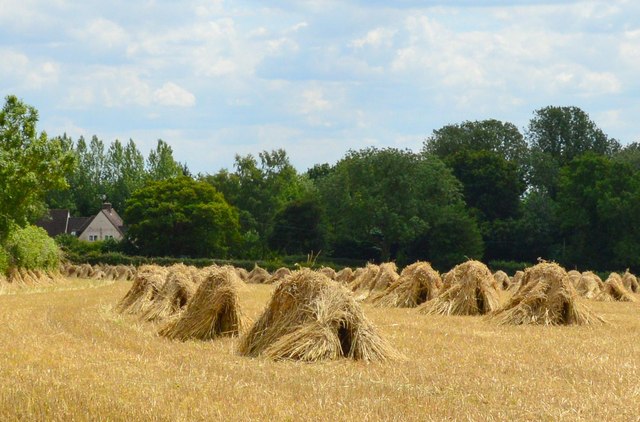
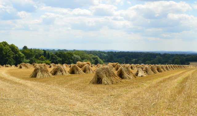
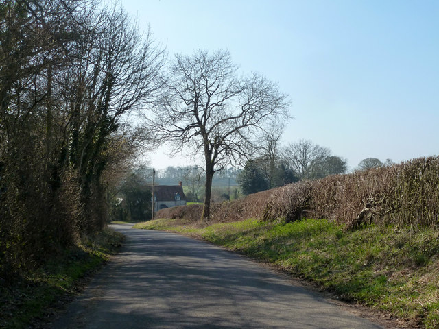
Honey Bottom is not only a natural paradise but also boasts a rich cultural heritage. The nearby Honey Bottom Farm showcases traditional farming practices and offers visitors a glimpse into rural life in Wiltshire. The valley is also dotted with charming villages and historical landmarks, providing a glimpse into the region's past.
In summary, Honey Bottom, Wiltshire, is a captivating valley that offers a harmonious blend of natural beauty, recreational activities, and cultural heritage. Whether visitors are seeking adventure or tranquility, this hidden gem has something for everyone to enjoy.
If you have any feedback on the listing, please let us know in the comments section below.
Honey Bottom Images
Images are sourced within 2km of 51.274059/-1.5838794 or Grid Reference SU2952. Thanks to Geograph Open Source API. All images are credited.


Honey Bottom is located at Grid Ref: SU2952 (Lat: 51.274059, Lng: -1.5838794)
Unitary Authority: Wiltshire
Police Authority: Wiltshire
What 3 Words
///bitter.lower.hills. Near Ludgershall, Wiltshire
Nearby Locations
Related Wikis

Chute, Wiltshire
Chute is a civil parish in east Wiltshire, England, on the border with Hampshire. It includes the main village of Upper Chute and the smaller settlements...

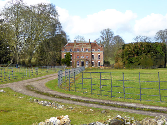
Biddesden House
Biddesden House (or Biddesden Park) is a Grade I listed English country house in east Wiltshire, about 5 miles (8 km) north-west of Andover, Hampshire...

St Mary's Church, Chute Forest
St Mary's Church in Chute Forest, Wiltshire, England, was built between 1870 and 1871 and consecrated in 1875. It is recorded in the National Heritage...

Chute Forest
Chute Forest is a village and civil parish in east Wiltshire, England. The parish is bordered to the east and south by the county of Hampshire. The village...

Faberstown
Faberstown is a settlement in the civil parish of Ludgershall, Wiltshire, England. Its nearest town is Andover, approximately 6 miles (9.7 km) to the...

Ludgershall Castle
Ludgershall Castle is a ruined 12th-century fortified royal residence at Ludgershall in Wiltshire, England. Three large walls still remain of the castle...
Ludgershall, Wiltshire
Ludgershall ( LUG-ər-shawl, with a hard g) is a town and civil parish 16 miles (26 km) north east of Salisbury, Wiltshire, England. It is on the A342 road...

Ludgershall railway station, Wiltshire
Ludgershall railway station was a railway station which served the town of Ludgershall in Wiltshire, England from 1882 to 1961. == History == The station...
Nearby Amenities
Located within 500m of 51.274059,-1.5838794Have you been to Honey Bottom?
Leave your review of Honey Bottom below (or comments, questions and feedback).