Near Down
Downs, Moorland in Berkshire
England
Near Down

Near Down, Berkshire is a picturesque area located in the county of Berkshire, England. It is nestled between the rolling hills of the Berkshire Downs and the vast expanse of Moorland, offering breathtaking views of the surrounding countryside.
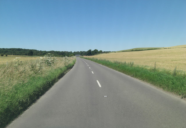
The area is known for its natural beauty, with lush green meadows, dense woodlands, and charming streams that meander through the landscape. Near Down is a haven for nature lovers and outdoor enthusiasts, offering a wide range of activities such as hiking, cycling, and birdwatching.
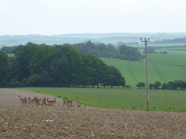
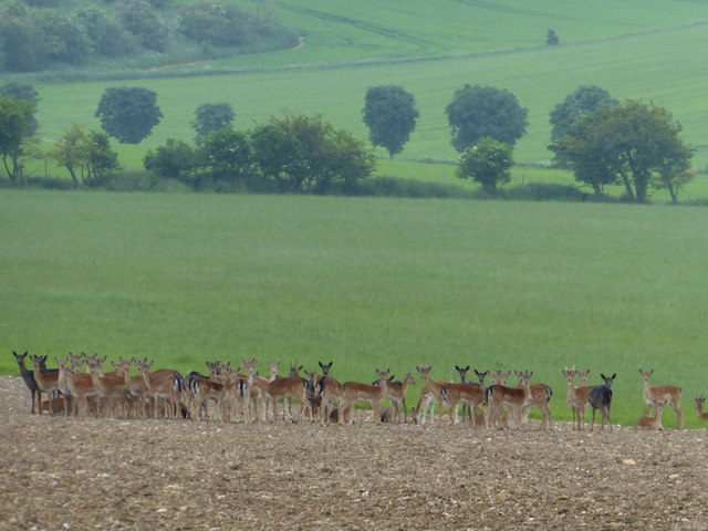
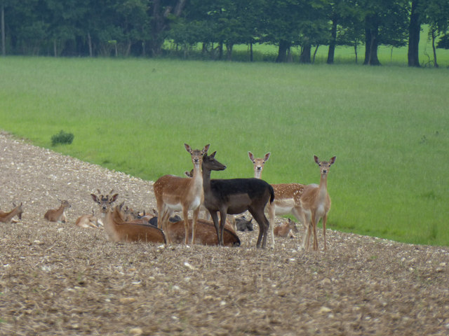
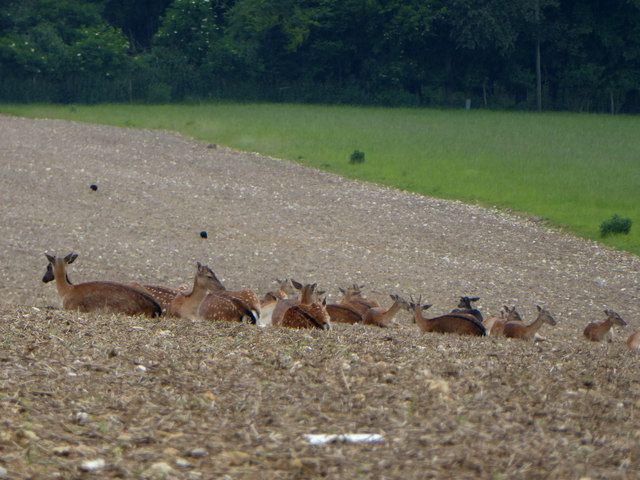
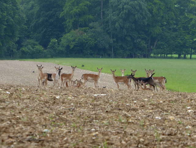
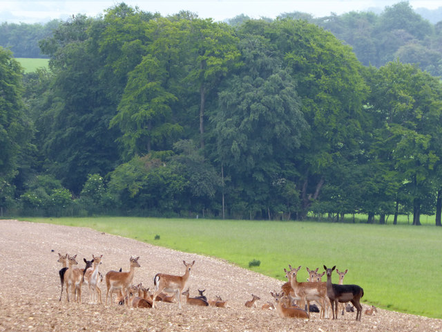
The Berkshire Downs, which lie to the north of Near Down, are a prominent feature of the area. These ancient chalk hills provide a stunning backdrop and offer excellent opportunities for walking and exploring the countryside. The Downs are also home to an array of wildlife, including deer, foxes, and various species of birds.
Moorland, which lies to the south of Near Down, is characterized by its expansive open spaces and heather-covered hills. This rugged terrain attracts visitors who enjoy the freedom and tranquility of the moors. It is also a designated Site of Special Scientific Interest, due to its unique flora and fauna.
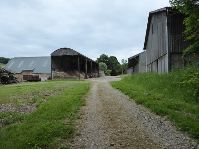
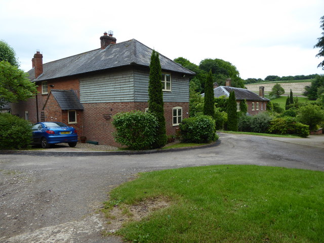
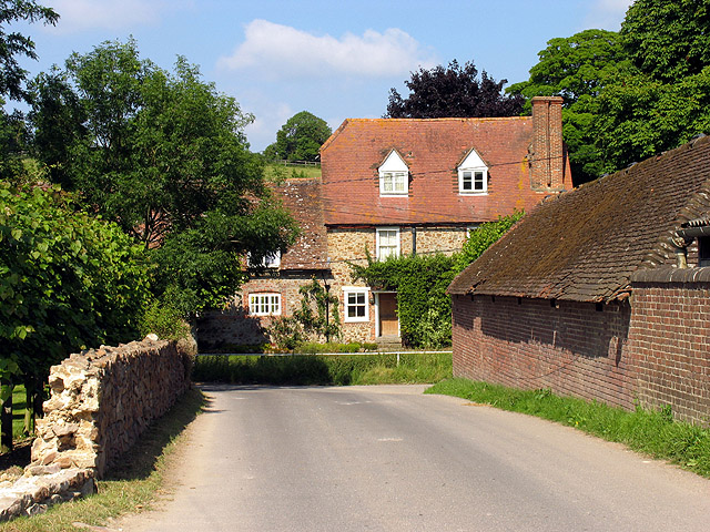
Near Down itself is a small, peaceful village with a tight-knit community. It boasts traditional cottages, a charming village green, and a historic church. The village provides a sense of tranquility and a break from the hustle and bustle of city life.
In conclusion, Near Down, Berkshire is a stunning area that offers a unique blend of natural beauty and rural charm. It is an ideal destination for those seeking a peaceful retreat and an opportunity to immerse themselves in the beauty of nature.
If you have any feedback on the listing, please let us know in the comments section below.
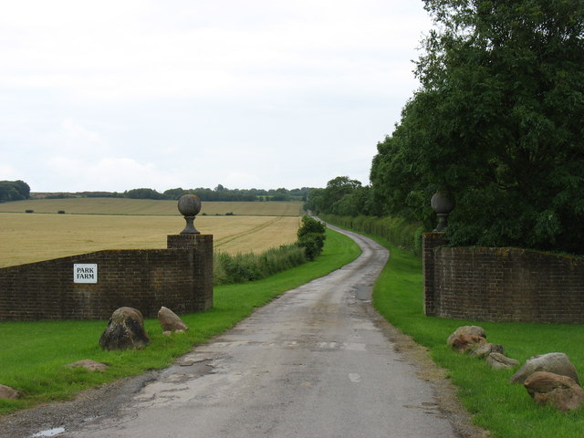
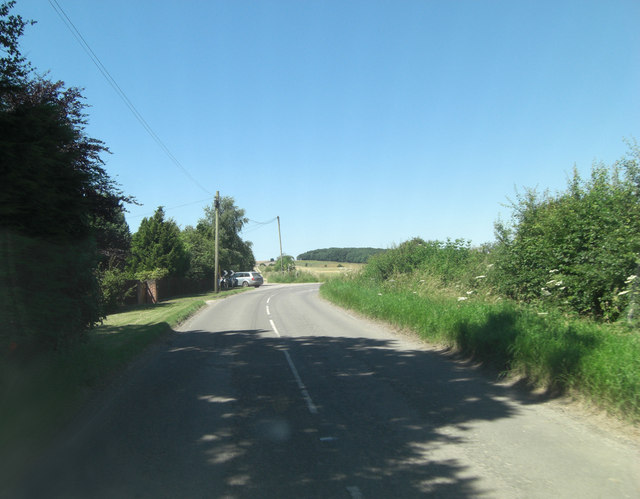
Near Down Images
Images are sourced within 2km of 51.514474/-1.5751226 or Grid Reference SU2979. Thanks to Geograph Open Source API. All images are credited.


Near Down is located at Grid Ref: SU2979 (Lat: 51.514474, Lng: -1.5751226)
Unitary Authority: West Berkshire
Police Authority: Thames Valley
What 3 Words
///livid.inspector.mixture. Near Lambourn, Berkshire
Nearby Locations
Related Wikis

Fognam Chalk Quarry
Fognam Chalk Quarry is a 3-hectare (7.4-acre) geological Site of Special Scientific Interest west of Upper Lambourn in Berkshire. It is a Geological Conservation...
Upper Lambourn
Upper Lambourn is a small village in the county of Berkshire, England. The village is situated in the civil parish of Lambourn , and is 1.2 miles (2 km...

Baydon
Baydon is a village and civil parish in Wiltshire, England about 10 miles (16 km) south-east of Swindon. The eastern boundary of the parish forms part...

Ashdown Park
Ashdown Park is a 9.3-hectare (23-acre) biological Site of Special Scientific Interest (SSSI) south of Ashbury in Oxfordshire. The SSSI is part of the...
Nearby Amenities
Located within 500m of 51.514474,-1.5751226Have you been to Near Down?
Leave your review of Near Down below (or comments, questions and feedback).