Top of Cragg

Settlement in Lancashire

England

Top of Cragg

Tandle Hill War memorial atop Tandle Hill.
Tandle Hill Credit: Peter McDermott

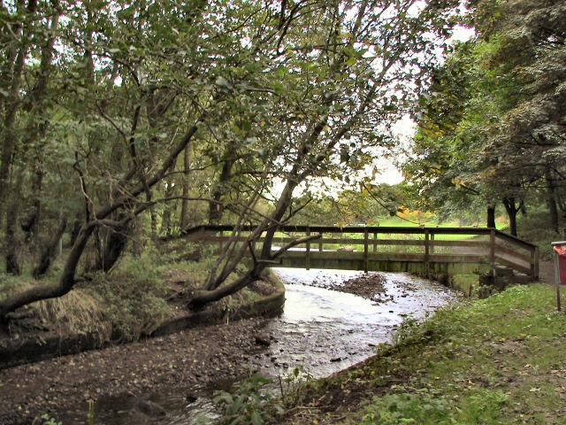
Top of Cragg is a small village located in the county of Lancashire, England. Situated on the southern edge of the Pennines, it lies approximately 7 miles northwest of the town of Todmorden and 10 miles northeast of Burnley. The village is nestled within the rural beauty of the Rossendale Valley, offering picturesque views of the surrounding countryside.

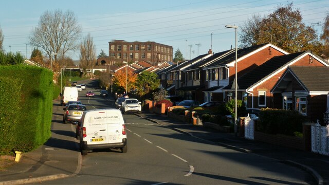
Known for its tranquil atmosphere and charming character, Top of Cragg is a close-knit community with a population of around 300 residents. The village is primarily residential, consisting of a mix of traditional stone-built houses and more modern properties. Its idyllic setting attracts those seeking a peaceful retreat away from the bustle of larger towns and cities.

Despite its small size, Top of Cragg benefits from a range of amenities to cater to its residents' needs. There is a local primary school, providing education for the village's younger population, and a village hall that serves as a hub for various community activities and events. The village also boasts a quaint pub, offering a cozy spot for locals and visitors alike to enjoy a drink or a meal.

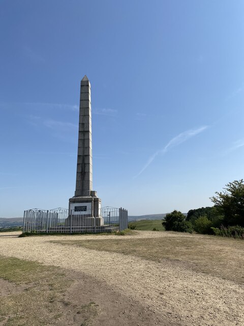
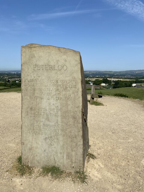
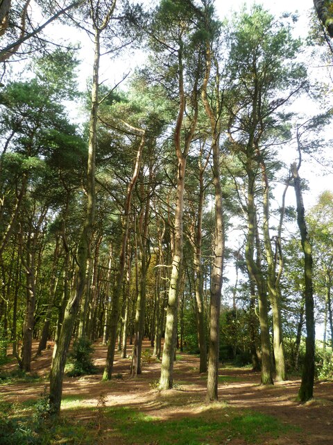
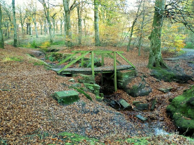
For outdoor enthusiasts, Top of Cragg offers ample opportunities for exploration and recreation. The nearby countryside presents a wealth of walking trails, allowing residents to immerse themselves in nature and enjoy breathtaking views of the valley. The village's proximity to the Pennines also makes it an ideal base for hikers and nature lovers.

In summary, Top of Cragg is a charming village in Lancashire, offering a peaceful lifestyle and stunning natural surroundings. Its close community spirit and rural setting make it an attractive place to live for those seeking a quiet retreat in the heart of the Rossendale Valley.

If you have any feedback on the listing, please let us know in the comments section below.
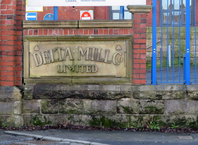
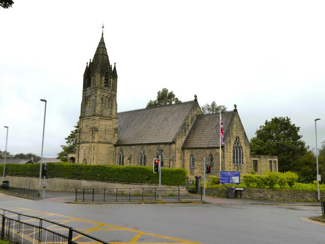
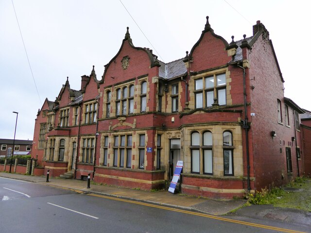
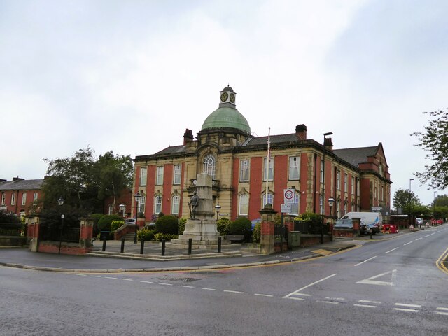
Top of Cragg Images

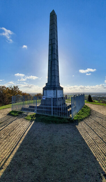
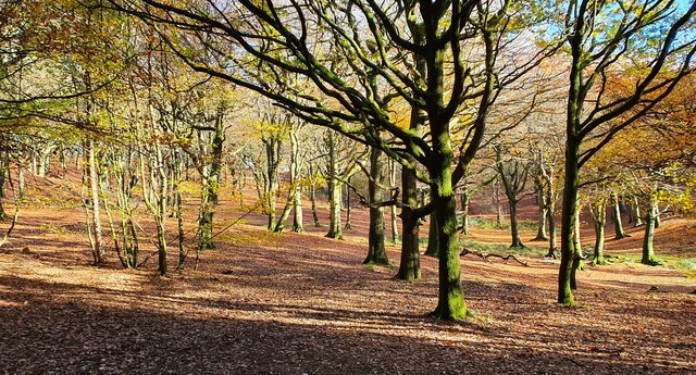
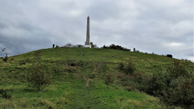
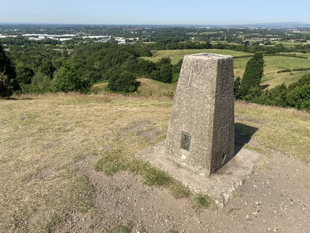
Images are sourced within 2km of 53.559091/-2.1529006 or Grid Reference SD8906. Thanks to Geograph Open Source API. All images are credited.

Tandle Hill War memorial atop Tandle Hill.
Tandle Hill
War memorial atop Tandle Hill.
Tandle Hill Country Park
Tandle Hill With the war memorial viewed from the path from Thornham Fold
Tandle Hill
With the war memorial viewed from the path from Thornham Fold
Tandle Hill Trig Point Flush Bracket S2792
Tandle Hill War Memorial Inscription - TANDLE HILL/ PARK AND WOODS/ THESE GROUNDS ARE THE GIFT OF/ NORRIS BRADBURY ESQ. J.P./ OF TYNWALD MOUNT/ SHAW ROAD,/ ROYTON/ AS/ A THANK OFFERING FOR PEACE/ AFTER THE/ GREAT EUROPEAN WAR/ 1914 - 1919/ 6TH SEPR. 1919

<span class="nowrap"><a title="https://www.iwm.org.uk/memorials/item/memorial/44962" rel="nofollow ugc noopener" href="https://www.iwm.org.uk/memorials/item/memorial/44962">Link</a><img style="margin-left:2px;" alt="External link" title="External link - shift click to open in new window" src="https://s1.geograph.org.uk/img/external.png" width="10" height="10"/></span>
Tandle Hill War Memorial
Inscription - TANDLE HILL/ PARK AND WOODS/ THESE GROUNDS ARE THE GIFT OF/ NORRIS BRADBURY ESQ. J.P./ OF TYNWALD MOUNT/ SHAW ROAD,/ ROYTON/ AS/ A THANK OFFERING FOR PEACE/ AFTER THE/ GREAT EUROPEAN WAR/ 1914 - 1919/ 6TH SEPR. 1919 LinkExternal link
Peterloo Massacre Memorial Stone <span class="nowrap"><a title="https://en.wikipedia.org/wiki/Peterloo_Massacre" rel="nofollow ugc noopener" href="https://en.wikipedia.org/wiki/Peterloo_Massacre">Link</a><img style="margin-left:2px;" alt="External link" title="External link - shift click to open in new window" src="https://s1.geograph.org.uk/img/external.png" width="10" height="10"/></span>

The Peterloo Massacre took place at St Peter's Field, Manchester, Lancashire, England, on Monday 16 August 1819. Fifteen people died when cavalry charged into a crowd of around 60,000 people who had gathered to demand the reform of parliamentary representation.
Peterloo Massacre Memorial Stone
LinkExternal link The Peterloo Massacre took place at St Peter's Field, Manchester, Lancashire, England, on Monday 16 August 1819. Fifteen people died when cavalry charged into a crowd of around 60,000 people who had gathered to demand the reform of parliamentary representation.
Tandle Hill Car Park
Tandle Hill Country Park Woodland On the path that runs along the top of Oozewood Clough. The path runs through the wood whereas OS maps have it along the outside boundary
Tandle Hill Country Park Woodland
On the path that runs along the top of Oozewood Clough. The path runs through the wood whereas OS maps have it along the outside boundary
Cinder Hill Lane Approaching Head o' th' Heys on this high edged lane used by the Oldham Way trail
Cinder Hill Lane
Approaching Head o' th' Heys on this high edged lane used by the Oldham Way trail
Oozewood Road With the empty Thornham Mill at the top of the road
Oozewood Road
With the empty Thornham Mill at the top of the road
Tandle Hill Country Park stream footbridge This bridge does not appear marked on maps
Tandle Hill Country Park stream footbridge
This bridge does not appear marked on maps
Delta Mill, Royton This former cotton spinning mill was built in 1902 and extended in 1913-14. In 1954 it had 124,996 mule spindles and 9,120 ring spindles. It ceased cotton production in 1979 and the top three floors were removed two years later. The premises are used by Coin Controls - a note and coin validation business. The massive engine house survives and is seen in this view. The engine house originally contained a 1500 horsepower J & E Wood horizontal steam engine. The angle of the sun and extensive tree growth prevented me from getting any better images.
Delta Mill, Royton
This former cotton spinning mill was built in 1902 and extended in 1913-14. In 1954 it had 124,996 mule spindles and 9,120 ring spindles. It ceased cotton production in 1979 and the top three floors were removed two years later. The premises are used by Coin Controls - a note and coin validation business. The massive engine house survives and is seen in this view. The engine house originally contained a 1500 horsepower J & E Wood horizontal steam engine. The angle of the sun and extensive tree growth prevented me from getting any better images.
Entrance to Delta Mill, Royton This former cotton spinning mill was built in 1902 and extended in 1913-14. In 1954 it had 124,996 mule spindles and 9,120 ring spindles. It ceased cotton production in 1979 and the top three floors were removed two years later. The premises are used by Crane Payment Innovations - a note and coin validation business. The massive engine house survives (but not seen here) and originally contained a 1500 horsepower J & E Wood horizontal steam engine.
Entrance to Delta Mill, Royton
This former cotton spinning mill was built in 1902 and extended in 1913-14. In 1954 it had 124,996 mule spindles and 9,120 ring spindles. It ceased cotton production in 1979 and the top three floors were removed two years later. The premises are used by Crane Payment Innovations - a note and coin validation business. The massive engine house survives (but not seen here) and originally contained a 1500 horsepower J & E Wood horizontal steam engine.
Delta Mill, Royton - name stone This former cotton spinning mill was built in 1902 and extended in 1913-14. In 1954 it had 124,996 mule spindles and 9,120 ring spindles. It ceased cotton production in 1979 and the top three floors were removed two years later. The premises are used by Crane Payment Innovations - a note and coin validation business. The massive engine house survives (but not seen here) and originally contained a 1500 horsepower J & E Wood horizontal steam engine.
Delta Mill, Royton - name stone
This former cotton spinning mill was built in 1902 and extended in 1913-14. In 1954 it had 124,996 mule spindles and 9,120 ring spindles. It ceased cotton production in 1979 and the top three floors were removed two years later. The premises are used by Crane Payment Innovations - a note and coin validation business. The massive engine house survives (but not seen here) and originally contained a 1500 horsepower J & E Wood horizontal steam engine.
Church of St Matthew
Works on Faulkenhurst Street Early OS maps show a Sunday School at this location and this works looks to have incorporated such a building
Works on Faulkenhurst Street
Early OS maps show a Sunday School at this location and this works looks to have incorporated such a building
Former Police Station In Victoria Street, very close to the other civic buildings of Chadderton, the Town Hall and the library
Former Police Station
In Victoria Street, very close to the other civic buildings of Chadderton, the Town Hall and the library
Chadderton Town Hall With the war memorial in front
Chadderton Town Hall
With the war memorial in front
Show me another place!

Top of Cragg is located at Grid Ref: SD8906 (Lat: 53.559091, Lng: -2.1529006)

Unitary Authority: Oldham

Police Authority: Greater Manchester

What 3 Words

///lowest.zips.farms. Near Royton, Manchester

Related Wikis

North Chadderton School

North Chadderton School is a mixed gender secondary school and sixth form, located in Chadderton, in the Metropolitan Borough of Oldham, Greater Manchester...

St Matthew's Church, Chadderton

The Parish Church of St. Matthew is the Church of England parish church for Chadderton in Greater Manchester, England. It forms part of the Diocese of...

Healds Green

Healds Green is a hamlet in the Metropolitan Borough of Oldham, Greater Manchester, England. It is in Chadderton's semi rural northern area, just to the...

Chadderton Hall Park

Chadderton Hall Park is a park in Chadderton, in the Metropolitan Borough of Oldham, Greater Manchester, England. Its roots stretch back to the 13th century...

Nearby Amenities

Located within 500m of 53.559091,-2.1529006
Bus Stop
Buckley Wood, Streetbridge Road / outside Irk Bridge
Bus: yes
Naptan AtcoCode: 1800ED03801
Naptan Bearing: SW
Naptan CommonName: Streetbridge Road/Irk Bridge
Naptan Indicator: On Bridge
Naptan Landmark: HOUSE 120
Naptan NaptanCode: manamadg
Naptan PlusbusZoneRef: MNCRPIC
Naptan ShortCommonName: Irk Bridge
Naptan Street: STREETBRIDGE
Naptan Verified: no
Network: TfGM
Operator: TfGM
Public Transport: platform
Source: naptan_import
Lat/Long: 53.558895/-2.1483552
Bus Stop
North Chadderton Upper School
Bench: no
Bus: yes
Naptan AtcoCode: 1800ED07531
Naptan Bearing: SW
Naptan CommonName: North Chadderton Upper School
Naptan Indicator: School
Naptan Landmark: SCHOOL
Naptan NaptanCode: manamdja
Naptan PlusbusZoneRef: MNCRPIC
Naptan ShortCommonName: North Chadderton
Naptan Street: CHADD HALL ROAD
Naptan Verified: no
Network: TfGM
Public Transport: platform
Shelter: no
Source: naptan_import
Lat/Long: 53.5554462/-2.1536848
Bus Stop
North Chadderton Upper School
Bench: no
Bus: yes
Naptan AtcoCode: 1800ED07551
Naptan Bearing: SW
Naptan CommonName: North Chadderton Upper School
Naptan Indicator: School
Naptan Landmark: SCHOOL
Naptan NaptanCode: manamdjg
Naptan PlusbusZoneRef: MNCRPIC
Naptan ShortCommonName: North Chadderton
Naptan Street: CHADD HALL ROAD
Naptan Verified: no
Network: TfGM
Public Transport: platform
Shelter: no
Source: naptan_import
Lat/Long: 53.5555364/-2.1534888
Bus Stop
North Chadderton Upper School
Bus: yes
Naptan AtcoCode: 1800ED07561
Naptan Bearing: SW
Naptan CommonName: North Chadderton Upper School
Naptan Indicator: School
Naptan Landmark: SCHOOL
Naptan NaptanCode: manamdjm
Naptan PlusbusZoneRef: MNCRPIC
Naptan ShortCommonName: North Chadderton
Naptan Street: CHADD HALL ROAD
Naptan Verified: no
Network: TfGM
Public Transport: platform
Shelter: yes
Source: naptan_import
Lat/Long: 53.5553291/-2.153941
Bus Stop
Burnley Lane/Beech Avenue
Bus: yes
Naptan AtcoCode: 1800ED10721
Naptan Bearing: W
Naptan CommonName: Burnley Lane/Beech Avenue
Naptan Indicator: Nr House 485
Naptan Landmark: HOUSE 485
Naptan NaptanCode: manamjmj
Naptan PlusbusZoneRef: MNCRPIC
Naptan ShortCommonName: Beech Avenue
Naptan Street: BURNLEY LANE
Naptan Verified: no
Network: TfGM
Public Transport: platform
Source: naptan_import
Lat/Long: 53.5562992/-2.1473175
Bus Stop
Chadderton, Chadderton Hall Road / opposite Chadderton Hall Park
Bench: no
Bin: no
Bus: yes
Naptan AtcoCode: 1800ED02331
Naptan Bearing: SW
Naptan CommonName: Chadderton Hall Road/Chadderton Hall Pk
Naptan Indicator: O/s House 95
Naptan Landmark: HOUSE 95
Naptan NaptanCode: manajwga
Naptan PlusbusZoneRef: MNCRPIC
Naptan ShortCommonName: Park
Naptan Street: CHADD HALL ROAD
Naptan Verified: no
Network: TfGM
Operator: TfGM
Public Transport: platform
Shelter: no
Source: naptan_import
Lat/Long: 53.5549234/-2.1548301
Bus Stop
Chadderton, Chadderton Hall Road / outside North Chadderton School
Bus: yes
Naptan AtcoCode: 1800ED02341
Naptan Bearing: SW
Naptan CommonName: Chadderton Hall Road/North Chadderton Sc
Naptan Indicator: North Chad Sch
Naptan Landmark: SCHOOL
Naptan NaptanCode: manajwgd
Naptan PlusbusZoneRef: MNCRPIC
Naptan ShortCommonName: North Chadderton
Naptan Street: CHADD HALL ROAD
Naptan Verified: no
Network: TfGM
Operator: TfGM
Public Transport: platform
Source: naptan_import
Lat/Long: 53.5563025/-2.1518311
Bus Stop
Chadderton, Chadderton Hall Road / opposite Junior School
Bus: yes
Naptan AtcoCode: 1800ED02351
Naptan Bearing: NE
Naptan CommonName: Chadderton Hall Road/Junior School
Naptan Indicator: Church
Naptan Landmark: CHURCH
Naptan NaptanCode: manajwgj
Naptan PlusbusZoneRef: MNCRPIC
Naptan ShortCommonName: Junior School
Naptan Street: CHADD HALL ROAD
Naptan Verified: no
Network: TfGM
Operator: TfGM
Public Transport: platform
Source: naptan_import
Lat/Long: 53.5565364/-2.1516508
Bus Stop
Buckley Wood, Street Bridge Road / opposite Irk Bridge
Bus: yes
Naptan AtcoCode: 1800ED02501
Naptan Bearing: NE
Naptan CommonName: Streetbridge Road/Irk Bridge
Naptan Indicator: Irk Bridge
Naptan Landmark: HOUSE 120
Naptan NaptanCode: manajwmj
Naptan PlusbusZoneRef: MNCRPIC
Naptan ShortCommonName: Irk Bridge
Naptan Street: STREETBRIDGE
Naptan Verified: no
Network: TfGM
Operator: TfGM
Public Transport: platform
Source: naptan_import
Lat/Long: 53.5590523/-2.1483425
Turning Circle
Lat/Long: 53.5559522/-2.148449
Motorway Junction
Chadderton Roundabout
Ref: 1
Lat/Long: 53.560651/-2.1467714
Power: tower
Lat/Long: 53.5550819/-2.1557321
Power: tower
Lat/Long: 53.560483/-2.1589829
Power: tower
Lat/Long: 53.5581107/-2.1598466
Power: tower
Lat/Long: 53.5564123/-2.1575506
Pub
The Horton Arms
Source: Bing
Lat/Long: 53.5599648/-2.1457521
Barrier: stile
Lat/Long: 53.563321/-2.1542125
Pub
Church Inn
Lat/Long: 53.5570525/-2.1553048
Healds Green
Place: hamlet
Lat/Long: 53.5592506/-2.156356
Generator Method: photovoltaic
Generator Output Electricity: yes
Generator Source: solar
Generator Type: solar_photovoltaic_panel
Location: roof
Power: generator
Lat/Long: 53.5573446/-2.1479986
Generator Method: photovoltaic
Generator Output Electricity: yes
Generator Source: solar
Generator Type: solar_photovoltaic_panel
Location: roof
Power: generator
Lat/Long: 53.5571088/-2.1470491
Power: pole
Lat/Long: 53.5596136/-2.1453806
Bus Stop
Chadderton, NE-bound Cathedral Road
Bus: yes
Network: TfGM
Operator: TfGM
Public Transport: platform
Lat/Long: 53.5553046/-2.1489004
Barrier: stile
Dog Gate: yes
Stile: stepover
Lat/Long: 53.5632639/-2.1553856
The data included in this document is from www.openstreetmap.org. The data is made available under ODbL.

Have you been to Top of Cragg?

Leave your review of Top of Cragg below (or comments, questions and feedback).