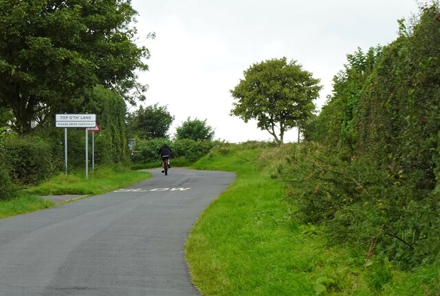
Top o' th' Lane

Settlement in Lancashire Chorley

England

Top o' th' Lane

Leeds and Liverpool Canal at Johnson's Hillock Top The canal towpath passing the private moorings of Wheelton Boat Club
Leeds and Liverpool Canal at Johnson's Hillock Top Credit: Chris Heaton

Top o' th' Lane is a small village located in Lancashire, England. Situated in the picturesque countryside, the village offers a tranquil and idyllic setting for its residents and visitors alike. With a population of around 500 people, it is a close-knit community that prides itself on its rich history and natural beauty.

The village is characterized by its charming stone cottages, many of which date back to the 18th century. These traditional houses give Top o' th' Lane a timeless and nostalgic feel, attracting tourists who appreciate the architectural heritage of the area. The village is also known for its well-maintained gardens and floral displays, which add to its overall charm.

Despite its small size, Top o' th' Lane boasts a range of amenities for its residents. There is a local pub, The Old Oak, serving traditional pub food and ales, providing a cozy gathering place for locals and visitors. The village also has a primary school, ensuring that families have access to educational facilities within the community.

Surrounded by rolling hills and meandering streams, Top o' th' Lane offers ample opportunities for outdoor activities. Visitors can explore the numerous walking trails that crisscross the countryside, taking in the breathtaking views and enjoying the peaceful ambiance. The village is also within easy reach of larger towns and cities, making it a convenient base for those who wish to explore the wider region.

In summary, Top o' th' Lane is a charming village in Lancashire that exudes a sense of tranquility and old-world charm. Its well-preserved cottages, beautiful gardens, and access to the countryside make it a desirable destination for those seeking a peaceful retreat or a glimpse into rural English life.

If you have any feedback on the listing, please let us know in the comments section below.

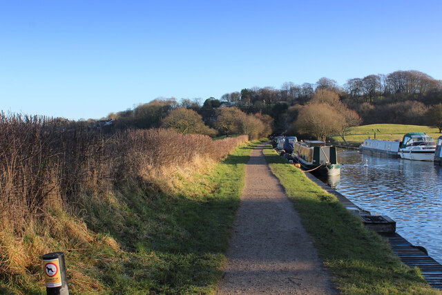
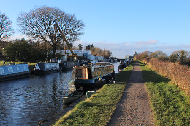
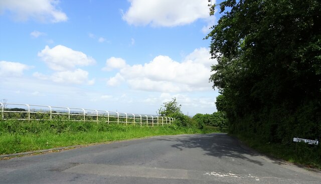
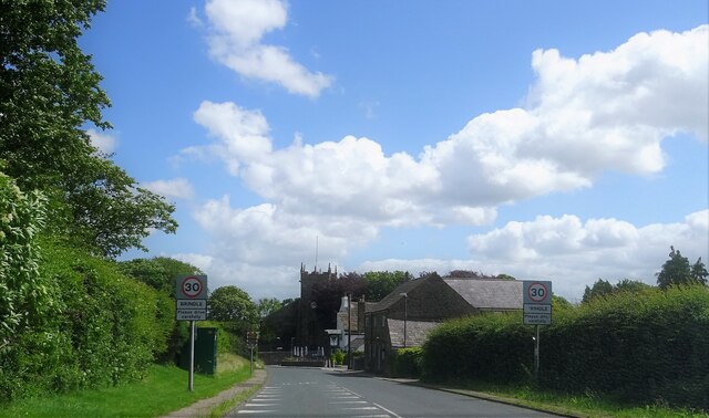
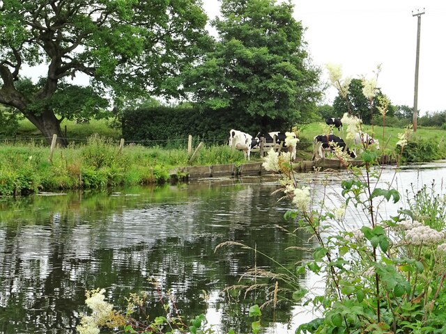
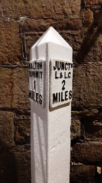
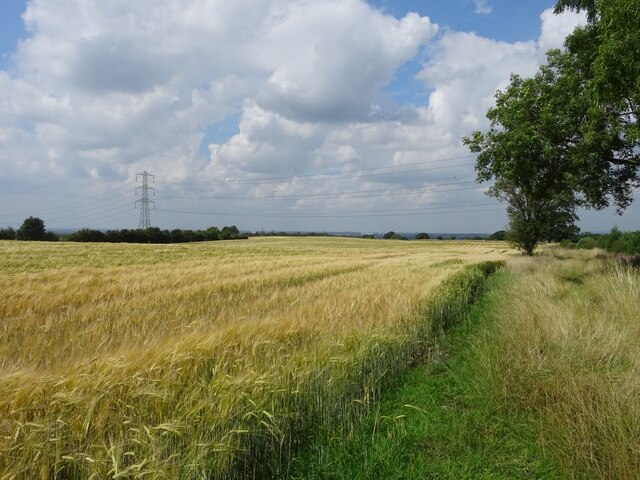
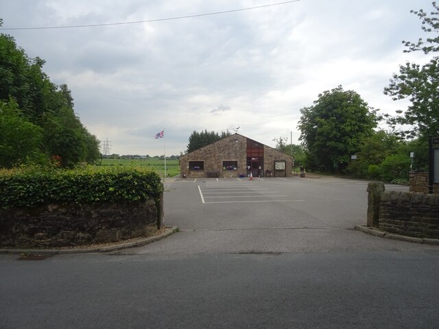
Top o' th' Lane Images

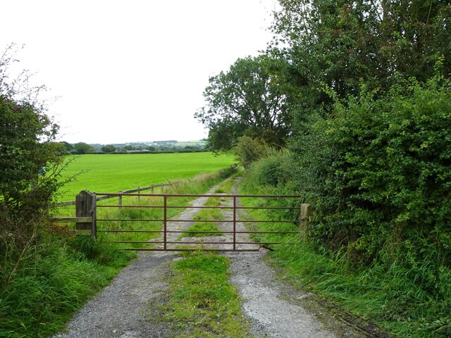
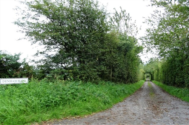
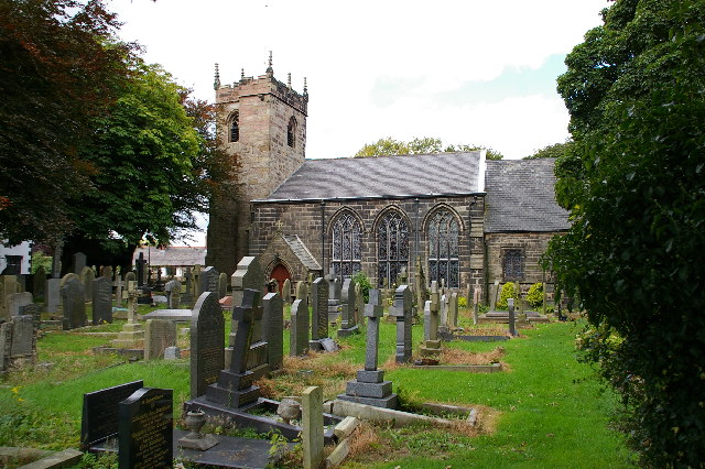
Images are sourced within 2km of 53.702145/-2.6157174 or Grid Reference SD5923. Thanks to Geograph Open Source API. All images are credited.

Leeds and Liverpool Canal at Johnson's Hillock Top The canal towpath passing the private moorings of Wheelton Boat Club
Leeds and Liverpool Canal at Johnson's Hillock Top
The canal towpath passing the private moorings of Wheelton Boat Club
Approaching the Locks at Johnson's Hillock Top The Leeds and Liverpool Canal near Wheelton - between Chorley and Blackburn
Approaching the Locks at Johnson's Hillock Top
The Leeds and Liverpool Canal near Wheelton - between Chorley and Blackburn
Pippin Street At its junction with Sandy Lane near Thorpe Green.
Pippin Street
At its junction with Sandy Lane near Thorpe Green.
Approaching Brindle The church is St. James' and the pub to the right of the church tower is The Cavendish Arms.
Approaching Brindle
The church is St. James' and the pub to the right of the church tower is The Cavendish Arms.
Leeds and Liverpool Canal At Top Lock near Wheelton.
Leeds and Liverpool Canal
At Top Lock near Wheelton.
The Top Lock A pub by the Leeds and Liverpool Canal near Wheelton.
The Top Lock
A pub by the Leeds and Liverpool Canal near Wheelton.
Mown field A hay crop will have been recently harvested here by the Leeds and Liverpool Canal.
Mown field
A hay crop will have been recently harvested here by the Leeds and Liverpool Canal.
Canal towpath At Top Lock Bridge near Wheelton.
Canal towpath
At Top Lock Bridge near Wheelton.
Unmown field Probably shortly to be mown for hay.
Unmown field
Probably shortly to be mown for hay.
Wheelton Boatyard On the Leeds and Liverpool Canal.
Wheelton Boatyard
On the Leeds and Liverpool Canal.
Cattle by the canal Young bovines by the edge of the Leeds and Liverpool Canal.
Cattle by the canal
Young bovines by the edge of the Leeds and Liverpool Canal.
Canal Milestone, Lord Nelson Pub, Clayton-le-Woods Originally located on the Lancaster Canal (South End) probably about 320m to the East of the pub at what was then Radburn Bridge. Now between Westwood Road and the M61.

Inscription: Walton / Summit / 1 / Miles // Junctᴺ / L & L C / 2 / Miles

Milestone National ID: tbc
Canal Milestone, Lord Nelson Pub, Clayton-le-Woods
Originally located on the Lancaster Canal (South End) probably about 320m to the East of the pub at what was then Radburn Bridge. Now between Westwood Road and the M61. Inscription: Walton / Summit / 1 / Miles // Junctᴺ / L & L C / 2 / Miles Milestone National ID: tbc
Fields near Brindle At this point, the track leading from Brindle heads eastwards towards the bridge spanning the M65 motorway.
Fields near Brindle
At this point, the track leading from Brindle heads eastwards towards the bridge spanning the M65 motorway.
Brindle Community Hall Lovely setting for a building of this ilk, for the use of the local community.
Brindle Community Hall
Lovely setting for a building of this ilk, for the use of the local community.
Asda, Clayton Green
Asda, Clayton Green
Approaching Top o'th' Lane A small hamlet near Brindle in Lancashire.
Approaching Top o'th' Lane
A small hamlet near Brindle in Lancashire.
Track off Denham Lane Also a public footpath leading to Breworth Fold Farm and beyond.
Track off Denham Lane
Also a public footpath leading to Breworth Fold Farm and beyond.
Track leading to Denham Hall Leading off Denham Lane.
Track leading to Denham Hall
Leading off Denham Lane.
Show me another place!

Top o' th' Lane is located at Grid Ref: SD5923 (Lat: 53.702145, Lng: -2.6157174)

Administrative County: Lancashire

District: Chorley

Police Authority: Lancashire

What 3 Words

///confident.avoid.grills. Near Brinscall, Lancashire

Related Wikis

Brindle, Lancashire

Brindle is a small village and civil parish of the borough of Chorley, Lancashire, England. The population of the civil parish at the 2011 census was...

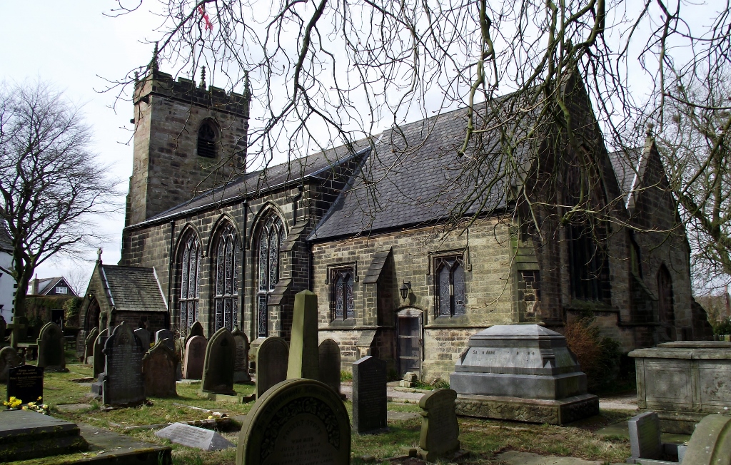
St James' Church, Brindle

St James' Church is in the village of Brindle, Lancashire, England. It is an active Anglican parish church in the deanery of Chorley, the archdeaconry...

Clayton Brook

Clayton Brook is a large residential estate in Lancashire, between the city of Preston and the town of Chorley. It forms part of the Clayton-le-Woods civil...

Withnell Fold

Withnell Fold is a hamlet, situated between Blackburn and Chorley, in Lancashire, England. == History == Withnell Fold, a model village and paper mill...

Nearby Amenities

Located within 500m of 53.702145,-2.6157174
Top O'Th' Lane
Alt Name: Top o' th' Lane
Alt Name 1: Top oth Lane
Alt Name 2: Top o' the Lane
Alt Name 3: Top of the Lane
Note: I have checked name is correct for apostrophes and spacing. And JR added variants from here : https://www.mjt.me.uk/posts/falsehoods-programmers-believe-about-addresses/
Old Name: Workhouse Lane
Place: hamlet
Source: survey
Lat/Long: 53.703087/-2.614497
Public Bookcase
Defibrillator/Bookswap
Defibrillator
Booth: K6
Defibrillator Location: inside old red phone box (now used as book swap) in Top O'Th' Lane
Disused Amenity: telephone
Emergency: defibrillator
Man Made: telephone_box
Public Bookcase Type: phone_box
Lat/Long: 53.7041483/-2.6139706
Barrier: stile
Foot: yes
Lat/Long: 53.7044446/-2.6138224
Barrier: stile
Foot: yes
Lat/Long: 53.705199/-2.6133713
Barrier: stile
Foot: yes
Lat/Long: 53.705242/-2.6133648
Barrier: stile
Foot: yes
Lat/Long: 53.7061403/-2.6129501
Post Box
Collection Times: Mo-Fr 16:30; Sa 11:30
Mapillary: 465511271400781
Operator: Royal Mail
Post Box Type: wall
Ref: PR6 67
Royal Cypher: GR
Royal Cypher Wikidata: Q33102273
Lat/Long: 53.7037821/-2.6142036
Denham Hill
Place: locality
Lat/Long: 53.6993679/-2.6205719
Brinscall ROC Post
Building: bunker
Military: bunker
Lat/Long: 53.7014026/-2.6179315
Communication Mobile Phone: yes
Man Made: mast
Material: metal
Tower Construction: lattice
Tower Type: communication
Lat/Long: 53.7054675/-2.6195117
The data included in this document is from www.openstreetmap.org. The data is made available under ODbL.

Have you been to Top o' th' Lane?

Leave your review of Top o' th' Lane below (or comments, questions and feedback).