Chadderton Heights

Settlement in Lancashire

England

Chadderton Heights

Tandle Hill War memorial atop Tandle Hill.
Tandle Hill Credit: Peter McDermott

Chadderton Heights is a residential area located in the borough of Oldham, in the county of Lancashire, England. Situated to the north of Manchester, Chadderton Heights is a sought-after neighborhood known for its tranquil surroundings and convenient access to various amenities.

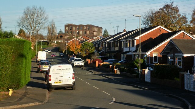
The area primarily consists of well-maintained suburban housing, characterized by a mix of detached and semi-detached properties. Many of these homes boast spacious gardens and driveways, providing residents with ample space and privacy. The architecture in Chadderton Heights ranges from modern constructions to more traditional designs, catering to a variety of preferences.

Chadderton Heights benefits from its close proximity to a range of facilities and services. Within the area, residents can find a number of local shops, supermarkets, and convenience stores, making daily errands easily achievable. There are also several schools nearby, including primary and secondary options, ensuring families have access to quality education.

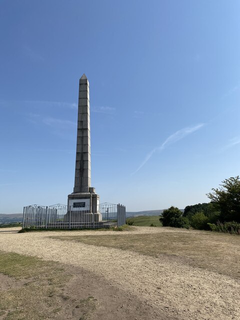
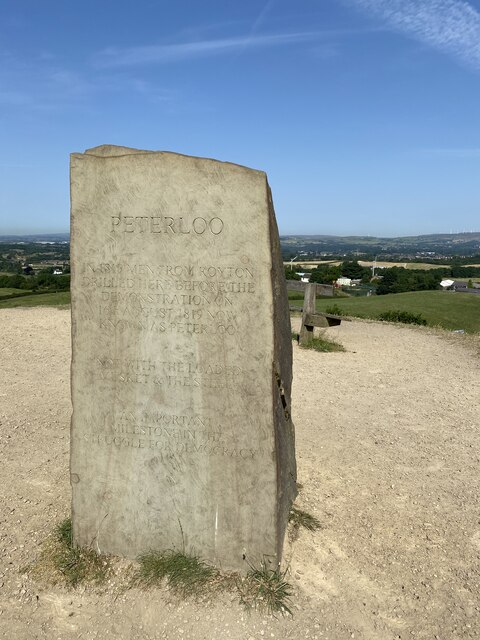
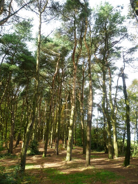
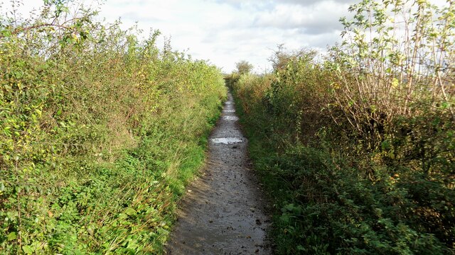
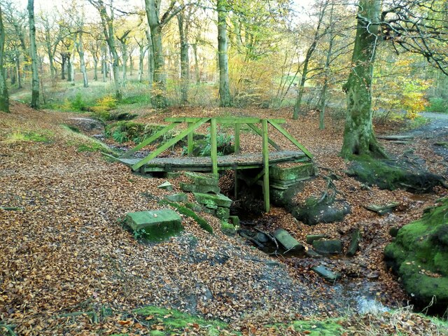
For recreational activities, Chadderton Heights offers numerous green spaces and parks where residents can enjoy outdoor leisure activities and pleasant walks. Nearby, residents can also find Chadderton Park, a popular destination featuring sports fields, a playground, and a tranquil lake.

Transportation in Chadderton Heights is well-connected, with regular bus services providing easy access to neighboring towns and cities. The area is also within close proximity to major road networks, including the M60 motorway, making it convenient for commuters.

Overall, Chadderton Heights offers a peaceful and family-friendly environment, combined with its convenient location and access to amenities, making it a desirable place to live within the Lancashire region.

If you have any feedback on the listing, please let us know in the comments section below.

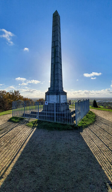
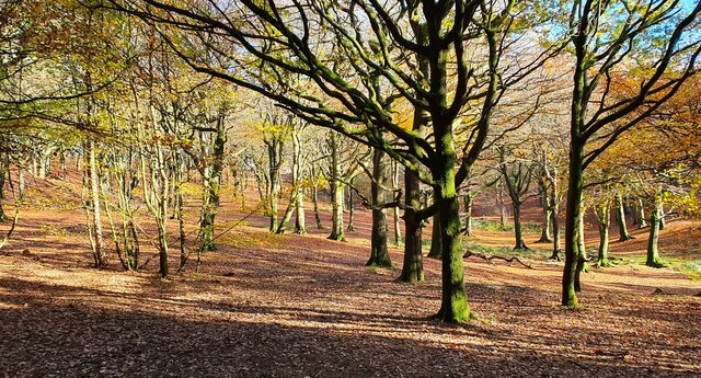
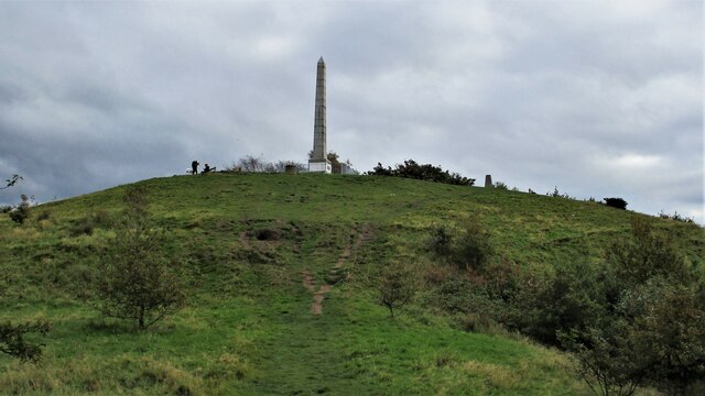
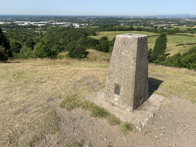
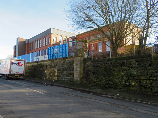
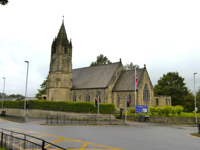
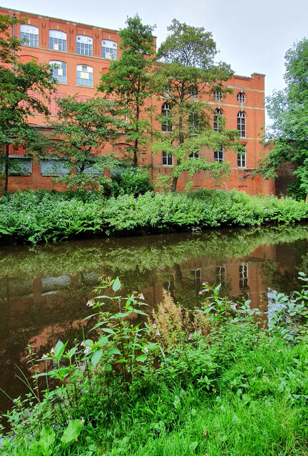
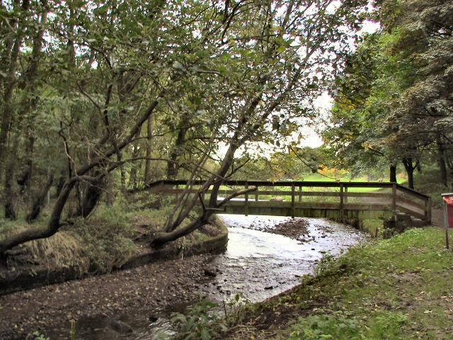
Chadderton Heights Images

Images are sourced within 2km of 53.563169/-2.1545458 or Grid Reference SD8907. Thanks to Geograph Open Source API. All images are credited.

Tandle Hill War memorial atop Tandle Hill.
Tandle Hill
War memorial atop Tandle Hill.
Tandle Hill Country Park
Tandle Hill With the war memorial viewed from the path from Thornham Fold
Tandle Hill
With the war memorial viewed from the path from Thornham Fold
Tandle Hill Trig Point Flush Bracket S2792
Tandle Hill War Memorial Inscription - TANDLE HILL/ PARK AND WOODS/ THESE GROUNDS ARE THE GIFT OF/ NORRIS BRADBURY ESQ. J.P./ OF TYNWALD MOUNT/ SHAW ROAD,/ ROYTON/ AS/ A THANK OFFERING FOR PEACE/ AFTER THE/ GREAT EUROPEAN WAR/ 1914 - 1919/ 6TH SEPR. 1919

<span class="nowrap"><a title="https://www.iwm.org.uk/memorials/item/memorial/44962" rel="nofollow ugc noopener" href="https://www.iwm.org.uk/memorials/item/memorial/44962">Link</a><img style="margin-left:2px;" alt="External link" title="External link - shift click to open in new window" src="https://s1.geograph.org.uk/img/external.png" width="10" height="10"/></span>
Tandle Hill War Memorial
Inscription - TANDLE HILL/ PARK AND WOODS/ THESE GROUNDS ARE THE GIFT OF/ NORRIS BRADBURY ESQ. J.P./ OF TYNWALD MOUNT/ SHAW ROAD,/ ROYTON/ AS/ A THANK OFFERING FOR PEACE/ AFTER THE/ GREAT EUROPEAN WAR/ 1914 - 1919/ 6TH SEPR. 1919 LinkExternal link
Peterloo Massacre Memorial Stone <span class="nowrap"><a title="https://en.wikipedia.org/wiki/Peterloo_Massacre" rel="nofollow ugc noopener" href="https://en.wikipedia.org/wiki/Peterloo_Massacre">Link</a><img style="margin-left:2px;" alt="External link" title="External link - shift click to open in new window" src="https://s1.geograph.org.uk/img/external.png" width="10" height="10"/></span>

The Peterloo Massacre took place at St Peter's Field, Manchester, Lancashire, England, on Monday 16 August 1819. Fifteen people died when cavalry charged into a crowd of around 60,000 people who had gathered to demand the reform of parliamentary representation.
Peterloo Massacre Memorial Stone
LinkExternal link The Peterloo Massacre took place at St Peter's Field, Manchester, Lancashire, England, on Monday 16 August 1819. Fifteen people died when cavalry charged into a crowd of around 60,000 people who had gathered to demand the reform of parliamentary representation.
Tandle Hill Car Park
OS Cut Mark - Royton, #30 Tandle Hill Road <span class="nowrap"><a title="https://www.bench-marks.org.uk/bm133984" rel="nofollow ugc noopener" href="https://www.bench-marks.org.uk/bm133984">Link</a><img style="margin-left:2px;" alt="External link" title="External link - shift click to open in new window" src="https://s1.geograph.org.uk/img/external.png" width="10" height="10"/></span>
OS Cut Mark - Royton, #30 Tandle Hill Road
Tandle Hill Country Park Woodland On the path that runs along the top of Oozewood Clough. The path runs through the wood whereas OS maps have it along the outside boundary
Tandle Hill Country Park Woodland
On the path that runs along the top of Oozewood Clough. The path runs through the wood whereas OS maps have it along the outside boundary
Oldham Way north of Tandle Hill An enclosed section of the trail before entering open fields towards Hanging Chadder
Oldham Way north of Tandle Hill
An enclosed section of the trail before entering open fields towards Hanging Chadder
Cinder Hill Lane Approaching Head o' th' Heys on this high edged lane used by the Oldham Way trail
Cinder Hill Lane
Approaching Head o' th' Heys on this high edged lane used by the Oldham Way trail
Oozewood Road With the empty Thornham Mill at the top of the road
Oozewood Road
With the empty Thornham Mill at the top of the road
Tandle Hill Country Park stream footbridge This bridge does not appear marked on maps
Tandle Hill Country Park stream footbridge
This bridge does not appear marked on maps
Delta Mill, Royton This former cotton spinning mill was built in 1902 and extended in 1913-14. In 1954 it had 124,996 mule spindles and 9,120 ring spindles. It ceased cotton production in 1979 and the top three floors were removed two years later. The premises are used by Coin Controls - a note and coin validation business. The massive engine house survives and is seen in this view. The engine house originally contained a 1500 horsepower J & E Wood horizontal steam engine. The angle of the sun and extensive tree growth prevented me from getting any better images.
Delta Mill, Royton
This former cotton spinning mill was built in 1902 and extended in 1913-14. In 1954 it had 124,996 mule spindles and 9,120 ring spindles. It ceased cotton production in 1979 and the top three floors were removed two years later. The premises are used by Coin Controls - a note and coin validation business. The massive engine house survives and is seen in this view. The engine house originally contained a 1500 horsepower J & E Wood horizontal steam engine. The angle of the sun and extensive tree growth prevented me from getting any better images.
Church of St Matthew
Works on Faulkenhurst Street Early OS maps show a Sunday School at this location and this works looks to have incorporated such a building
Works on Faulkenhurst Street
Early OS maps show a Sunday School at this location and this works looks to have incorporated such a building
Malta Mill Old cotton mill alongside the Rochdale Canal.
Malta Mill
Old cotton mill alongside the Rochdale Canal.
Locks on the Rochdale Canal Limefield farmhouse seen on the left of view
Locks on the Rochdale Canal
Limefield farmhouse seen on the left of view
Show me another place!

Chadderton Heights is located at Grid Ref: SD8907 (Lat: 53.563169, Lng: -2.1545458)

Unitary Authority: Oldham

Police Authority: Greater Manchester

What 3 Words

///extend.they.decent. Near Royton, Manchester

Related Wikis

Healds Green

Healds Green is a hamlet in the Metropolitan Borough of Oldham, Greater Manchester, England. It is in Chadderton's semi rural northern area, just to the...

North Chadderton School

North Chadderton School is a mixed gender secondary school and sixth form, located in Chadderton, in the Metropolitan Borough of Oldham, Greater Manchester...

St Matthew's Church, Chadderton

The Parish Church of St. Matthew is the Church of England parish church for Chadderton in Greater Manchester, England. It forms part of the Diocese of...

Chadderton Hall Park

Chadderton Hall Park is a park in Chadderton, in the Metropolitan Borough of Oldham, Greater Manchester, England. Its roots stretch back to the 13th century...

Nearby Amenities

Located within 500m of 53.563169,-2.1545458
Power: tower
Lat/Long: 53.5671785/-2.1521272
Power: tower
Lat/Long: 53.5662292/-2.1567862
Power: tower
Lat/Long: 53.5629284/-2.1580468
Power: tower
Lat/Long: 53.560483/-2.1589829
Barrier: stile
Lat/Long: 53.563321/-2.1542125
Healds Green
Place: hamlet
Lat/Long: 53.5592506/-2.156356
Barrier: stile
Stile: stepover
Lat/Long: 53.5667664/-2.1589899
Barrier: stile
Stile: stepover
Lat/Long: 53.5648933/-2.1569153
Barrier: stile
Dog Gate: yes
Stile: stepover
Lat/Long: 53.5632639/-2.1553856
The data included in this document is from www.openstreetmap.org. The data is made available under ODbL.

Have you been to Chadderton Heights?

Leave your review of Chadderton Heights below (or comments, questions and feedback).