Healds Green
Settlement in Lancashire
England
Healds Green
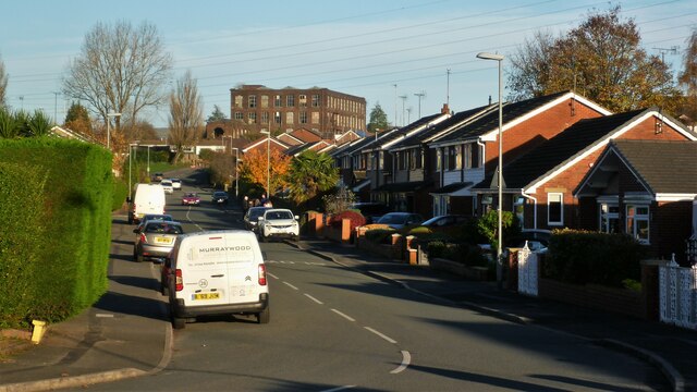
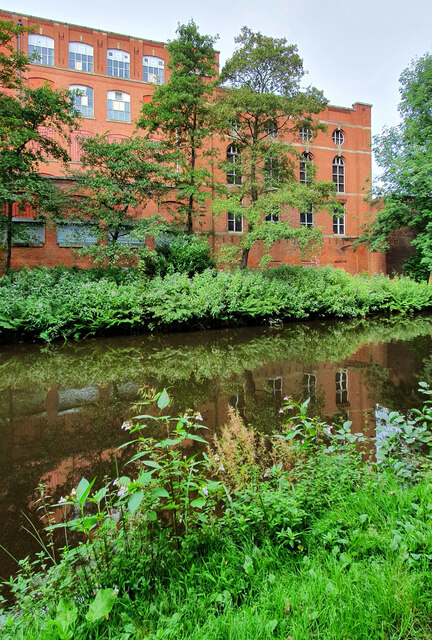
Healds Green is a small village located in the county of Lancashire, England. Situated in the northern part of the county, it falls within the borough of Rossendale. The village is nestled amidst rolling hills and picturesque countryside, offering a tranquil and idyllic setting for its residents.
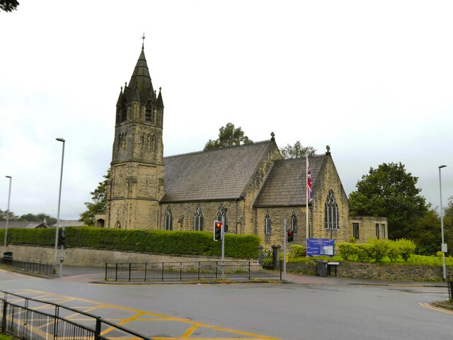
Healds Green is known for its rich history, dating back to medieval times. The village is home to several historic buildings, including a 14th-century church, St. James Church, which stands as a testament to its heritage. The village also features a number of traditional stone cottages, adding to its charm and character.
Despite its small size, Healds Green boasts a strong sense of community. The village has a close-knit population, with residents often engaging in various social activities and events. The local pub serves as a hub for the community, providing a place for residents to gather and socialize.
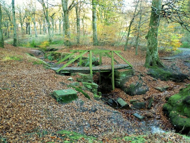
The surrounding countryside offers ample opportunities for outdoor activities, such as hiking, cycling, and walking. Healds Green is also conveniently located near larger towns and cities, including Burnley and Rochdale, providing residents with access to a range of amenities and services.
In terms of amenities, Healds Green has a primary school, a village hall, and a local convenience store, ensuring that residents have essential facilities within easy reach. The village enjoys a peaceful and rural atmosphere, making it an attractive place for those seeking a quieter lifestyle in the Lancashire countryside.
If you have any feedback on the listing, please let us know in the comments section below.
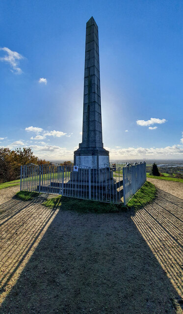
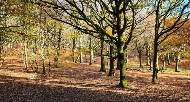
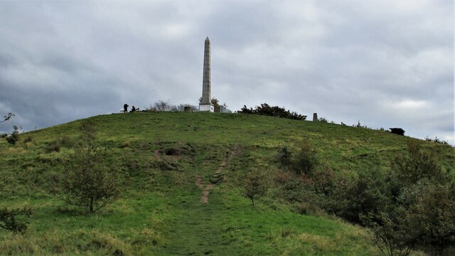
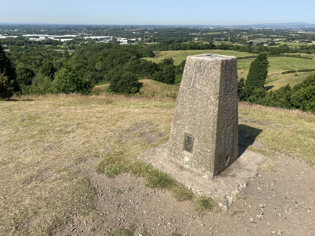
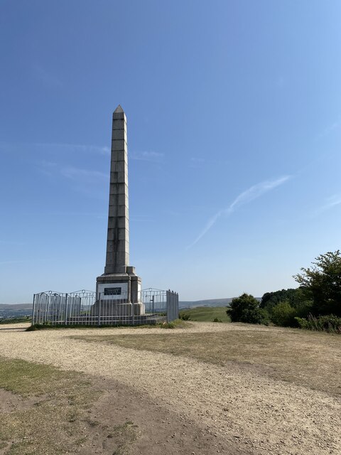
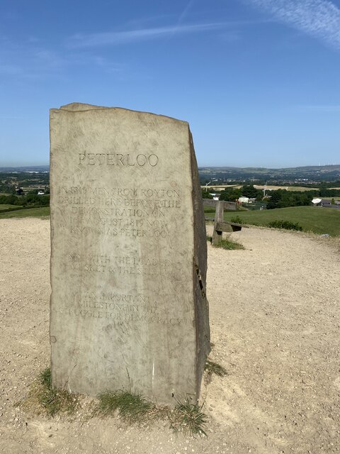
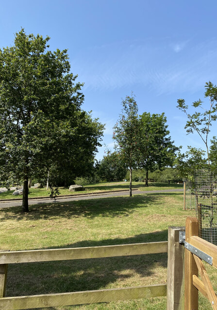
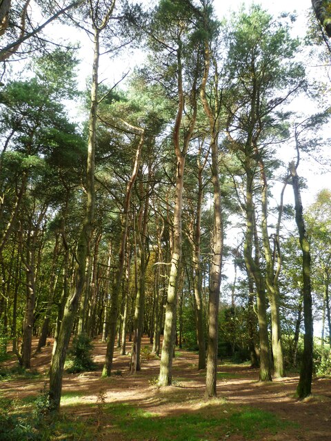
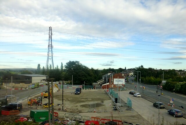
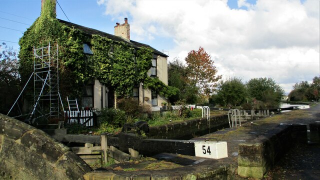
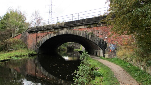
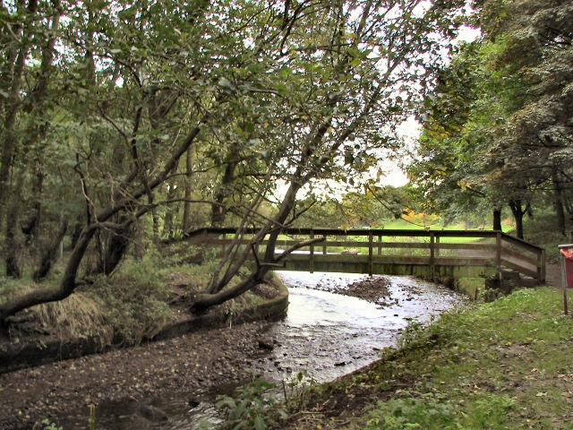
Healds Green Images
Images are sourced within 2km of 53.560142/-2.155464 or Grid Reference SD8907. Thanks to Geograph Open Source API. All images are credited.


Healds Green is located at Grid Ref: SD8907 (Lat: 53.560142, Lng: -2.155464)
Unitary Authority: Oldham
Police Authority: Greater Manchester
What 3 Words
///roofs.drive.flops. Near Royton, Manchester
Nearby Locations
Related Wikis

Healds Green
Healds Green is a hamlet in the Metropolitan Borough of Oldham, Greater Manchester, England. It is in Chadderton's semi rural northern area, just to the...

North Chadderton School
North Chadderton School is a mixed gender secondary school and sixth form, located in Chadderton, in the Metropolitan Borough of Oldham, Greater Manchester...

St Matthew's Church, Chadderton
The Parish Church of St. Matthew is the Church of England parish church for Chadderton in Greater Manchester, England. It forms part of the Diocese of...
Chadderton Hall Park
Chadderton Hall Park is a park in Chadderton, in the Metropolitan Borough of Oldham, Greater Manchester, England. Its roots stretch back to the 13th century...
Related Videos
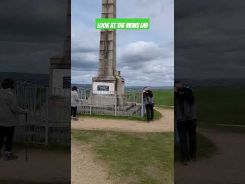

Wintry riverside walking and Simon's exercise class ( All The Rivers: The Irk part 2 )
The second part of our exploration of the river Irk takes us from Haggate to Chadderton Hall Park.

An EPIC WALKING TOUR FROM Mills Hill to Middleton Junction via everywhere in between
Join Owdham Vaults on an epic walking tour completely unplanned from Mills Hill to Middleton Junction (Greengate Brewery) via ...
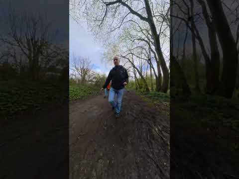
Ferney Fields, Chadderton, Oldham.
Easy walk along the old railway line, near to Ferney Fields, Chadderton, Oldham.
Nearby Amenities
Located within 500m of 53.560142,-2.155464Have you been to Healds Green?
Leave your review of Healds Green below (or comments, questions and feedback).