Chafford Hundred
Settlement in Essex
England
Chafford Hundred
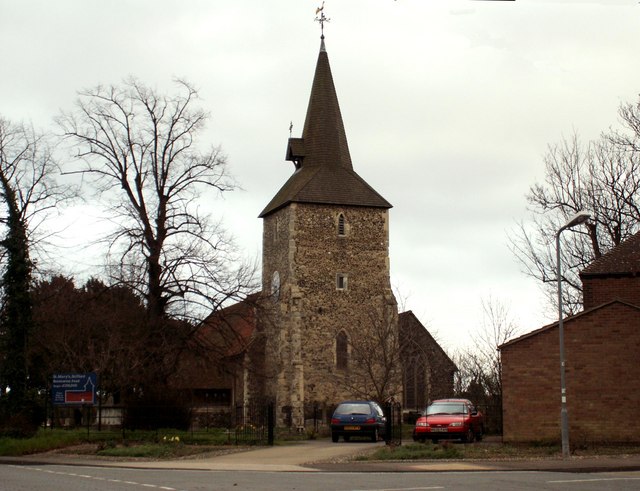
Chafford Hundred is a modern residential area located in the borough of Thurrock, Essex, England. Situated approximately 20 miles east of central London, it forms part of the wider town of Grays and is bordered by the River Thames to the south.
Originally agricultural land, Chafford Hundred underwent significant development in the late 20th century, transforming into a thriving suburban community. The area is characterized by its mix of housing types, including detached and semi-detached houses, as well as purpose-built apartment complexes. Many properties boast modern designs and ample green spaces, providing an attractive environment for families and professionals alike.
Chafford Hundred offers a range of amenities to its residents, including a shopping center known as Lakeside, which is one of the largest retail complexes in Europe. The area also benefits from several schools, a library, a medical center, and a leisure center with a swimming pool and gym facilities. The proximity to the River Thames provides opportunities for recreational activities such as boating, fishing, and riverside walks.
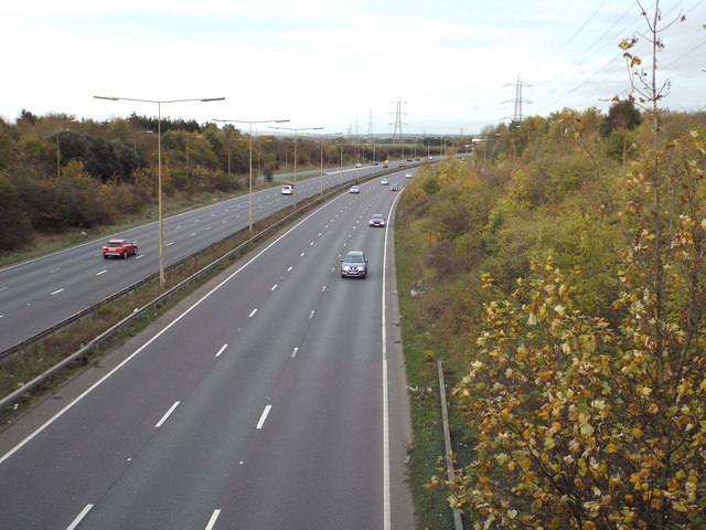
Transport links in Chafford Hundred are excellent, with its own railway station providing regular services to London Fenchurch Street in under 40 minutes. The area is also well-connected by road, with easy access to the M25 motorway, enabling convenient travel to other parts of Essex and beyond.
Overall, Chafford Hundred offers a modern and convenient living environment, combining a well-designed residential area with a range of amenities and excellent transport links, making it an increasingly popular choice for those seeking a suburban lifestyle within easy reach of London.
If you have any feedback on the listing, please let us know in the comments section below.
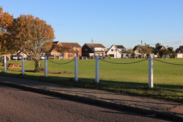
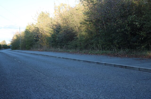
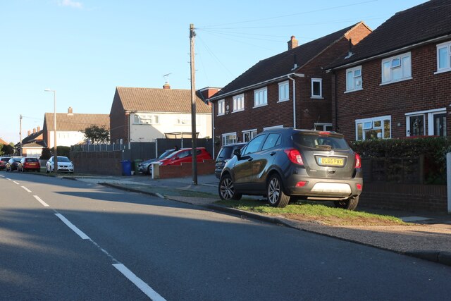
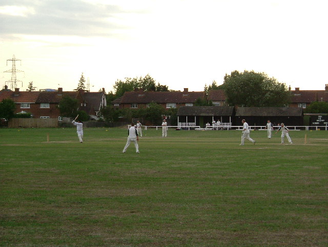
Chafford Hundred Images
Images are sourced within 2km of 51.488432/0.31411071 or Grid Reference TQ6079. Thanks to Geograph Open Source API. All images are credited.


Chafford Hundred is located at Grid Ref: TQ6079 (Lat: 51.488432, Lng: 0.31411071)
Unitary Authority: Thurrock
Police Authority: Essex
What 3 Words
///valley.kite.rift. Near Chafford Hundred, Essex
Nearby Locations
Related Wikis

Grays Thurrock Chalk Pit
Grays Thurrock Chalk Pit is a 17.3-hectare (43-acre) Site of Special Scientific Interest in Grays in Essex. It is part of Chafford Gorges Nature Park,...
Thames Gateway
Thames Gateway is a term applied to an area around the Thames Estuary in the context of discourse around regeneration and further urbanisation. The term...

Belmont Castle
Belmont Castle was a neo-Gothic mansion near Grays in the English county of Essex. Built c. 1795 to designs by the little-known Thomas Jeffery, and surrounded...
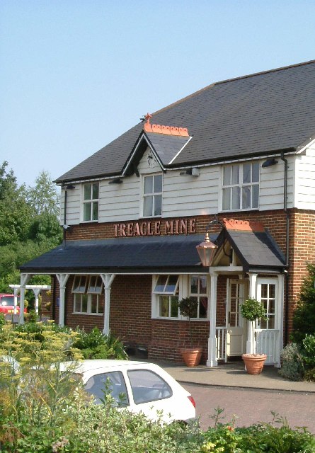
Treacle Mine Roundabout
Treacle Mine Roundabout is a suburban roundabout between Grays and Stifford Clays, Essex, England. It is named, as is the adjacent public house for the...

Hathaway Academy
The Hathaway Academy, formerly the Grays School Media Arts College (TGSMAC or Grays School), is a coeducational, non-selective secondary school with academy...

Chafford Hundred
Chafford Hundred is an area in the Borough of Thurrock in the ceremonial county of Essex, England. Chafford Hundred is north-west of Grays. Its railway...
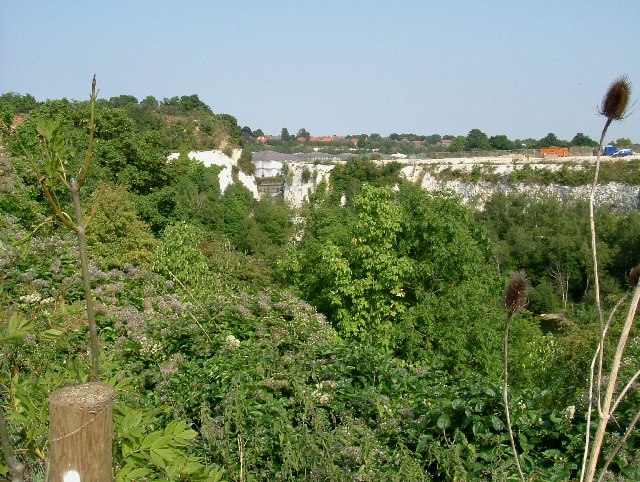
Chafford Gorges Nature Park
The Chafford Gorges Nature Park is a 200-acre (81 ha) nature reserve located in Chafford Hundred, England, and managed by the Essex Wildlife Trust. It...

Thurrock (UK Parliament constituency)
Thurrock is a constituency represented in the House of Commons of the UK Parliament since 2010 by Jackie Doyle-Price, a Conservative. == Constituency... ==
Nearby Amenities
Located within 500m of 51.488432,0.31411071Have you been to Chafford Hundred?
Leave your review of Chafford Hundred below (or comments, questions and feedback).